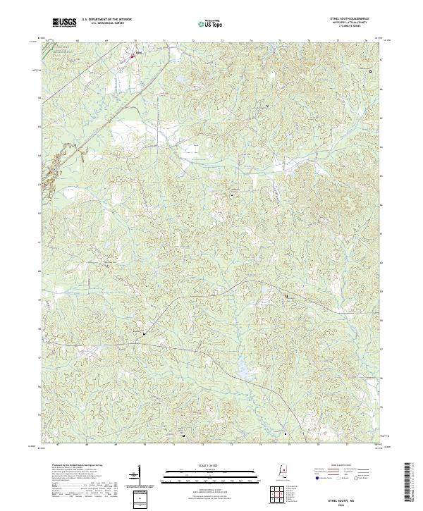
2024 Map of Ethel South
USGS Topo · Published 2024About this map
The town of Ethel anchors the northern edge of this Attala County landscape, where the Yockanookany River and Turkey Creek wind through a terrain defined by small family cemeteries and rural crossroads. The Natchez Trace Parkway cuts across the northwestern corner, following the ancient trade route and modern thoroughfare near LeFlore Creek. This area preserves a traditional Mississippi settlement pattern, with homesteads and community centers tied to family burial grounds like Harmony Cem and Carson Ridge Cem.
Find a feature on this map
75 named features on this map. Tap any name to fly to it.
Don’t see what you’re looking for? This feature index may not catch every label — zoom into the map to look around manually.
Map Details
Editions of this 2024 Ethel South Map
This is the sole edition of this map. No revisions or reprints were ever made.
Other maps of this area

1953 · Meridian
USGS Topo · 1:250,000

1953 · West Point
USGS Topo · 1:250,000

1957 · Meridian
USGS Topo · 1:250,000

1958 · West Point
USGS Topo · 1:250,000

1962 · Edinburg
USGS Topo · 1:62,500

1962 · Thomastown
USGS Topo · 1:62,500

1963 · West Point
USGS Topo · 1:250,000

1964 · Kosciusko NE
USGS Topo · 1:24,000

1964 · Kosciusko
USGS Topo · 1:24,000

1965 · Meridian
USGS Topo · 1:250,000