Old Maps of Baldwyn, Mississippi for Academic Research
Study the evolution of Baldwyn with 36 high-resolution historic maps. Whether you're teaching, researching, or modeling changes in land use, these maps provide essential visual documentation of urban, environmental, and geographic change.
- Analyze long-term change: Track patterns in development, transportation, and natural features.
- Ideal for environmental or urban studies: Support academic projects with primary historical map data.
- Use in the classroom or lab: Educators and researchers rely on these maps to bring historical context to life.
These maps are a powerful tool for teaching, research, and visualizing how Baldwyn has changed over the decades.
Baldwyn, MS maps
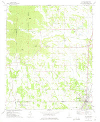
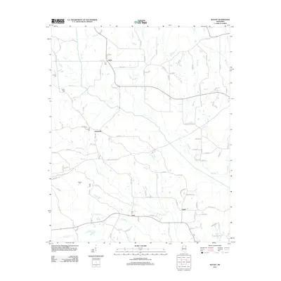
(36)- 1921 Map of Booneville
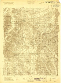 1921 Booneville1921 Print · USGSNortheast Mississippi was a landscape of tightly-knit rural communities in the early 1920s. Researchers can trace dozens of family-named schools and churches like Bynum School, Gaston Church, and Jumpertown along the Mobile and Ohio RR.2 unique versions available
 - 1921 Map of Tupelo
 1921 Tupelo1921 Print · USGSNortheast Mississippi in the early twenties centers on the rail hub at Tupelo as it begins to connect with the fledgling Bankhead Highway system. Genealogists and local historians can trace rural family life through numerous landmarks like Campbelltown Cemetery, Clayton Store, and the Pratts School.2 unique versions available
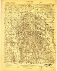
 - 1922 Map of Booneville
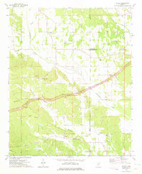
 1922 Booneville1922 Print · USGSPrentiss County during the early 1920s is centered on the Mobile and Ohio RR line connecting Booneville and Baldwyn. Family historians can trace local landmarks like Crossroads Church, Jumper School, and Blackland across this detailed rural landscape.
 - 1923 Map of Tupelo
 1923 Tupelo1923 Print · USGSLee County in the early twenties is a landscape of rural schoolhouses and rail junctions centered on the growing hub of Tupelo. Researchers can trace old family footprints at Campbelltown Cemetery or locate vanished sites like Kirks Gin and Beech Springs School.2 unique versions available
 - 1956 Map of Tupelo, 1967 Print
 1956 Tupelo1967 Print · USGSNortheast Mississippi and parts of Tennessee and Alabama are shown here during the mid-fifties, a time of major reservoir construction and forestry management. Researchers can trace the St Louis-San Francisco RR through Tupelo or locate historic sites like Tishomingo State Park and the University.2 unique versions available
 - 1958 Map of Tupelo
 1958 Tupelo1958 Print · USGSNortheast Mississippi and neighboring Alabama and Tennessee appear here during the late fifties as a region defined by new reservoirs and historic rail lines. Genealogists can trace family locations near Sardis Lake, Woodall Mountain, and the St Louis-San Francisco Ry.
 - 1973 Map of Guntown, 1975 Print
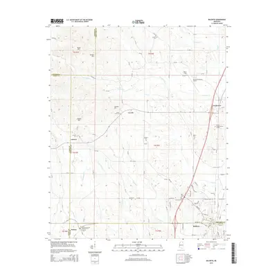
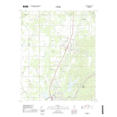
 1973 Guntown1975 Print · USGSNortheast Mississippi in the early seventies shows a landscape transitioning between traditional railroad towns and new recreational developments. Genealogists and local historians can trace family-named landmarks like Campbelltown Cem, Euclatubba Ch, and the emerging Natchez Trace Parkway.
 - 1973 Map of Wheeler, 1975 Print
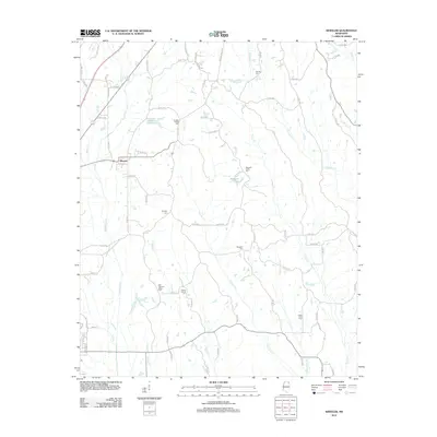
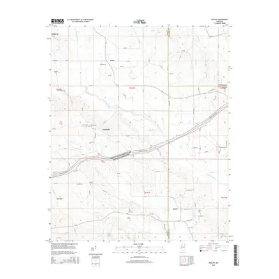
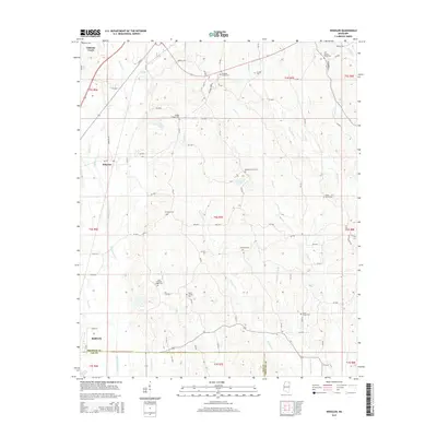
 1973 Wheeler1975 Print · USGSNortheast Mississippi in the early seventies shows a landscape of deep-rooted rural communities and active rail lines. Researchers can trace family history through numerous landmarks like Hodges Chapel Cem, Meadow Creek Ch, and the small settlement at Wheeler.
 - 1973 Map of Baldwyn, 1975 Print
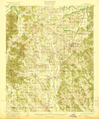
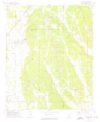
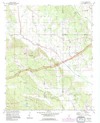
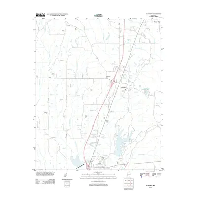
 1973 Baldwyn1975 Print · USGSNorthern Mississippi's hill country and rail corridors are detailed in the early seventies, centered on the historic crossroads at Baldwyn. Researchers can trace the Brice's Cross Roads National Battlefield Site or find old family landmarks like Oak Hill Ch and Sheppard Cem.2 unique versions available
 - 1973 Map of Ratliff, 1975 Print
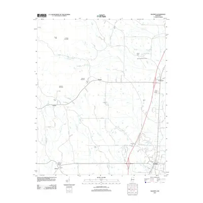
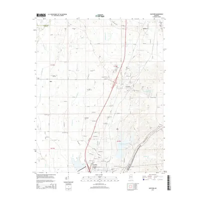
 1973 Ratliff1975 Print · USGSNortheast Mississippi was a landscape of quiet crossroads and historic creek bottoms in the early seventies. Genealogists can trace family names and local landmarks like Ratliff, the Peterson Cem, and the Natchez Trace Parkway.
 - 1984 Map of Corinth
 1984 Corinth1984 Print · USGSNortheast Mississippi and its borders with Alabama and Tennessee are captured here in the mid-1980s, showcasing a landscape of rail-connected towns and ridge-top settlements. Researchers can trace the path of the Natchez Trace Parkway or locate family-named landmarks near Biggersville, Kossuth, and the historic Tennessee Divide.
 - 1984 Map of Tupelo
 1984 Tupelo1984 Print · USGSNorth Mississippi in the 1980s is defined by its massive river basin reservoirs and the growing regional hubs of Tupelo and Oxford. Researchers can trace the legacy of the Pontotoc Ridge, find the University of Mississippi, and map early Interstate corridors near Sardis Lake.3 unique versions available
 - 1984 Map of Tupelo, 1985 Print
 1984 Tupelo1985 Print · USGSNortheast Mississippi and the Alabama borderlands are shown in the mid-1980s as timber and river networks shaped the region. Trace local history through the Illinois Central Gulf rail line and sites like the Old Natchez Trace Parkway.
 - 1992 Map of Guntown, 1995 Print
 1992 Guntown1995 Print · USGSNortheast Mississippi’s Lee County is shown here in the early nineties during a period of infrastructure growth and rural continuity. Researchers can locate many local landmarks, from the Natchez Trace Parkway to old family plots like Gaston Cem and Campbelltown Cem.
 - 1992 Map of Ratliff, 1995 Print
 1992 Ratliff1995 Print · USGSNortheast Mississippi’s hill country is captured here in the early 1990s as the Natchez Trace Parkway cuts through the rural landscape. Researchers can trace family sites and local landmarks at Pratts, Chapelville, and Oak Grove Cem.
 - 1994 Map of Corinth
 1994 Corinth1994 Print · USGSNortheast Mississippi and the Tennessee borderlands are captured in the mid-1990s as the region's modern industrial and recreational landscape took shape. Genealogists and historians can trace rail-to-river connections through Corinth, the old courthouse at Jacinto, and the route of the Natchez Trace Parkway.
 - 2012 Map of Ratliff, 2012 Print
 2012 Ratliff2012 Print · USGSCovers Baldwyn, including Pratts, Ratliff, and other nearby areas
 - 2012 Map of Wheeler, 2012 Print
 2012 Wheeler2012 Print · USGSCovers Baldwyn, including Booneville, Wheeler, and other nearby areas
 - 2012 Map of Baldwyn, 2012 Print
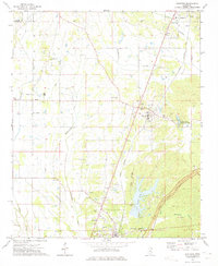
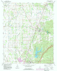
 2012 Baldwyn2012 Print · USGSCovers Baldwyn, including Lebanon, Frankstown, and other nearby areas
 - 2012 Map of Guntown, 2012 Print
 2012 Guntown2012 Print · USGSCovers Baldwyn, including Saltillo, Guntown, and other nearby areas
 - 2015 Map of Ratliff, 2015 Print
 2015 Ratliff2015 Print · USGSCovers Baldwyn, including Pratts, Ratliff, and other nearby areas
 - 2015 Map of Baldwyn, 2015 Print
 2015 Baldwyn2015 Print · USGSCovers Baldwyn, including Lebanon, Frankstown, and other nearby areas
 - 2015 Map of Guntown, 2015 Print
 2015 Guntown2015 Print · USGSCovers Baldwyn, including Saltillo, Guntown, and other nearby areas
 - 2015 Map of Wheeler, 2015 Print
 2015 Wheeler2015 Print · USGSCovers Baldwyn, including Booneville, Wheeler, and other nearby areas
 - 2018 Map of Guntown, 2018 Print
 2018 Guntown2018 Print · USGSCovers Baldwyn, including Saltillo, Guntown, and other nearby areas
Showing maps 1-25 of 36
Top cities near Baldwyn
- Tupelo historical maps
- Booneville historical maps
- Saltillo historical maps
- Fulton historical maps
- Guntown historical maps
- Mantachie historical maps
See more
Frequently asked questions
- What are the different types of historical maps available for Baldwyn?
- What is the oldest map of Baldwyn?
- Where can I purchase historical maps of Baldwyn for my home or office?
- Where can I download high-res historical maps of Baldwyn?
- Are there historical topographic maps available for Baldwyn?
- Is there historical aerial imagery available for Baldwyn?
- Where are historical maps of Baldwyn sourced from?