Old Maps of Spring Hill, Mississippi for Academic Research
Study the evolution of Spring Hill with 12 high-resolution historic maps. Whether you're teaching, researching, or modeling changes in land use, these maps provide essential visual documentation of urban, environmental, and geographic change.
- Analyze long-term change: Track patterns in development, transportation, and natural features.
- Ideal for environmental or urban studies: Support academic projects with primary historical map data.
- Use in the classroom or lab: Educators and researchers rely on these maps to bring historical context to life.
These maps are a powerful tool for teaching, research, and visualizing how Spring Hill has changed over the decades.
Spring Hill, MS maps
(12)- 1950 Map of Ashland, 1952 Print
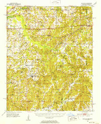 1950 Ashland1952 Print · USGSBenton County at the mid-century is captured here as a landscape of small timber towns and forest clearings before modern development. You can trace early school sites like Holloway Sch and family-centered landmarks such as Whitten Town and Hunters Chapel.3 unique versions available
 - 1956 Map of Tupelo, 1967 Print
 1956 Tupelo1967 Print · USGSNortheast Mississippi and parts of Tennessee and Alabama are shown here during the mid-fifties, a time of major reservoir construction and forestry management. Researchers can trace the St Louis-San Francisco RR through Tupelo or locate historic sites like Tishomingo State Park and the University.2 unique versions available
 - 1958 Map of Tupelo
 1958 Tupelo1958 Print · USGSNortheast Mississippi and neighboring Alabama and Tennessee appear here during the late fifties as a region defined by new reservoirs and historic rail lines. Genealogists can trace family locations near Sardis Lake, Woodall Mountain, and the St Louis-San Francisco Ry.
 - 1982 Map of Canaan, 1983 Print
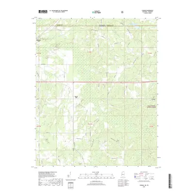
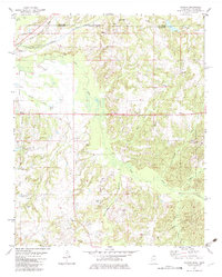 1982 Canaan1983 Print · USGSBenton County, Mississippi, sits along the Tennessee state line in the early eighties, a landscape of timber and river bottoms. Family historians can trace small communities like Spring Hill and Canaan, alongside numerous burial sites including Valentine Cem and Fleet Cem.
 - 1984 Map of Tupelo
 1984 Tupelo1984 Print · USGSNorth Mississippi in the 1980s is defined by its massive river basin reservoirs and the growing regional hubs of Tupelo and Oxford. Researchers can trace the legacy of the Pontotoc Ridge, find the University of Mississippi, and map early Interstate corridors near Sardis Lake.3 unique versions available
 - 2000 Map of Canaan, 2003 Print
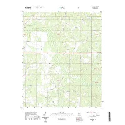
 2000 Canaan2003 Print · USGSThe Tennessee-Mississippi borderlands at the start of the 2000s reveal a quiet landscape of forest preserves and family homesteads. Genealogists can trace decades of community roots through Michigan City and numerous rural landmarks like Harris Chapel or McKenzie Cem.
 - 2010 Map of Canaan, 2010 Print
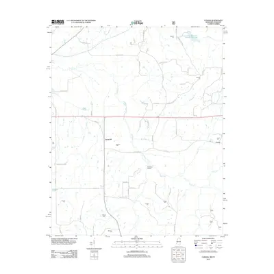
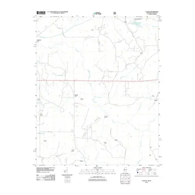 2010 Canaan2010 Print · USGSCovers Spring Hill, including Canaan, Fayette County, and other nearby areas
 - 2012 Map of Canaan, 2012 Print
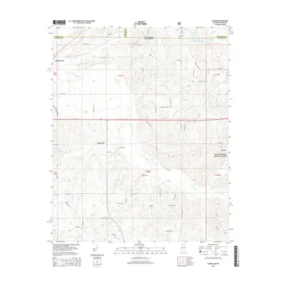
 2012 Canaan2012 Print · USGSCovers Spring Hill, including Canaan, Fayette County, and other nearby areas
 - 2015 Map of Canaan, 2015 Print
 2015 Canaan2015 Print · USGSCovers Spring Hill, including Canaan, Fayette County, and other nearby areas
 - 2018 Map of Canaan, 2018 Print
 2018 Canaan2018 Print · USGSCovers Spring Hill, including Canaan, Fayette County, and other nearby areas
 - 2021 Map of Canaan, 2021 Print
 2021 Canaan2021 Print · USGSCovers Spring Hill, including Canaan, Fayette County, and other nearby areas
 - 2024 Map of Canaan, 2024 Print
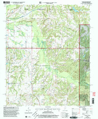
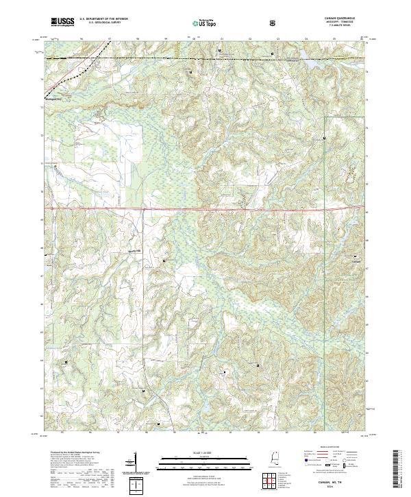 2024 Canaan2024 Print · USGSThe borderlands of Benton County and Fayette County come into focus in this recent survey of the North Mississippi countryside. Genealogists can trace family roots through a dozen named burial sites, from McKinzie Cem to the Saint Paul Skipper Springs Church Cem.
End of results
Showing maps 1-12 of 12
Top cities near Spring Hill
- Holly Springs historical maps
- Ripley historical maps
- Ashland historical maps
- Moscow historical maps
- Williston historical maps
- Snow Lake Shores historical maps
See more
Frequently asked questions
- What are the different types of historical maps available for Spring Hill?
- What is the oldest map of Spring Hill?
- Where can I purchase historical maps of Spring Hill for my home or office?
- Where can I download high-res historical maps of Spring Hill?
- Are there historical topographic maps available for Spring Hill?
- Is there historical aerial imagery available for Spring Hill?
- Where are historical maps of Spring Hill sourced from?