Old Maps of Slate Springs, Mississippi for Academic Research
Study the evolution of Slate Springs with 33 high-resolution historic maps. Whether you're teaching, researching, or modeling changes in land use, these maps provide essential visual documentation of urban, environmental, and geographic change.
- Analyze long-term change: Track patterns in development, transportation, and natural features.
- Ideal for environmental or urban studies: Support academic projects with primary historical map data.
- Use in the classroom or lab: Educators and researchers rely on these maps to bring historical context to life.
These maps are a powerful tool for teaching, research, and visualizing how Slate Springs has changed over the decades.
Slate Springs, MS maps
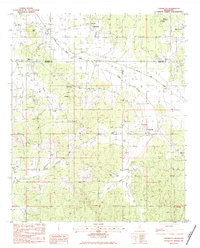
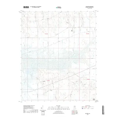
(33)- 1953 Map of Walthall
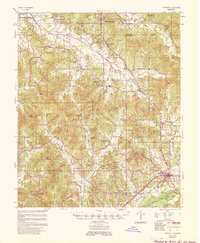 1953 Walthall1953 Print · USGSMid-century Webster County is documented here during a period of rural stability, centered on the county seat and the rail junction at Eupora. Researchers can trace old family sites and rural landmarks like Doolittle Chapel Sch, Greenboro Ch & Cem, and the historic Natchez Trace.
 - 1953 Map of West Point, 1973 Print
 1953 West Point1973 Print · USGSNorth-Central Mississippi and the Alabama borderlands are captured here during the mid-twentieth century as new reservoirs and national forests transformed the landscape. Researchers can trace the path of the Mississippi & Skuna Valley railroad or locate old landings along the Tombigbee River and Schooner Creek.3 unique versions available
 - 1954 Map of Pittsboro
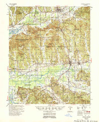 1954 Pittsboro1954 Print · USGSCalhoun County's river valleys and timberlands are captured here in the mid-fifties as the Grenada Reservoir took shape. Genealogists can locate family landmarks such as Zion Springs Ch & Cem, Worford Ch & Sch, and the Mississippi & Skuna Valley RR.3 unique versions available
 - 1958 Map of West Point
 1958 West Point1958 Print · USGSNortheastern Mississippi and western Alabama are shown in the late 1950s, highlighting a region defined by its river-and-rail economy. Researchers can trace family roots through numerous settlements like Artesia and Vardaman or explore the corridor of the Tombigbee River.
 - 1963 Map of West Point
 1963 West Point1963 Print · USGSEastern Mississippi and western Alabama are captured in the early sixties as industrial centers and rail lines connected the Black Prairie to the hills. Genealogists and historians can trace family-named watercourses and the early footprints of Starkville, Columbus, and the Noxubee National Wildlife Refuge.2 unique versions available
 - 1976 Map of Pittsboro SE, 1977 Print
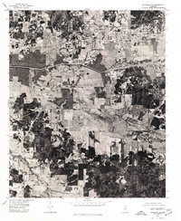 1976 Pittsboro SE1977 Print · USGSCalhoun County in the mid-seventies is seen here through detailed aerial photography, showing the rural landscape around Calhoun City. Researchers can trace land use patterns and water management systems like the Yalobusha Canal and the town grid of Derma.
 - 1976 Map of Walthall NE, 1977 Print
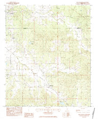
 1976 Walthall NE1977 Print · USGSWebster County’s rural landscape is revealed through mid-seventies aerial imagery, documenting the timberlands and homesteads of northern Mississippi. Researchers can locate exact building footprints and property clearings near Bellefontaine, Slate Spring, and Embry.
 - 1983 Map of Cadaretta, 1984 Print
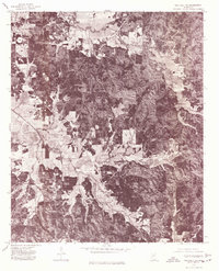
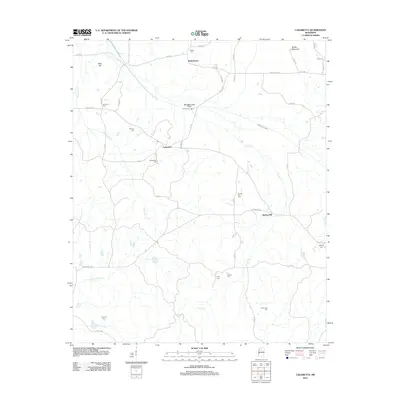
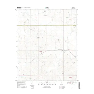
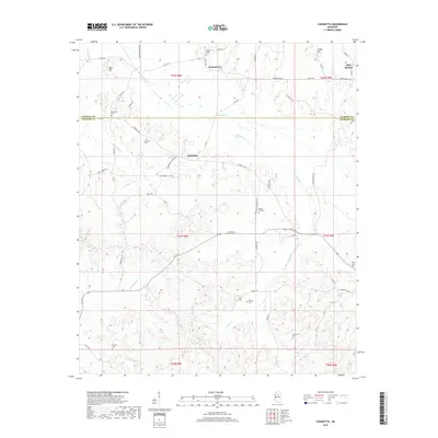
 1983 Cadaretta1984 Print · USGSNorth Mississippi's rural communities at the Calhoun and Webster County line are captured here in the early eighties. Genealogists can trace family footprints at Old Salem Cem and Pittman Cem or locate the rural pulpits of Philadelphia Ch and Embry Ch.
 - 1983 Map of Bellefontaine, 1984 Print
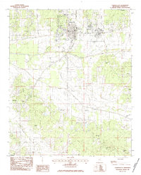
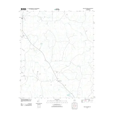
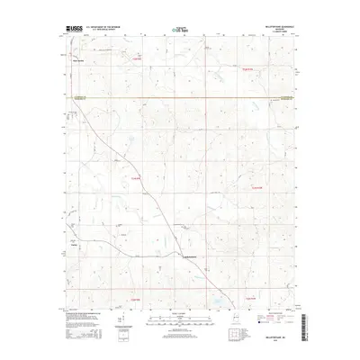
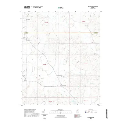
 1983 Bellefontaine1984 Print · USGSThe Webster and Calhoun County borderlands are captured here in the early eighties, still defined by the historic Old Indian Treaty Boundary. Genealogists can trace family names at Vance Cem, Spencer Cem, and the community surrounding Slate Spring.
 - 1983 Map of Calhoun City, 1984 Print
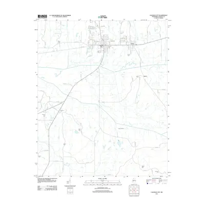
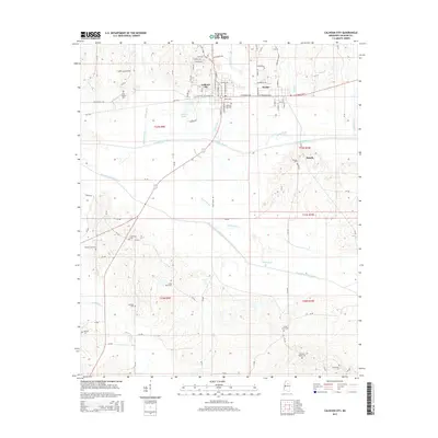
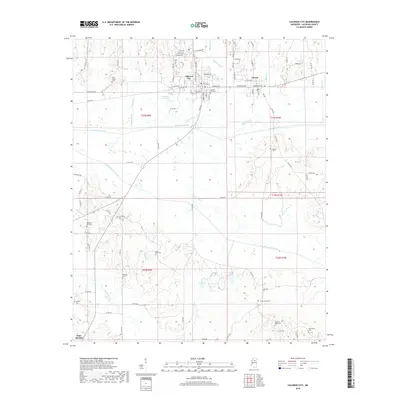
 1983 Calhoun City1984 Print · USGSCalhoun County in the early eighties shows a landscape shaped by ancient borders and river networks. Researchers can trace the Old Indian Treaty Boundary near Calhoun City or locate family history at Cross Road Cem and Benele Cem.
 - 1983 Map of Big Creek, 1984 Print
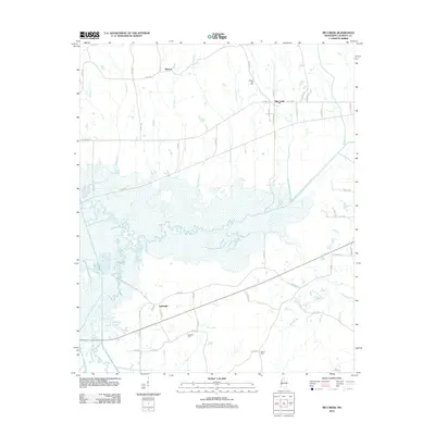
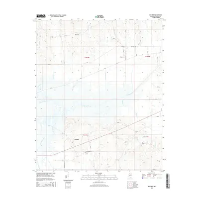
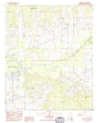 1983 Big Creek1984 Print · USGSCalhoun County in the early eighties was defined by its winding waterways and managed wilderness areas. Researchers can trace the Indian Treaty Boundary Line or locate family roots near Sabougla, Magness Cem, and Chapel Hill Ch.
 - 1984 Map of West Point
 1984 West Point1984 Print · USGSNorth-Central Mississippi in the mid-eighties shows a landscape defined by massive water management projects and dense timberlands. Researchers can trace the legacy of rural settlements like Geeslin Corner or the rail corridors of the Illinois Central Gulf RR near Grenada Lake.3 unique versions available
 - 1984 Map of Grenada, 1990 Print
 1984 Grenada1990 Print · USGSNorth Central Mississippi’s river valleys and conservation lands are captured here in the mid-1980s. Researchers can trace the sprawling Camp Mc Cain, the Illinois Central Gulf rail line, and the historic Treaty Boundary.
 - 2012 Map of Bellefontaine, 2012 Print
 2012 Bellefontaine2012 Print · USGSCovers Slate Springs, including Bellefontaine, Embry, and other nearby areas
 - 2012 Map of Calhoun City, 2012 Print
 2012 Calhoun City2012 Print · USGSCovers Slate Springs, including Calhoun City, Derma, and other nearby areas
 - 2012 Map of Cadaretta, 2012 Print
 2012 Cadaretta2012 Print · USGSCovers Slate Springs, including Cadaretta, Spring Hill, and other nearby areas
 - 2012 Map of Big Creek, 2012 Print
 2012 Big Creek2012 Print · USGSCovers Slate Springs, including Big Creek, Retreat, and other nearby areas
 - 2015 Map of Bellefontaine, 2015 Print
 2015 Bellefontaine2015 Print · USGSCovers Slate Springs, including Bellefontaine, Embry, and other nearby areas
 - 2015 Map of Cadaretta, 2015 Print
 2015 Cadaretta2015 Print · USGSCovers Slate Springs, including Cadaretta, Spring Hill, and other nearby areas
 - 2015 Map of Big Creek, 2015 Print
 2015 Big Creek2015 Print · USGSCovers Slate Springs, including Big Creek, Retreat, and other nearby areas
 - 2015 Map of Calhoun City, 2015 Print
 2015 Calhoun City2015 Print · USGSCovers Slate Springs, including Calhoun City, Derma, and other nearby areas
 - 2018 Map of Big Creek, 2018 Print
 2018 Big Creek2018 Print · USGSCovers Slate Springs, including Big Creek, Retreat, and other nearby areas
 - 2018 Map of Calhoun City, 2018 Print
 2018 Calhoun City2018 Print · USGSCovers Slate Springs, including Calhoun City, Derma, and other nearby areas
 - 2018 Map of Cadaretta, 2018 Print
 2018 Cadaretta2018 Print · USGSCovers Slate Springs, including Cadaretta, Spring Hill, and other nearby areas
 - 2018 Map of Bellefontaine, 2018 Print
 2018 Bellefontaine2018 Print · USGSCovers Slate Springs, including Bellefontaine, Embry, and other nearby areas
Showing maps 1-25 of 33
Top cities near Slate Springs
- Eupora historical maps
- Calhoun City historical maps
- Derma historical maps
- Vardaman historical maps
- Pittsboro historical maps
- Walthall historical maps
See more
Frequently asked questions
- What are the different types of historical maps available for Slate Springs?
- What is the oldest map of Slate Springs?
- Where can I purchase historical maps of Slate Springs for my home or office?
- Where can I download high-res historical maps of Slate Springs?
- Are there historical topographic maps available for Slate Springs?
- Is there historical aerial imagery available for Slate Springs?
- Where are historical maps of Slate Springs sourced from?