2000s (21st Century) Maps of Chickasaw County, Mississippi
Explore 89 historic maps of Chickasaw County from the 2000s (21st Century). These maps offer a rare glimpse into what life looked like during the 2000s — showing old roads, neighborhoods, homes, and landmarks that have changed or disappeared over time.
Whether you're researching your family's past, planning a metal detecting trip, or studying how Chickasaw County's landscape evolved across the 2000s, these high-resolution maps are a powerful tool for exploring the history of this region.
- Focus on a specific era: All maps on this page are from the 2000s, giving you a focused view of this time period.
- See what’s changed: Compare century-old streets, trails, and buildings to today's modern landscape using overlays and satellite layers.
- Research with precision: Use these maps for genealogy, historical research, land use analysis, or educational projects.
- View, download, or print: Maps are fully viewable online in high resolution, and can be downloaded or printed for your own records.
Start exploring Chickasaw County's history through authentic maps from the 2000s. This is your window into the past.
Chickasaw County, MS maps
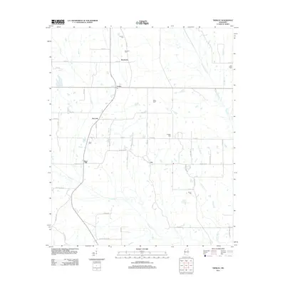
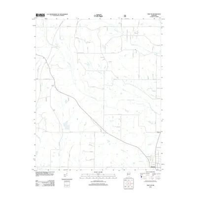
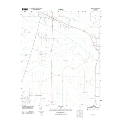
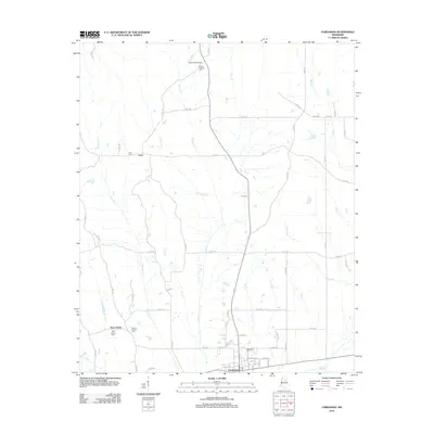
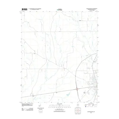
(89)- 2000 Map of Troy, 2002 Print
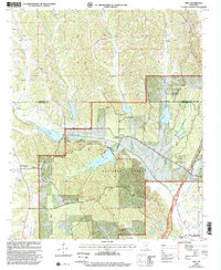 2000 Troy2002 Print · USGSThe hill country of Chickasaw and Pontotoc counties is shown here at the turn of the millennium, centered on the protected lands of the Tombigbee National Forest. Researchers can locate historic rural congregations and sites like the Owl Creek Indian Mounds, Old Houlka, and Toxish Ch.
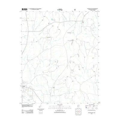
 - 2000 Map of Buena Vista, 2002 Print
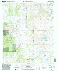 2000 Buena Vista2002 Print · USGSChickasaw County at the turn of the century shows a landscape of creek-side settlements and rural congregations. Genealogists can trace family roots through numerous sites like Mt Moriah Cem, New Hope Ch, and Buena Vista.
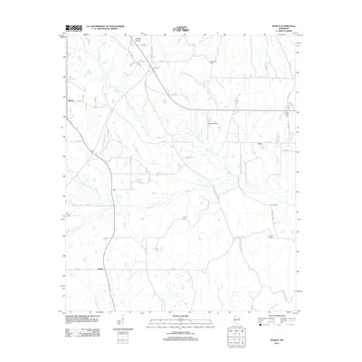
 - 2000 Map of Troy SE, 2002 Print
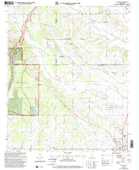 2000 Troy SE2002 Print · USGSChickasaw and Lee Counties at the turn of the millennium show a landscape of forest reserves and small crossroads communities. Genealogists can trace family landmarks like Snow Town Ch Cem, Bethany, and Union Chapel near the Natchez Trace Parkway.
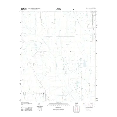
 - 2000 Map of Houston East, 2002 Print
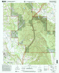 2000 Houston East2002 Print · USGSThe Tombigbee National Forest and the path of the Natchez Trace Parkway define this Chickasaw County landscape at the turn of the century. Researchers can trace rural lineages through family landmarks like Bynum Mounds, Witch Dance Cem, and Van Vleet.
 - 2012 Map of Trebloc, 2012 Print
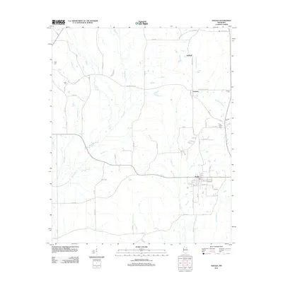
 2012 Trebloc2012 Print · USGSCovers Chickasaw County, including McCondy, Barrs Mill, and other nearby areas
 - 2012 Map of Houston East, 2012 Print
 2012 Houston East2012 Print · USGSCovers Chickasaw County, including Houston, Parkersburg, and other nearby areas
 - 2012 Map of Sparta, 2012 Print
 2012 Sparta2012 Print · USGSCovers Chickasaw County, including Sparta, Sonora, and other nearby areas
 - 2012 Map of Buena Vista, 2012 Print
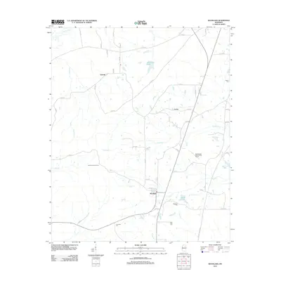
 2012 Buena Vista2012 Print · USGSCovers Chickasaw County, including Okolona, Jolly, and other nearby areas
 - 2012 Map of Prairie, 2012 Print
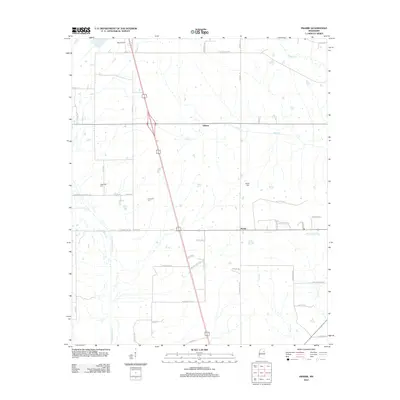 2012 Prairie2012 Print · USGSCovers Chickasaw County, including Prairie, Gibson, and other nearby areas
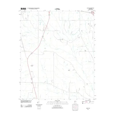
 - 2012 Map of Robbs, 2012 Print
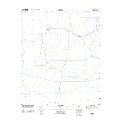 2012 Robbs2012 Print · USGSCovers Chickasaw County, including Buckhorn, Robbs, and other nearby areas
 - 2012 Map of Troy SE, 2012 Print
 2012 Troy SE2012 Print · USGSCovers Chickasaw County, including Okolona, Lee County, and other nearby areas
 - 2012 Map of Houlka, 2012 Print
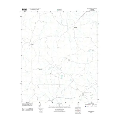
 2012 Houlka2012 Print · USGSCovers Chickasaw County, including Gershorm, New Houlka, and other nearby areas
 - 2012 Map of Shannon, 2012 Print
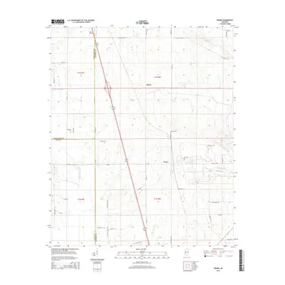
 2012 Shannon2012 Print · USGSCovers Chickasaw County, including Okolona, Nettleton, and other nearby areas
 - 2012 Map of Egypt, 2012 Print
 2012 Egypt2012 Print · USGSCovers Chickasaw County, including Okolona, Egypt, and other nearby areas
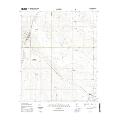
 - 2012 Map of Troy, 2012 Print
 2012 Troy2012 Print · USGSCovers Chickasaw County, including Goodford, Old Houlka, and other nearby areas
 - 2012 Map of Mantee, 2012 Print
 2012 Mantee2012 Print · USGSCovers Chickasaw County, including Mantee, Dancy, and other nearby areas
 - 2012 Map of Vardaman, 2012 Print
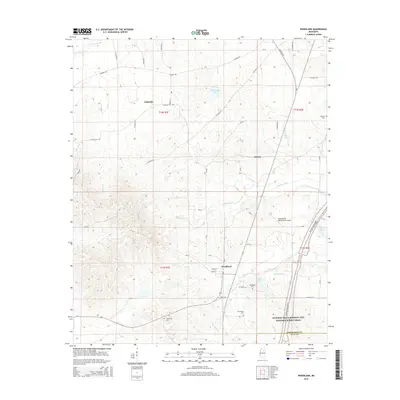
 2012 Vardaman2012 Print · USGSCovers Chickasaw County, including Vardaman, Loyd, and other nearby areas
 - 2012 Map of Atlanta, 2012 Print
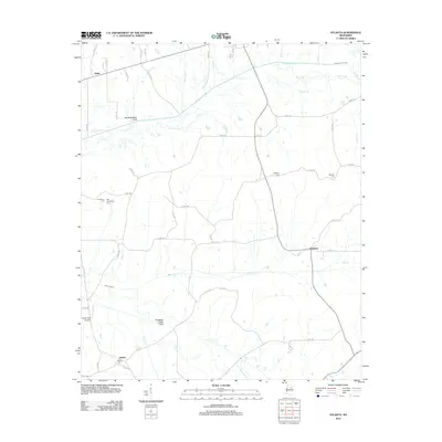 2012 Atlanta2012 Print · USGSCovers Chickasaw County, including Vardaman, Bently, and other nearby areas
 - 2012 Map of Hohenlinden, 2012 Print
 2012 Hohenlinden2012 Print · USGSCovers Chickasaw County, including Clarkson, Hohenlinden, and other nearby areas
 - 2012 Map of Woodland, 2012 Print
 2012 Woodland2012 Print · USGSCovers Chickasaw County, including Woodland, Anchor, and other nearby areas
 - 2012 Map of Houston West, 2012 Print
 2012 Houston West2012 Print · USGSCovers Chickasaw County, including Houston, Thorn, and other nearby areas
 - 2015 Map of Robbs, 2015 Print
 2015 Robbs2015 Print · USGSCovers Chickasaw County, including Buckhorn, Robbs, and other nearby areas
 - 2015 Map of Troy SE, 2015 Print
 2015 Troy SE2015 Print · USGSCovers Chickasaw County, including Okolona, Lee County, and other nearby areas
 - 2015 Map of Prairie, 2015 Print
 2015 Prairie2015 Print · USGSCovers Chickasaw County, including Prairie, Gibson, and other nearby areas
 - 2015 Map of Woodland, 2015 Print
 2015 Woodland2015 Print · USGSCovers Chickasaw County, including Woodland, Anchor, and other nearby areas
Showing maps 1-25 of 89
Top cities of Chickasaw County
Frequently asked questions
- What are the different types of historical maps available for Chickasaw County?
- What is the oldest map of Chickasaw County?
- Where can I purchase historical maps of Chickasaw County for my home or office?
- Where can I download high-res historical maps of Chickasaw County?
- Are there historical topographic maps available for Chickasaw County?
- Is there historical aerial imagery available for Chickasaw County?
- Where are historical maps of Chickasaw County sourced from?