2010s Maps of Chickasaw County, Mississippi
Explore 51 historic maps of Chickasaw County from the 2010s. These maps offer a rare glimpse into what life looked like during the 2010s — showing old roads, neighborhoods, homes, and landmarks that have changed or disappeared over time.
Whether you're researching your family's past, planning a metal detecting trip, or studying how Chickasaw County's landscape evolved across the 2010s, these high-resolution maps are a powerful tool for exploring the history of this region.
- Focus on a specific era: All maps on this page are from the 2010s, giving you a focused view of this time period.
- See what’s changed: Compare century-old streets, trails, and buildings to today's modern landscape using overlays and satellite layers.
- Research with precision: Use these maps for genealogy, historical research, land use analysis, or educational projects.
- View, download, or print: Maps are fully viewable online in high resolution, and can be downloaded or printed for your own records.
Start exploring Chickasaw County's history through authentic maps from the 2010s. This is your window into the past.
Chickasaw County, MS maps
(51)- 2012 Map of Trebloc, 2012 Print
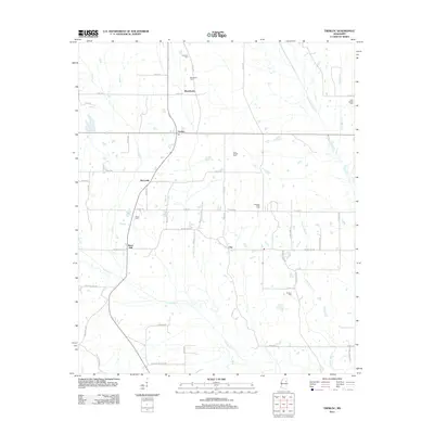 2012 Trebloc2012 Print · USGSChickasaw County's rural landscape is captured here in the early 2000s, centered on the historic crossroads of McCondy and Trebloc. Genealogists can trace family roots through numerous local sites like Mixon Cem and Pleasant Plain Cem near Barrs Mill.
 - 2012 Map of Houston East, 2012 Print
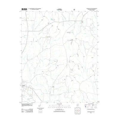 2012 Houston East2012 Print · USGSEastern Chickasaw County in the early twenty-first century is defined by the historic corridor of the Natchez Trace Pkwy. Genealogists and researchers can trace local family lineages through several sites like Concord Cem, Asbury Cem, and Van Vleet.
 - 2012 Map of Sparta, 2012 Print
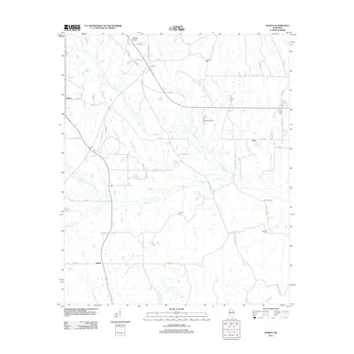 2012 Sparta2012 Print · USGSChickasaw County, Mississippi, is shown here in the early twenty-first century as a landscape of rural homesteads and historic drainage basins. Researchers can locate family sites and landmarks like Hughes Cem, New Hope Cem, and the path of the Natchez Trace Pkwy.
 - 2012 Map of Buena Vista, 2012 Print
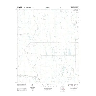 2012 Buena Vista2012 Print · USGSChickasaw County prairies and quiet agricultural settlements are captured here in the early twenty-first century. Genealogists and local researchers can locate numerous historic burial sites such as Confederate Cem, Snow Cem, and Pulliam Cem among the winding banks of Chuquatonchee Cr.
 - 2012 Map of Prairie, 2012 Print
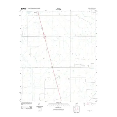 2012 Prairie2012 Print · USGSMonroe County's rural landscape is captured here in the early twenty-first century, centered on the settlements of Prairie and Gibson. Family historians can trace local roots through the Patterson Cem and Reedy Cem or explore the drainages of Chuquatonchee Cr.
 - 2012 Map of Robbs, 2012 Print
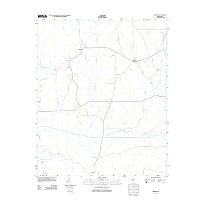 2012 Robbs2012 Print · USGSPontotoc County remains a landscape of quiet crossroads and family homesteads as seen in this early twenty-first-century survey. Genealogists can trace family heritage through local landmarks like Blount Cem, Indian Creek Cem, and the settlement of Robbs.
 - 2012 Map of Troy SE, 2012 Print
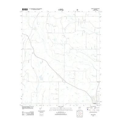 2012 Troy SE2012 Print · USGSThe outskirts of Okolona and the winding path of the Natchez Trace Pkwy are captured here in the early twenty-first century. Genealogists and local historians can trace the creek-side boundaries of the countryside along Tallabinnela Cr and Tubbalubba Cr or locate Memory Gardens near the town limits.
 - 2012 Map of Houlka, 2012 Print
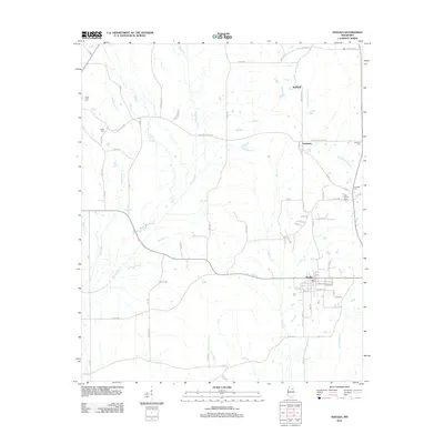 2012 Houlka2012 Print · USGSThe rural landscape north of Houlka is documented here during the early twenty-first century as the area transitioned into a modern agricultural corridor. Genealogists can trace family heritage through scattered burial grounds like Indian Creek Cem and East County Line Cem or the small settlements of Gershorm and Wallfield.
 - 2012 Map of Shannon, 2012 Print
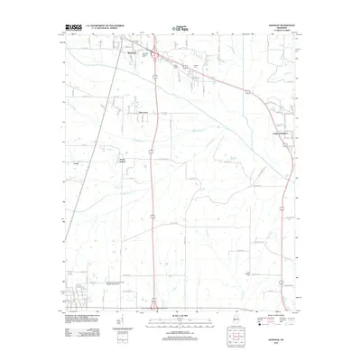 2012 Shannon2012 Print · USGSNortheastern Mississippi at the start of the 2010s shows a landscape of long-standing family settlements and vital creek systems. Researchers can locate several burial grounds including Whiteside (Family) Cem and trace the paths of Tubbalubba Cr and Chiwapa Cr.
 - 2012 Map of Egypt, 2012 Print
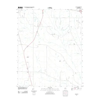 2012 Egypt2012 Print · USGSThe rural landscape of Chickasaw County is captured here in the early twenty-first century, showing a region defined by prairie creeks and small settlements. Genealogists can locate several local burial sites including Baker Cem and Word Cem near the banks of Mattubby Cr.
 - 2012 Map of Troy, 2012 Print
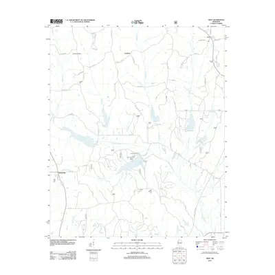 2012 Troy2012 Print · USGSNorthern Mississippi's rural landscape is captured here in the early twenty-first century, showing the area around Goodford and Troy. Genealogists can trace family landmarks like Falkner Cem and Bluff Springs Cem near Davis Lake.
 - 2012 Map of Mantee, 2012 Print
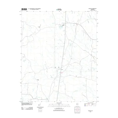 2012 Mantee2012 Print · USGSWebster County at the start of the 2010s reveals a quiet landscape of rural crossroads and family burial grounds centered on the Big Black River. Researchers can trace old family roots at Mount Hope Cem, Pine Bluff Cem, and the small settlement of Dancy.
 - 2012 Map of Vardaman, 2012 Print
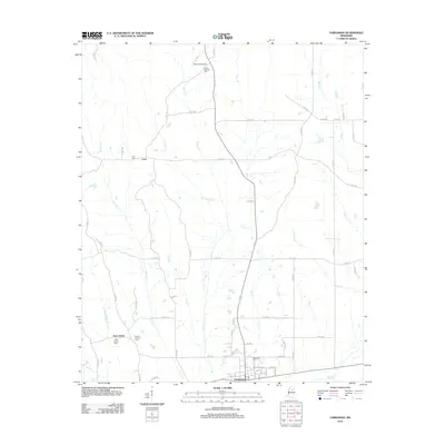 2012 Vardaman2012 Print · USGSCalhoun County's agricultural landscape is seen here in the early twenty-first century, centered on the community of Vardaman. Genealogists and local historians can locate family landmarks like Poplar Springs Cem, Mount Herman Cem, and the Reid Lookout Tower.
 - 2012 Map of Atlanta, 2012 Print
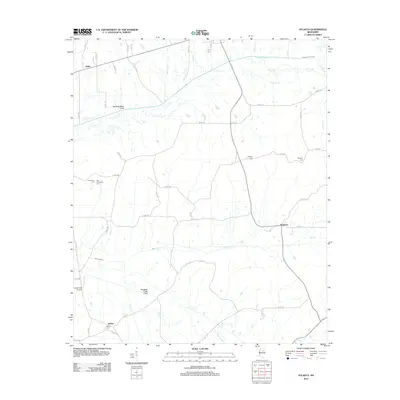 2012 Atlanta2012 Print · USGSThe rural landscape of Calhoun County is defined here by twentieth-century drainage engineering and scattered local settlements. Genealogists and historians can trace the locations of Providence Cem, Bently, and the Topashaw Creek Canal at Atlanta.
 - 2012 Map of Hohenlinden, 2012 Print
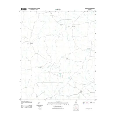 2012 Hohenlinden2012 Print · USGSNortheast Mississippi’s rural landscape is detailed here just after the turn of the millennium, showing the networks connecting Hohenlinden and Clarkson. Genealogists can trace local roots at Montevista Cem, Double Springs Cem, and the Webster Lookout Tower.
 - 2012 Map of Woodland, 2012 Print
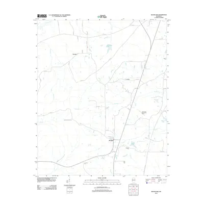 2012 Woodland2012 Print · USGSChickasaw County, Mississippi, is shown here in the early 2010s as a quiet region of timberland and small rural communities. Researchers can trace family history through sites like Friendship Cem or locate local landmarks such as Tabbville and the Woodland Lookout Tower.
 - 2012 Map of Houston West, 2012 Print
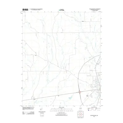 2012 Houston West2012 Print · USGSChickasaw County appears in the early twenty-first century as a landscape of rural crossroads and river bottomlands. Genealogists and local historians can trace the vicinity of Thelma, Thorn, and Pyland or locate the Houston Municipal Airport.
 - 2015 Map of Robbs, 2015 Print
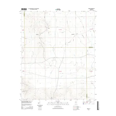 2015 Robbs2015 Print · USGSNorth-central Mississippi at the junction of three counties reveals a landscape shaped by the Skuna River and its many tributaries. Genealogists and local researchers can trace the rural communities of Robbs and Buckhorn alongside historic sites like Collums Cem and Blount Cem.
 - 2015 Map of Troy SE, 2015 Print
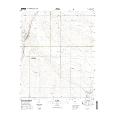 2015 Troy SE2015 Print · USGSChickasaw County in the mid-2010s shows the town of Okolona set against the expansive Tombigbee National Forest. Researchers can trace old family sites near Pleasant Grove Cem or follow the path of the Natchez Trace Parkway.
 - 2015 Map of Prairie, 2015 Print
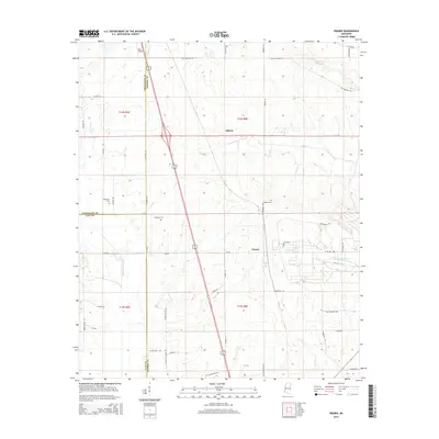 2015 Prairie2015 Print · USGSThe rural landscape of Northeast Mississippi is documented here as it appeared in the mid-2010s. Researchers can locate family landmarks such as Patterson Cem and Reedy Cem while tracing the winding paths of Chuquatonchee Cr and James Cr.
 - 2015 Map of Woodland, 2015 Print
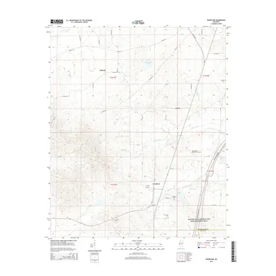 2015 Woodland2015 Print · USGSMississippi's interior hills in the 2010s show a landscape of rural settlements and winding creek bottoms near the Chickasaw and Clay County line. Researchers can trace family history through local landmarks like Friendship Cem and the small crossroads of Tabbville and Anchor.
 - 2015 Map of Trebloc, 2015 Print
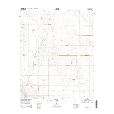 2015 Trebloc2015 Print · USGSChickasaw and Clay Counties are shown here during the mid-2010s, capturing a traditional landscape of small crossroads communities and family cemeteries. Genealogists and historians can trace the areas around McCondy, Barrs Mill, and Soul Chapel Cem.
 - 2015 Map of Houlka, 2015 Print
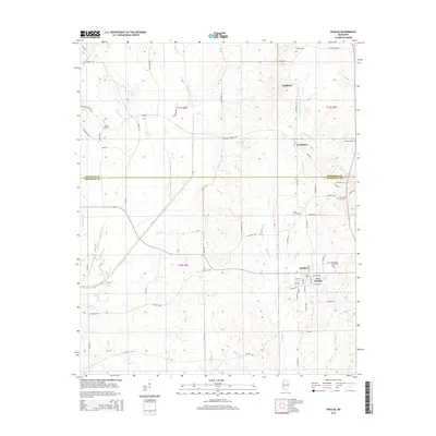 2015 Houlka2015 Print · USGSNortheastern Mississippi at the Chickasaw and Pontotoc county line shows a landscape defined by the Skuna River and rural crossroads. Local researchers can trace family landmarks like Cooke Cem, Gershorm, and the neighboring settlements of Houlka and New Houlka.
 - 2015 Map of Sparta, 2015 Print
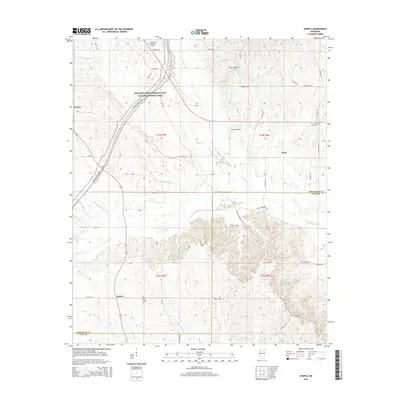 2015 Sparta2015 Print · USGSThe rural border of Chickasaw and Clay counties is captured here in the mid-2010s, bisected by the Natchez Trace Parkway. Researchers can locate family landmarks like Oak Grove Cemetery, Hughes Cemetery, and the quiet settlements of Sparta and Enon.
 - 2015 Map of Hohenlinden, 2015 Print
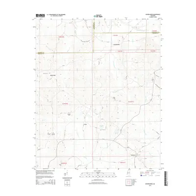 2015 Hohenlinden2015 Print · USGSThe rural borderlands of Webster and Chickasaw counties are captured here during a period of quiet, enduring settlement. Family historians can trace ancestral roots through numerous local landmarks, including Ball Cem, the community of Fame, and the waters of Shutupigah Cr.
Showing maps 1-25 of 51
Top cities of Chickasaw County
Frequently asked questions
- What are the different types of historical maps available for Chickasaw County?
- What is the oldest map of Chickasaw County?
- Where can I purchase historical maps of Chickasaw County for my home or office?
- Where can I download high-res historical maps of Chickasaw County?
- Are there historical topographic maps available for Chickasaw County?
- Is there historical aerial imagery available for Chickasaw County?
- Where are historical maps of Chickasaw County sourced from?