Old Maps of Olive Branch, Mississippi for Academic Research
Study the evolution of Olive Branch with 19 high-resolution historic maps. Whether you're teaching, researching, or modeling changes in land use, these maps provide essential visual documentation of urban, environmental, and geographic change.
- Analyze long-term change: Track patterns in development, transportation, and natural features.
- Ideal for environmental or urban studies: Support academic projects with primary historical map data.
- Use in the classroom or lab: Educators and researchers rely on these maps to bring historical context to life.
These maps are a powerful tool for teaching, research, and visualizing how Olive Branch has changed over the decades.
Olive Branch, MS maps
(19)- 1944 Map of Hernando, 1946 Print
 1944 Hernando1946 Print · USGSDeSoto County communities and the rising waters of the Arkabutla Reservoir are documented here in the mid-1940s. Genealogists can locate family landmarks like Betts Sch Ch & Cemetery, the Drain Family Cem, and old schools in Cockrum or Lewisburg.3 unique versions available
 - 1956 Map of Tupelo, 1967 Print
 1956 Tupelo1967 Print · USGSNortheast Mississippi and parts of Tennessee and Alabama are shown here during the mid-fifties, a time of major reservoir construction and forestry management. Researchers can trace the St Louis-San Francisco RR through Tupelo or locate historic sites like Tishomingo State Park and the University.2 unique versions available
 - 1958 Map of Tupelo
 1958 Tupelo1958 Print · USGSNortheast Mississippi and neighboring Alabama and Tennessee appear here during the late fifties as a region defined by new reservoirs and historic rail lines. Genealogists can trace family locations near Sardis Lake, Woodall Mountain, and the St Louis-San Francisco Ry.
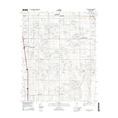
 - 1982 Map of Pleasant Hill
 1982 Pleasant Hill1982 Print · USGSDeSoto County and Shelby County meet in the early 1980s as suburban expansion reaches southward across the state line. Genealogists and local historians can trace the development of Southaven or locate the rural Pleasant Hill community and Sunrise Lake.
 - 1982 Map of Olive Branch
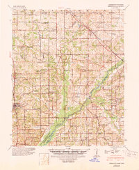
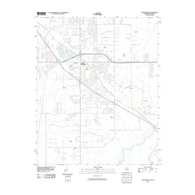
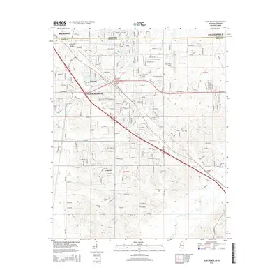
 1982 Olive Branch1982 Print · USGSDe Soto County, Mississippi, sits just below the Tennessee line in the early eighties as the area begins a transition toward growth. Genealogists and researchers can trace the roads connecting Olive Branch to smaller settlements like Miller and Fairhaven near the Goldwater River.
 - 1984 Map of Tupelo
 1984 Tupelo1984 Print · USGSNorth Mississippi in the 1980s is defined by its massive river basin reservoirs and the growing regional hubs of Tupelo and Oxford. Researchers can trace the legacy of the Pontotoc Ridge, find the University of Mississippi, and map early Interstate corridors near Sardis Lake.3 unique versions available
 - 1996 Map of Pleasant Hill, 2001 Print
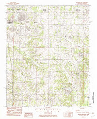
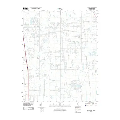
 1996 Pleasant Hill2001 Print · USGSDeSoto County at the turn of the millennium shows the transition from rural crossroads to suburban expansion south of the state line. Genealogists and local historians can trace family locations near Pleasant Hill, Nesbitt, and the old Welch Sta.
 - 2010 Map of Olive Branch, 2010 Print
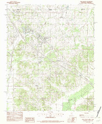
 2010 Olive Branch2010 Print · USGSCovers Olive Branch, including Memphis, Cedarview, and other nearby areas
 - 2010 Map of Pleasant Hill, 2010 Print
 2010 Pleasant Hill2010 Print · USGSCovers Olive Branch, including Memphis, Southaven, and other nearby areas
 - 2012 Map of Olive Branch, 2012 Print
 2012 Olive Branch2012 Print · USGSCovers Olive Branch, including Memphis, Cedarview, and other nearby areas
 - 2012 Map of Pleasant Hill, 2012 Print
 2012 Pleasant Hill2012 Print · USGSCovers Olive Branch, including Memphis, Southaven, and other nearby areas
 - 2015 Map of Olive Branch, 2015 Print
 2015 Olive Branch2015 Print · USGSCovers Olive Branch, including Memphis, Cedarview, and other nearby areas
 - 2015 Map of Pleasant Hill, 2015 Print
 2015 Pleasant Hill2015 Print · USGSCovers Olive Branch, including Memphis, Southaven, and other nearby areas
 - 2018 Map of Olive Branch, 2018 Print
 2018 Olive Branch2018 Print · USGSCovers Olive Branch, including Memphis, Cedarview, and other nearby areas
 - 2018 Map of Pleasant Hill, 2018 Print
 2018 Pleasant Hill2018 Print · USGSCovers Olive Branch, including Memphis, Southaven, and other nearby areas
 - 2021 Map of Pleasant Hill, 2021 Print
 2021 Pleasant Hill2021 Print · USGSCovers Olive Branch, including Memphis, Southaven, and other nearby areas
 - 2021 Map of Olive Branch, 2021 Print
 2021 Olive Branch2021 Print · USGSCovers Olive Branch, including Memphis, Cedarview, and other nearby areas
 - 2024 Map of Olive Branch, 2024 Print
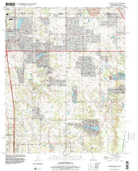
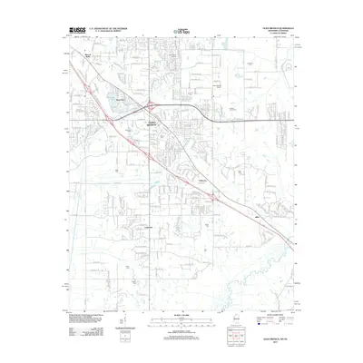
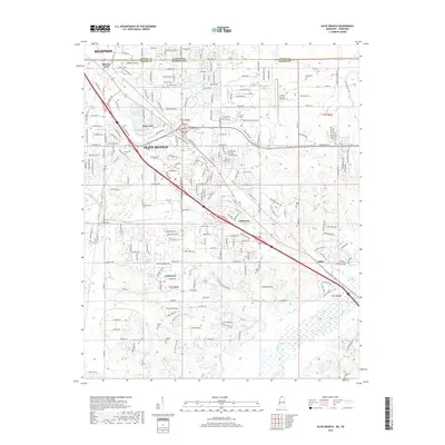
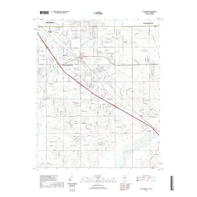
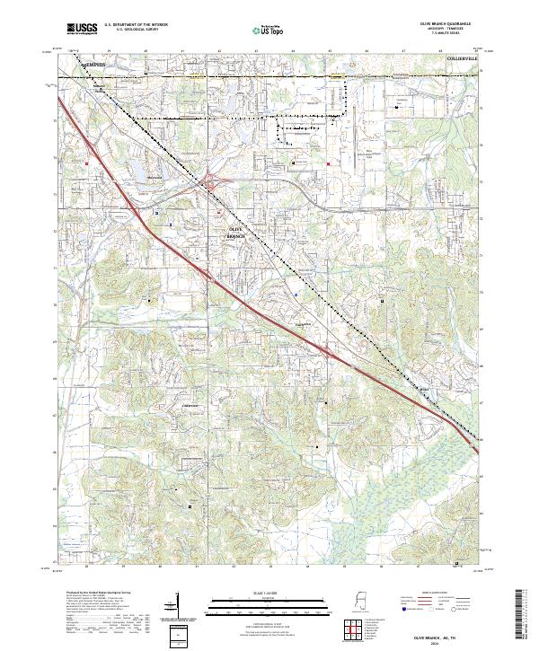 2024 Olive Branch2024 Print · USGSDeSoto County and the Tennessee state line are shown during a period of significant suburban expansion south of Memphis. Genealogists can trace family connections at numerous burial grounds like Blocker Cem and Bass Cem or locate the Stateline Church of Christ.
 - 2024 Map of Pleasant Hill, 2024 Print
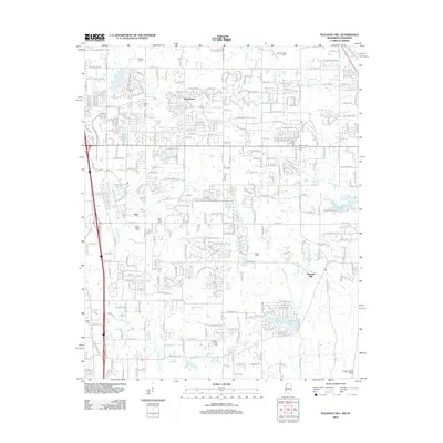
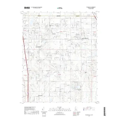
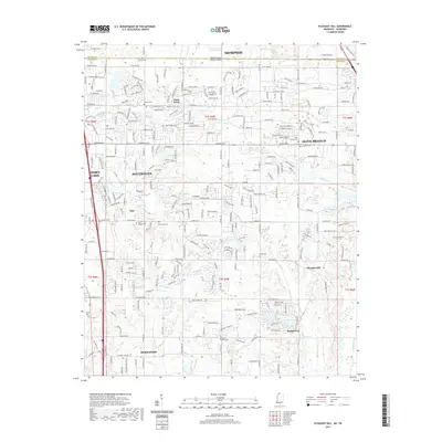
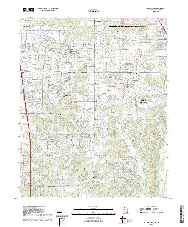 2024 Pleasant Hill2024 Print · USGSNorthern Mississippi and the Tennessee borderlands are captured here during a period of significant suburban growth. Researchers can locate many family burial grounds, including Avery Chapel Cem, Saint Thomas Cem, and Mount Olive Cem near Pleasant Hill.
End of results
Showing maps 1-19 of 19
Top cities near Olive Branch
- Memphis historical maps
- Collierville historical maps
- Southaven historical maps
- Germantown historical maps
- Horn Lake historical maps
- Hernando historical maps
See more
Top neighborhoods of Olive Branch
- Maywood historical maps
- Fairhaven historical maps
- Mineral Wells historical maps
- Crossroads Distribution Centers historical maps
- Cherokee Ridge historical maps
- Cherokee Trails historical maps
See more
Frequently asked questions
- What are the different types of historical maps available for Olive Branch?
- What is the oldest map of Olive Branch?
- Where can I purchase historical maps of Olive Branch for my home or office?
- Where can I download high-res historical maps of Olive Branch?
- Are there historical topographic maps available for Olive Branch?
- Is there historical aerial imagery available for Olive Branch?
- Where are historical maps of Olive Branch sourced from?