2000s (21st Century) Maps of Forrest County, Mississippi
Explore 64 historic maps of Forrest County from the 2000s (21st Century). These maps offer a rare glimpse into what life looked like during the 2000s — showing old roads, neighborhoods, homes, and landmarks that have changed or disappeared over time.
Whether you're researching your family's past, planning a metal detecting trip, or studying how Forrest County's landscape evolved across the 2000s, these high-resolution maps are a powerful tool for exploring the history of this region.
- Focus on a specific era: All maps on this page are from the 2000s, giving you a focused view of this time period.
- See what’s changed: Compare century-old streets, trails, and buildings to today's modern landscape using overlays and satellite layers.
- Research with precision: Use these maps for genealogy, historical research, land use analysis, or educational projects.
- View, download, or print: Maps are fully viewable online in high resolution, and can be downloaded or printed for your own records.
Start exploring Forrest County's history through authentic maps from the 2000s. This is your window into the past.
Forrest County, MS maps
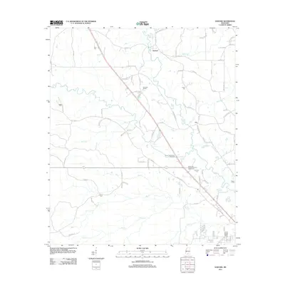
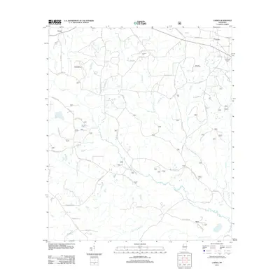
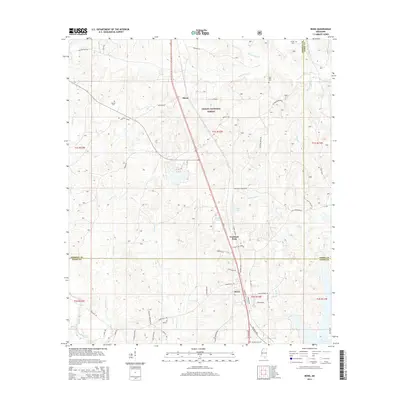
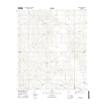
(64)- 2000 Map of Bond, 2002 Print
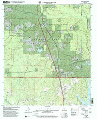 2000 Bond2002 Print · USGSThe piney woods of southern Mississippi are captured here at the start of the millennium, showing a landscape defined by timber and energy. Researchers can locate family landmarks like Batson Cem, the Maxie Lookout Tower, and Fruitland Park.
 - 2000 Map of Carnes, 2002 Print
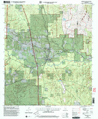
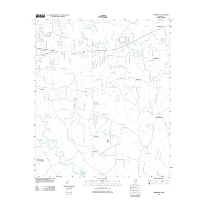
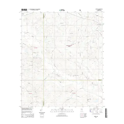
 2000 Carnes2002 Print · USGSForrest and Stone counties appear at the turn of the millennium as a blend of timberland and active energy extraction. Genealogists can locate several remote burial grounds and churches, including Old Sandhill Ch, Eureka Cem, and Fairley Cem.
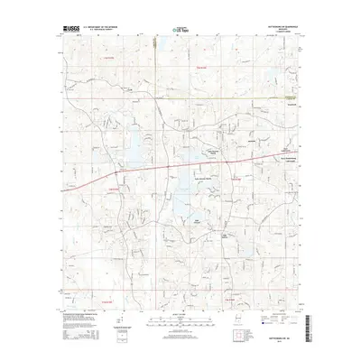
 - 2000 Map of McLaurin, 2003 Print
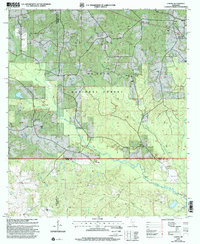
 2000 McLaurin2003 Print · USGSForrest and Perry Counties are shown at the turn of the century, shaped by the massive Camp Shelby military reservation. Researchers can trace rural life and service through landmarks like Morning Star Ch, the McLaurin Landing Field, and McKenzie-Myers Cem.
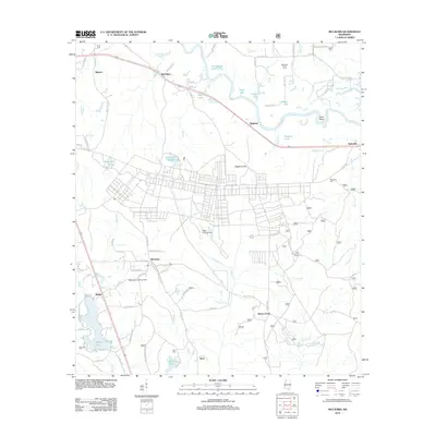
 - 2000 Map of Brooklyn, 2003 Print
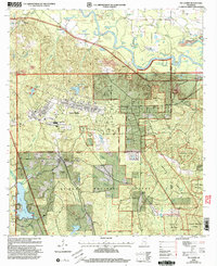
 2000 Brooklyn2003 Print · USGSForrest County at the turn of the twenty-first century is defined by its timber heritage and conservation research within the De Soto National Forest. Genealogists and historians can trace local landmarks like Whites Sch, the Forrest County Agricultural Sch, and several rural cemeteries including Granny Bounds Cem.
 - 2012 Map of Sanford, 2012 Print
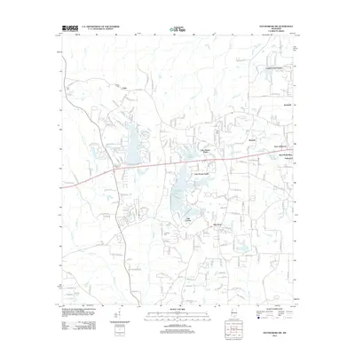
 2012 Sanford2012 Print · USGSCovers Forrest County, including Hattiesburg, Sanford, and other nearby areas
 - 2012 Map of McLaurin, 2012 Print
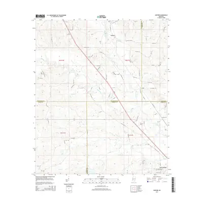
 2012 McLaurin2012 Print · USGSCovers Forrest County, including Hattiesburg, McLaurin, and other nearby areas
 - 2012 Map of Brooklyn, 2012 Print
 2012 Brooklyn2012 Print · USGSCovers Forrest County, including Brooklyn, Currie, and other nearby areas
 - 2012 Map of Rock Hill, 2012 Print
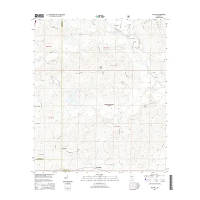
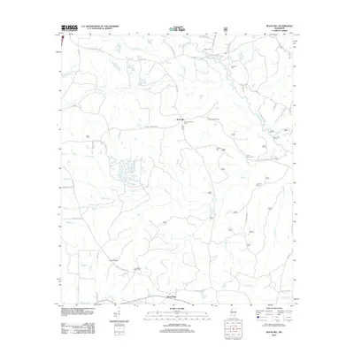 2012 Rock Hill2012 Print · USGSCovers Forrest County, including Rock Hill, Pistol Ridge, and other nearby areas
 - 2012 Map of Carnes, 2012 Print
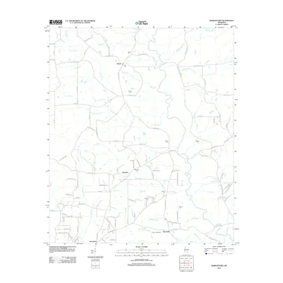
 2012 Carnes2012 Print · USGSCovers Forrest County, including Texas, Carnes, and other nearby areas
 - 2012 Map of Bond, 2012 Print
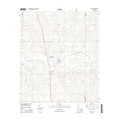
 2012 Bond2012 Print · USGSCovers Forrest County, including Wiggins, Maxie, and other nearby areas
 - 2012 Map of Eastabuchie, 2012 Print
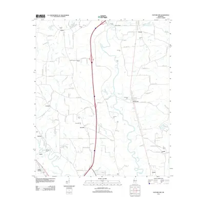 2012 Eastabuchie2012 Print · USGSCovers Forrest County, including Hattiesburg, Petal, and other nearby areas
 - 2012 Map of Carterville, 2012 Print
 2012 Carterville2012 Print · USGSCovers Forrest County, including Hattiesburg, Petal, and other nearby areas
 - 2012 Map of Hattiesburg SW, 2012 Print
 2012 Hattiesburg SW2012 Print · USGSCovers Forrest County, including Hattiesburg, Clyde, and other nearby areas
 - 2012 Map of Hattiesburg, 2012 Print
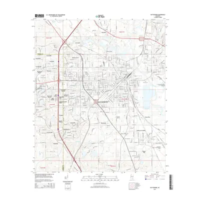
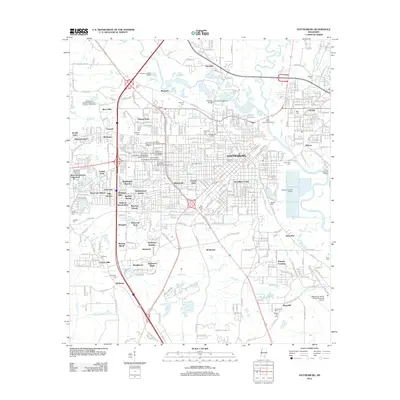 2012 Hattiesburg2012 Print · USGSCovers Forrest County, including Hattiesburg, Petal, and other nearby areas
 - 2012 Map of Dixie, 2012 Print
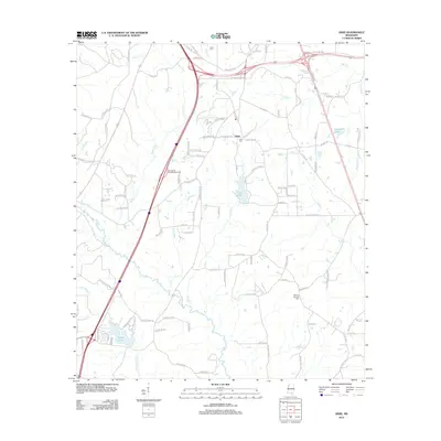 2012 Dixie2012 Print · USGSCovers Forrest County, including Hattiesburg, Purvis, and other nearby areas
 - 2012 Map of Barrontown, 2012 Print
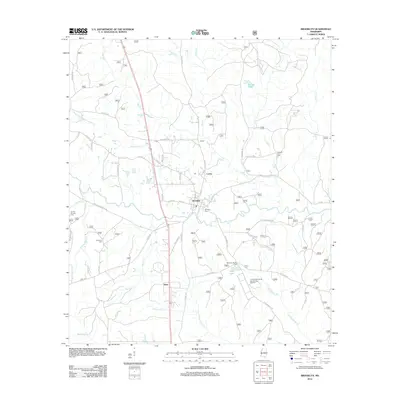
 2012 Barrontown2012 Print · USGSCovers Forrest County, including Petal, Barrontown, and other nearby areas
 - 2015 Map of Rock Hill, 2015 Print
 2015 Rock Hill2015 Print · USGSCovers Forrest County, including Rock Hill, Pistol Ridge, and other nearby areas
 - 2015 Map of Hattiesburg, 2015 Print
 2015 Hattiesburg2015 Print · USGSCovers Forrest County, including Hattiesburg, Petal, and other nearby areas
 - 2015 Map of Bond, 2015 Print
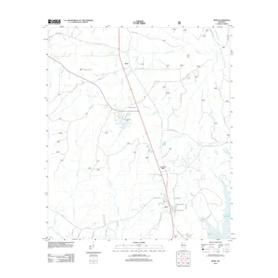
 2015 Bond2015 Print · USGSCovers Forrest County, including Wiggins, Maxie, and other nearby areas
 - 2015 Map of Carterville, 2015 Print
 2015 Carterville2015 Print · USGSCovers Forrest County, including Hattiesburg, Petal, and other nearby areas
 - 2015 Map of Carnes, 2015 Print
 2015 Carnes2015 Print · USGSCovers Forrest County, including Texas, Carnes, and other nearby areas
 - 2015 Map of Barrontown, 2015 Print
 2015 Barrontown2015 Print · USGSCovers Forrest County, including Petal, Barrontown, and other nearby areas
 - 2015 Map of Hattiesburg SW, 2015 Print
 2015 Hattiesburg SW2015 Print · USGSCovers Forrest County, including Hattiesburg, Clyde, and other nearby areas
 - 2015 Map of Sanford, 2015 Print
 2015 Sanford2015 Print · USGSCovers Forrest County, including Hattiesburg, Sanford, and other nearby areas
 - 2015 Map of Brooklyn, 2015 Print
 2015 Brooklyn2015 Print · USGSCovers Forrest County, including Brooklyn, Currie, and other nearby areas
Showing maps 1-25 of 64
Top cities of Forrest County
Frequently asked questions
- What are the different types of historical maps available for Forrest County?
- What is the oldest map of Forrest County?
- Where can I purchase historical maps of Forrest County for my home or office?
- Where can I download high-res historical maps of Forrest County?
- Are there historical topographic maps available for Forrest County?
- Is there historical aerial imagery available for Forrest County?
- Where are historical maps of Forrest County sourced from?