2020s Maps of Forrest County, Mississippi
Explore 24 historic maps of Forrest County from the 2020s. These maps offer a rare glimpse into what life looked like during the 2020s — showing old roads, neighborhoods, homes, and landmarks that have changed or disappeared over time.
Whether you're researching your family's past, planning a metal detecting trip, or studying how Forrest County's landscape evolved across the 2020s, these high-resolution maps are a powerful tool for exploring the history of this region.
- Focus on a specific era: All maps on this page are from the 2020s, giving you a focused view of this time period.
- See what’s changed: Compare century-old streets, trails, and buildings to today's modern landscape using overlays and satellite layers.
- Research with precision: Use these maps for genealogy, historical research, land use analysis, or educational projects.
- View, download, or print: Maps are fully viewable online in high resolution, and can be downloaded or printed for your own records.
Start exploring Forrest County's history through authentic maps from the 2020s. This is your window into the past.
Forrest County, MS maps
(24)- 2020 Map of Eastabuchie, 2020 Print
 2020 Eastabuchie2020 Print · USGSCovers Forrest County, including Hattiesburg, Petal, and other nearby areas
 - 2020 Map of Dixie, 2020 Print
 2020 Dixie2020 Print · USGSCovers Forrest County, including Hattiesburg, Purvis, and other nearby areas
 - 2020 Map of Carterville, 2020 Print
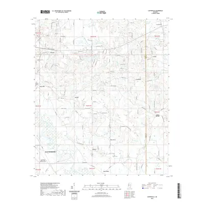 2020 Carterville2020 Print · USGSCovers Forrest County, including Hattiesburg, Petal, and other nearby areas
 - 2020 Map of Hattiesburg SW, 2020 Print
 2020 Hattiesburg SW2020 Print · USGSCovers Forrest County, including Hattiesburg, Clyde, and other nearby areas
 - 2020 Map of Barrontown, 2020 Print
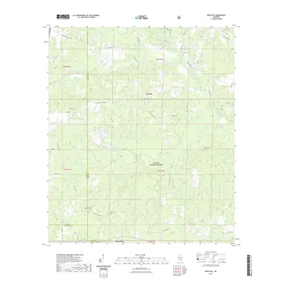
 2020 Barrontown2020 Print · USGSCovers Forrest County, including Petal, Barrontown, and other nearby areas
 - 2020 Map of Hattiesburg, 2020 Print
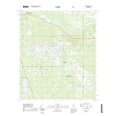
 2020 Hattiesburg2020 Print · USGSCovers Forrest County, including Hattiesburg, Petal, and other nearby areas
 - 2020 Map of Sanford, 2020 Print
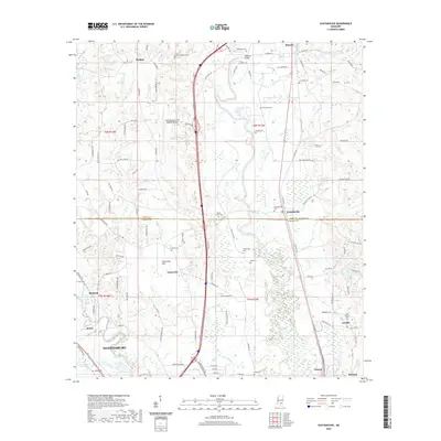
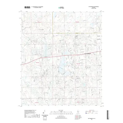
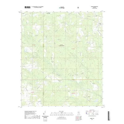
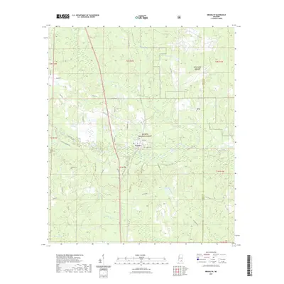
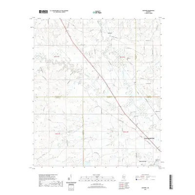 2020 Sanford2020 Print · USGSCovers Forrest County, including Hattiesburg, Sanford, and other nearby areas
 - 2021 Map of Bond, 2021 Print
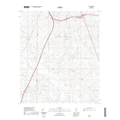
 2021 Bond2021 Print · USGSCovers Forrest County, including Wiggins, Maxie, and other nearby areas
 - 2021 Map of Carnes, 2021 Print
 2021 Carnes2021 Print · USGSCovers Forrest County, including Texas, Carnes, and other nearby areas
 - 2021 Map of Rock Hill, 2021 Print
 2021 Rock Hill2021 Print · USGSCovers Forrest County, including Rock Hill, Pistol Ridge, and other nearby areas
 - 2021 Map of Brooklyn, 2021 Print
 2021 Brooklyn2021 Print · USGSCovers Forrest County, including Brooklyn, Currie, and other nearby areas
 - 2021 Map of McLaurin, 2021 Print
 2021 McLaurin2021 Print · USGSCovers Forrest County, including Hattiesburg, McLaurin, and other nearby areas
 - 2024 Map of Carnes, 2024 Print
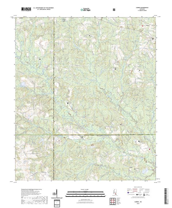 2024 Carnes2024 Print · USGSForrest County and the surrounding Pine Belt are shown here in the 2020s, characterized by the sprawling De Soto National Forest. Genealogists can trace family footprints across numerous burial grounds like Old Sand Hill Cem and Eureka Cem.
 - 2024 Map of Brooklyn, 2024 Print
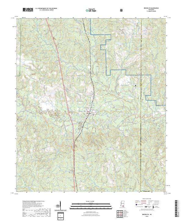 2024 Brooklyn2024 Print · USGSForrest County at the edge of the Pine Belt is shown here as a landscape of timberlands and creek-fed bottomlands. You can trace early local paths along Black Creek or locate historic burial sites such as Pleasant Hill Cem and Granny Bounds Cem.
 - 2024 Map of Eastabuchie, 2024 Print
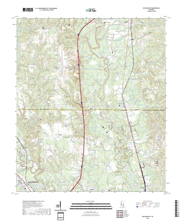 2024 Eastabuchie2024 Print · USGSThe river country north of Hattiesburg comes into focus in this recent survey, capturing the rural character of Jones and Forrest counties. Genealogists and local historians can trace the sites of old river crossings at Johnsons Ferry and family landmarks like Shelton Cem or Quick Cem.
 - 2024 Map of Hattiesburg SW, 2024 Print
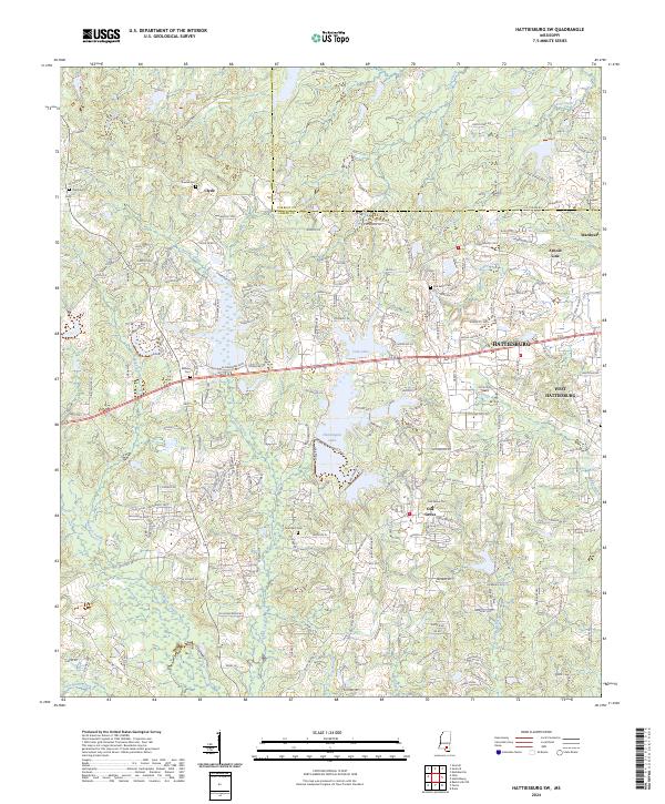 2024 Hattiesburg SW2024 Print · USGSHattiesburg and the surrounding Lamar County communities are captured here in the early twenty-first century as suburban growth meets long-standing rural landmarks. Local researchers can trace family names and early sites at Old Eaton Cem, Clyde, and Oak Grove.
 - 2024 Map of Carterville, 2024 Print
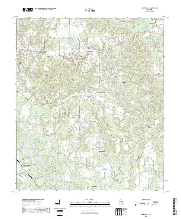 2024 Carterville2024 Print · USGSThe Leaf River valley east of Hattiesburg shows a landscape of growing suburbs and rural crossroads in the early twenty-first century. Researchers can trace family history at Grant Cem and Pine Grove Cem or locate homes near Petal and Indian Springs.
 - 2024 Map of Barrontown, 2024 Print
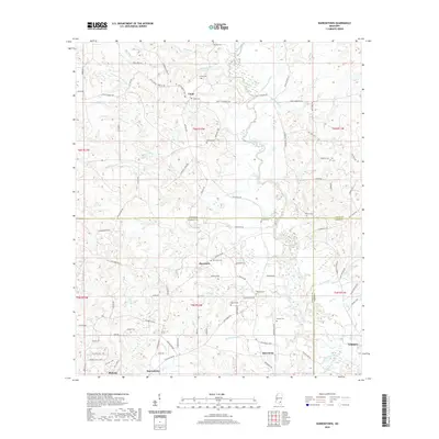
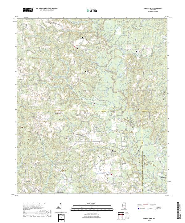 2024 Barrontown2024 Print · USGSThe intersection of Jones, Forrest, and Perry counties comes into focus in this recent survey of south Mississippi. Genealogists can trace family lines across several local burial grounds, including Morriston Cem, Collins Cem, and Barlow Cem near the banks of Tallahala Creek.
 - 2024 Map of Bond, 2024 Print
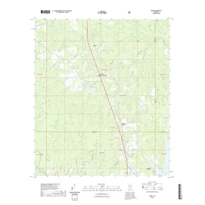
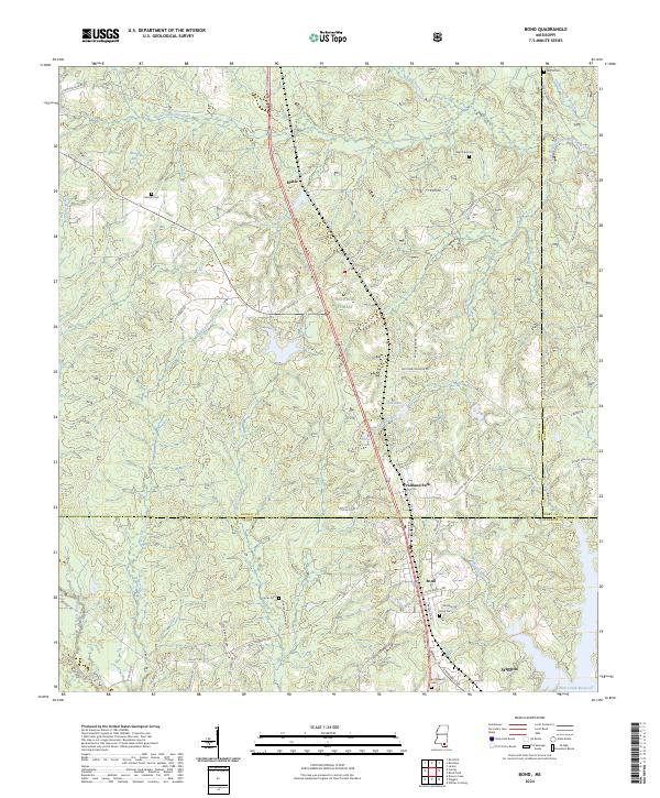 2024 Bond2024 Print · USGSSouthern Mississippi timberlands and the Highway 49 corridor are documented here in the early twenty-first century. Researchers can trace family history through several rural burial sites, including Batson Cem, Carter Cem, and Bo Williams Cem.
 - 2024 Map of Sanford, 2024 Print
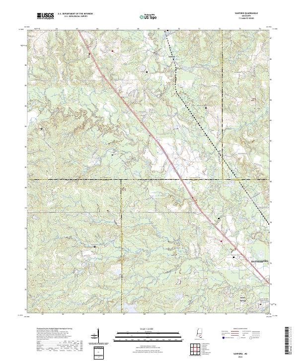 2024 Sanford2024 Print · USGSThe confluence of the Okatoma Creek and Bouie River defines this landscape where four Mississippi counties meet. Local historians can trace ancestral sites like Byrd Cem, Rawls Springs Baptist Church, and the settlement of Sanford.
 - 2024 Map of Hattiesburg, 2024 Print
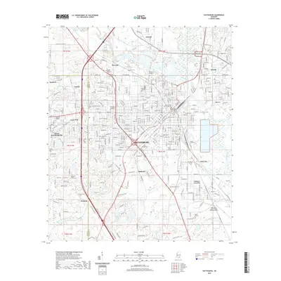
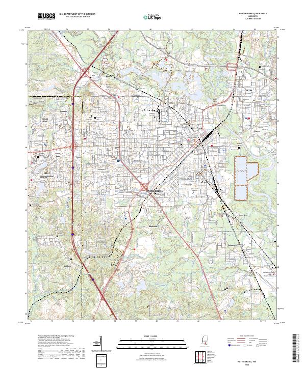 2024 Hattiesburg2024 Print · USGSHattiesburg and Petal sit at the confluence of the Leaf and Bouie Rivers in this recent 2024 survey of the Pine Belt. Trace historic river crossings like Peoples Ferry and legacy sites like the University of Southern Mississippi.
 - 2024 Map of Dixie, 2024 Print
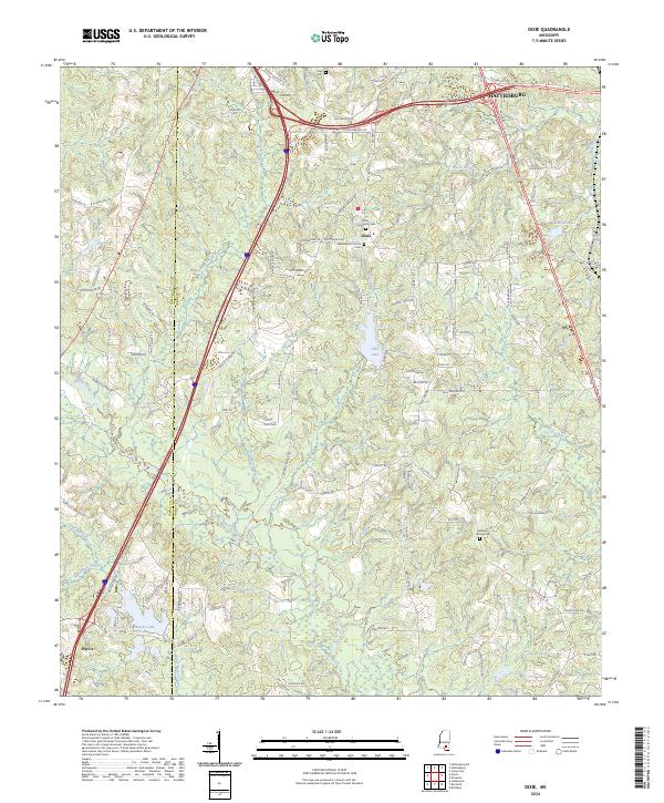 2024 Dixie2024 Print · USGSThe rural southern outskirts of Hattiesburg are captured in this modern survey of Forrest and Lamar counties. Researchers can pinpoint the Dixie Baptist Church and several community burial grounds including Clark Cem and Mineral Springs Cem among the local creek systems.
 - 2024 Map of McLaurin, 2024 Print
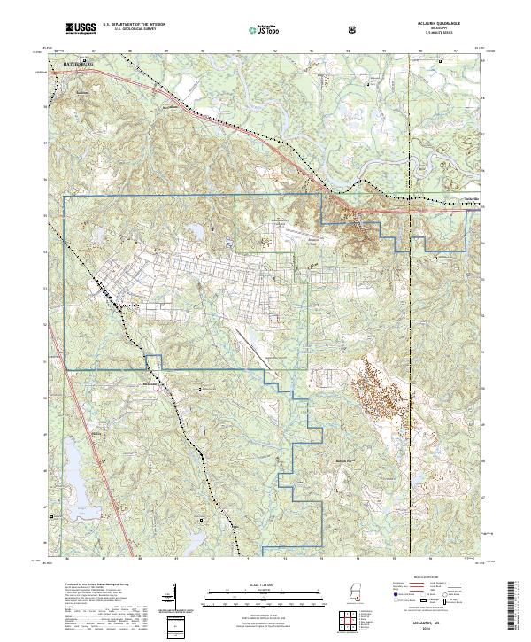 2024 McLaurin2024 Print · USGSForrest County's military and rural landscapes come into focus here during the early twenty-first century. Genealogists and historians can trace numerous family-named burial sites like McKenzie Myers Cem and Epps Cem alongside the training grounds of Camp Shelby.
 - 2024 Map of Rock Hill, 2024 Print
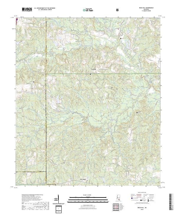 2024 Rock Hill2024 Print · USGSForrest County and the surrounding timberlands are documented in the early 2020s, showing the intersection of three counties within the De Soto National Forest. Genealogists can trace family landmarks and burial sites like Rock Hill Cem, Battson Cem, and Simmons Cem.
End of results
Showing maps 1-24 of 24
Top cities of Forrest County
Frequently asked questions
- What are the different types of historical maps available for Forrest County?
- What is the oldest map of Forrest County?
- Where can I purchase historical maps of Forrest County for my home or office?
- Where can I download high-res historical maps of Forrest County?
- Are there historical topographic maps available for Forrest County?
- Is there historical aerial imagery available for Forrest County?
- Where are historical maps of Forrest County sourced from?