Old Maps of Diamondhead, Mississippi for Academic Research
Study the evolution of Diamondhead with 34 high-resolution historic maps. Whether you're teaching, researching, or modeling changes in land use, these maps provide essential visual documentation of urban, environmental, and geographic change.
- Analyze long-term change: Track patterns in development, transportation, and natural features.
- Ideal for environmental or urban studies: Support academic projects with primary historical map data.
- Use in the classroom or lab: Educators and researchers rely on these maps to bring historical context to life.
These maps are a powerful tool for teaching, research, and visualizing how Diamondhead has changed over the decades.
Diamondhead, MS maps
(34)- 1953 Map of Mobile, 1968 Print
 1953 Mobile1968 Print · USGSThe Gulf Coast comes alive in this mid-century survey, from the streets of Mobile to the marshes of New Orleans. Trace family roots in coastal towns like Pass Christian and Bayou La Batre or locate military landmarks including Keesler AFB.3 unique versions available
 - 1956 Map of Bay St. Louis, 1958 Print
 1956 Bay St. Louis1958 Print · USGSThe Mississippi Gulf Coast is captured here in the mid-fifties, showing the vital rail and road links across St Louis Bay. Researchers can locate family landmarks like the Widow Morin Claim or historic institutions such as St Stanislaus College.5 unique versions available
 - 1956 Map of Vidalia, 1960 Print
 1956 Vidalia1960 Print · USGSCoastal Harrison County and the bayou country come into focus during the mid-fifties as rural settlements like Vidalia and De Lisle remained centered on timber and tide. Genealogists can trace family landmarks like Sand Hill Cem, St Joseph Ch, and St Stephens Sch.5 unique versions available
 - 1956 Map of Waveland, 1960 Print
 1956 Waveland1960 Print · USGSThe Mississippi coast in the mid-fifties reveals a landscape of emerging shoreline communities and intricate bayous. Trace family history and land use through the Waveland townsite, Holy Cross Boys Camp, and the George Mares Claim.5 unique versions available
 - 1957 Map of Mobile
 1957 Mobile1957 Print · USGSThe Gulf Coast in the mid-1950s reveals a bustling corridor of rail-and-river commerce connecting Alabama to Louisiana. Genealogists and historians can trace old settlements and military hubs from Keesler Afb to the coastal reaches of Ship Island and Bogalusa.3 unique versions available
 - 1959 Map of Kiln, 1960 Print
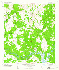 1959 Kiln1960 Print · USGSHancock County's coastal interior is captured here in the late fifties, showing the timberlands and bayous surrounding the settlement of Kiln. Genealogists can trace family landmarks like Catahoula Ch, Little Providence Ch, and the Bayou Coco Cem.4 unique versions available
 - 1960 Map of Mobile
 1960 Mobile1960 Print · USGSThe Gulf Coast at the dawn of the sixties shows a landscape of busy ports, military airbases, and barrier islands. Trace the rail lines of the Louisville & Nashville through BILOXI and Pascagoula or find family history in towns like Bayou La Batre and Poplarville.
 - 1963 Map of Mobile
 1963 Mobile1963 Print · USGSThe Gulf Coast at the dawn of the sixties shows a thriving maritime and military corridor from Louisiana to Alabama. Genealogists and historians can trace rail lines like the Louisville & Nashville RR and find landmarks from Brookley AFB to Fort Morgan.
 - 1965 Map of Mobile
 1965 Mobile1965 Print · USGSThe Gulf Coast at mid-century reveals a landscape of expanding ports and vital military installations from Louisiana to Alabama. Genealogists and historians can trace the growth of Biloxi, Pascagoula, and Mobile, alongside the sprawling De Soto National Forest.
 - 1982 Map of Gulfport, 1983 Print
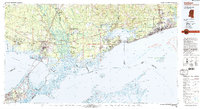 1982 Gulfport1983 Print · USGSThe Gulf Coast between Louisiana and Mississippi appears in the early eighties as a landscape of marshland and maritime industry. Researchers can trace the path of the Louisville and Nashville RR through towns like Waveland and De Lisle, or locate the sprawling National Space Technology Laboratories.2 unique versions available
 - 1984 Map of Mobile
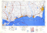 1984 Mobile1984 Print · USGSThe Gulf Coast at the height of the mid-eighties shows a landscape of rapid industrial growth and military significance. Researchers can trace the sprawling rail lines of the Illinois Central Gulf RR, locate the NASA Test Facility, or study the barrier island chain from Cat Island to Petit Bois Island.3 unique versions available
 - 1993 Map of Bay St. Louis, 1995 Print
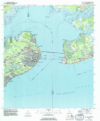 1993 Bay St. Louis1995 Print · USGSThe Mississippi Gulf Coast is captured here in the early nineties, showing the developed waterfronts of Bay St Louis and Pass Christian. Genealogists can trace local landmarks like St Stanislaus College, Trinity Ch, and the Garden Of Memory Cemetery.
 - 1997 Map of Waveland, 1999 Print
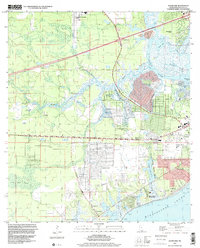 1997 Waveland1999 Print · USGSMississippi's Gulf Coast is shown at the end of the century as residential communities grew alongside intricate tidal bayous. Researchers can trace land grants like the George Mares Claim or locate Holy Cross Boys Camp and Clermont Harbor.
 - 1997 Map of Dedeaux, 2000 Print
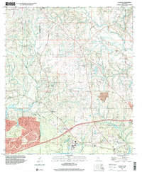 1997 Dedeaux2000 Print · USGSHarrison and Hancock Counties come together at the turn of the millennium in this detailed view of the coastal bayous and river systems. Researchers can trace rural lineages through the locations of St Joseph Cem, Little Bethel Ch, and the old settlement of Dedeaux.
 - 2012 Map of Dedeaux, 2012 Print
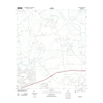 2012 Dedeaux2012 Print · USGSCoastal Mississippi and the growing community of Diamondhead are captured here in the early twenty-first century. Genealogists and local historians can trace the roads around Dedeaux, find Saint Joseph Cem, and explore the wetlands of Rotten Bayou.
 - 2012 Map of Bay Saint Louis, 2012 Print
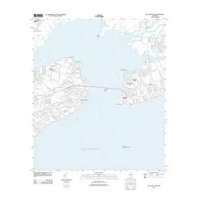 2012 Bay Saint Louis2012 Print · USGSThe Mississippi Gulf Coast is captured here in the early 2010s, showcasing the intricate shoreline of Saint Louis Bay. Researchers can trace the waterfront developments of Bay Saint Louis, locate the Garden of Memory Cem, and explore the winding paths of the Wolf River.
 - 2012 Map of Waveland, 2012 Print
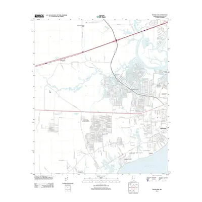 2012 Waveland2012 Print · USGSThe Mississippi Gulf Coast near Waveland is captured here during a period of modern coastal development and infrastructure expansion. Researchers can trace the layout of residential grids in Shoreline Park and locate historical landmarks like the Holy Cross Boys Camp or the Bay Marina Recreational Vehicle Park.
 - 2012 Map of Kiln, 2012 Print
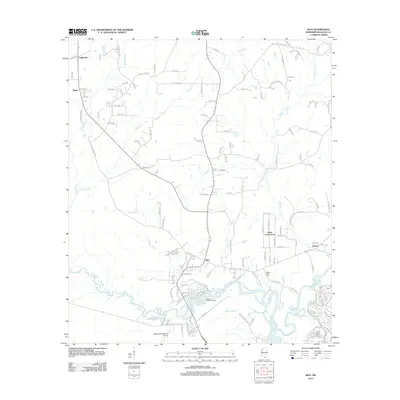 2012 Kiln2012 Print · USGSHancock County's coastal lowlands are captured here in the early twenty-first century, showing the rural communities north of the Mississippi Sound. Genealogists and local historians can trace family roots at Bayou Coco Cem or explore the settlements of Kiln and Catahoula.
 - 2015 Map of Kiln, 2015 Print
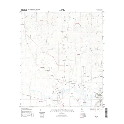 2015 Kiln2015 Print · USGSHancock County's inland waterways and growing aviation sector are captured here in the mid-2010s. Researchers can trace family sites from Catahoula down to Diamondhead, or locate rural landmarks like Bayou Coco Cem and Stennis International Airport.
 - 2015 Map of Waveland, 2015 Print
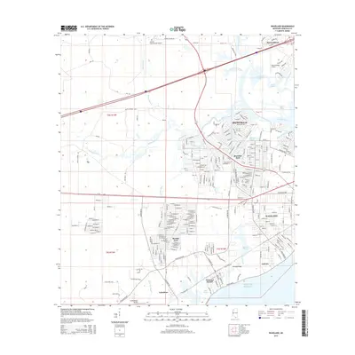 2015 Waveland2015 Print · USGSCoastal Mississippi in the mid-2010s reveals a landscape of growing suburban communities and intricate bayous. Researchers can trace the development of Waveland and Diamondhead, while identifying local landmarks like Jackson Ridge and Clermont Harbor.
 - 2015 Map of Dedeaux, 2015 Print
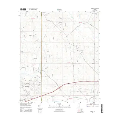 2015 Dedeaux2015 Print · USGSCoastal Mississippi's rural reaches and developing communities are caught in detail here during the mid-2010s. Researchers can trace family history at Sand Hill Cem or navigate the waterways of Rotten Bayou and the Wolf River near the settlement of Dedeaux.
 - 2015 Map of Bay Saint Louis, 2015 Print
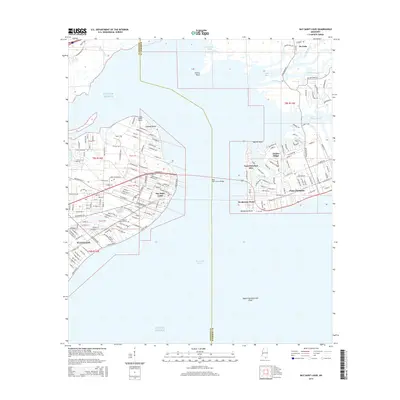 2015 Bay Saint Louis2015 Print · USGSThe Mississippi Gulf Coast is captured here in the mid-2010s, showcasing the intricate waterfront developments between Bay Saint Louis and Pass Christian. Genealogists and local historians can trace street-level details near Garden of Memory Cem and the landings along the Wolf River.
 - 2018 Map of Kiln, 2018 Print
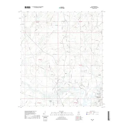 2018 Kiln2018 Print · USGSHancock County’s coastal landscape and rural interior are captured here in the late twenty-teens, showing the growth of Diamondhead and Kiln. Researchers can locate Bayou Coco Cem, trace the winding Jourdan River, and see the layout of Stennis International Airport.
 - 2018 Map of Bay Saint Louis, 2018 Print
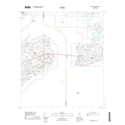 2018 Bay Saint Louis2018 Print · USGSCoastal Hancock and Harrison Counties are shown here during a period of modern growth and maritime activity. Researchers can trace street-level details in Bay St. Louis, identify local landmarks like Saint Stanislaus College, or explore the shoreline of Saint Louis Bay.
 - 2018 Map of Dedeaux, 2018 Print
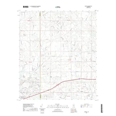 2018 Dedeaux2018 Print · USGSThe Mississippi Gulf Coast hinterland near the Hancock Co Harrison Co line shows a mix of suburban growth and rural roots. Researchers can trace family history at Saint Joseph Cem or explore the development of Diamondhead and the Wolf River basin.
Showing maps 1-25 of 34
Top cities near Diamondhead
- Long Beach historical maps
- Bay Saint Louis historical maps
- Waveland historical maps
- Pass Christian historical maps
Frequently asked questions
- What are the different types of historical maps available for Diamondhead?
- What is the oldest map of Diamondhead?
- Where can I purchase historical maps of Diamondhead for my home or office?
- Where can I download high-res historical maps of Diamondhead?
- Are there historical topographic maps available for Diamondhead?
- Is there historical aerial imagery available for Diamondhead?
- Where are historical maps of Diamondhead sourced from?