Old Maps of Long Beach, Mississippi for Hiking & Exploration
Hike through history with 28 historic maps of Long Beach. Explore old trails, ghost towns, and forgotten backroads — perfect for outdoor adventurers and local explorers.
- Rediscover forgotten places: Map out old mining camps, roads, and footpaths that no longer exist on modern maps.
- Layer with modern tools: Combine with LiDAR or satellite views to plan hikes through historical terrain.
- Made for exploration: Popular among hikers, overlanders, and local history lovers.
Use these maps to find adventure and explore the hidden past of Long Beach.
Long Beach, MS maps
(28)- 1953 Map of Mobile, 1968 Print
 1953 Mobile1968 Print · USGSThe Gulf Coast comes alive in this mid-century survey, from the streets of Mobile to the marshes of New Orleans. Trace family roots in coastal towns like Pass Christian and Bayou La Batre or locate military landmarks including Keesler AFB.3 unique versions available
 - 1954 Map of Gulfport South, 1958 Print
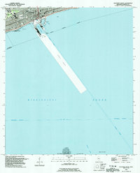
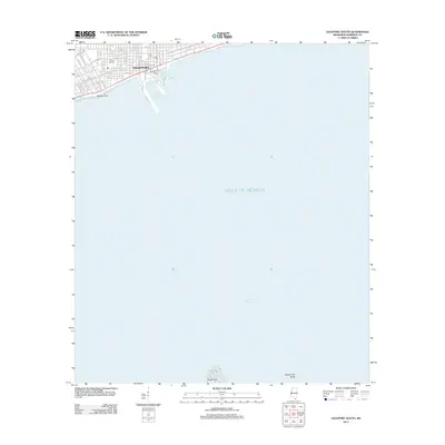
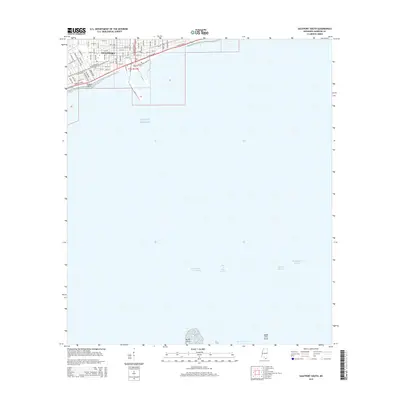
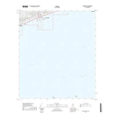
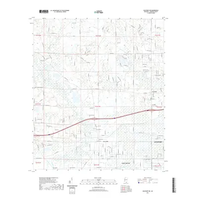
 1954 Gulfport South1958 Print · USGSGulfport and its deep-water harbor are captured here in the mid-fifties, showing a coastal economy built on rail and sea. Trace the shipping lanes of the Gulfport Channel or locate landmarks like Gaston Point and the U S Naval Reservation.4 unique versions available
 - 1955 Map of Pass Christian, 1958 Print
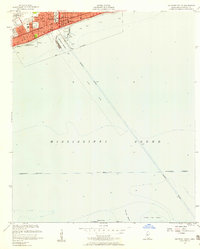
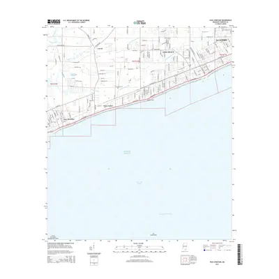
 1955 Pass Christian1958 Print · USGSThe Mississippi coast in the mid-fifties reveals a landscape of historic land grants and growing shorefront communities. Genealogists can locate family names on the Alexander Dimitry Claim or trace local landmarks like Gulf Park College and Courtenay Cem.6 unique versions available
 - 1956 Map of Gulfport NW, 1960 Print
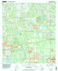
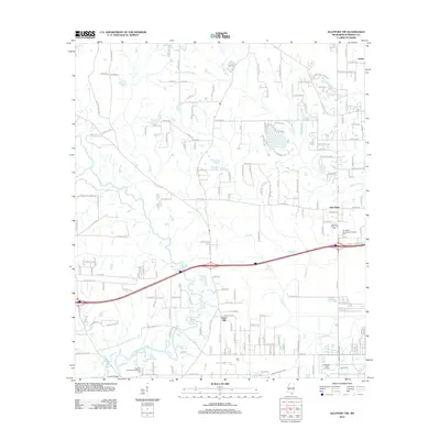
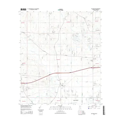
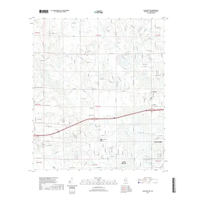
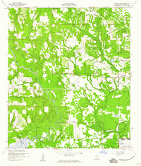 1956 Gulfport NW1960 Print · USGSHarrison County's coastal hinterlands are captured here in the mid-fifties, showing a landscape of river bends and early naval infrastructure. Genealogists and local historians can locate the Alexander Dimitry Claim, Allen Cem, and the old settlement at Jones Mill.5 unique versions available
 - 1957 Map of Mobile
 1957 Mobile1957 Print · USGSThe Gulf Coast in the mid-1950s reveals a bustling corridor of rail-and-river commerce connecting Alabama to Louisiana. Genealogists and historians can trace old settlements and military hubs from Keesler Afb to the coastal reaches of Ship Island and Bogalusa.3 unique versions available
 - 1960 Map of Mobile
 1960 Mobile1960 Print · USGSThe Gulf Coast at the dawn of the sixties shows a landscape of busy ports, military airbases, and barrier islands. Trace the rail lines of the Louisville & Nashville through BILOXI and Pascagoula or find family history in towns like Bayou La Batre and Poplarville.
 - 1963 Map of Mobile
 1963 Mobile1963 Print · USGSThe Gulf Coast at the dawn of the sixties shows a thriving maritime and military corridor from Louisiana to Alabama. Genealogists and historians can trace rail lines like the Louisville & Nashville RR and find landmarks from Brookley AFB to Fort Morgan.
 - 1965 Map of Mobile
 1965 Mobile1965 Print · USGSThe Gulf Coast at mid-century reveals a landscape of expanding ports and vital military installations from Louisiana to Alabama. Genealogists and historians can trace the growth of Biloxi, Pascagoula, and Mobile, alongside the sprawling De Soto National Forest.
 - 1982 Map of Gulfport, 1983 Print
 1982 Gulfport1983 Print · USGSThe Gulf Coast between Louisiana and Mississippi appears in the early eighties as a landscape of marshland and maritime industry. Researchers can trace the path of the Louisville and Nashville RR through towns like Waveland and De Lisle, or locate the sprawling National Space Technology Laboratories.2 unique versions available
 - 1984 Map of Mobile
 1984 Mobile1984 Print · USGSThe Gulf Coast at the height of the mid-eighties shows a landscape of rapid industrial growth and military significance. Researchers can trace the sprawling rail lines of the Illinois Central Gulf RR, locate the NASA Test Facility, or study the barrier island chain from Cat Island to Petit Bois Island.3 unique versions available
 - 1994 Map of Gulfport South, 1995 Print
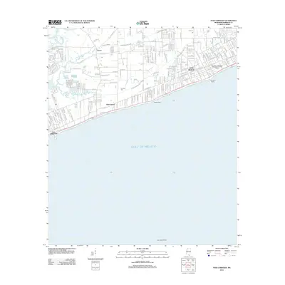
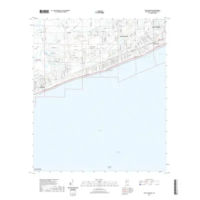
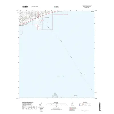
 1994 Gulfport South1995 Print · USGSThe Mississippi coastline and its maritime infrastructure are the focus of this mid-nineties survey of the Gulfport waterfront. Genealogists and historians can trace local landmarks like St Johns Ch, Gaston Point Sch, and Jones Memorial Park.
 - 1994 Map of Pass Christian, 1995 Print
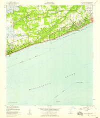
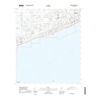
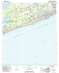 1994 Pass Christian1995 Print · USGSThe Mississippi coast in the early nineties shows the dense growth of Pass Christian and Long Beach. Genealogists and historians can trace institutional landmarks like the U S Naval Reservation and Courtenay Cem.
 - 1997 Map of Gulfport NW, 2000 Print
 1997 Gulfport NW2000 Print · USGSHarrison County in the late nineties shows the inland growth north of the coast as suburban tracts met older rural landmarks. Trace local genealogy and land history through Jones Mill, Monroe Memorial Park, and the Alexander Dimitry Claim.
 - 2012 Map of Gulfport South, 2012 Print
 2012 Gulfport South2012 Print · USGSCovers Long Beach, including Gulfport, Harrison County, and other nearby areas
 - 2012 Map of Pass Christian, 2012 Print
 2012 Pass Christian2012 Print · USGSCovers Long Beach, including Gulfport, Pass Christian, and other nearby areas
 - 2012 Map of Gulfport NW, 2012 Print
 2012 Gulfport NW2012 Print · USGSCovers Long Beach, including Gulfport, New Hope, and other nearby areas
 - 2015 Map of Gulfport NW, 2015 Print
 2015 Gulfport NW2015 Print · USGSCovers Long Beach, including Gulfport, New Hope, and other nearby areas
 - 2015 Map of Pass Christian, 2015 Print
 2015 Pass Christian2015 Print · USGSCovers Long Beach, including Gulfport, Pass Christian, and other nearby areas
 - 2015 Map of Gulfport South, 2015 Print
 2015 Gulfport South2015 Print · USGSCovers Long Beach, including Gulfport, Harrison County, and other nearby areas
 - 2018 Map of Gulfport NW, 2018 Print
 2018 Gulfport NW2018 Print · USGSCovers Long Beach, including Gulfport, New Hope, and other nearby areas
 - 2018 Map of Pass Christian, 2018 Print
 2018 Pass Christian2018 Print · USGSCovers Long Beach, including Gulfport, Pass Christian, and other nearby areas
 - 2018 Map of Gulfport South, 2018 Print
 2018 Gulfport South2018 Print · USGSCovers Long Beach, including Gulfport, Harrison County, and other nearby areas
 - 2020 Map of Pass Christian, 2020 Print
 2020 Pass Christian2020 Print · USGSCovers Long Beach, including Gulfport, Pass Christian, and other nearby areas
 - 2021 Map of Gulfport NW, 2021 Print
 2021 Gulfport NW2021 Print · USGSCovers Long Beach, including Gulfport, New Hope, and other nearby areas
 - 2021 Map of Gulfport South, 2021 Print
 2021 Gulfport South2021 Print · USGSCovers Long Beach, including Gulfport, Harrison County, and other nearby areas
Showing maps 1-25 of 28
Top cities near Long Beach
- Gulfport historical maps
- Biloxi historical maps
- Diamondhead historical maps
- Bay Saint Louis historical maps
- Waveland historical maps
- Pass Christian historical maps
Top neighborhoods of Long Beach
Frequently asked questions
- What are the different types of historical maps available for Long Beach?
- What is the oldest map of Long Beach?
- Where can I purchase historical maps of Long Beach for my home or office?
- Where can I download high-res historical maps of Long Beach?
- Are there historical topographic maps available for Long Beach?
- Is there historical aerial imagery available for Long Beach?
- Where are historical maps of Long Beach sourced from?