Old Maps of Tremont, Mississippi for Genealogy
Trace your family roots with 29 historic maps of Tremont. These high-res maps reveal old neighborhoods, homesites, landmarks, and streets — helping you uncover where your ancestors lived and how the area evolved over time.
- Explore historic neighborhoods: Identify where your relatives may have lived in the 1800s or 1900s.
- Compare maps over time: Trace the changes in streets, buildings, and landmarks for multi-generational research.
- Perfect for genealogy & ancestry research: Used by family historians and researchers to map out lineage and migration.
These maps are an incredible resource for exploring your personal connection to Tremont's past.
Tremont, MS maps
(29)- 1956 Map of Tupelo, 1967 Print
 1956 Tupelo1967 Print · USGSNortheast Mississippi and parts of Tennessee and Alabama are shown here during the mid-fifties, a time of major reservoir construction and forestry management. Researchers can trace the St Louis-San Francisco RR through Tupelo or locate historic sites like Tishomingo State Park and the University.2 unique versions available
 - 1958 Map of Tupelo
 1958 Tupelo1958 Print · USGSNortheast Mississippi and neighboring Alabama and Tennessee appear here during the late fifties as a region defined by new reservoirs and historic rail lines. Genealogists can trace family locations near Sardis Lake, Woodall Mountain, and the St Louis-San Francisco Ry.
 - 1965 Map of Fulton SE, 1966 Print
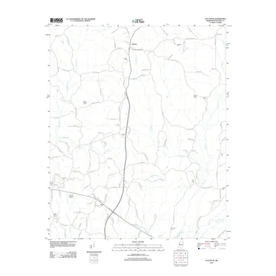
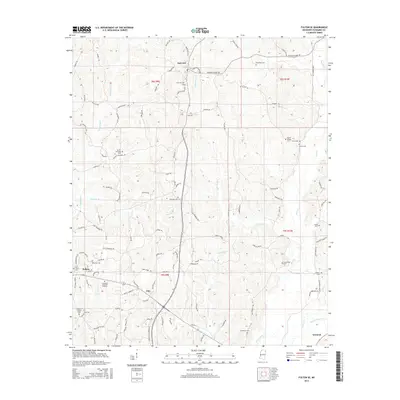
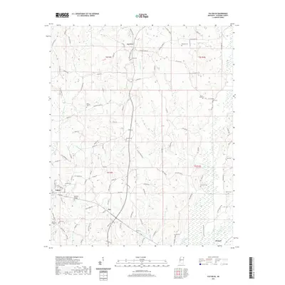
 1965 Fulton SE1966 Print · USGSItawamba County in the mid-sixties is a landscape of winding creek valleys and high ridge lookouts. Researchers can find numerous country churches and cemeteries, from New Temple Ch to Palmetto Cem, and trace the rural roads around Fairview.2 unique versions available
 - 1966 Map of Tremont, 1967 Print
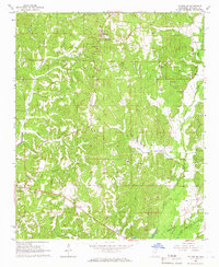
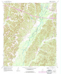
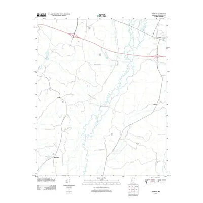
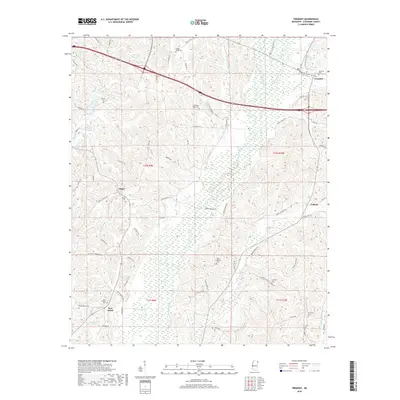
 1966 Tremont1967 Print · USGSItawamba County in the mid-1960s reveals a landscape of winding creeks and rural crossroads on the Mississippi-Alabama line. Genealogists and historians can trace family locations near Tremont or find old burial grounds like Clover Ridge Cem and Maxey Cem.2 unique versions available
 - 1967 Map of Shottsville, 1968 Print
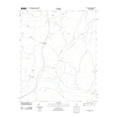
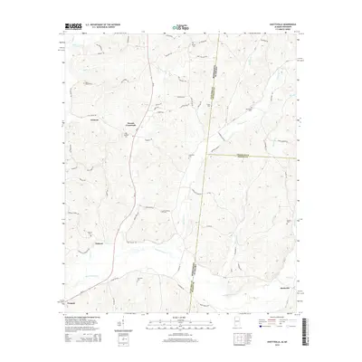
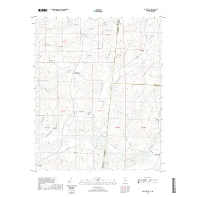
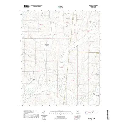
 1967 Shottsville1968 Print · USGSThe Mississippi-Alabama borderlands come into focus in the late sixties, showing a landscape defined by small crossroads and family legacies. Researchers can trace the heritage of Shottsville and Bounds Crossroads or locate Spearman Cem and Pearly Gates Ch.
 - 1967 Map of Bexar, 1968 Print
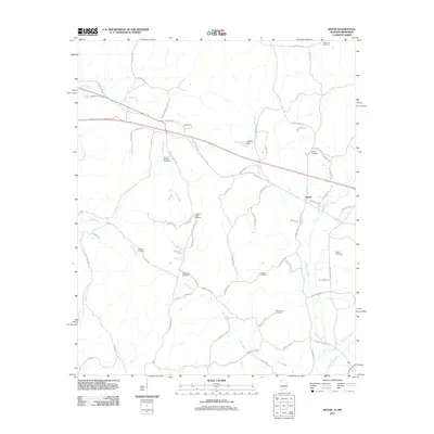
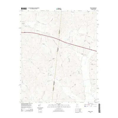
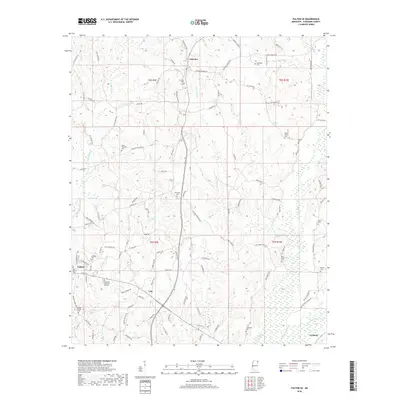
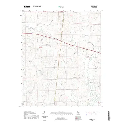
 1967 Bexar1968 Print · USGSThe Alabama and Mississippi state line divides this quiet landscape of the late sixties, where small rural communities are anchored by local schools and churches. Genealogy researchers can find family sites like the Wigginton Cem and Ada Hanna High Sch.
 - 1984 Map of Tupelo
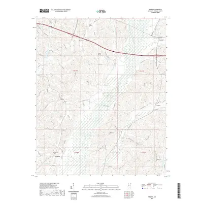
 1984 Tupelo1984 Print · USGSNorth Mississippi in the 1980s is defined by its massive river basin reservoirs and the growing regional hubs of Tupelo and Oxford. Researchers can trace the legacy of the Pontotoc Ridge, find the University of Mississippi, and map early Interstate corridors near Sardis Lake.3 unique versions available
 - 1984 Map of Tupelo, 1985 Print
 1984 Tupelo1985 Print · USGSNortheast Mississippi and the Alabama borderlands are shown in the mid-1980s as timber and river networks shaped the region. Trace local history through the Illinois Central Gulf rail line and sites like the Old Natchez Trace Parkway.
 - 1992 Map of Tremont, 1995 Print
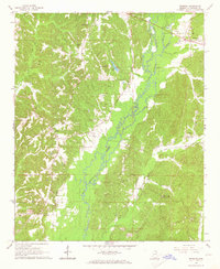
 1992 Tremont1995 Print · USGSEastern Itawamba County is documented here in the early nineties, showing a landscape defined by Bull Mountain Creek and the town of Tremont. Genealogists can locate family landmarks like Maxey Cem and old settlements such as Tilden and New Salem.
 - 2011 Map of Shottsville, 2011 Print
 2011 Shottsville2011 Print · USGSCovers Tremont, including Oakland, Bounds Crossroads, and other nearby areas
 - 2011 Map of Bexar, 2011 Print
 2011 Bexar2011 Print · USGSCovers Tremont, including Bexar, Marion County, and other nearby areas
 - 2012 Map of Fulton SE, 2012 Print
 2012 Fulton SE2012 Print · USGSCovers Tremont, including Fulton, Clay, and other nearby areas
 - 2012 Map of Tremont, 2012 Print
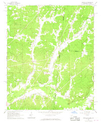
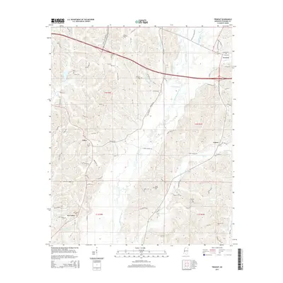
 2012 Tremont2012 Print · USGSCovers Tremont, including New Salem, Tilden, and other nearby areas
 - 2014 Map of Bexar, 2014 Print
 2014 Bexar2014 Print · USGSCovers Tremont, including Bexar, Marion County, and other nearby areas
 - 2014 Map of Shottsville, 2014 Print
 2014 Shottsville2014 Print · USGSCovers Tremont, including Oakland, Bounds Crossroads, and other nearby areas
 - 2015 Map of Fulton SE, 2015 Print
 2015 Fulton SE2015 Print · USGSCovers Tremont, including Fulton, Clay, and other nearby areas
 - 2015 Map of Tremont, 2015 Print
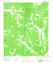
 2015 Tremont2015 Print · USGSCovers Tremont, including New Salem, Tilden, and other nearby areas
 - 2018 Map of Bexar, 2018 Print
 2018 Bexar2018 Print · USGSCovers Tremont, including Bexar, Marion County, and other nearby areas
 - 2018 Map of Shottsville, 2018 Print
 2018 Shottsville2018 Print · USGSCovers Tremont, including Oakland, Bounds Crossroads, and other nearby areas
 - 2018 Map of Tremont, 2018 Print
 2018 Tremont2018 Print · USGSCovers Tremont, including New Salem, Tilden, and other nearby areas
 - 2018 Map of Fulton SE, 2018 Print
 2018 Fulton SE2018 Print · USGSCovers Tremont, including Fulton, Clay, and other nearby areas
 - 2020 Map of Bexar, 2020 Print
 2020 Bexar2020 Print · USGSCovers Tremont, including Bexar, Marion County, and other nearby areas
 - 2020 Map of Shottsville, 2020 Print
 2020 Shottsville2020 Print · USGSCovers Tremont, including Oakland, Bounds Crossroads, and other nearby areas
 - 2021 Map of Fulton SE, 2021 Print
 2021 Fulton SE2021 Print · USGSCovers Tremont, including Fulton, Clay, and other nearby areas
 - 2021 Map of Tremont, 2021 Print
 2021 Tremont2021 Print · USGSCovers Tremont, including New Salem, Tilden, and other nearby areas
Showing maps 1-25 of 29
Top cities near Tremont
- Amory historical maps
- Hamilton historical maps
- Fulton historical maps
- Red Bay historical maps
- Smithville historical maps
- Vina historical maps
See more
Frequently asked questions
- What are the different types of historical maps available for Tremont?
- What is the oldest map of Tremont?
- Where can I purchase historical maps of Tremont for my home or office?
- Where can I download high-res historical maps of Tremont?
- Are there historical topographic maps available for Tremont?
- Is there historical aerial imagery available for Tremont?
- Where are historical maps of Tremont sourced from?