Old Maps of Union Church, Mississippi for Hiking & Exploration
Hike through history with 12 historic maps of Union Church. Explore old trails, ghost towns, and forgotten backroads — perfect for outdoor adventurers and local explorers.
- Rediscover forgotten places: Map out old mining camps, roads, and footpaths that no longer exist on modern maps.
- Layer with modern tools: Combine with LiDAR or satellite views to plan hikes through historical terrain.
- Made for exploration: Popular among hikers, overlanders, and local history lovers.
Use these maps to find adventure and explore the hidden past of Union Church.
Union Church, MS maps
(12)- 1953 Map of Natchez, 1966 Print
 1953 Natchez1966 Print · USGSSouthwest Mississippi and the Louisiana border country come alive in this mid-century survey of the river valley and forest lands. Researchers can trace the rail lines of the Illinois Central RR and locate rural hubs like Gloster and Ferriday.3 unique versions available
 - 1956 Map of Natchez
 1956 Natchez1956 Print · USGSThe Mississippi River borderlands and the Pine Hills come alive in this mid-fifties study of the Natchez region. Genealogists and historians can trace rail-era towns along the Illinois Central RR and explore the oxbows of Lake Bruin and Lake Concordia.
 - 1959 Map of Natchez
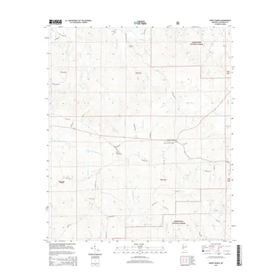
 1959 Natchez1959 Print · USGSSouthwestern Mississippi and eastern Louisiana are captured in the late fifties, showing a landscape defined by the winding Mississippi River and the timbered Homochitto National Forest. Researchers can trace the sprawling Illinois Central RR and find rural landmarks like Union Church and Camp Van Dorn (Abandoned).
 - 1963 Map of Union Church, 1964 Print
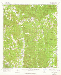 1963 Union Church1964 Print · USGSSouthwest Mississippi in the early sixties was defined by the timbered stretches of the Homochitto National Forest and the Mississippi Central railroad. Researchers can trace rural lineages through numerous small settlements and family burial sites like Union Church, Perth, and the Singletary Cem.2 unique versions available
 - 1984 Map of Brookhaven
 1984 Brookhaven1984 Print · USGSSouth-central Mississippi's rural character and rail-centered commerce are shown here in the mid-eighties, from the Homochitto woods to the Pearl River. Trace local roots through Union Church, Meadows Store, and the campus of Copiah-Lincoln Jr College.2 unique versions available
 - 1988 Map of Union Church
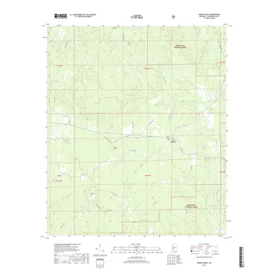
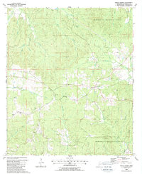 1988 Union Church1988 Print · USGSJefferson County was transitioning into the late twentieth century as timber and energy resources shaped these forestlands. Genealogists can trace family roots through sites like Hickory Block Cem, Bell Hill Ch, and the small settlement of Perth.
 - 2000 Map of Union Church, 2002 Print
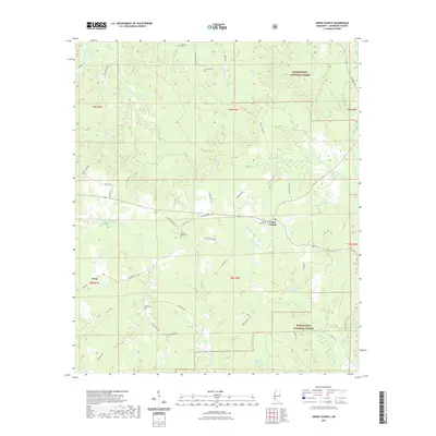
 2000 Union Church2002 Print · USGSJefferson County at the turn of the millennium shows a landscape defined by the Homochitto National Forest and the Middle Fork Homochitto River. Researchers can trace old family sites and rural landmarks like Hickory Block Ch, Perth, and Singletary Cem.
 - 2012 Map of Union Church, 2012 Print
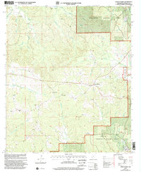
 2012 Union Church2012 Print · USGSCovers Union Church, including Perth, Jefferson County, and other nearby areas
 - 2015 Map of Union Church, 2015 Print
 2015 Union Church2015 Print · USGSCovers Union Church, including Perth, Jefferson County, and other nearby areas
 - 2018 Map of Union Church, 2018 Print
 2018 Union Church2018 Print · USGSCovers Union Church, including Perth, Jefferson County, and other nearby areas
 - 2021 Map of Union Church, 2021 Print
 2021 Union Church2021 Print · USGSCovers Union Church, including Perth, Jefferson County, and other nearby areas
 - 2024 Map of Union Church, 2024 Print
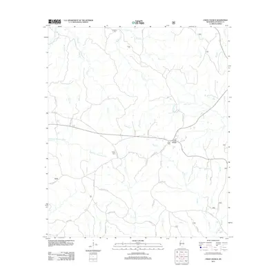
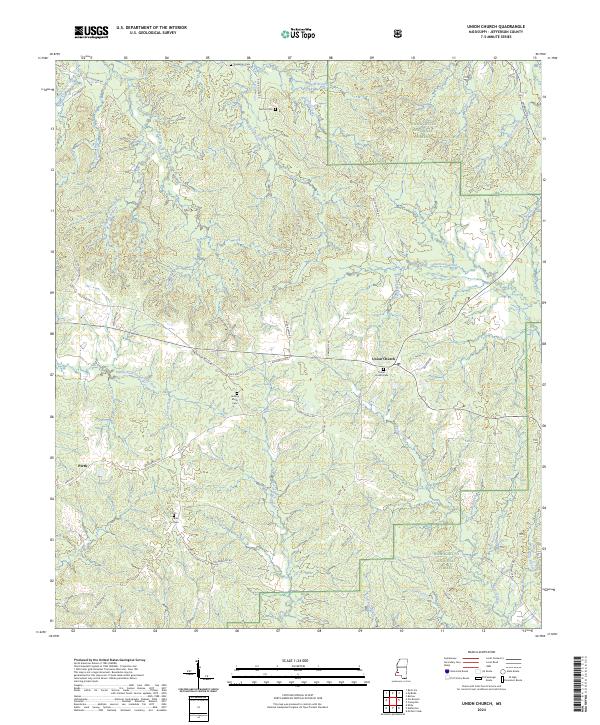 2024 Union Church2024 Print · USGSJefferson County in the 2020s remains a landscape of quiet communities and timberland along the Middle Fork Homochitto River. Genealogists can trace family footprints through several local landmarks like Union Church Cem, Buie Cem, and the old settlement of Perth.
End of results
Showing maps 1-12 of 12
Top cities near Union Church
Frequently asked questions
- What are the different types of historical maps available for Union Church?
- What is the oldest map of Union Church?
- Where can I purchase historical maps of Union Church for my home or office?
- Where can I download high-res historical maps of Union Church?
- Are there historical topographic maps available for Union Church?
- Is there historical aerial imagery available for Union Church?
- Where are historical maps of Union Church sourced from?