2020s Maps of Leake County, Mississippi
Explore 32 historic maps of Leake County from the 2020s. These maps offer a rare glimpse into what life looked like during the 2020s — showing old roads, neighborhoods, homes, and landmarks that have changed or disappeared over time.
Whether you're researching your family's past, planning a metal detecting trip, or studying how Leake County's landscape evolved across the 2020s, these high-resolution maps are a powerful tool for exploring the history of this region.
- Focus on a specific era: All maps on this page are from the 2020s, giving you a focused view of this time period.
- See what’s changed: Compare century-old streets, trails, and buildings to today's modern landscape using overlays and satellite layers.
- Research with precision: Use these maps for genealogy, historical research, land use analysis, or educational projects.
- View, download, or print: Maps are fully viewable online in high resolution, and can be downloaded or printed for your own records.
Start exploring Leake County's history through authentic maps from the 2020s. This is your window into the past.
Leake County, MS maps
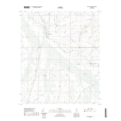
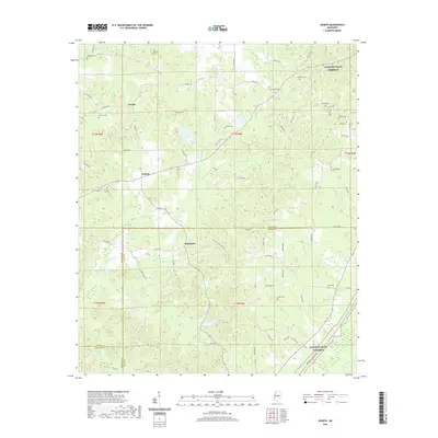
(32)- 2020 Map of Singleton, 2020 Print
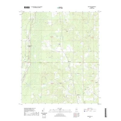 2020 Singleton2020 Print · USGSCovers Leake County, including Nile, Singleton, and other nearby areas
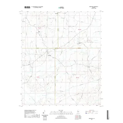
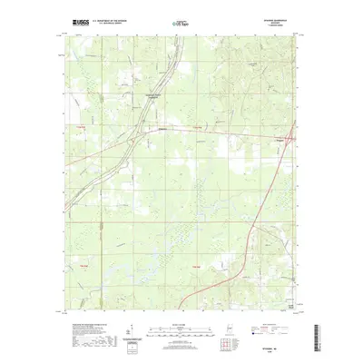
 - 2020 Map of Zama, 2020 Print
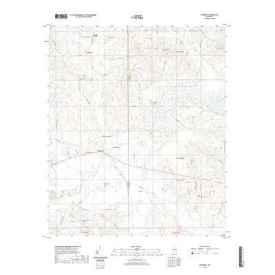
 2020 Zama2020 Print · USGSCovers Leake County, including Gray, Center, and other nearby areas
 - 2020 Map of Edinburg, 2020 Print
 2020 Edinburg2020 Print · USGSCovers Leake County, including Pearl River, Ebenezer, and other nearby areas
 - 2020 Map of Four Corners, 2020 Print
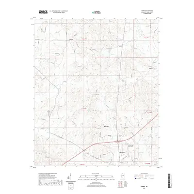
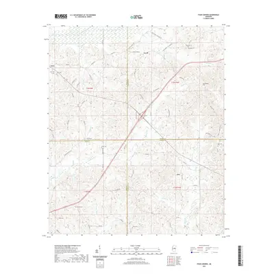 2020 Four Corners2020 Print · USGSCovers Leake County, including Vowell, Alice, and other nearby areas
 - 2020 Map of Walnut Grove, 2020 Print
 2020 Walnut Grove2020 Print · USGSCovers Leake County, including Walnut Grove, Damascus, and other nearby areas
 - 2020 Map of Sebastopol, 2020 Print
 2020 Sebastopol2020 Print · USGSCovers Leake County, including Kitchener, High Hill, and other nearby areas
 - 2020 Map of Renfroe, 2020 Print
 2020 Renfroe2020 Print · USGSCovers Leake County, including Renfroe, Battle Bluff, and other nearby areas
 - 2020 Map of Thomastown, 2020 Print
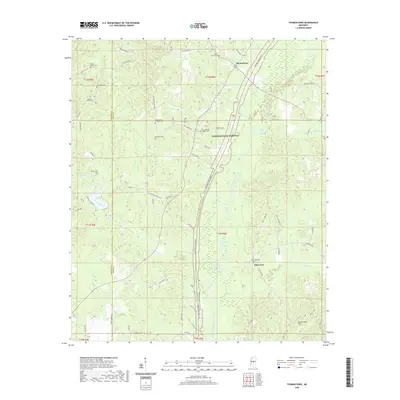 2020 Thomastown2020 Print · USGSCovers Leake County, including Thomastown, Saint Ann, and other nearby areas
 - 2020 Map of Joseph, 2020 Print
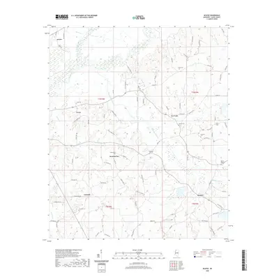
 2020 Joseph2020 Print · USGSCovers Leake County, including Bolatusha, Joseph, and other nearby areas
 - 2020 Map of Ofahoma, 2020 Print
 2020 Ofahoma2020 Print · USGSCovers Leake County, including Forest Grove, Good Hope, and other nearby areas
 - 2020 Map of Carthage, 2020 Print
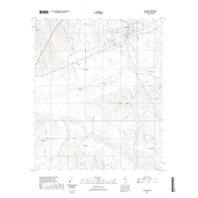 2020 Carthage2020 Print · USGSCovers Leake County, including Carthage, Piggtown, and other nearby areas
 - 2020 Map of McAfee, 2020 Print
 2020 McAfee2020 Print · USGSCovers Leake County, including Harmony, Rosebud, and other nearby areas
 - 2020 Map of Conway, 2020 Print
 2020 Conway2020 Print · USGSCovers Leake County, including Carthage, Redwater, and other nearby areas
 - 2020 Map of Madden, 2020 Print
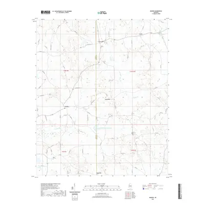 2020 Madden2020 Print · USGSCovers Leake County, including Laurel Hill, Dowdville, and other nearby areas
 - 2021 Map of Ludlow, 2021 Print
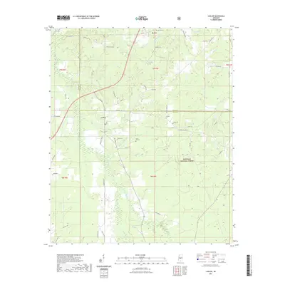 2021 Ludlow2021 Print · USGSCovers Leake County, including Bertice, Ludlow, and other nearby areas
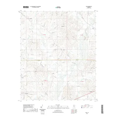
 - 2021 Map of Lena, 2021 Print
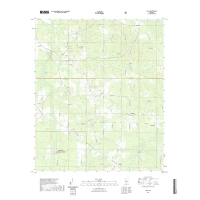 2021 Lena2021 Print · USGSCovers Leake County, including Lena, Cash, and other nearby areas
 - 2024 Map of Madden, 2024 Print
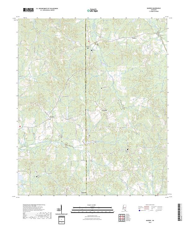 2024 Madden2024 Print · USGSThe Mississippi borderlands of Leake and Neshoba counties appear as a network of creek-fed valleys and small hamlets. Researchers can trace family ties at Mount Zion Cem and navigate the roads connecting Madden to Waldo and High Hill.
 - 2024 Map of Sebastopol, 2024 Print
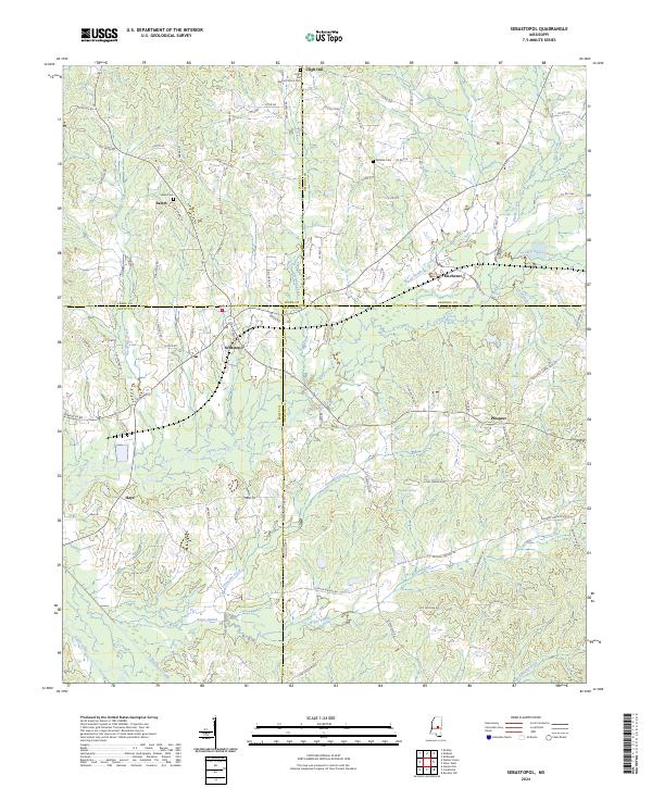 2024 Sebastopol2024 Print · USGSSpanning the meeting point of four Mississippi counties, this modern survey documents the rural communities and watersheds of the central interior. Trace local family roots at High Hill Baptist Church Cem or the settlements of Kitchener and Sebastopol.
 - 2024 Map of Singleton, 2024 Print
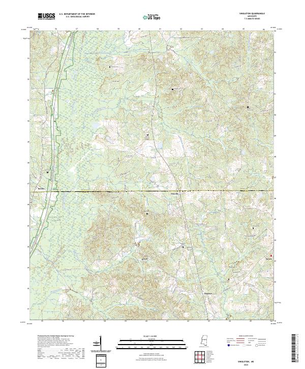 2024 Singleton2024 Print · USGSThe Attala and Leake County line comes alive in this current survey of the rural Mississippi interior. Genealogists can locate numerous local burial grounds including Singleton Cem, Pleasant Hill Cem, and Turnage Cem along the Yockanookany River drainage.
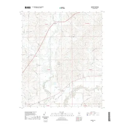
 - 2024 Map of Zama, 2024 Print
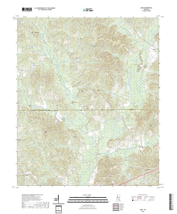 2024 Zama2024 Print · USGSThe borderlands of Attala and Leake Counties are preserved here in a detailed contemporary study of rural central Mississippi. Local historians can trace family roots through numerous burial sites like Old Shields Family Cem and the small settlements of Zama and Smyrna.
 - 2024 Map of Ludlow, 2024 Print
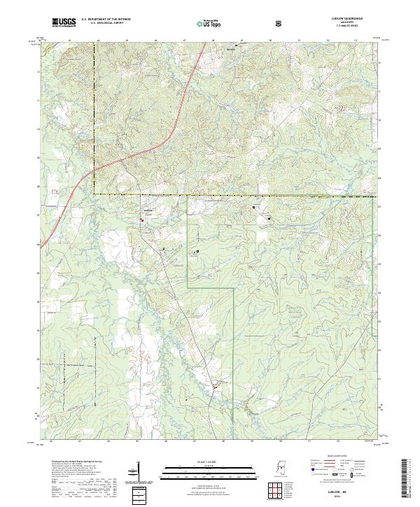 2024 Ludlow2024 Print · USGSScott County enters the mid-2020s with its rural character intact, dominated by the timbered stretches of the Bienville National Forest. Genealogists can trace local lineages through family-named sites like Pearson Cem, Coward Cem, and the settlement of Ludlow.
 - 2024 Map of Walnut Grove, 2024 Print
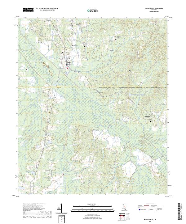 2024 Walnut Grove2024 Print · USGSThe rural landscapes of Leake and Scott counties are captured here in the contemporary era, centered on the historic crossroads of Walnut Grove. Local historians can trace family locations through numerous burial sites including Old Walnut Grove Cem and Damascus Cem near the Tuscolameta Creek bottoms.
 - 2024 Map of Renfroe, 2024 Print
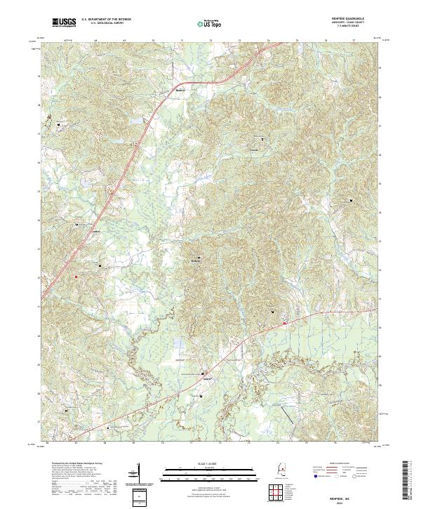 2024 Renfroe2024 Print · USGSLeake County rural life is well preserved in this recent survey of the Mississippi interior. Genealogists can trace family lineages through numerous local burial grounds, including Reformation Cem, Midway Cem, and the Antioch Cem.
 - 2024 Map of Four Corners, 2024 Print
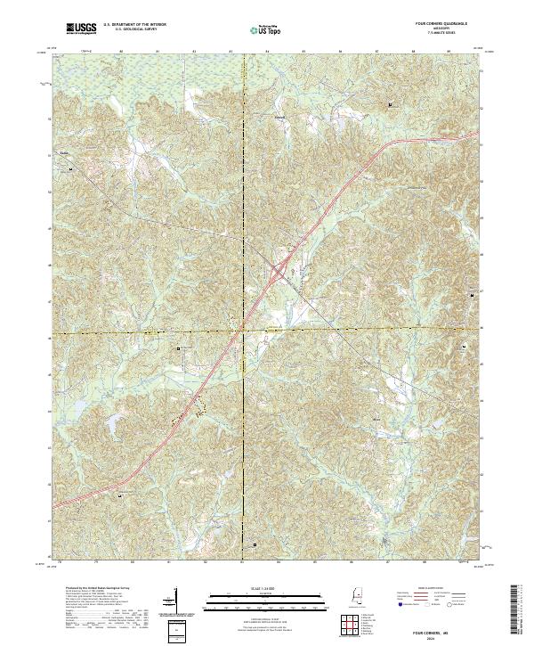 2024 Four Corners2024 Print · USGSThe four-county intersection of Winston, Attala, Leake, and Neshoba is captured in this modern survey of central Mississippi. Genealogists can locate family landmarks like Kelley Cem, Ebenezer Cem, and Rattletrap Cem near the rural settlements of Zama and Vowell.
 - 2024 Map of McAfee, 2024 Print
 2024 McAfee2024 Print · USGSCentral Mississippi in the 2020s remains a landscape of small crossroads and family cemeteries. Trace local genealogy and geography through settlements like Freeny, Estesmill, and Free Trade, or find landmarks like the Galilee Missionary Baptist Church Cem.
Showing maps 1-25 of 32
Top cities of Leake County
Frequently asked questions
- What are the different types of historical maps available for Leake County?
- What is the oldest map of Leake County?
- Where can I purchase historical maps of Leake County for my home or office?
- Where can I download high-res historical maps of Leake County?
- Are there historical topographic maps available for Leake County?
- Is there historical aerial imagery available for Leake County?
- Where are historical maps of Leake County sourced from?