2000s (21st Century) Maps of Lincoln County, Mississippi
Explore 102 historic maps of Lincoln County from the 2000s (21st Century). These maps offer a rare glimpse into what life looked like during the 2000s — showing old roads, neighborhoods, homes, and landmarks that have changed or disappeared over time.
Whether you're researching your family's past, planning a metal detecting trip, or studying how Lincoln County's landscape evolved across the 2000s, these high-resolution maps are a powerful tool for exploring the history of this region.
- Focus on a specific era: All maps on this page are from the 2000s, giving you a focused view of this time period.
- See what’s changed: Compare century-old streets, trails, and buildings to today's modern landscape using overlays and satellite layers.
- Research with precision: Use these maps for genealogy, historical research, land use analysis, or educational projects.
- View, download, or print: Maps are fully viewable online in high resolution, and can be downloaded or printed for your own records.
Start exploring Lincoln County's history through authentic maps from the 2000s. This is your window into the past.
Lincoln County, MS maps
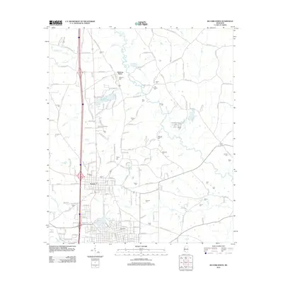
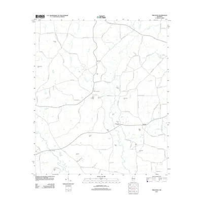
(102)- 2000 Map of McCall Creek, 2002 Print
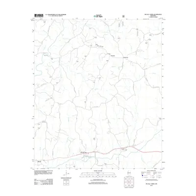
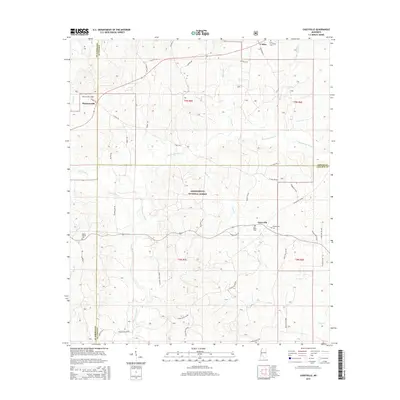
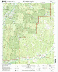 2000 McCall Creek2002 Print · USGSSouthwest Mississippi's timber country is documented here at the turn of the century, showing the crossroads of Franklin and Lincoln counties. Genealogists can locate family landmarks like Wright Cem and rural centers such as Shucktown and McCall Creek.
 - 2000 Map of Little Springs, 2002 Print
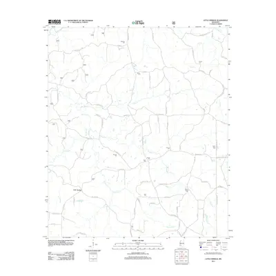
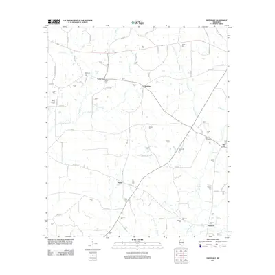
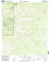 2000 Little Springs2002 Print · USGSSouthwestern Mississippi at the turn of the century reveals a landscape defined by the Homochitto National Forest. Researchers can trace old family roots at Little Springs and explore local history through sites like Ebenezer Ch and McGenée Cem.
 - 2012 Map of Bogue Chitto, 2012 Print
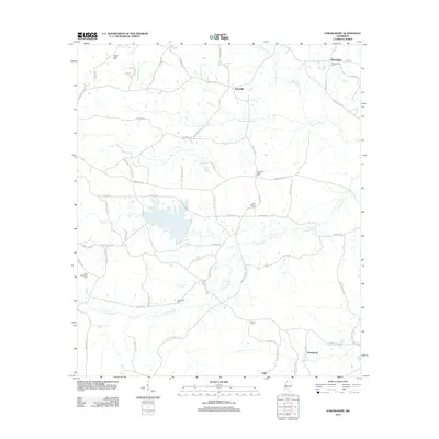
 2012 Bogue Chitto2012 Print · USGSCovers Lincoln County, including Blueberry Hill, Enterprise, and other nearby areas
 - 2012 Map of Topeka, 2012 Print
 2012 Topeka2012 Print · USGSCovers Lincoln County, including Bristers Store, Topeka, and other nearby areas
 - 2012 Map of McComb North, 2012 Print
 2012 McComb North2012 Print · USGSCovers Lincoln County, including McComb, Summit, and other nearby areas
 - 2012 Map of Fair Oak Springs, 2012 Print
 2012 Fair Oak Springs2012 Print · USGSCovers Lincoln County, including Harmony, Fair River, and other nearby areas
 - 2012 Map of West Lincoln, 2012 Print
 2012 West Lincoln2012 Print · USGSCovers Lincoln County, including Center Point, Arlington, and other nearby areas
 - 2012 Map of Ruth, 2012 Print
 2012 Ruth2012 Print · USGSCovers Lincoln County, including Bristerville, Wellman, and other nearby areas
 - 2012 Map of Pricedale, 2012 Print
 2012 Pricedale2012 Print · USGSCovers Lincoln County, including Topisaw, Pricedale, and other nearby areas
 - 2012 Map of Nola, 2012 Print
 2012 Nola2012 Print · USGSCovers Lincoln County, including Monticello, Rosella, and other nearby areas
 - 2012 Map of Caseyville, 2012 Print
 2012 Caseyville2012 Print · USGSCovers Lincoln County, including Caseyville, Pleasant Hill, and other nearby areas
 - 2012 Map of Jayess, 2012 Print
 2012 Jayess2012 Print · USGSCovers Lincoln County, including Enon, Verna, and other nearby areas
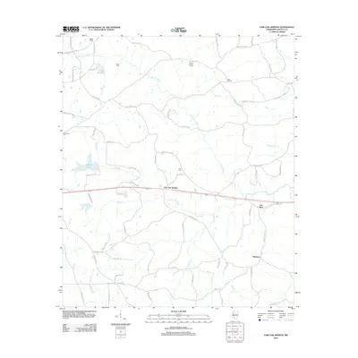
 - 2012 Map of McCall Creek, 2012 Print
 2012 McCall Creek2012 Print · USGSCovers Lincoln County, including McCall Creek, Kennolia, and other nearby areas
 - 2012 Map of Wesson, 2012 Print
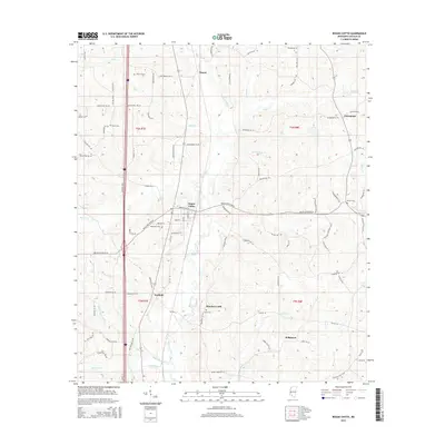
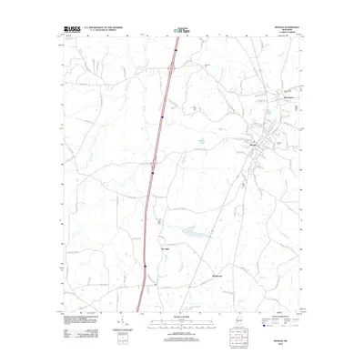 2012 Wesson2012 Print · USGSCovers Lincoln County, including Brookhaven, Wesson, and other nearby areas
 - 2012 Map of Zetus, 2012 Print
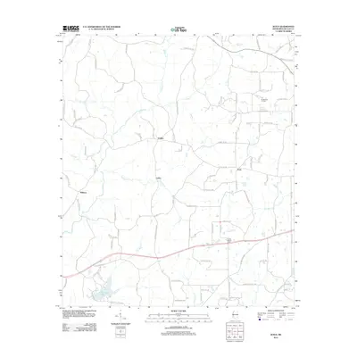 2012 Zetus2012 Print · USGSCovers Lincoln County, including Vaughn, Williams, and other nearby areas
 - 2012 Map of Auburn, 2012 Print
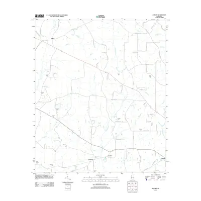 2012 Auburn2012 Print · USGSCovers Lincoln County, including McComb, Auburn, and other nearby areas
 - 2012 Map of Little Springs, 2012 Print
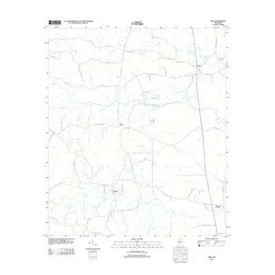
 2012 Little Springs2012 Print · USGSCovers Lincoln County, including Little Springs, Franklin County, and other nearby areas
 - 2012 Map of Stronghope, 2012 Print
 2012 Stronghope2012 Print · USGSCovers Lincoln County, including Woolworth, Sand Hill, and other nearby areas
 - 2012 Map of Brookhaven, 2012 Print
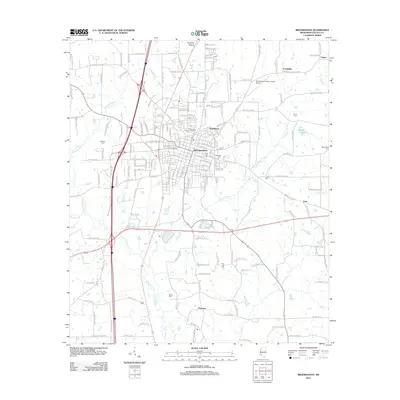 2012 Brookhaven2012 Print · USGSCovers Lincoln County, including Brookhaven, Pearlhaven, and other nearby areas
 - 2012 Map of Midway, 2012 Print
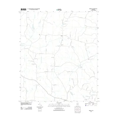 2012 Midway2012 Print · USGSCovers Lincoln County, including Midway, Loyd Star, and other nearby areas
 - 2012 Map of Smithdale, 2012 Print
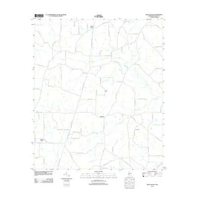
 2012 Smithdale2012 Print · USGSCovers Lincoln County, including Hustler, Mars Hill, and other nearby areas
 - 2012 Map of Oma, 2012 Print
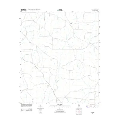
 2012 Oma2012 Print · USGSCovers Lincoln County, including Tryus, Oma, and other nearby areas
 - 2015 Map of Bogue Chitto, 2015 Print
 2015 Bogue Chitto2015 Print · USGSCovers Lincoln County, including Blueberry Hill, Enterprise, and other nearby areas
 - 2015 Map of Wesson, 2015 Print
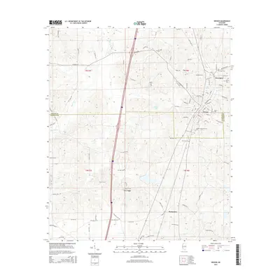 2015 Wesson2015 Print · USGSCovers Lincoln County, including Brookhaven, Wesson, and other nearby areas
 - 2015 Map of Caseyville, 2015 Print
 2015 Caseyville2015 Print · USGSCovers Lincoln County, including Caseyville, Pleasant Hill, and other nearby areas
Showing maps 1-25 of 102
Top cities of Lincoln County
Frequently asked questions
- What are the different types of historical maps available for Lincoln County?
- What is the oldest map of Lincoln County?
- Where can I purchase historical maps of Lincoln County for my home or office?
- Where can I download high-res historical maps of Lincoln County?
- Are there historical topographic maps available for Lincoln County?
- Is there historical aerial imagery available for Lincoln County?
- Where are historical maps of Lincoln County sourced from?