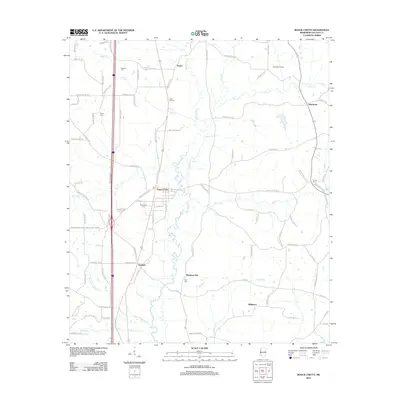
2012 Map of Bogue Chitto
USGS Topo · Published 2012About this map
Bogue Chitto serves as the central hub of this Mississippi landscape, situated along the winding course of the Bogue Chitto river. The settlement pattern follows a clear corridor between Bogue Chitto and Norfield, reflecting the historic influence of the rail and road networks through Lincoln County. To the east, the terrain transitions into more agricultural and industrial use, highlighted by the Mallalieu Oil Field.
Find a feature on this map
92 named features on this map. Tap any name to fly to it.
Don’t see what you’re looking for? This feature index may not catch every label — zoom into the map to look around manually.
Map Details
Editions of this 2012 Bogue Chitto Map
This is the sole edition of this map. No revisions or reprints were ever made.
Other maps of this area

1953 · Natchez
USGS Topo · 1:250,000

1956 · Natchez
USGS Topo · 1:250,000

1959 · Natchez
USGS Topo · 1:250,000

1972 · West Lincoln
USGS Topo · 1:24,000

1972 · Fair Oak Springs
USGS Topo · 1:24,000

1972 · Auburn
USGS Topo · 1:24,000

1972 · Ruth
USGS Topo · 1:24,000

1972 · Pricedale
USGS Topo · 1:24,000

1972 · Bogue Chitto
USGS Topo · 1:24,000

1972 · Brookhaven
USGS Topo · 1:24,000