2000s (21st Century) Maps of Columbus AFB, Mississippi
Explore 10 historic maps of Columbus AFB from the 2000s (21st Century). These maps offer a rare glimpse into what life looked like during the 2000s — showing old roads, neighborhoods, homes, and landmarks that have changed or disappeared over time.
Whether you're researching your family's past, planning a metal detecting trip, or studying how Columbus AFB's landscape evolved across the 2000s, these high-resolution maps are a powerful tool for exploring the history of this region.
- Focus on a specific era: All maps on this page are from the 2000s, giving you a focused view of this time period.
- See what’s changed: Compare century-old streets, trails, and buildings to today's modern landscape using overlays and satellite layers.
- Research with precision: Use these maps for genealogy, historical research, land use analysis, or educational projects.
- View, download, or print: Maps are fully viewable online in high resolution, and can be downloaded or printed for your own records.
Start exploring Columbus AFB's history through authentic maps from the 2000s. This is your window into the past.
Columbus AFB, MS maps
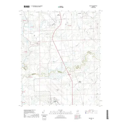
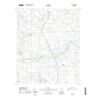
(10)- 2012 Map of Hamilton, 2012 Print
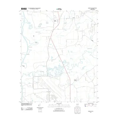 2012 Hamilton2012 Print · USGSCovers Columbus AFB, including New Hamilton, Kolola Springs, and other nearby areas
 - 2012 Map of Columbus North, 2012 Print
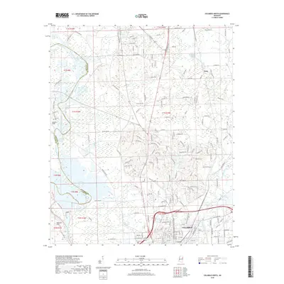
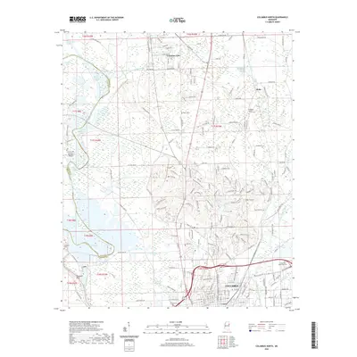
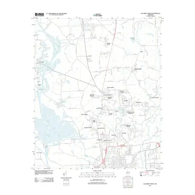 2012 Columbus North2012 Print · USGSCovers Columbus AFB, including Columbus, Wells, and other nearby areas
 - 2015 Map of Columbus North, 2015 Print
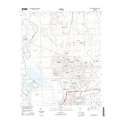 2015 Columbus North2015 Print · USGSCovers Columbus AFB, including Columbus, Wells, and other nearby areas
 - 2015 Map of Hamilton, 2015 Print
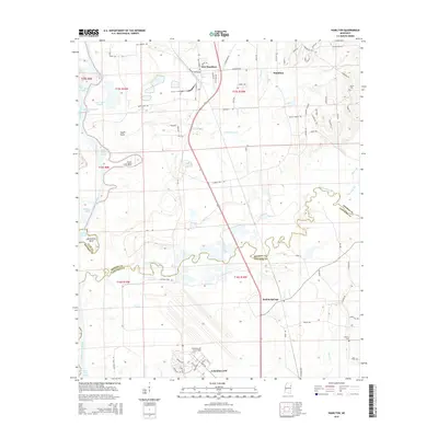 2015 Hamilton2015 Print · USGSCovers Columbus AFB, including New Hamilton, Kolola Springs, and other nearby areas
 - 2018 Map of Columbus North, 2018 Print
 2018 Columbus North2018 Print · USGSCovers Columbus AFB, including Columbus, Wells, and other nearby areas
 - 2018 Map of Hamilton, 2018 Print
 2018 Hamilton2018 Print · USGSCovers Columbus AFB, including New Hamilton, Kolola Springs, and other nearby areas
 - 2020 Map of Hamilton, 2020 Print
 2020 Hamilton2020 Print · USGSCovers Columbus AFB, including New Hamilton, Kolola Springs, and other nearby areas
 - 2020 Map of Columbus North, 2020 Print
 2020 Columbus North2020 Print · USGSCovers Columbus AFB, including Columbus, Wells, and other nearby areas
 - 2024 Map of Columbus North, 2024 Print
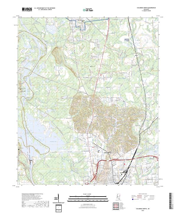 2024 Columbus North2024 Print · USGSLowndes County's river-driven landscape is shown here in the 2020s, defined by the Tombigbee River's complex modern waterway system. Researchers can locate family landmarks like Hopewell Baptist Church Cem, Sykes Cem, and the historic overlook at Plymouth Bluff.
 - 2024 Map of Hamilton, 2024 Print
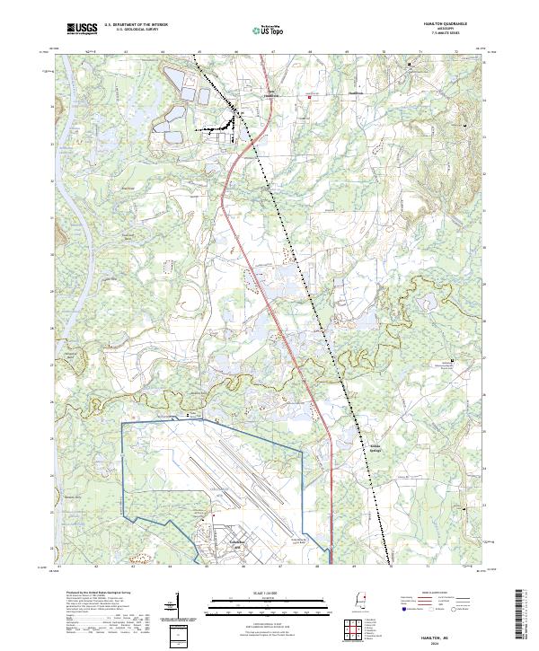 2024 Hamilton2024 Print · USGSNortheast Mississippi’s river-bound landscape is documented here during the mid-2020s, centered on the confluence of military and rural life. Researchers can locate several family cemeteries and historical river crossings like Doalms Ferry, Cedar Grove Cem, and Kolola Springs.
End of results
Showing maps 1-10 of 10
Top cities near Columbus AFB
- Columbus historical maps
- West Point historical maps
- Aberdeen historical maps
- Caledonia historical maps
- New Hamilton historical maps
- Artesia historical maps
Frequently asked questions
- What are the different types of historical maps available for Columbus AFB?
- What is the oldest map of Columbus AFB?
- Where can I purchase historical maps of Columbus AFB for my home or office?
- Where can I download high-res historical maps of Columbus AFB?
- Are there historical topographic maps available for Columbus AFB?
- Is there historical aerial imagery available for Columbus AFB?
- Where are historical maps of Columbus AFB sourced from?