Old Maps of Columbus AFB, Mississippi for Genealogy
Trace your family roots with 18 historic maps of Columbus AFB. These high-res maps reveal old neighborhoods, homesites, landmarks, and streets — helping you uncover where your ancestors lived and how the area evolved over time.
- Explore historic neighborhoods: Identify where your relatives may have lived in the 1800s or 1900s.
- Compare maps over time: Trace the changes in streets, buildings, and landmarks for multi-generational research.
- Perfect for genealogy & ancestry research: Used by family historians and researchers to map out lineage and migration.
These maps are an incredible resource for exploring your personal connection to Columbus AFB's past.
Columbus AFB, MS maps
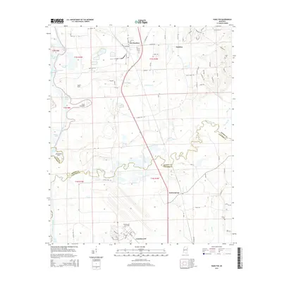
(18)- 1953 Map of West Point, 1973 Print
 1953 West Point1973 Print · USGSNorth-Central Mississippi and the Alabama borderlands are captured here during the mid-twentieth century as new reservoirs and national forests transformed the landscape. Researchers can trace the path of the Mississippi & Skuna Valley railroad or locate old landings along the Tombigbee River and Schooner Creek.3 unique versions available
 - 1958 Map of West Point
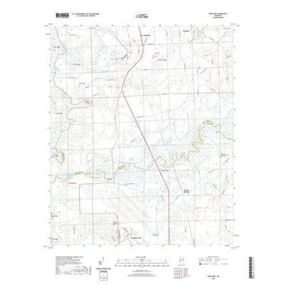
 1958 West Point1958 Print · USGSNortheastern Mississippi and western Alabama are shown in the late 1950s, highlighting a region defined by its river-and-rail economy. Researchers can trace family roots through numerous settlements like Artesia and Vardaman or explore the corridor of the Tombigbee River.
 - 1960 Map of Caledonia, 1961 Print
 1960 Caledonia1961 Print · USGSThe Mississippi-Alabama borderlands in the early sixties reveal a landscape of growing military bases and traditional river commerce. Trace family roots through rural landmarks like Anderson Grove Sch, Waverly Ferry, and the rail lines serving Steens.2 unique versions available
 - 1963 Map of West Point
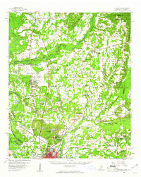
 1963 West Point1963 Print · USGSEastern Mississippi and western Alabama are captured in the early sixties as industrial centers and rail lines connected the Black Prairie to the hills. Genealogists and historians can trace family-named watercourses and the early footprints of Starkville, Columbus, and the Noxubee National Wildlife Refuge.2 unique versions available
 - 1982 Map of West Point, 1983 Print
 1982 West Point1983 Print · USGSEastern Mississippi and western Alabama are captured in the early eighties as the river-and-rail economy evolved. Trace family roots and old township lines near West Point, Columbus Air Force Base, and the historic Natchez Trace Parkway.
 - 1984 Map of West Point
 1984 West Point1984 Print · USGSNorth-Central Mississippi in the mid-eighties shows a landscape defined by massive water management projects and dense timberlands. Researchers can trace the legacy of rural settlements like Geeslin Corner or the rail corridors of the Illinois Central Gulf RR near Grenada Lake.3 unique versions available
 - 1987 Map of Hamilton
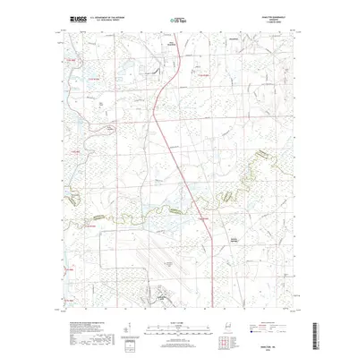
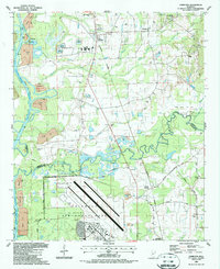 1987 Hamilton1987 Print · USGSThe Monroe and Lowndes County line in the late eighties shows a landscape of military aviation and river engineering. Trace the boundaries of Columbus Air Force Base or locate rural landmarks like Sardis Cem and Sulphur Springs Sch.
 - 1987 Map of Columbus North
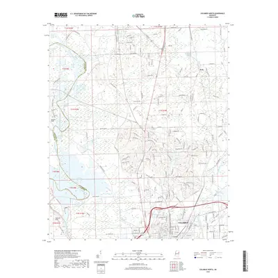
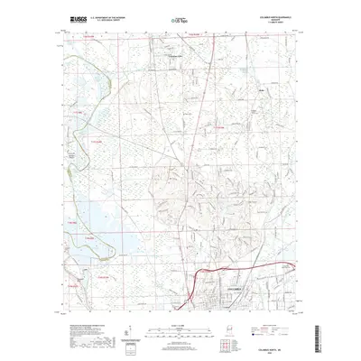
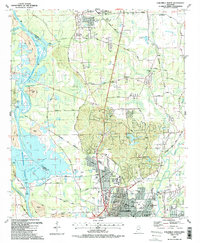 1987 Columbus North1987 Print · USGSNorthern Mississippi in the late eighties shows the rise of major water projects and military infrastructure. Trace the early layout of Columbus near the Columbus Air Force Base and historic churches like Antioch Ch.2 unique versions available
 - 2012 Map of Hamilton, 2012 Print
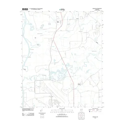 2012 Hamilton2012 Print · USGSCovers Columbus AFB, including New Hamilton, Kolola Springs, and other nearby areas
 - 2012 Map of Columbus North, 2012 Print
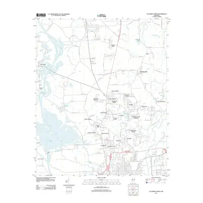 2012 Columbus North2012 Print · USGSCovers Columbus AFB, including Columbus, Wells, and other nearby areas
 - 2015 Map of Columbus North, 2015 Print
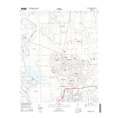 2015 Columbus North2015 Print · USGSCovers Columbus AFB, including Columbus, Wells, and other nearby areas
 - 2015 Map of Hamilton, 2015 Print
 2015 Hamilton2015 Print · USGSCovers Columbus AFB, including New Hamilton, Kolola Springs, and other nearby areas
 - 2018 Map of Columbus North, 2018 Print
 2018 Columbus North2018 Print · USGSCovers Columbus AFB, including Columbus, Wells, and other nearby areas
 - 2018 Map of Hamilton, 2018 Print
 2018 Hamilton2018 Print · USGSCovers Columbus AFB, including New Hamilton, Kolola Springs, and other nearby areas
 - 2020 Map of Hamilton, 2020 Print
 2020 Hamilton2020 Print · USGSCovers Columbus AFB, including New Hamilton, Kolola Springs, and other nearby areas
 - 2020 Map of Columbus North, 2020 Print
 2020 Columbus North2020 Print · USGSCovers Columbus AFB, including Columbus, Wells, and other nearby areas
 - 2024 Map of Columbus North, 2024 Print
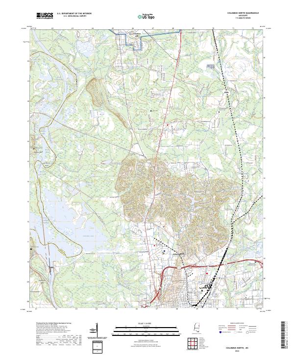 2024 Columbus North2024 Print · USGSLowndes County's river-driven landscape is shown here in the 2020s, defined by the Tombigbee River's complex modern waterway system. Researchers can locate family landmarks like Hopewell Baptist Church Cem, Sykes Cem, and the historic overlook at Plymouth Bluff.
 - 2024 Map of Hamilton, 2024 Print
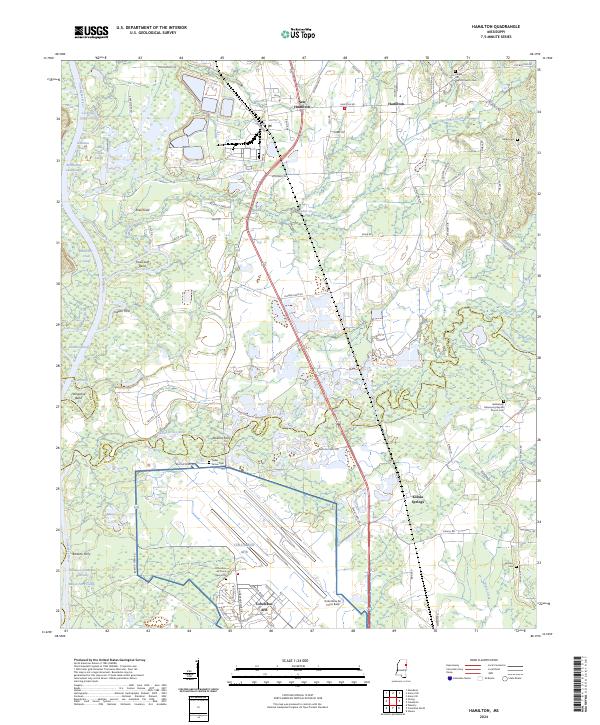 2024 Hamilton2024 Print · USGSNortheast Mississippi’s river-bound landscape is documented here during the mid-2020s, centered on the confluence of military and rural life. Researchers can locate several family cemeteries and historical river crossings like Doalms Ferry, Cedar Grove Cem, and Kolola Springs.
End of results
Showing maps 1-18 of 18
Top cities near Columbus AFB
- Columbus historical maps
- West Point historical maps
- Aberdeen historical maps
- Caledonia historical maps
- New Hamilton historical maps
- Artesia historical maps
Frequently asked questions
- What are the different types of historical maps available for Columbus AFB?
- What is the oldest map of Columbus AFB?
- Where can I purchase historical maps of Columbus AFB for my home or office?
- Where can I download high-res historical maps of Columbus AFB?
- Are there historical topographic maps available for Columbus AFB?
- Is there historical aerial imagery available for Columbus AFB?
- Where are historical maps of Columbus AFB sourced from?