2000s (21st Century) Maps of Madison, Mississippi
Explore 15 historic maps of Madison from the 2000s (21st Century). These maps offer a rare glimpse into what life looked like during the 2000s — showing old roads, neighborhoods, homes, and landmarks that have changed or disappeared over time.
Whether you're researching your family's past, planning a metal detecting trip, or studying how Madison's landscape evolved across the 2000s, these high-resolution maps are a powerful tool for exploring the history of this region.
- Focus on a specific era: All maps on this page are from the 2000s, giving you a focused view of this time period.
- See what’s changed: Compare century-old streets, trails, and buildings to today's modern landscape using overlays and satellite layers.
- Research with precision: Use these maps for genealogy, historical research, land use analysis, or educational projects.
- View, download, or print: Maps are fully viewable online in high resolution, and can be downloaded or printed for your own records.
Start exploring Madison's history through authentic maps from the 2000s. This is your window into the past.
Madison, MS maps
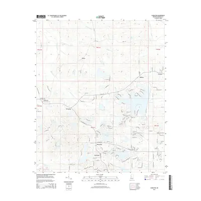
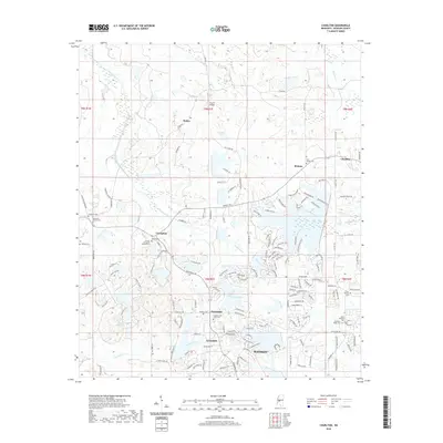
(15)- 2012 Map of Charlton, 2012 Print
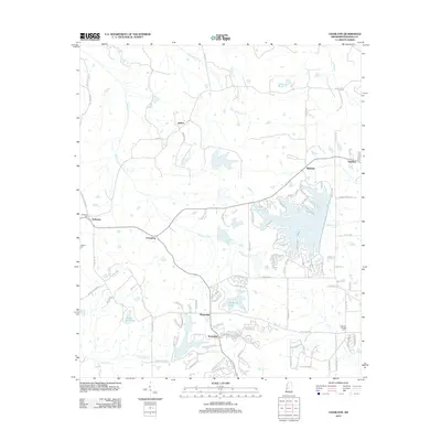 2012 Charlton2012 Print · USGSCovers Madison, including Livingston, Mannsdale, and other nearby areas
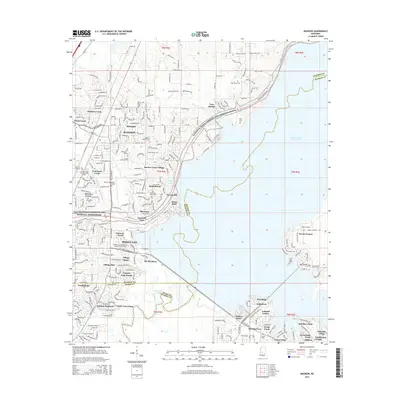
 - 2012 Map of Madison, 2012 Print
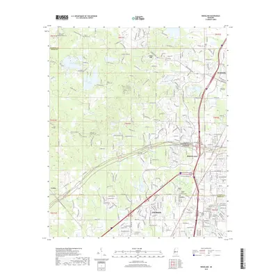
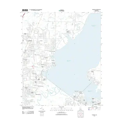 2012 Madison2012 Print · USGSCovers Madison, including Jackson, Ridgeland, and other nearby areas
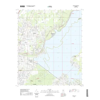
 - 2012 Map of Ridgeland, 2012 Print
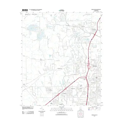 2012 Ridgeland2012 Print · USGSCovers Madison, including Jackson, Ridgeland, and other nearby areas
 - 2015 Map of Ridgeland, 2015 Print
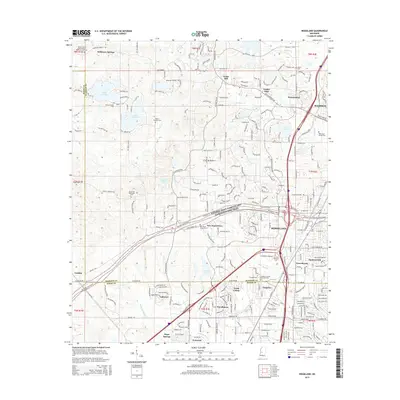 2015 Ridgeland2015 Print · USGSCovers Madison, including Jackson, Ridgeland, and other nearby areas
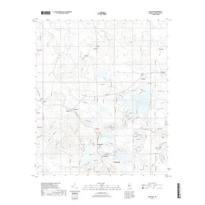
 - 2015 Map of Charlton, 2015 Print
 2015 Charlton2015 Print · USGSCovers Madison, including Livingston, Mannsdale, and other nearby areas
 - 2015 Map of Madison, 2015 Print
 2015 Madison2015 Print · USGSCovers Madison, including Jackson, Ridgeland, and other nearby areas
 - 2018 Map of Charlton, 2018 Print
 2018 Charlton2018 Print · USGSCovers Madison, including Livingston, Mannsdale, and other nearby areas
 - 2018 Map of Madison, 2018 Print
 2018 Madison2018 Print · USGSCovers Madison, including Jackson, Ridgeland, and other nearby areas
 - 2018 Map of Ridgeland, 2018 Print
 2018 Ridgeland2018 Print · USGSCovers Madison, including Jackson, Ridgeland, and other nearby areas
 - 2020 Map of Charlton, 2020 Print
 2020 Charlton2020 Print · USGSCovers Madison, including Livingston, Mannsdale, and other nearby areas
 - 2020 Map of Madison, 2020 Print
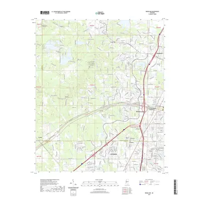
 2020 Madison2020 Print · USGSCovers Madison, including Jackson, Ridgeland, and other nearby areas
 - 2020 Map of Ridgeland, 2020 Print
 2020 Ridgeland2020 Print · USGSCovers Madison, including Jackson, Ridgeland, and other nearby areas
 - 2024 Map of Ridgeland, 2024 Print
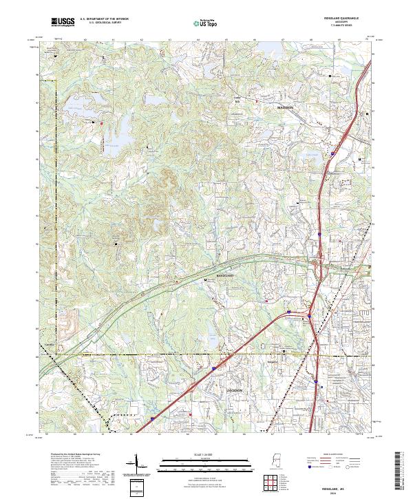 2024 Ridgeland2024 Print · USGSThe northern Jackson suburbs and the Ridgeland area are shown in detail during a period of significant modern expansion. Genealogists and local historians can trace legacy sites like Tougaloo College and numerous burial grounds including New Hope Grove Cem and Mount Olive Cem.
 - 2024 Map of Charlton, 2024 Print
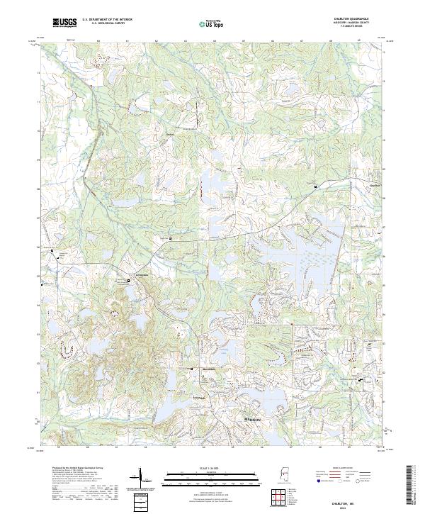 2024 Charlton2024 Print · USGSMadison County, Mississippi, shows a blend of growing residential communities and deeply rooted local history in this contemporary survey. Researchers can trace family heritage at the Hatten Cem Harrell-Livingston-Runnels Cem or locate landmarks like the Cloud 9 Airport and Chapel of the Cross Cem.
 - 2024 Map of Madison, 2024 Print
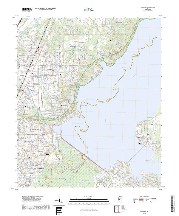 2024 Madison2024 Print · USGSMadison and Ridgeland sit at a crossroads of modern expansion and deep-rooted history along the Pearl River. Researchers can trace ancestral sites at Old Christian Union Cem or locate historical river crossings like Grants Ferry and Collins Ferry.
End of results
Showing maps 1-15 of 15
Top cities near Madison
- Jackson historical maps
- Clinton historical maps
- Pearl historical maps
- Brandon historical maps
- Ridgeland historical maps
- Canton historical maps
See more
Top neighborhoods of Madison
- Stonegate historical maps
- Tidewater historical maps
- Traceland North historical maps
- Treasure Cove historical maps
- Hunters Creek historical maps
- Pecan Creek historical maps
See more
Frequently asked questions
- What are the different types of historical maps available for Madison?
- What is the oldest map of Madison?
- Where can I purchase historical maps of Madison for my home or office?
- Where can I download high-res historical maps of Madison?
- Are there historical topographic maps available for Madison?
- Is there historical aerial imagery available for Madison?
- Where are historical maps of Madison sourced from?