2020s Maps of Monroe County, Mississippi
Explore 40 historic maps of Monroe County from the 2020s. These maps offer a rare glimpse into what life looked like during the 2020s — showing old roads, neighborhoods, homes, and landmarks that have changed or disappeared over time.
Whether you're researching your family's past, planning a metal detecting trip, or studying how Monroe County's landscape evolved across the 2020s, these high-resolution maps are a powerful tool for exploring the history of this region.
- Focus on a specific era: All maps on this page are from the 2020s, giving you a focused view of this time period.
- See what’s changed: Compare century-old streets, trails, and buildings to today's modern landscape using overlays and satellite layers.
- Research with precision: Use these maps for genealogy, historical research, land use analysis, or educational projects.
- View, download, or print: Maps are fully viewable online in high resolution, and can be downloaded or printed for your own records.
Start exploring Monroe County's history through authentic maps from the 2020s. This is your window into the past.
Monroe County, MS maps
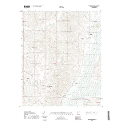
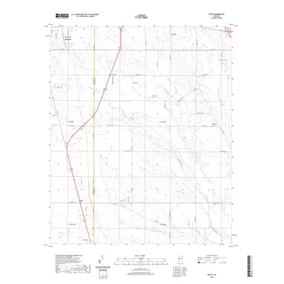
(40)- 2020 Map of Detroit, 2020 Print
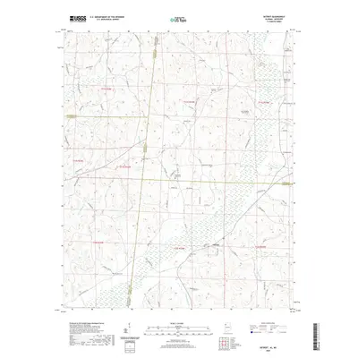 2020 Detroit2020 Print · USGSCovers Monroe County, including Detroit, Byrd, and other nearby areas
 - 2020 Map of Sulligent SW, 2020 Print
 2020 Sulligent SW2020 Print · USGSCovers Monroe County, including Vernon, Sulligent, and other nearby areas
 - 2020 Map of Millport NW, 2020 Print
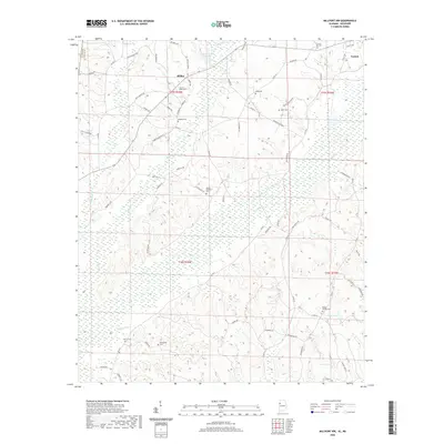 2020 Millport NW2020 Print · USGSCovers Monroe County, including Vernon, Star, and other nearby areas
 - 2020 Map of Sulligent, 2020 Print
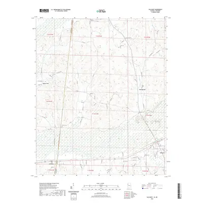 2020 Sulligent2020 Print · USGSCovers Monroe County, including Sulligent, Gattman, and other nearby areas
 - 2020 Map of Greenwood Springs, 2020 Print
 2020 Greenwood Springs2020 Print · USGSCovers Monroe County, including Splunge, Greenwood Springs, and other nearby areas
 - 2020 Map of Muldon, 2020 Print
 2020 Muldon2020 Print · USGSCovers Monroe County, including West Point, Muldon, and other nearby areas
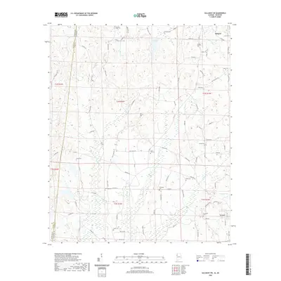
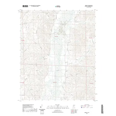
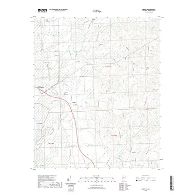
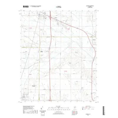
 - 2020 Map of Aberdeen, 2020 Print
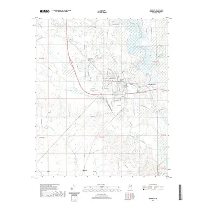 2020 Aberdeen2020 Print · USGSCovers Monroe County, including Aberdeen, Tolar Subdivision, and other nearby areas
 - 2020 Map of Turon, 2020 Print
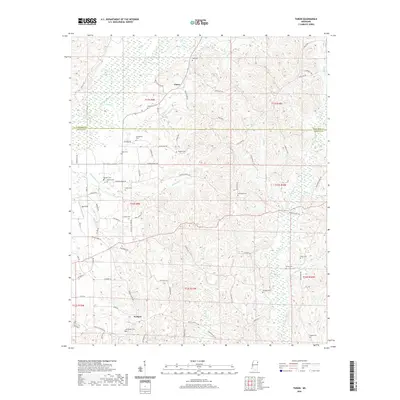 2020 Turon2020 Print · USGSCovers Monroe County, including Bristow, Turon, and other nearby areas
 - 2020 Map of Hamilton, 2020 Print
 2020 Hamilton2020 Print · USGSCovers Monroe County, including New Hamilton, Kolola Springs, and other nearby areas
 - 2020 Map of Strong, 2020 Print
 2020 Strong2020 Print · USGSCovers Monroe County, including West Point, Vinton, and other nearby areas
 - 2020 Map of Wren, 2020 Print
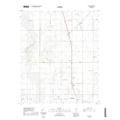
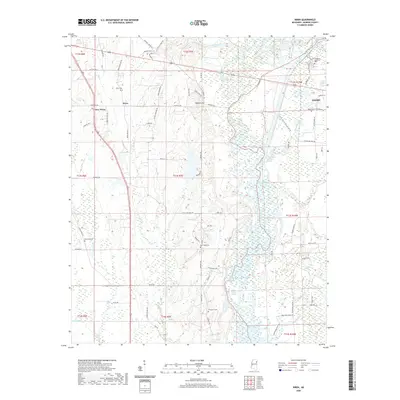 2020 Wren2020 Print · USGSCovers Monroe County, including Amory, Lake Monroe West Subdivision, and other nearby areas
 - 2020 Map of Smithville, 2020 Print
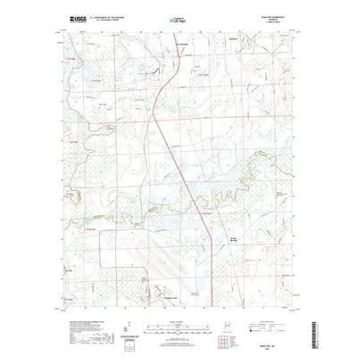
 2020 Smithville2020 Print · USGSCovers Monroe County, including Amory, Smithville, and other nearby areas
 - 2020 Map of Egypt, 2020 Print
 2020 Egypt2020 Print · USGSCovers Monroe County, including Okolona, Egypt, and other nearby areas
 - 2020 Map of Amory SE, 2020 Print
 2020 Amory SE2020 Print · USGSCovers Monroe County, including Mormon Springs, United States, and other nearby areas
 - 2020 Map of Amory SW, 2020 Print
 2020 Amory SW2020 Print · USGSCovers Monroe County, including Aberdeen, Athens, and other nearby areas
 - 2020 Map of Caledonia, 2020 Print
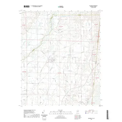 2020 Caledonia2020 Print · USGSCovers Monroe County, including Caledonia, Flint Hill, and other nearby areas
 - 2020 Map of Prairie, 2020 Print
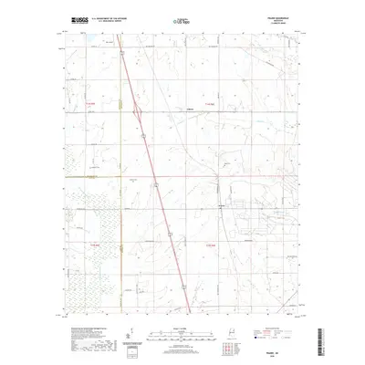 2020 Prairie2020 Print · USGSCovers Monroe County, including Prairie, Gibson, and other nearby areas
 - 2020 Map of Amory, 2020 Print
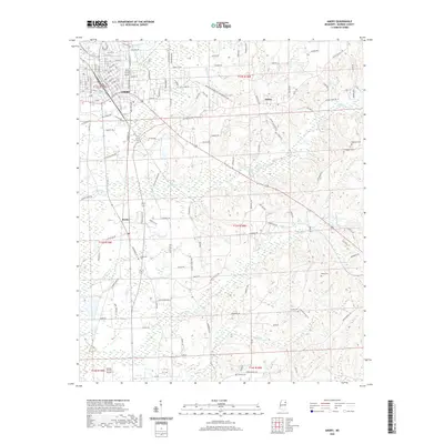 2020 Amory2020 Print · USGSCovers Monroe County, including Amory, Hatley, and other nearby areas
 - 2020 Map of Shannon, 2020 Print
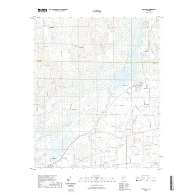
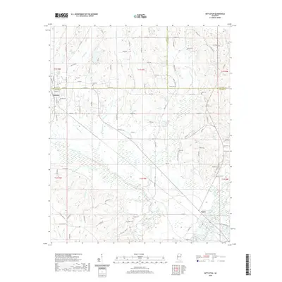
 2020 Shannon2020 Print · USGSCovers Monroe County, including Okolona, Nettleton, and other nearby areas
 - 2020 Map of Nettleton, 2020 Print
 2020 Nettleton2020 Print · USGSCovers Monroe County, including Amory, Nettleton, and other nearby areas
 - 2024 Map of Turon, 2024 Print
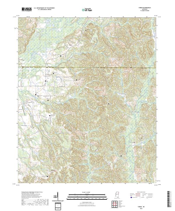 2024 Turon2024 Print · USGSNortheastern Mississippi borderlands are captured here in the early twenty-first century, showing the small communities of Turon and Parham. Genealogists can trace family footprints through numerous local sites including Springfield Cem, Wylie Cem, and the Sams Sawmill Lindsey Cem.
 - 2024 Map of Wren, 2024 Print
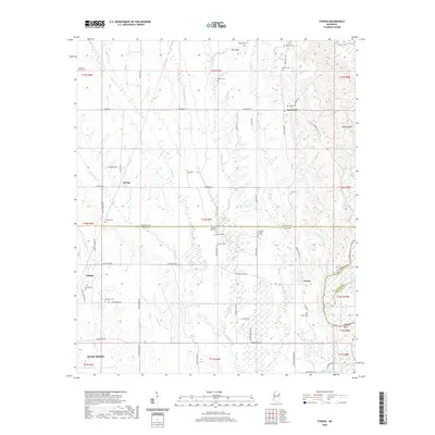
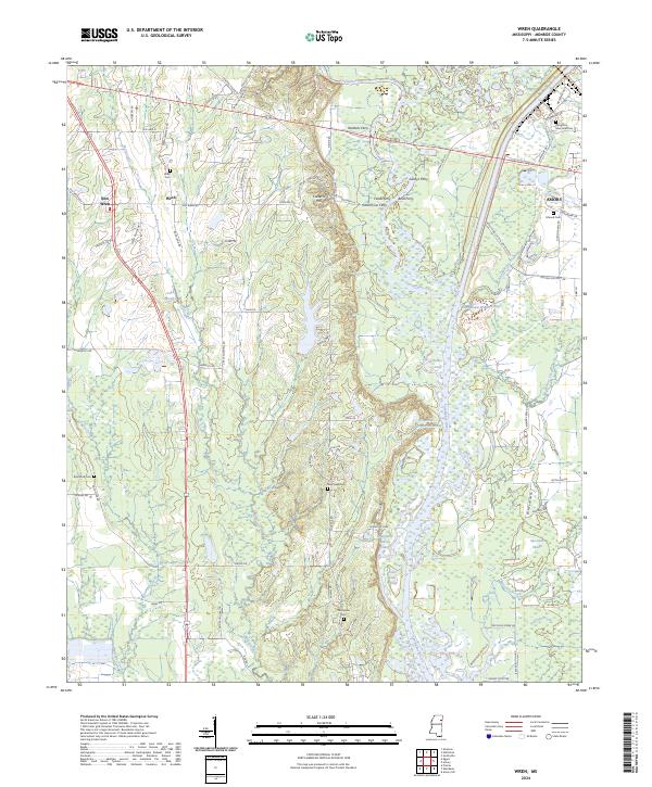 2024 Wren2024 Print · USGSMonroe County at the modern height of the Tennessee-Tombigbee era shows a landscape shaped by river commerce and deep-rooted local settlements. Genealogists can trace family landmarks like Wren Cem, New Hope Cem, and the historic crossing at Waltons Ferry.
 - 2024 Map of Muldon, 2024 Print
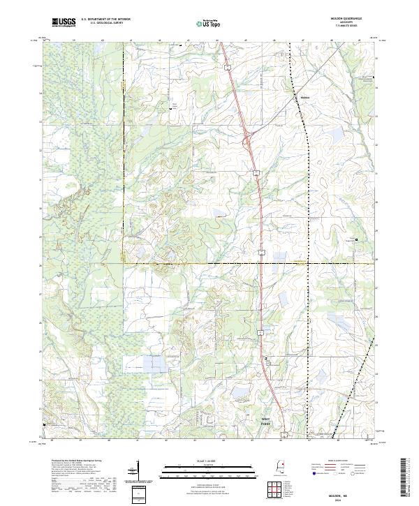 2024 Muldon2024 Print · USGSClay and Monroe counties meet here in northern Mississippi, where the rural crossroads of Muldon transitions into the northern reaches of West Point. Family history researchers can trace local roots through numerous sites including Le Noir Cem, Third Union Cem, and the Payne Chapel Cem.
 - 2024 Map of Nettleton, 2024 Print
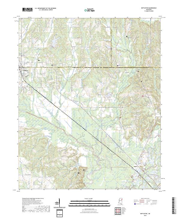 2024 Nettleton2024 Print · USGSNettleton and the rural communities of Monroe and Lee counties are shown here in the 2020s, centered on the historic river-and-rail landscape. Researchers can locate numerous family burial grounds like Pisgah Cem or trace the old river crossing at Cothers Ferry.
 - 2024 Map of Smithville, 2024 Print
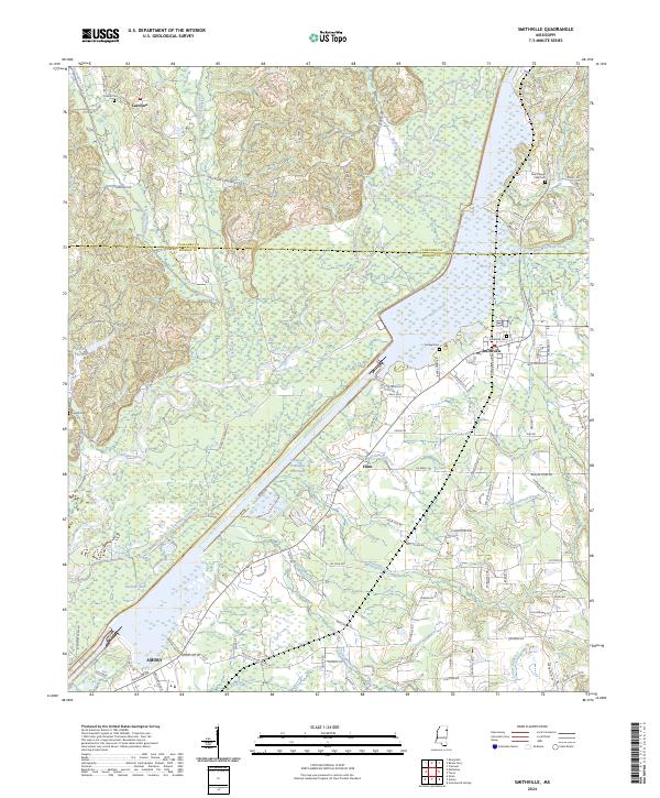 2024 Smithville2024 Print · USGSThe Smithville area of Northeast Mississippi is shaped by the expansive Tennessee-Tombigbee Waterway and its river-fed wetlands. Local historians can trace old community landmarks including Carolina, the Smithville Cem, and the outskirts of Amory near Malone Lake.
Showing maps 1-25 of 40
Top cities of Monroe County
- Amory historical maps
- Aberdeen historical maps
- Smithville historical maps
- New Hamilton historical maps
- Hatley historical maps
- Gattman historical maps
Frequently asked questions
- What are the different types of historical maps available for Monroe County?
- What is the oldest map of Monroe County?
- Where can I purchase historical maps of Monroe County for my home or office?
- Where can I download high-res historical maps of Monroe County?
- Are there historical topographic maps available for Monroe County?
- Is there historical aerial imagery available for Monroe County?
- Where are historical maps of Monroe County sourced from?