2010s Maps of Monroe County, Mississippi
Explore 60 historic maps of Monroe County from the 2010s. These maps offer a rare glimpse into what life looked like during the 2010s — showing old roads, neighborhoods, homes, and landmarks that have changed or disappeared over time.
Whether you're researching your family's past, planning a metal detecting trip, or studying how Monroe County's landscape evolved across the 2010s, these high-resolution maps are a powerful tool for exploring the history of this region.
- Focus on a specific era: All maps on this page are from the 2010s, giving you a focused view of this time period.
- See what’s changed: Compare century-old streets, trails, and buildings to today's modern landscape using overlays and satellite layers.
- Research with precision: Use these maps for genealogy, historical research, land use analysis, or educational projects.
- View, download, or print: Maps are fully viewable online in high resolution, and can be downloaded or printed for your own records.
Start exploring Monroe County's history through authentic maps from the 2010s. This is your window into the past.
Monroe County, MS maps
(60)- 2011 Map of Millport NW, 2011 Print
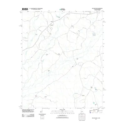 2011 Millport NW2011 Print · USGSIn the hills of northwest Lamar County at the start of the 2010s, a network of rural roads connects historic communities and active oil fields. Genealogists can trace family roots through numerous burial sites like Furnace Hill Cemetery and Asbury Cemetery, or locate old landmarks near Star and Molloy.
 - 2011 Map of Detroit, 2011 Print
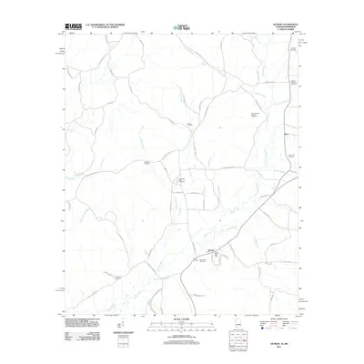 2011 Detroit2011 Print · USGSThe Alabama-Mississippi borderlands around Detroit appear in clear detail during the early twenty-first century. Genealogists and local historians can locate several family landmarks, including the Holligan and Moore Cemetery, Shelton Cemetery, and the West Detroit Gas Field.
 - 2011 Map of Sulligent, 2011 Print
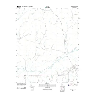 2011 Sulligent2011 Print · USGSThe Alabama and Mississippi borderlands come to life in the early twenty-first century, centered on the river-cut valley of the Buttahatchee River. Local researchers can trace family connections at Sulligent Cemetery, Sandlin Cemetery, and Pickle Cemetery or explore the rural routes around Sipsey Fork and the Sulligent Post Office.
 - 2011 Map of Sulligent SW, 2011 Print
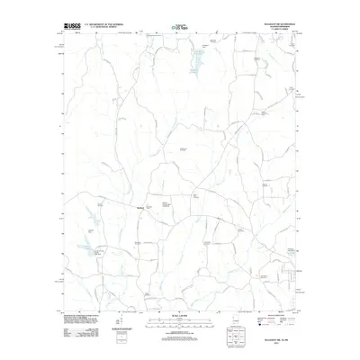 2011 Sulligent SW2011 Print · USGSLamar County reveals a landscape of rural crossroads and water infrastructure in the early twenty-first century. Genealogists and researchers can trace family landmarks at Bedford, find local burials at Rising Star Cemetery, and locate the Military Grove Gas Field.
 - 2012 Map of Hamilton, 2012 Print
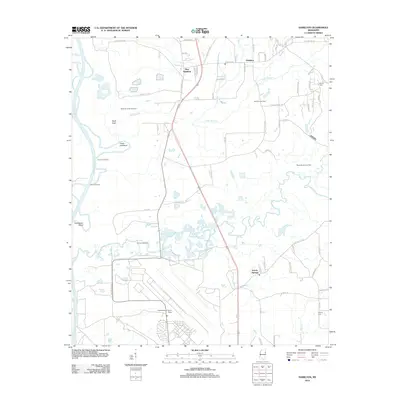 2012 Hamilton2012 Print · USGSMonroe County at the turn of the decade is defined by the winding Buttahatchee River and the energy-rich lands of the Hamilton Gas Field. Researchers can trace local family history through Sardis Cem or locate the sprawling Columbus Air Force Base in the south.
 - 2012 Map of Amory SW, 2012 Print
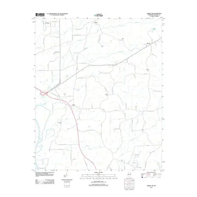 2012 Amory SW2012 Print · USGSMonroe County, Mississippi, retains its quiet rural character in the early twenty-first century, even as modern infrastructure like the Monroe County Airport expands. Genealogists can trace legacy family burial sites such as Paul Pounders Cem, Berry Cem, and Lackey Cem.
 - 2012 Map of Caledonia, 2012 Print
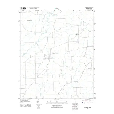 2012 Caledonia2012 Print · USGSCaledonia and the Mississippi-Alabama borderlands are documented here in the early twenty-first century as a landscape of gas fields and river bottomlands. Researchers can locate several family burial sites including Military Chapel Cem and Egger Cem, or trace the course of the Buttahatchee River.
 - 2012 Map of Prairie, 2012 Print
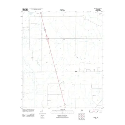 2012 Prairie2012 Print · USGSMonroe County's rural landscape is captured here in the early twenty-first century, centered on the settlements of Prairie and Gibson. Family historians can trace local roots through the Patterson Cem and Reedy Cem or explore the drainages of Chuquatonchee Cr.
 - 2012 Map of Muldon, 2012 Print
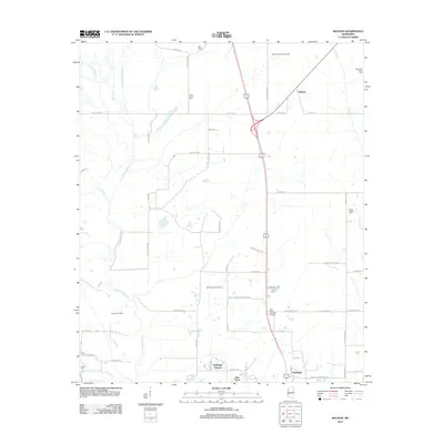 2012 Muldon2012 Print · USGSClay County at the start of the 2010s shows a landscape of gas production fields and quiet rural communities. Genealogists can locate several historic burial sites like Le Noir Cem and Siloam Cem alongside the winding Chuquatonchee Cr.
 - 2012 Map of Turon, 2012 Print
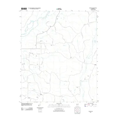 2012 Turon2012 Print · USGSMonroe County, Mississippi, is shown here in the early twenty-first century as a landscape of rural hamlets and family-named landmarks. Researchers can trace ancestral locations at New Hope Cem or Gilliland Cem and explore the historic connections between Turon and Parham.
 - 2012 Map of Nettleton, 2012 Print
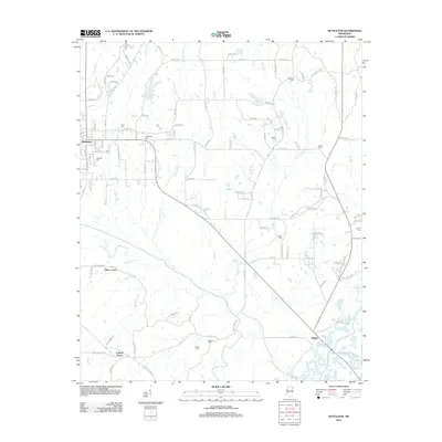 2012 Nettleton2012 Print · USGSThe borderlands of Monroe and Lee Counties are captured here in the early twenty-first century, showing a landscape defined by its river bottoms and rural crossroads. Researchers can trace family history through several local landmarks like Providence Cem, Pisgah Cem, and the settlement of Bigbee.
 - 2012 Map of Smithville, 2012 Print
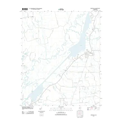 2012 Smithville2012 Print · USGSMonroe County, Mississippi, is shown here during a period of modern growth and well-preserved rural character in the early twenty-first century. Researchers can trace local lineage through burial grounds like New Chapel Cem or explore the water-bound geography of Pool B and Malone Lake.
 - 2012 Map of Shannon, 2012 Print
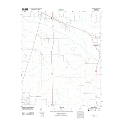 2012 Shannon2012 Print · USGSNortheastern Mississippi at the start of the 2010s shows a landscape of long-standing family settlements and vital creek systems. Researchers can locate several burial grounds including Whiteside (Family) Cem and trace the paths of Tubbalubba Cr and Chiwapa Cr.
 - 2012 Map of Egypt, 2012 Print
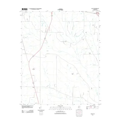 2012 Egypt2012 Print · USGSThe rural landscape of Chickasaw County is captured here in the early twenty-first century, showing a region defined by prairie creeks and small settlements. Genealogists can locate several local burial sites including Baker Cem and Word Cem near the banks of Mattubby Cr.
 - 2012 Map of Strong, 2012 Print
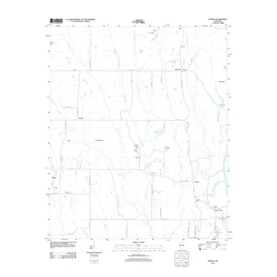 2012 Strong2012 Print · USGSClay County's rural landscape is captured here in the early twenty-first century as life continues around the Tombigbee River. Genealogists and local historians can trace family locations near Darracott, Vinton, and many community landmarks like Strong Cem or Abbott Cem.
 - 2012 Map of Aberdeen, 2012 Print
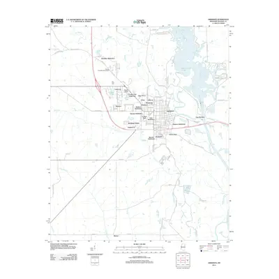 2012 Aberdeen2012 Print · USGSAberdeen and the Tombigbee River are captured here in the early twenty-first century, showing a town defined by its water and rail-era heritage. Researchers can trace the layout of local neighborhoods like Tolar Subdivision or find family-linked areas like Tucker Place and Binford.
 - 2012 Map of Amory, 2012 Print
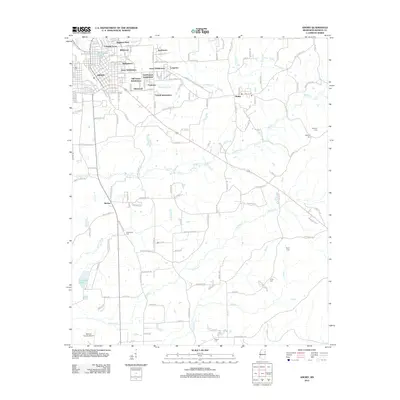 2012 Amory2012 Print · USGSAmory and its surrounding Monroe County landscape are captured here in the early twenty-first century, showing a mix of established neighborhoods and rural expanses. Researchers can trace the development of numerous subdivisions or locate local burial grounds like Gilleyten Cem and Greenbrier Cem.
 - 2012 Map of Amory SE, 2012 Print
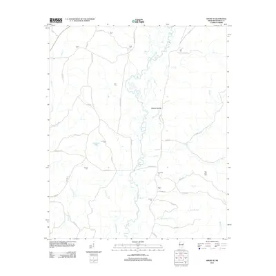 2012 Amory SE2012 Print · USGSMonroe County in the early twenty-first century remains a landscape of river bends and ancestral homesteads. Genealogists can locate numerous small burial sites like Walters Cem and Marchbanks Cem along the Buttahatchee River and Mormon Spring Br.
 - 2012 Map of Greenwood Springs, 2012 Print
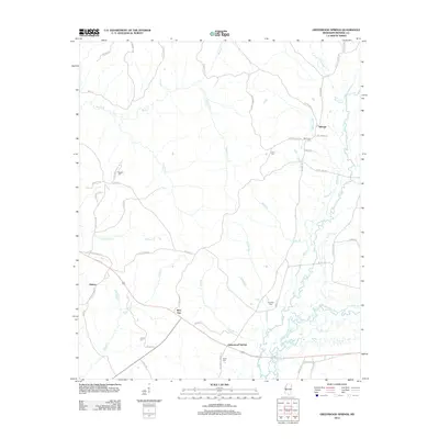 2012 Greenwood Springs2012 Print · USGSMonroe County, Mississippi, near the turn of the twenty-first century remains a landscape of quiet rural settlements and winding river bottoms. Researchers can trace family history through numerous landmarks like McKinney Cem and Crenshaw Cem or locate the historic crossings of the Buttahatchee River near Greenwood Springs.
 - 2012 Map of Wren, 2012 Print
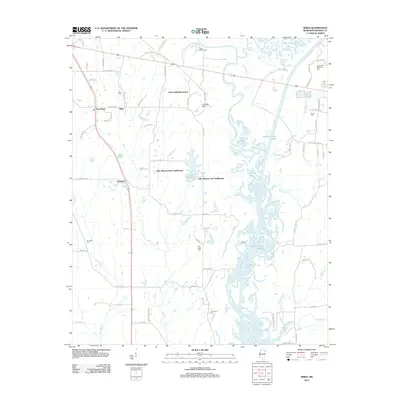 2012 Wren2012 Print · USGSMonroe County, Mississippi, is shown here in the early twenty-first century as modern subdivisions and traditional rural crossroads meet the Tombigbee lowlands. Researchers can locate family landmarks like Wren Cem, the community of Tranquil, and the shifting waters of the Weaver Creek Cutoff.
 - 2014 Map of Millport NW, 2014 Print
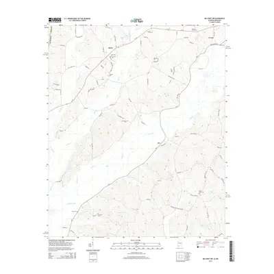 2014 Millport NW2014 Print · USGSNorthwest Lamar County and the town of Vernon are shown here during the early twenty-first century as the landscape transitioned between its agricultural roots and modern layout. Genealogists and local historians can trace family ties through numerous burial sites including Furnace Hill Cem, Mt Nebo Cem, and Sailor Cem.
 - 2014 Map of Sulligent, 2014 Print
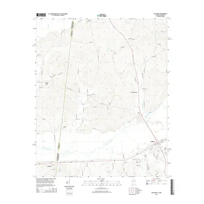 2014 Sulligent2014 Print · USGSCrossing the Alabama-Mississippi line in the mid-2010s, this area shows a landscape defined by the Buttahatchee River and the crossroads at Sulligent. Genealogists can trace family names through numerous rural burial grounds like Wesley Chapel Cem, Almon Cem, and Pickle Cem.
 - 2014 Map of Detroit, 2014 Print
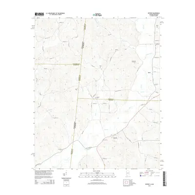 2014 Detroit2014 Print · USGSThe Alabama-Mississippi state line marks this rural landscape as it appeared in the early 21st century. Genealogists can trace family histories through numerous sites like Carter Cem, Pleasant Site Cem, and the old Dinky Line Rd.
 - 2014 Map of Sulligent SW, 2014 Print
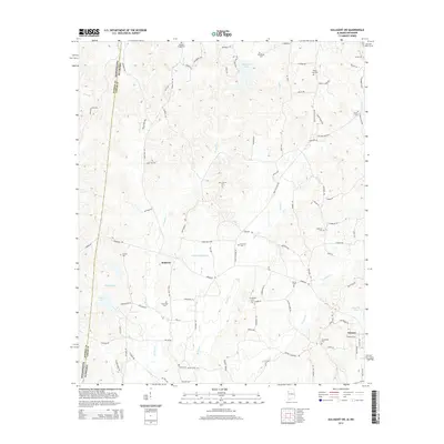 2014 Sulligent SW2014 Print · USGSThe Alabama-Mississippi borderlands come into focus in the mid-2010s, centered on the community of Vernon. Genealogists can trace family names through over a dozen rural burial grounds, including Pleasant Ridge Cem, Mt Olive Cem, and Shiloh Cem.
 - 2015 Map of Amory SE, 2015 Print
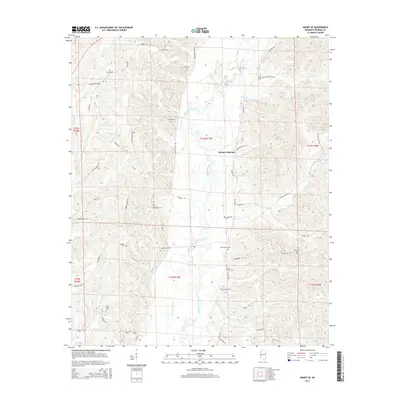 2015 Amory SE2015 Print · USGSMonroe County's rural landscape comes into focus during the mid-2010s, centered on the Buttahatchee River valley. Genealogists can trace family heritage through numerous burial sites including Marchbanks Cem, Sartor Cem, and Walters Cem.
Showing maps 1-25 of 60
Top cities of Monroe County
- Amory historical maps
- Aberdeen historical maps
- Smithville historical maps
- New Hamilton historical maps
- Hatley historical maps
- Gattman historical maps
Frequently asked questions
- What are the different types of historical maps available for Monroe County?
- What is the oldest map of Monroe County?
- Where can I purchase historical maps of Monroe County for my home or office?
- Where can I download high-res historical maps of Monroe County?
- Are there historical topographic maps available for Monroe County?
- Is there historical aerial imagery available for Monroe County?
- Where are historical maps of Monroe County sourced from?