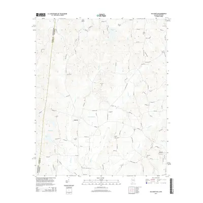
2014 Map of Sulligent SW
USGS Topo · Published 2014About this map
Vernon serves as a primary hub in this portion of Lamar County, anchoring a landscape defined by the drainage basins of Watson Cr and Cut Bank Cr. The area is notably dense with small family and community burial grounds, such as Springfield Cem and New Hope Cem, which provide significant points of interest for genealogical research in this border region near the Mississippi-Alabama state line. The settlement at Bedford sits west of several water bodies, including William Phillips Lake and B B Box Lake, reflecting a rural economy tied to the land and local waterways. A network of local roads like Shake Rag Rd and Military Grove Rd connects these disparate communities and cemeteries, tracing the historical movement patterns across the rolling terrain between Sulligent Lake and the southern reaches of the quadrangle.
Find a feature on this map
103 named features on this map. Tap any name to fly to it.
Don’t see what you’re looking for? This feature index may not catch every label — zoom into the map to look around manually.
Map Details
Editions of this 2014 Sulligent SW Map
This is the sole edition of this map. No revisions or reprints were ever made.
Other maps of this area

1953 · West Point
USGS Topo · 1:250,000

1958 · West Point
USGS Topo · 1:250,000

1960 · Caledonia
USGS Topo · 1:62,500

1963 · West Point
USGS Topo · 1:250,000

1966 · Greenwood Springs
USGS Topo · 1:24,000

1966 · Amory SE
USGS Topo · 1:24,000

1967 · Sulligent
USGS Topo · 1:24,000

1967 · Beaverton
USGS Topo · 1:24,000

1967 · Hightogy
USGS Topo · 1:24,000

1967 · Sulligent SW
USGS Topo · 1:24,000