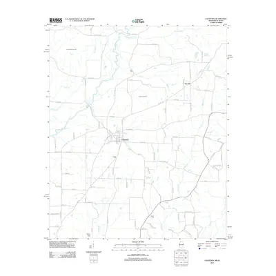
2012 Map of Caledonia
USGS Topo · Published 2012About this map
Caledonia serves as the central hub of this Lowndes County landscape, where the town's residential grid meets a network of rural roads and natural waterways. The geography is defined by the Buttahatchee River and its accompanying Running Slu, creating a complex drainage system that includes Maple Br and Bluff Cr. Subsurface activity is noted by the presence of the Buttahatchee Gas Field and the Caledonia Gas Field, indicating the region's energy production role in the early 21st century.
Find a feature on this map
98 named features on this map. Tap any name to fly to it.
Don’t see what you’re looking for? This feature index may not catch every label — zoom into the map to look around manually.
Map Details
Editions of this 2012 Caledonia Map
This is the sole edition of this map. No revisions or reprints were ever made.
Other maps of this area

1953 · West Point
USGS Topo · 1:250,000

1958 · West Point
USGS Topo · 1:250,000
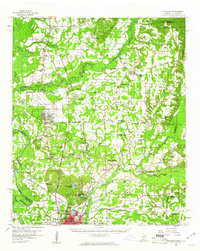
1960 · Caledonia
USGS Topo · 1:62,500

1963 · West Point
USGS Topo · 1:250,000
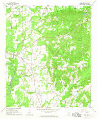
1966 · Amory SW
USGS Topo · 1:24,000
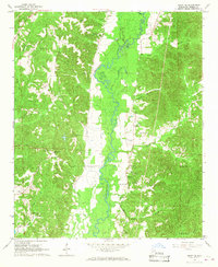
1966 · Amory SE
USGS Topo · 1:24,000
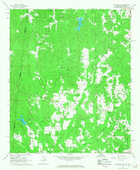
1967 · Sulligent SW
USGS Topo · 1:24,000
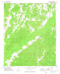
1967 · Millport NW
USGS Topo · 1:24,000
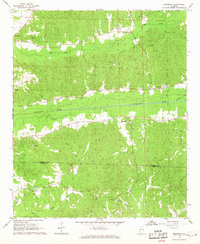
1967 · Fernbank
USGS Topo · 1:24,000
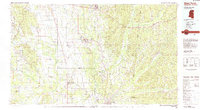
1982 · West Point
USGS Topo · 1:100,000