Old Maps of Philadelphia, Mississippi for Academic Research
Study the evolution of Philadelphia with 23 high-resolution historic maps. Whether you're teaching, researching, or modeling changes in land use, these maps provide essential visual documentation of urban, environmental, and geographic change.
- Analyze long-term change: Track patterns in development, transportation, and natural features.
- Ideal for environmental or urban studies: Support academic projects with primary historical map data.
- Use in the classroom or lab: Educators and researchers rely on these maps to bring historical context to life.
These maps are a powerful tool for teaching, research, and visualizing how Philadelphia has changed over the decades.
Philadelphia, MS maps
(23)- 1953 Map of Meridian, 1966 Print
 1953 Meridian1966 Print · USGSEast Central Mississippi and the Alabama borderlands are captured here during a period of steady growth and infrastructure expansion. Genealogists and historians can trace rail-town development along the Gulf Mobile & Ohio Railroad and find early settlements like Scooba, Pelahatchie, and De Kalb.2 unique versions available
 - 1957 Map of Meridian
 1957 Meridian1957 Print · USGSEast Central Mississippi and parts of Western Alabama come alive in the mid-1950s, centered on the transit hub of Meridian. Researchers can trace old rail lines like the Illinois Central and find historic sites such as the Choctaw Indian Reservation and Roosevelt State Park.
 - 1965 Map of Meridian
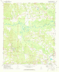
 1965 Meridian1965 Print · USGSEast Mississippi and West Alabama are mapped here in the mid-sixties as the region's modern highway and reservoir systems began to take shape. Researchers can trace rural lineages through local landmarks like Prince Chapel and Tuscahoma Landing, or follow the historic Gulf Mobile & Ohio rail lines.
 - 1972 Map of Pearl River, 1973 Print
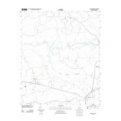
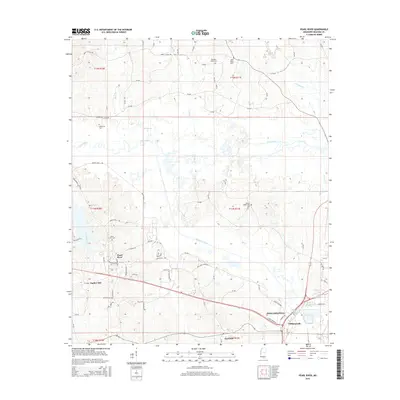
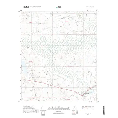
 1972 Pearl River1973 Print · USGSThe Pearl River community and the outskirts of Philadelphia appear here in the early seventies, showing a landscape of tribal administration and rural industry. Genealogists and local historians can locate the Tribal Office, Choctaw Youth Center, and Old Pearl Valley Ch.2 unique versions available
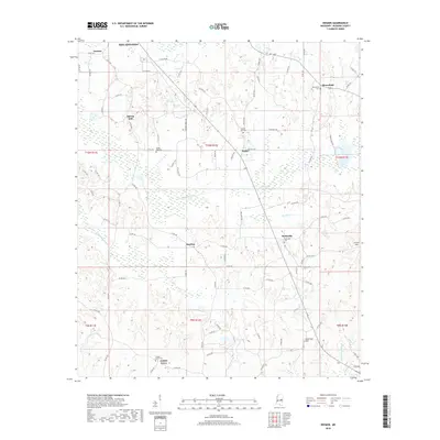
 - 1972 Map of Deemer, 1973 Print
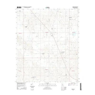
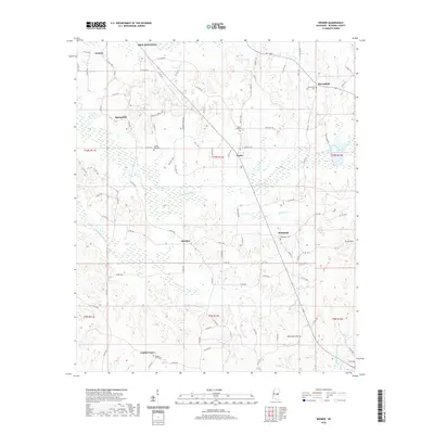
 1972 Deemer1973 Print · USGSNeshoba County's rural landscape is captured here in the early seventies, showing a network of small communities and canal-drained bottomlands. Researchers can locate family landmarks such as Spring Hill Cem, Tucker, and the Mt Olive Ch along the Beatline road.2 unique versions available
 - 1972 Map of Philadelphia, 1973 Print
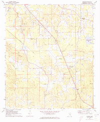
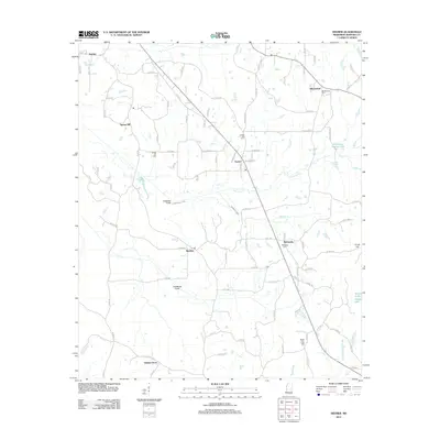
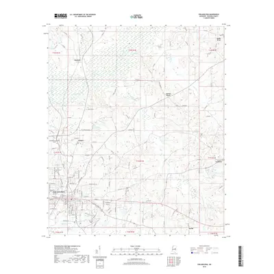
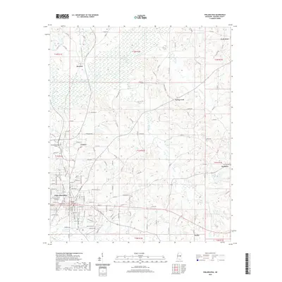
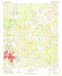 1972 Philadelphia1973 Print · USGSThe Neshoba County seat and surrounding timberlands are captured in the early 1970s, as Philadelphia expanded along the Gulf Mobile and Ohio Railroad. Genealogists can trace family names at Donald Cem, Cedarlawn Cem, and rural sites like Longino Ch.2 unique versions available
 - 1984 Map of Carthage
 1984 Carthage1984 Print · USGSLeake and Neshoba counties in the mid-1980s showcase a transition from the Government Hills to the dense Bienville National Forest. Genealogists and researchers can trace the historic Natchez Trace Parkway and local settlements like Plattsburg and Williamsville.
 - 1994 Map of Carthage
 1994 Carthage1994 Print · USGSCentral Mississippi in the mid-nineties is a region of dense river bottoms and historic travel ways. Genealogists can trace family names and small-town roots across the Choctaw Indian Reservation or follow the path of the Natchez Trace Parkway past Carthage and Walnut Grove.
 - 2012 Map of Deemer, 2012 Print
 2012 Deemer2012 Print · USGSCovers Philadelphia, including Bethsaida, Golden Grove, and other nearby areas
 - 2012 Map of Philadelphia, 2012 Print
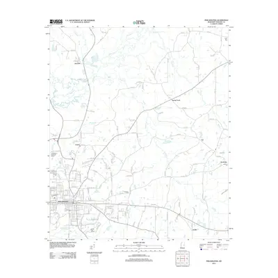 2012 Philadelphia2012 Print · USGSCovers Philadelphia, including Burnside, Sandtown, and other nearby areas
 - 2012 Map of Pearl River, 2012 Print
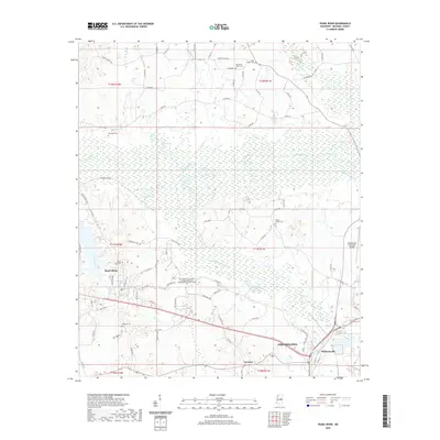
 2012 Pearl River2012 Print · USGSCovers Philadelphia, including Pearl River, Williamsville, and other nearby areas
 - 2015 Map of Philadelphia, 2015 Print
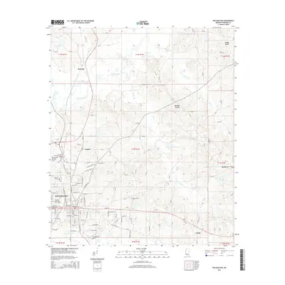 2015 Philadelphia2015 Print · USGSCovers Philadelphia, including Burnside, Sandtown, and other nearby areas
 - 2015 Map of Pearl River, 2015 Print
 2015 Pearl River2015 Print · USGSCovers Philadelphia, including Pearl River, Williamsville, and other nearby areas
 - 2015 Map of Deemer, 2015 Print
 2015 Deemer2015 Print · USGSCovers Philadelphia, including Bethsaida, Golden Grove, and other nearby areas
 - 2018 Map of Philadelphia, 2018 Print
 2018 Philadelphia2018 Print · USGSCovers Philadelphia, including Burnside, Sandtown, and other nearby areas
 - 2018 Map of Deemer, 2018 Print
 2018 Deemer2018 Print · USGSCovers Philadelphia, including Bethsaida, Golden Grove, and other nearby areas
 - 2018 Map of Pearl River, 2018 Print
 2018 Pearl River2018 Print · USGSCovers Philadelphia, including Pearl River, Williamsville, and other nearby areas
 - 2020 Map of Pearl River, 2020 Print
 2020 Pearl River2020 Print · USGSCovers Philadelphia, including Pearl River, Williamsville, and other nearby areas
 - 2020 Map of Deemer, 2020 Print
 2020 Deemer2020 Print · USGSCovers Philadelphia, including Bethsaida, Golden Grove, and other nearby areas
 - 2020 Map of Philadelphia, 2020 Print
 2020 Philadelphia2020 Print · USGSCovers Philadelphia, including Burnside, Sandtown, and other nearby areas
 - 2024 Map of Deemer, 2024 Print
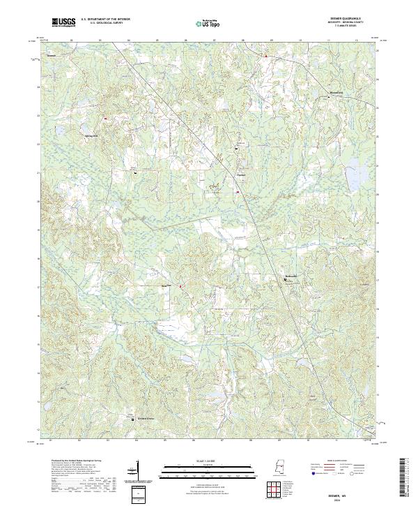 2024 Deemer2024 Print · USGSNeshoba County near the Choctaw Reservation is shown here in the 2020s, featuring a landscape of engineered drainage canals and rural hamlets. Family historians can locate several burial sites including Golden Grove Cem and Center Hill Cem, or trace the path of Coonshuck Canal.
 - 2024 Map of Pearl River, 2024 Print
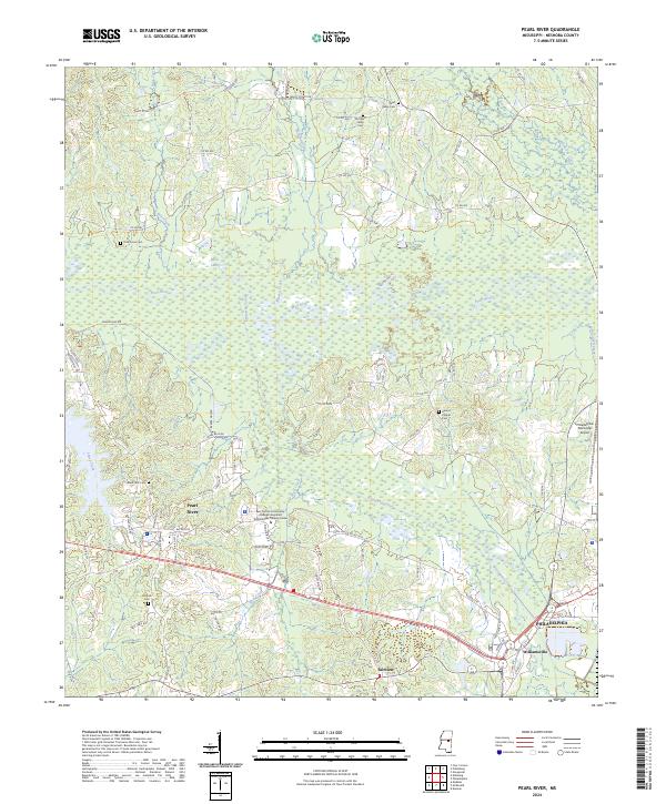 2024 Pearl River2024 Print · USGSThe community of Philadelphia and its surrounding Neshoba County landscape are detailed in this modern survey. Genealogists and local historians can trace rural burial sites such as McNeill Cem and landmarks like Marty Stuart Dr.
 - 2024 Map of Philadelphia, 2024 Print
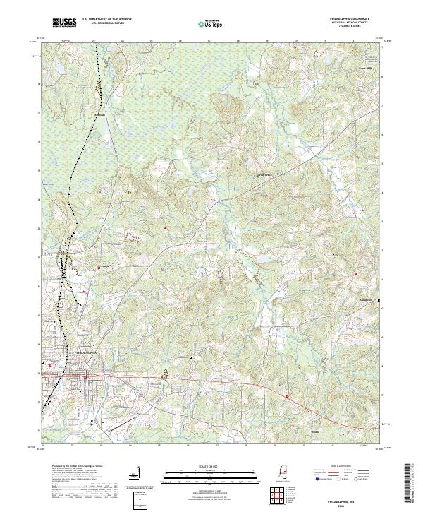 2024 Philadelphia2024 Print · USGSPhiladelphia and central Neshoba County appear in high detail during this contemporary era of Mississippi's development. Genealogists and local historians can locate many family burial sites like Jones Cem or trace the early river crossings at Ross Ferry.
End of results
Showing maps 1-23 of 23
Top cities near Philadelphia
- Nanih Waiya historical maps
- Pearl River historical maps
- Union historical maps
- Noxapater historical maps
Top neighborhoods of Philadelphia
Frequently asked questions
- What are the different types of historical maps available for Philadelphia?
- What is the oldest map of Philadelphia?
- Where can I purchase historical maps of Philadelphia for my home or office?
- Where can I download high-res historical maps of Philadelphia?
- Are there historical topographic maps available for Philadelphia?
- Is there historical aerial imagery available for Philadelphia?
- Where are historical maps of Philadelphia sourced from?