
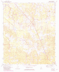
1972 Map of Deemer
USGS Topo · Published 1973About this map
Tucker and Blinker sit at the center of this rural Neshoba County landscape, where the local economy and geography are defined by a series of engineered watercourses. The drainage of the bottomlands is managed through the Cushtusia Canal and Coonshuck Canal, which cut straight lines through the winding creek beds. This network supported small farming communities and timber interests near Deemer and Bethsaida.
Find a feature on this map
30 named features on this map. Tap any name to fly to it.
Don’t see what you’re looking for? This feature index may not catch every label — zoom into the map to look around manually.
Map Details
Editions of this 1972 Deemer Map
2 editions found
Other maps of this area

1953 · Meridian
USGS Topo · 1:250,000

1957 · Meridian
USGS Topo · 1:250,000

1962 · House
USGS Topo · 1:24,000

1962 · Owl Creek
USGS Topo · 1:24,000

1962 · Post
USGS Topo · 1:24,000

1965 · Meridian
USGS Topo · 1:250,000

1972 · Pearl River
USGS Topo · 1:24,000

1972 · Union East
USGS Topo · 1:24,000
1972 · Philadelphia
USGS Topo · 1:24,000
1972 · McDonald
USGS Topo · 1:24,000