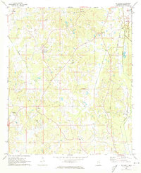
1972 Map of McDonald
USGS Topo · Published 1973About this map
McDonald and Linwood anchor the eastern landscape of Neshoba County in the early 1970s, a region defined by agricultural plots and rural congregational centers. Small settlements like Dixon and Coldwater are connected by a network of unimproved roads and secondary highways, with the Gulf Mobile and Ohio railroad corridor running north-to-south through the eastern edge. Local history is deeply etched into the terrain through numerous country churches and cemeteries, including St Paul Ch, Mt Carmel Ch, and the Morrow Memorial Cem.
Find a feature on this map
30 named features on this map. Tap any name to fly to it.
Don’t see what you’re looking for? This feature index may not catch every label — zoom into the map to look around manually.
Map Details
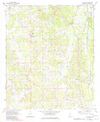
Editions of this 1972 McDonald Map
2 editions found
Other maps of this area

1953 · Meridian
USGS Topo · 1:250,000

1957 · Meridian
USGS Topo · 1:250,000

1962 · Edinburg
USGS Topo · 1:62,500

1965 · Meridian
USGS Topo · 1:250,000

1972 · Pearl River
USGS Topo · 1:24,000

1972 · Deemer
USGS Topo · 1:24,000

1972 · Union East
USGS Topo · 1:24,000
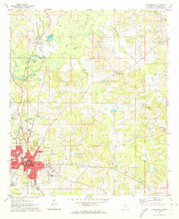
1972 · Philadelphia
USGS Topo · 1:24,000

1972 · Madden
USGS Topo · 1:24,000
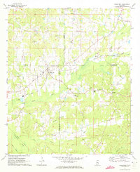
1972 · Sebastopol
USGS Topo · 1:24,000