1970s Maps of Noxubee County, Mississippi
Explore 12 historic maps of Noxubee County from the 1970s. These maps offer a rare glimpse into what life looked like during the 1970s — showing old roads, neighborhoods, homes, and landmarks that have changed or disappeared over time.
Whether you're researching your family's past, planning a metal detecting trip, or studying how Noxubee County's landscape evolved across the 1970s, these high-resolution maps are a powerful tool for exploring the history of this region.
- Focus on a specific era: All maps on this page are from the 1970s, giving you a focused view of this time period.
- See what’s changed: Compare century-old streets, trails, and buildings to today's modern landscape using overlays and satellite layers.
- Research with precision: Use these maps for genealogy, historical research, land use analysis, or educational projects.
- View, download, or print: Maps are fully viewable online in high resolution, and can be downloaded or printed for your own records.
Start exploring Noxubee County's history through authentic maps from the 1970s. This is your window into the past.
Noxubee County, MS maps
(12)- 1973 Map of Panola, 1975 Print
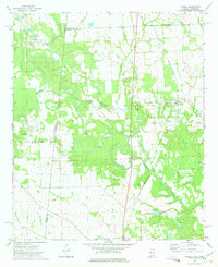 1973 Panola1975 Print · USGSThe borderlands of Alabama and Mississippi come into focus in the early seventies, centered on the Noxubee River bottoms. Researchers can trace family sites at Mt Tabor Ch Cem and St Marys Ch or follow the St Louis-San Francisco rail line.2 unique versions available
 - 1973 Map of Cliftonville, 1975 Print
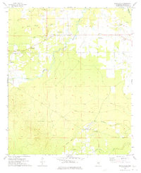
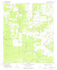
 1973 Cliftonville1975 Print · USGSNoxubee County was characterized by its quiet agricultural settlements and numerous rural congregations during the early 1970s. You can trace family roots through landmarks like South Haven Sch, the Deerbrook Lookout Tower, and churches like Drake Hill Ch.
 - 1973 Map of Fearns Springs, 1975 Print
 1973 Fearns Springs1975 Print · USGSWinston and Noxubee counties appear here in the early 1970s, a rural landscape defined by family settlements and an Old Railroad Grade. Genealogists can trace deep local roots at Hemphill Cem, Fearns Springs, and Little Member Ch.
 - 1973 Map of McLeod, 1975 Print
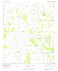
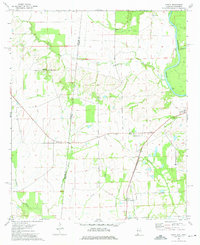
 1973 McLeod1975 Print · USGSNoxubee County was defined by its river-bottom geography and small agricultural crossroads in the early 1970s. Genealogists and local historians can trace family sites at St Michaels Cem and Prairie Ridge Cem or locate the old McLeod settlement.
 - 1973 Map of Brooksville, 1975 Print
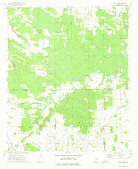
 1973 Brooksville1975 Print · USGSNoxubee County was centered on the rail-driven town of Brooksville during the early 1970s. Researchers can trace rural family roots through numerous sites like Tolliver Chapel, Halls Cem, and the Illinois Central Gulf rail line.2 unique versions available
 - 1973 Map of Barge Lake, 1975 Print
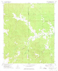
 1973 Barge Lake1975 Print · USGSWinston and Noxubee Counties are shown in the early seventies, a landscape defined by the wetlands of the Noxubee National Wildlife Refuge. Genealogists can locate family landmarks like Beth Cem, Conn Cem, and Antioch Ch.2 unique versions available
 - 1973 Map of Paulette, 1975 Print
 1973 Paulette1975 Print · USGSThe Noxubee and Kemper county line area in the early 1970s was a landscape of winding river bottoms and small family-named settlements. Researchers can trace the layout of rural communities like Paulette and Binnsville, or locate family burial grounds at Woodlawn Cem and Old Wahalak Cem.
 - 1973 Map of Mashulaville, 1975 Print
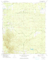
 1973 Mashulaville1975 Print · USGSMashulaville and its surrounding timberlands are documented in the early 1970s as a landscape of small rural congregations and winding creek bottoms. Researchers can trace the Old RR Grade and locate historic sites like Mt Moriah Ch and the Noxubee Lookout Tower.2 unique versions available
 - 1973 Map of Lynn Creek, 1975 Print
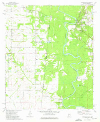
 1973 Lynn Creek1975 Print · USGSNoxubee County at the start of the seventies reveals a rural landscape shaped by the winding Noxubee River and the expansive Noxubee National Wildlife Refuge. Researchers can trace old family foundations and community hubs through several rural landmarks, including Popes Chapel, Mount Samuel Ch, and the Carpenter Cem.
 - 1973 Map of Macon, 1975 Print
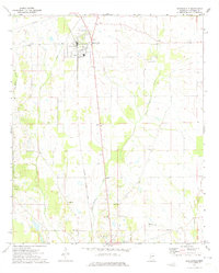
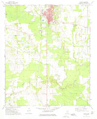 1973 Macon1975 Print · USGSMacon and the surrounding Noxubee County landscape are captured in the mid-seventies, centered on the winding Noxubee River and the Illinois Central Gulf railroad. Researchers can locate numerous country churches and schools like Salem Ch, Central Academy, and Zion Hill Ch.2 unique versions available
 - 1974 Map of Dancy, 1975 Print
 1974 Dancy1975 Print · USGSAcross the Alabama and Mississippi border in the mid-seventies, this area shows a landscape defined by the Tombigbee River and local rail lines. Genealogists can locate family sites near Dancy, Hebron Ch, and the St Louis-San Francisco railroad corridor.2 unique versions available
 - 1974 Map of Pickensville, 1975 Print
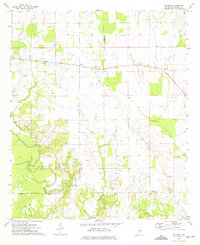
 1974 Pickensville1975 Print · USGSSettlement patterns along the Tombigbee River and the Mississippi-Alabama border are captured here in the mid-seventies. Trace local genealogy at Beebe Chapel, Pickensville Sch, and several community burial grounds like Lower Cem.2 unique versions available
End of results
Showing maps 1-12 of 12
Top cities of Noxubee County
Frequently asked questions
- What are the different types of historical maps available for Noxubee County?
- What is the oldest map of Noxubee County?
- Where can I purchase historical maps of Noxubee County for my home or office?
- Where can I download high-res historical maps of Noxubee County?
- Are there historical topographic maps available for Noxubee County?
- Is there historical aerial imagery available for Noxubee County?
- Where are historical maps of Noxubee County sourced from?