2020s Maps of Picayune, Mississippi
Explore 4 historic maps of Picayune from the 2020s. These maps offer a rare glimpse into what life looked like during the 2020s — showing old roads, neighborhoods, homes, and landmarks that have changed or disappeared over time.
Whether you're researching your family's past, planning a metal detecting trip, or studying how Picayune's landscape evolved across the 2020s, these high-resolution maps are a powerful tool for exploring the history of this region.
- Focus on a specific era: All maps on this page are from the 2020s, giving you a focused view of this time period.
- See what’s changed: Compare century-old streets, trails, and buildings to today's modern landscape using overlays and satellite layers.
- Research with precision: Use these maps for genealogy, historical research, land use analysis, or educational projects.
- View, download, or print: Maps are fully viewable online in high resolution, and can be downloaded or printed for your own records.
Start exploring Picayune's history through authentic maps from the 2020s. This is your window into the past.
Picayune, MS maps
(4)- 2020 Map of Picayune, 2020 Print
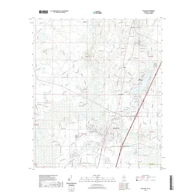 2020 Picayune2020 Print · USGSCovers Picayune, including Richardson, Ozona, and other nearby areas
 - 2021 Map of Nicholson, 2021 Print
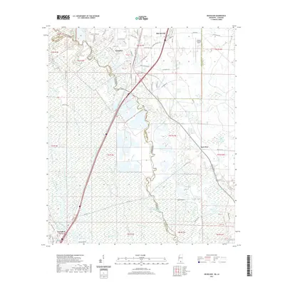 2021 Nicholson2021 Print · USGSCovers Picayune, including Pearl River, Santa Rosa, and other nearby areas
 - 2024 Map of Nicholson, 2024 Print
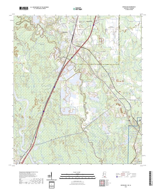 2024 Nicholson2024 Print · USGSThe Pearl River bottomlands come into focus in this contemporary survey of the Mississippi-Louisiana border. Genealogists and local historians can trace family roots through Turtleskin Cem, the historic site of Bings Ferry, and the vanished settlement of Santa Rosa.
 - 2024 Map of Picayune, 2024 Print
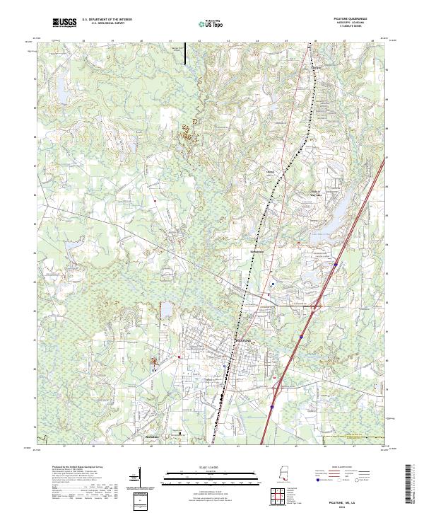 2024 Picayune2024 Print · USGSThe Pearl River County corridor comes alive in this modern survey of the piney woods during a period of sustained local growth. Researchers can trace family sites at Thigpen Cem or explore the residential layouts of Carriere, Ozona, and Hide-A-Way Lake.
End of results
Showing maps 1-4 of 4
Top cities near Picayune
Frequently asked questions
- What are the different types of historical maps available for Picayune?
- What is the oldest map of Picayune?
- Where can I purchase historical maps of Picayune for my home or office?
- Where can I download high-res historical maps of Picayune?
- Are there historical topographic maps available for Picayune?
- Is there historical aerial imagery available for Picayune?
- Where are historical maps of Picayune sourced from?