2020s Maps of Quitman County, Mississippi
Explore 28 historic maps of Quitman County from the 2020s. These maps offer a rare glimpse into what life looked like during the 2020s — showing old roads, neighborhoods, homes, and landmarks that have changed or disappeared over time.
Whether you're researching your family's past, planning a metal detecting trip, or studying how Quitman County's landscape evolved across the 2020s, these high-resolution maps are a powerful tool for exploring the history of this region.
- Focus on a specific era: All maps on this page are from the 2020s, giving you a focused view of this time period.
- See what’s changed: Compare century-old streets, trails, and buildings to today's modern landscape using overlays and satellite layers.
- Research with precision: Use these maps for genealogy, historical research, land use analysis, or educational projects.
- View, download, or print: Maps are fully viewable online in high resolution, and can be downloaded or printed for your own records.
Start exploring Quitman County's history through authentic maps from the 2020s. This is your window into the past.
Quitman County, MS maps
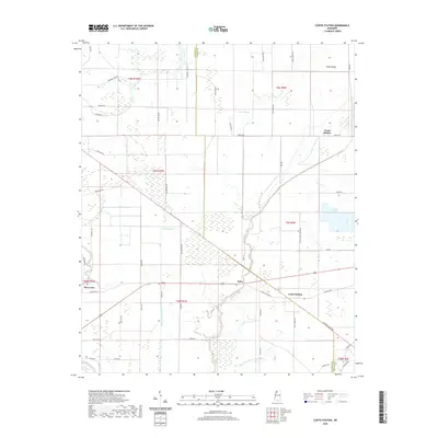
(28)- 2020 Map of Crowder, 2020 Print
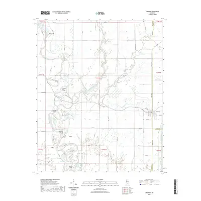 2020 Crowder2020 Print · USGSCovers Quitman County, including Mims, Allen, and other nearby areas
 - 2020 Map of Crenshaw North, 2020 Print
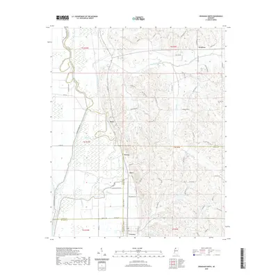 2020 Crenshaw North2020 Print · USGSCovers Quitman County, including KJirksey, Buxton, and other nearby areas
 - 2020 Map of Lula, 2020 Print
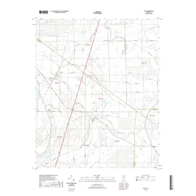 2020 Lula2020 Print · USGSCovers Quitman County, including Lula, Barbee, and other nearby areas
 - 2020 Map of Fishhook Lake, 2020 Print
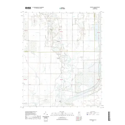 2020 Fishhook Lake2020 Print · USGSCovers Quitman County, including Tallahatchie County, United States, and other nearby areas
 - 2020 Map of Curtis Station, 2020 Print
 2020 Curtis Station2020 Print · USGSCovers Quitman County, including Riverview, Bobo, and other nearby areas
 - 2020 Map of Sabino, 2020 Print
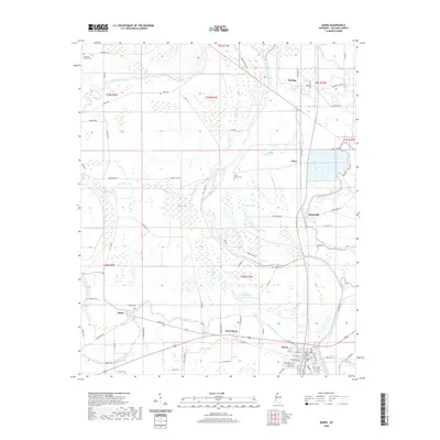
 2020 Sabino2020 Print · USGSCovers Quitman County, including Walnut, Sabino, and other nearby areas
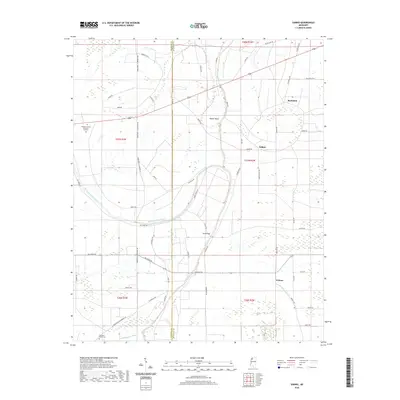
 - 2020 Map of Marks, 2020 Print
 2020 Marks2020 Print · USGSCovers Quitman County, including Marks, Hinchcliff, and other nearby areas
 - 2020 Map of Crenshaw South, 2020 Print
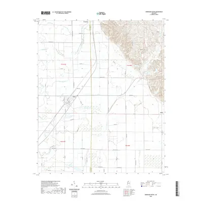 2020 Crenshaw South2020 Print · USGSCovers Quitman County, including Sledge, Falcon, and other nearby areas
 - 2020 Map of Vance, 2020 Print
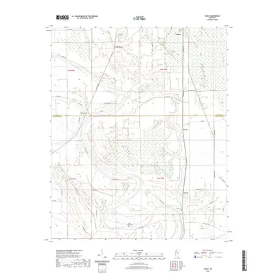 2020 Vance2020 Print · USGSCovers Quitman County, including Stover, Longstreet, and other nearby areas
 - 2020 Map of Falcon, 2020 Print
 2020 Falcon2020 Print · USGSCovers Quitman County, including Falcon, Tibbs, and other nearby areas
 - 2020 Map of Tutwiler, 2020 Print
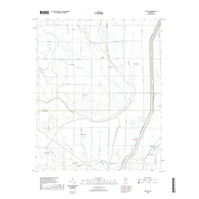
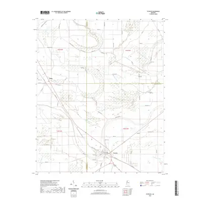 2020 Tutwiler2020 Print · USGSCovers Quitman County, including Tutwiler, Dublin, and other nearby areas
 - 2020 Map of Lambert, 2020 Print
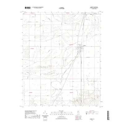 2020 Lambert2020 Print · USGSCovers Quitman County, including Marks, Lambert, and other nearby areas
 - 2020 Map of Jonestown, 2020 Print
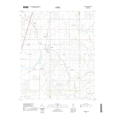 2020 Jonestown2020 Print · USGSCovers Quitman County, including Jonestown, Matagorda, and other nearby areas
 - 2020 Map of Walnut Lake, 2020 Print
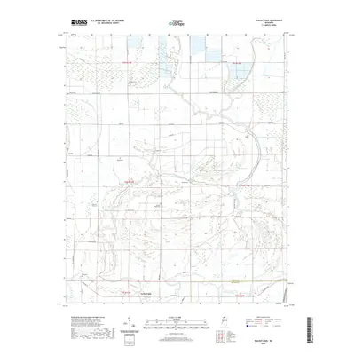 2020 Walnut Lake2020 Print · USGSCovers Quitman County, including Dubbs, Pink, and other nearby areas
 - 2024 Map of Lula, 2024 Print
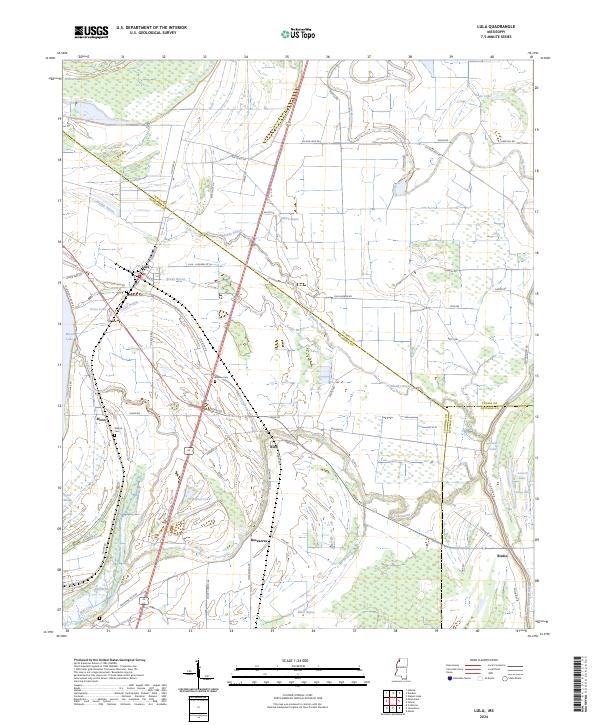 2024 Lula2024 Print · USGSThe Mississippi Delta near Lula is shown here in the 2020s, highlighting the enduring agricultural grid and river-fed bayous. Genealogists can trace local roots at Bethlehem Cem or Barbee Cem, and follow the historic Yazoo Pass through to Moon Lake.
 - 2024 Map of Curtis Station, 2024 Print
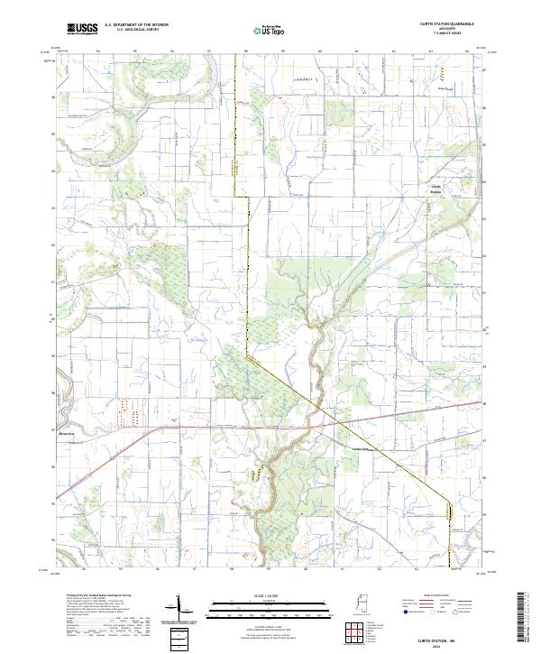 2024 Curtis Station2024 Print · USGSThe northern Mississippi Delta landscape comes into focus here, where the borders of Quitman and Panola counties meet amidst a network of bayous. Researchers can trace the drainage patterns of Viney Rough and the historical footprints of Curtis Station and Locke Station.
 - 2024 Map of Tutwiler, 2024 Print
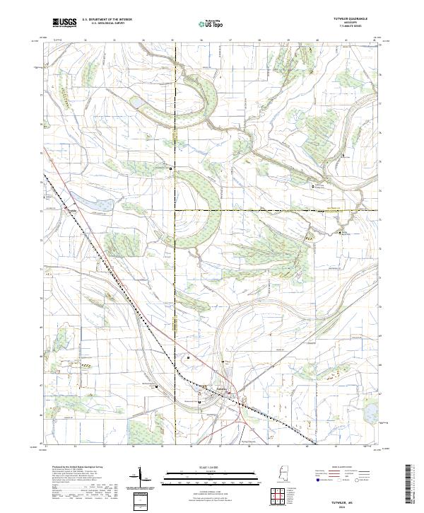 2024 Tutwiler2024 Print · USGSThe Delta lands around Tutwiler and Dublin are mapped here in the early twenty-first century, showing a landscape shaped by slow-moving waterways and long-standing rural communities. Genealogists can trace family connections through numerous sites like Rosemound Cem, Philadelphia Cem, and Whitfield Baptist Church.
 - 2024 Map of Vance, 2024 Print
 2024 Vance2024 Print · USGSThe Mississippi Delta's intricate network of bayous and rural crossroads are captured here in the early twenty-first century. Genealogists and local historians can trace family locations near Vance, Brazil, and several historic burial sites like Shady Grove Cem.
 - 2024 Map of Lambert, 2024 Print
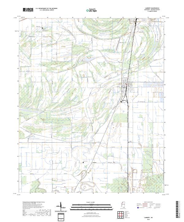 2024 Lambert2024 Print · USGSThe northern Mississippi Delta comes into focus in this recent survey of Quitman County agriculture and rural life. Genealogists can trace family roots through several local sites like Lambert Cem, Denton Cem, and the Sykes Chapel Cem.
 - 2024 Map of Sabino, 2024 Print
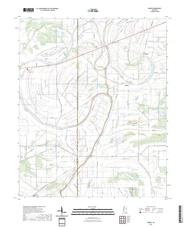 2024 Sabino2024 Print · USGSThe borderlands of Coahoma and Quitman Counties are mapped here in the early 2020s, showing a landscape defined by the shifting Mississippi Delta waterways. Trace local family history and rural geography through features like Sabino, Oxbow Bend, and Pleasant Valley Cem.
 - 2024 Map of Fishhook Lake, 2024 Print
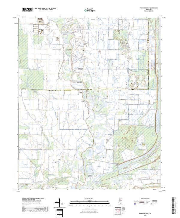 2024 Fishhook Lake2024 Print · USGSTallahatchie County's river bottoms and wetlands are captured here in the contemporary era, showing a landscape shaped by shifting waters. Researchers can trace land tracts near the New Macedonia Cem or explore the oxbows of Fishhook Lake and Yonkapin Lake.
 - 2024 Map of Crowder, 2024 Print
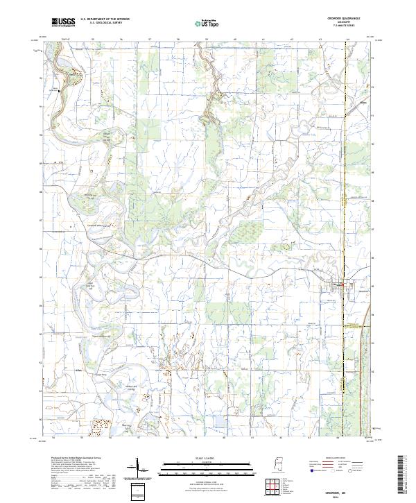 2024 Crowder2024 Print · USGSThe confluence of the Coldwater and Tallahatchie rivers defines this Mississippi Delta landscape in the modern era. Genealogists and local historians can trace the rural road network connecting Crowder and Mims to landmarks like Turner Ferry and Shady Grove Cem.
 - 2024 Map of Marks, 2024 Print
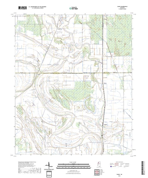
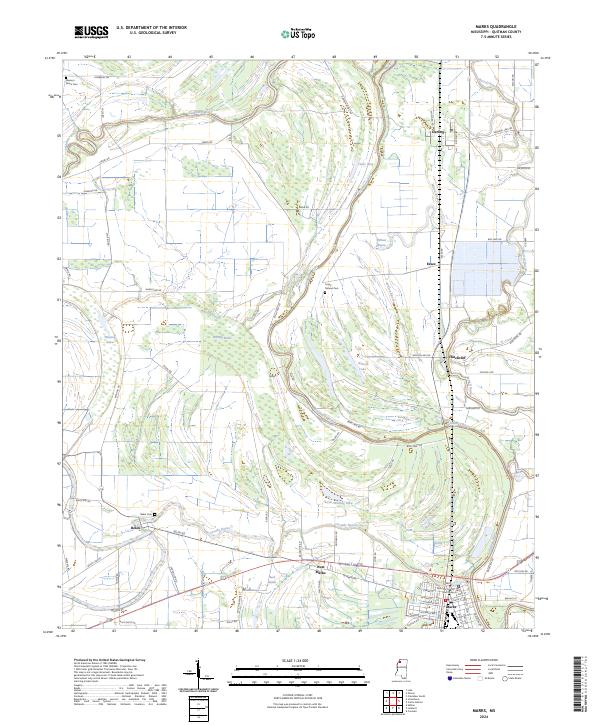 2024 Marks2024 Print · USGSThe Mississippi Delta's river-fed plains are recorded here in the mid-2020s, centered on the county seat at Marks. Researchers can trace local lineage through rural cemeteries like Belen Cem or locate the site of the Quitman County Courthouse.
 - 2024 Map of Jonestown, 2024 Print
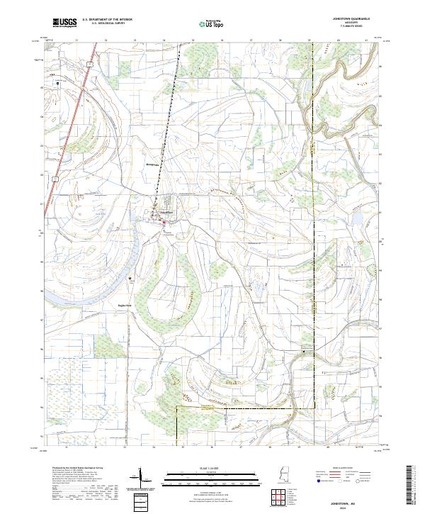 2024 Jonestown2024 Print · USGSThe Mississippi Delta around Jonestown is captured in the early 2020s, showing a landscape shaped by river remnants and agriculture. Genealogists can locate family sites like Alcorn Cem and Chrestman Cem or explore the rural layout of Matagorda and Eagles Nest.
 - 2024 Map of Crenshaw South, 2024 Print
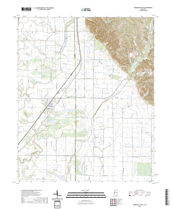 2024 Crenshaw South2024 Print · USGSThe Delta flatlands meet the eastern hills at the edge of the Mississippi Yazoo Basin in this recent survey. Local researchers can trace the street grid of Sledge, locate the Rogers Cem, and map the winding paths of Loggie Bayou and Chinquapin Brake.
Showing maps 1-25 of 28
Top cities of Quitman County
Frequently asked questions
- What are the different types of historical maps available for Quitman County?
- What is the oldest map of Quitman County?
- Where can I purchase historical maps of Quitman County for my home or office?
- Where can I download high-res historical maps of Quitman County?
- Are there historical topographic maps available for Quitman County?
- Is there historical aerial imagery available for Quitman County?
- Where are historical maps of Quitman County sourced from?