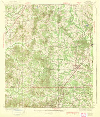
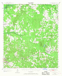
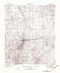
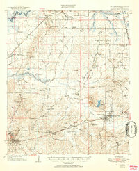
1900s (20th Century) Maps of Rankin County, Mississippi
Explore 58 historic maps of Rankin County from the 1900s (20th Century). These maps offer a rare glimpse into what life looked like during the 1900s — showing old roads, neighborhoods, homes, and landmarks that have changed or disappeared over time.
Whether you're researching your family's past, planning a metal detecting trip, or studying how Rankin County's landscape evolved across the 1900s, these high-resolution maps are a powerful tool for exploring the history of this region.
- Focus on a specific era: All maps on this page are from the 1900s, giving you a focused view of this time period.
- See what’s changed: Compare century-old streets, trails, and buildings to today's modern landscape using overlays and satellite layers.
- Research with precision: Use these maps for genealogy, historical research, land use analysis, or educational projects.
- View, download, or print: Maps are fully viewable online in high resolution, and can be downloaded or printed for your own records.
Start exploring Rankin County's history through authentic maps from the 1900s. This is your window into the past.
Rankin County, MS maps
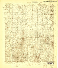
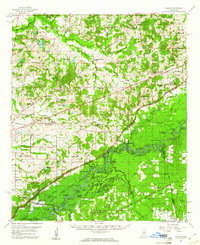
(58)- 1903 Map of Jackson
 1903 Jackson1903 Print · USGSCovers Rankin County, including Jackson, Clinton, and other nearby areas
 - 1905 Map of Jackson
 1905 Jackson1905 Print · USGSCovers Rankin County, including Jackson, Madison, and other nearby areas3 unique versions available
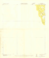
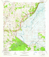
 - 1906 Map of Florence, 1965 Print
 1906 Florence1965 Print · USGSCovers Rankin County, including Jackson, Pearl, and other nearby areas
 - 1908 Map of Jackson
 1908 Jackson1908 Print · USGSCovers Rankin County, including Jackson, Madison, and other nearby areas2 unique versions available
 - 1908 Map of Florence
 1908 Florence1908 Print · USGSCovers Rankin County, including Jackson, Pearl, and other nearby areas2 unique versions available
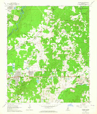
 - 1922 Map of Morton
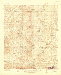
 1922 Morton1922 Print · USGSCovers Rankin County, including Forest, Morton, and other nearby areas
 - 1922 Map of Pelahatchee
 1922 Pelahatchee1922 Print · USGSCovers Rankin County, including Brandon, Flowood, and other nearby areas
 - 1924 Map of Pelahatchee
 1924 Pelahatchee1924 Print · USGSCovers Rankin County, including Brandon, Flowood, and other nearby areas
 - 1924 Map of Morton
 1924 Morton1924 Print · USGSCovers Rankin County, including Forest, Morton, and other nearby areas
 - 1935 Map of White Oak
 1935 White Oak1935 Print · USGSCovers Rankin County, including Heater, Galilee, and other nearby areas
 - 1937 Map of Terry
 1937 Terry1937 Print · USGSCovers Rankin County, including Jackson, Byram, and other nearby areas3 unique versions available
 - 1943 Map of Terry
 1943 Terry1943 Print · USGSCovers Rankin County, including Jackson, Byram, and other nearby areas2 unique versions available
 - 1950 Map of Pelahatchie, 1968 Print
 1950 Pelahatchie1968 Print · USGSCovers Rankin County, including Brandon, Flowood, and other nearby areas2 unique versions available
 - 1951 Map of Morton
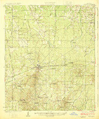
 1951 Morton1951 Print · USGSCovers Rankin County, including Forest, Morton, and other nearby areas3 unique versions available
 - 1952 Map of Pelahatchie
 1952 Pelahatchie1952 Print · USGSCovers Rankin County, including Brandon, Flowood, and other nearby areas
 - 1953 Map of Meridian, 1966 Print
 1953 Meridian1966 Print · USGSCovers Rankin County, including Meridian, Brandon, and other nearby areas2 unique versions available
 - 1955 Map of Jackson
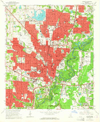
 1955 Jackson1955 Print · USGSCovers Rankin County, including Jackson, Monroe, and other nearby areas3 unique versions available
 - 1957 Map of Meridian
 1957 Meridian1957 Print · USGSCovers Rankin County, including Meridian, Brandon, and other nearby areas
 - 1960 Map of Sharon, 1961 Print
 1960 Sharon1961 Print · USGSCovers Rankin County, including Canton, Madisonville, and other nearby areas2 unique versions available
 - 1961 Map of Jackson
 1961 Jackson1961 Print · USGSCovers Rankin County, including Jackson, Monroe, and other nearby areas
 - 1962 Map of Jackson
 1962 Jackson1962 Print · USGSCovers Rankin County, including Jackson, Monroe, and other nearby areas2 unique versions available
 - 1963 Map of Madison, 1964 Print
 1963 Madison1964 Print · USGSCovers Rankin County, including Jackson, Madison, and other nearby areas3 unique versions available
 - 1963 Map of Jackson SE, 1964 Print
 1963 Jackson SE1964 Print · USGSCovers Rankin County, including Jackson, Pearl, and other nearby areas3 unique versions available
 - 1963 Map of Jackson, 1964 Print
 1963 Jackson1964 Print · USGSCovers Rankin County, including Jackson, Pearl, and other nearby areas3 unique versions available
 - 1965 Map of Meridian
 1965 Meridian1965 Print · USGSCovers Rankin County, including Meridian, Brandon, and other nearby areas
Showing maps 1-25 of 58
Top cities of Rankin County
- Pearl historical maps
- Brandon historical maps
- Flowood historical maps
- Richland historical maps
- Florence historical maps
- Pelahatchie historical maps
See more
Frequently asked questions
- What are the different types of historical maps available for Rankin County?
- What is the oldest map of Rankin County?
- Where can I purchase historical maps of Rankin County for my home or office?
- Where can I download high-res historical maps of Rankin County?
- Are there historical topographic maps available for Rankin County?
- Is there historical aerial imagery available for Rankin County?
- Where are historical maps of Rankin County sourced from?