2000s (21st Century) Maps of Rankin County, Mississippi
Explore 118 historic maps of Rankin County from the 2000s (21st Century). These maps offer a rare glimpse into what life looked like during the 2000s — showing old roads, neighborhoods, homes, and landmarks that have changed or disappeared over time.
Whether you're researching your family's past, planning a metal detecting trip, or studying how Rankin County's landscape evolved across the 2000s, these high-resolution maps are a powerful tool for exploring the history of this region.
- Focus on a specific era: All maps on this page are from the 2000s, giving you a focused view of this time period.
- See what’s changed: Compare century-old streets, trails, and buildings to today's modern landscape using overlays and satellite layers.
- Research with precision: Use these maps for genealogy, historical research, land use analysis, or educational projects.
- View, download, or print: Maps are fully viewable online in high resolution, and can be downloaded or printed for your own records.
Start exploring Rankin County's history through authentic maps from the 2000s. This is your window into the past.
Rankin County, MS maps
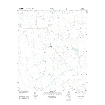
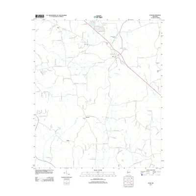
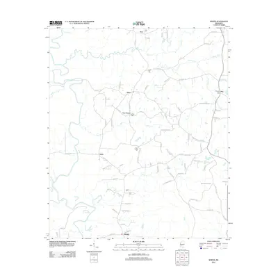
(118)- 2000 Map of White Oak, 2002 Print
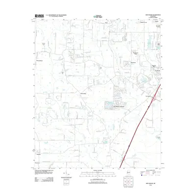
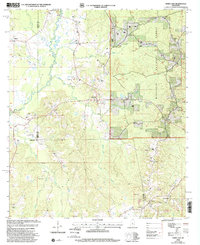 2000 White Oak2002 Print · USGSThe rural borderlands of Rankin, Simpson, and Smith Counties are captured here at the turn of the millennium. Researchers can trace family roots through numerous local landmarks, from White Oak and Heater to the Miley Cem and Merchant Ch.
 - 2000 Map of Polkville, 2002 Print
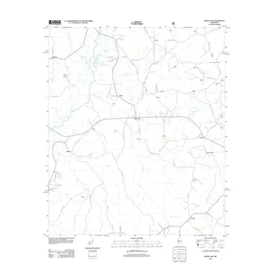
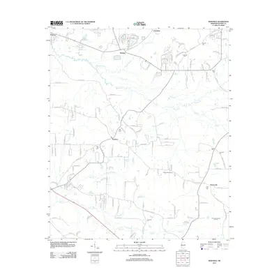
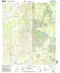 2000 Polkville2002 Print · USGSPolkville and the surrounding forest lands are captured here at the end of the twentieth century. Genealogists and local historians can trace family ties through landmarks like Polkville Cem, Homestead Ch, and the small settlement of Cooperville.
 - 2000 Map of Forkville, 2002 Print
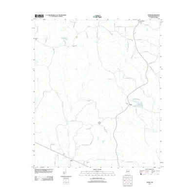
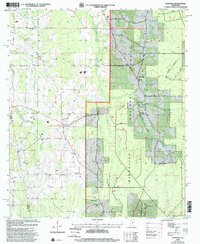 2000 Forkville2002 Print · USGSCentral Mississippi at the turn of the millennium reveals a landscape of small forest settlements and country churches. Researchers can trace family roots at Latham Cem or locate community hubs like Forkville and Line Prairie Ch.
 - 2012 Map of Leesburg, 2012 Print
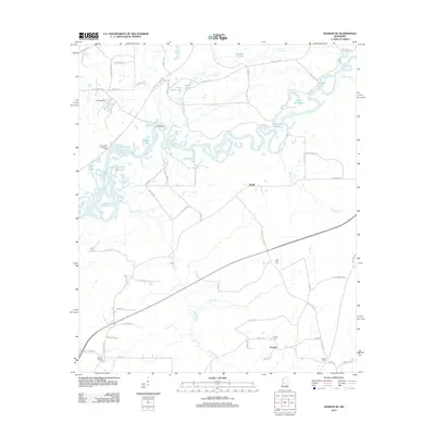
 2012 Leesburg2012 Print · USGSCovers Rankin County, including Bilbros Corner, West Leesburg, and other nearby areas
 - 2012 Map of Polkville, 2012 Print
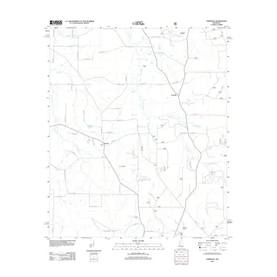
 2012 Polkville2012 Print · USGSCovers Rankin County, including Polkville, Cooperville, and other nearby areas
 - 2012 Map of White Oak, 2012 Print
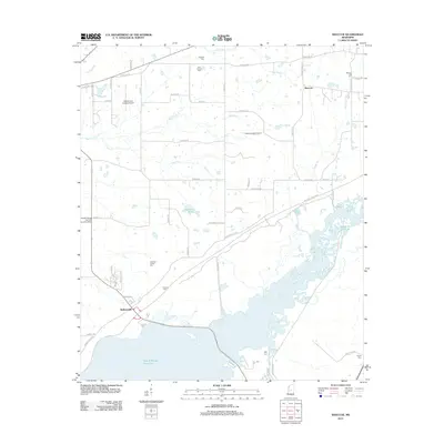
 2012 White Oak2012 Print · USGSCovers Rankin County, including Mayton, White Oak, and other nearby areas
 - 2012 Map of Johns, 2012 Print
 2012 Johns2012 Print · USGSCovers Rankin County, including Johns, Cross Roads, and other nearby areas
 - 2012 Map of Sharon SE, 2012 Print
 2012 Sharon SE2012 Print · USGSCovers Rankin County, including Eureka, Ratliff, and other nearby areas
 - 2012 Map of Puckett, 2012 Print
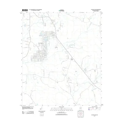
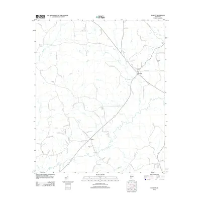 2012 Puckett2012 Print · USGSCovers Rankin County, including Puckett, Everett, and other nearby areas
 - 2012 Map of Forkville, 2012 Print
 2012 Forkville2012 Print · USGSCovers Rankin County, including Morton, Forkville, and other nearby areas
 - 2012 Map of Morton, 2012 Print
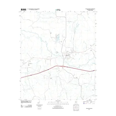
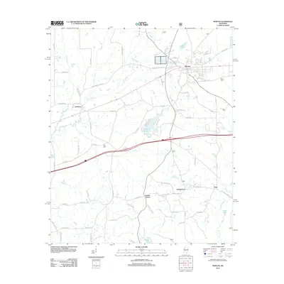 2012 Morton2012 Print · USGSCovers Rankin County, including Morton, Pelahatchie, and other nearby areas
 - 2012 Map of Madison, 2012 Print
 2012 Madison2012 Print · USGSCovers Rankin County, including Jackson, Madison, and other nearby areas
 - 2012 Map of Braxton, 2012 Print
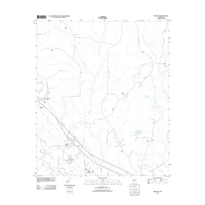 2012 Braxton2012 Print · USGSCovers Rankin County, including Braxton, Belpine, and other nearby areas
 - 2012 Map of Goshen Springs, 2012 Print
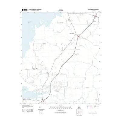 2012 Goshen Springs2012 Print · USGSCovers Rankin County, including Flowood, Sand Hill, and other nearby areas
 - 2012 Map of Star, 2012 Print
 2012 Star2012 Print · USGSCovers Rankin County, including Gama, Rexford, and other nearby areas
 - 2012 Map of Whitfield, 2012 Print
 2012 Whitfield2012 Print · USGSCovers Rankin County, including Pearl, Brandon, and other nearby areas
 - 2012 Map of Whites, 2012 Print
 2012 Whites2012 Print · USGSCovers Rankin County, including Whites, Clear Branch, and other nearby areas
 - 2012 Map of Shoccoe, 2012 Print
 2012 Shoccoe2012 Print · USGSCovers Rankin County, including Canton, Madisonville, and other nearby areas
 - 2012 Map of Terry, 2012 Print
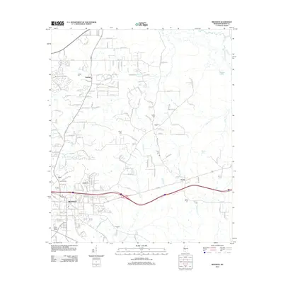
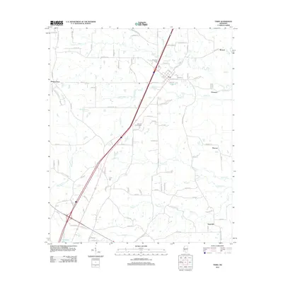 2012 Terry2012 Print · USGSCovers Rankin County, including Crystal Springs, Terry, and other nearby areas
 - 2012 Map of Pelahatchie, 2012 Print
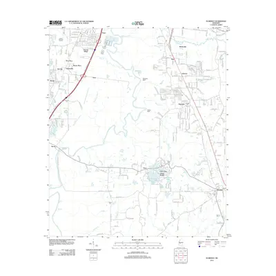
 2012 Pelahatchie2012 Print · USGSCovers Rankin County, including Pelahatchie, Gulde, and other nearby areas
 - 2012 Map of Puckett NW, 2012 Print
 2012 Puckett NW2012 Print · USGSCovers Rankin County, including Brandon, Rock Hill, and other nearby areas
 - 2012 Map of Florence, 2012 Print
 2012 Florence2012 Print · USGSCovers Rankin County, including Jackson, Pearl, and other nearby areas
 - 2012 Map of Brandon, 2012 Print
 2012 Brandon2012 Print · USGSCovers Rankin County, including Brandon, Flowood, and other nearby areas
 - 2012 Map of Jackson, 2012 Print
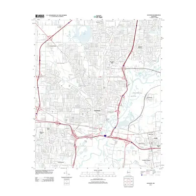 2012 Jackson2012 Print · USGSCovers Rankin County, including Jackson, Pearl, and other nearby areas
 - 2012 Map of New Byram, 2012 Print
 2012 New Byram2012 Print · USGSCovers Rankin County, including Jackson, Byram, and other nearby areas
Showing maps 1-25 of 118
Top cities of Rankin County
- Pearl historical maps
- Brandon historical maps
- Flowood historical maps
- Richland historical maps
- Florence historical maps
- Pelahatchie historical maps
See more
Frequently asked questions
- What are the different types of historical maps available for Rankin County?
- What is the oldest map of Rankin County?
- Where can I purchase historical maps of Rankin County for my home or office?
- Where can I download high-res historical maps of Rankin County?
- Are there historical topographic maps available for Rankin County?
- Is there historical aerial imagery available for Rankin County?
- Where are historical maps of Rankin County sourced from?