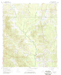
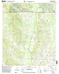
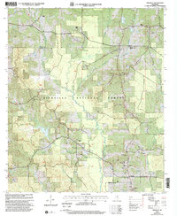
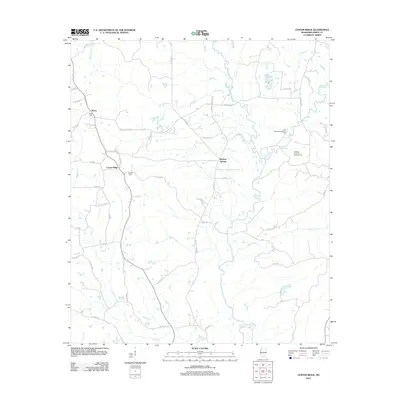
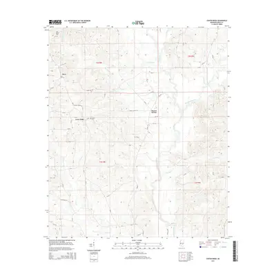
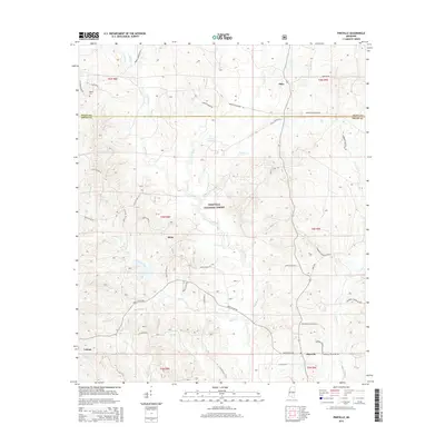
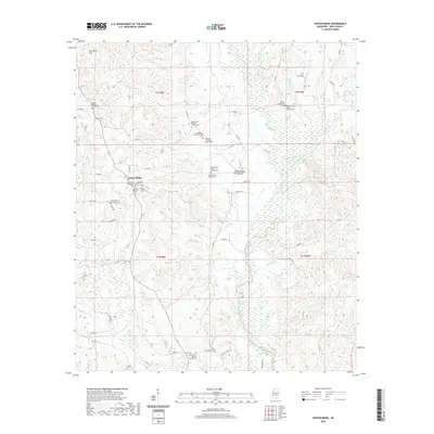
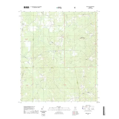
2000 Map of White Oak
USGS Topo · Published 2002About this map
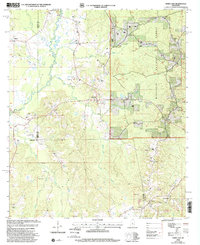
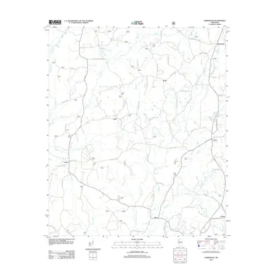
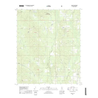
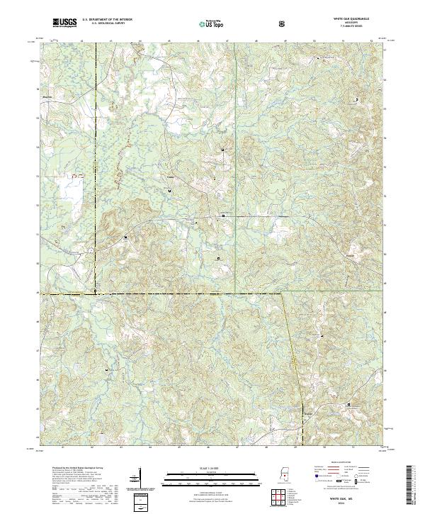
The Bienville National Forest dominates the eastern landscape of this Mississippi region, where the borders of Rankin, Simpson, and Smith Counties converge. This area is defined by a network of drainage systems including the Strong River and White Oak Creek, which have historically shaped the settlement patterns of rural communities like White Oak and Traxler. The map reveals a deeply rooted local history through its numerous family-named burial grounds and rural congregations, such as the Sardis Ch Cem and Rock Bluff Ch.
Find a feature on this map
33 named features on this map. Tap any name to fly to it.
Don’t see what you’re looking for? This feature index may not catch every label — zoom into the map to look around manually.
Map Details
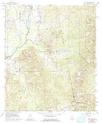
Editions of this 2000 White Oak Map
This is the sole edition of this map. No revisions or reprints were ever made.
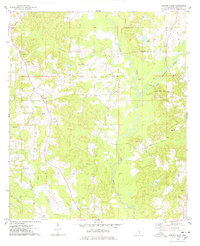
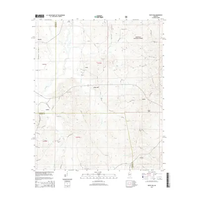
Historical Maps of Heater Through Time
41 maps found
1935 White Oak
Smith County, MS
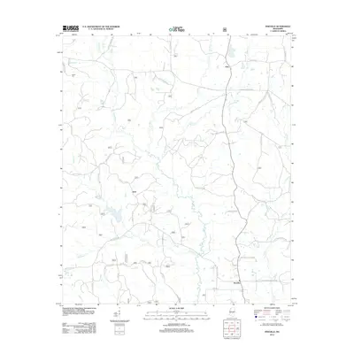
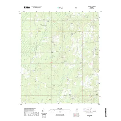
1968 Homewood
Smith County, MS
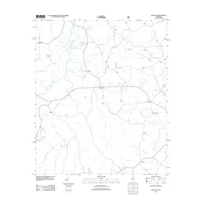
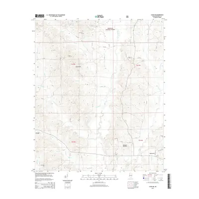
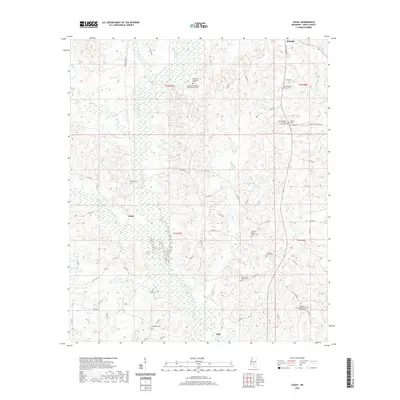
1968 Louin SW
Smith County, MS
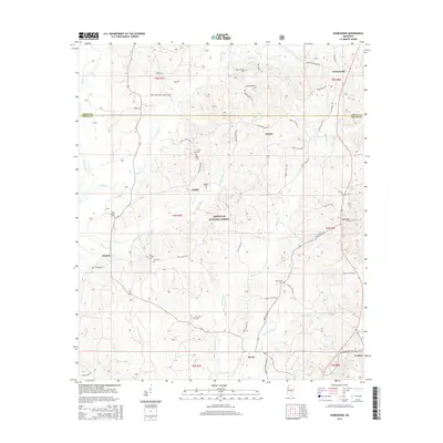
1968 Pineville
Smith County, MS
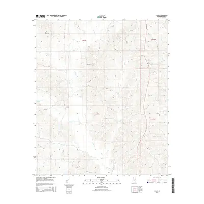
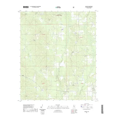
1968 White Oak
Smith County, MS
1975 Center Ridge
Smith County, MS

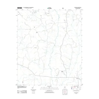
1975 Cohay
Smith County, MS
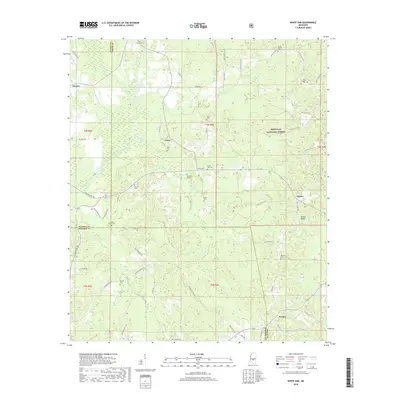
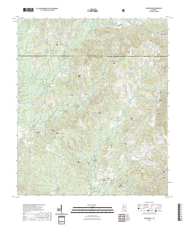
2000 Homewood
Smith County, MS
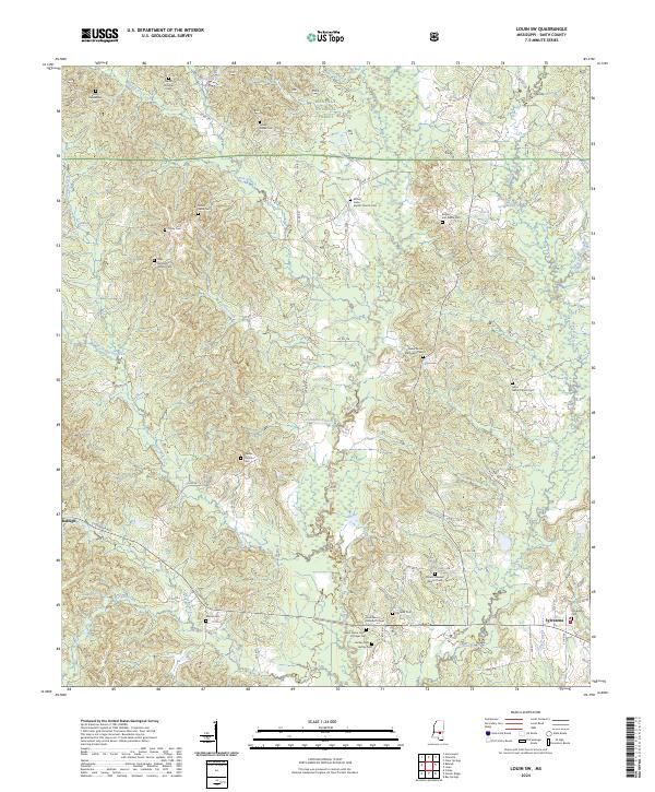
2000 Louin SW
Smith County, MS
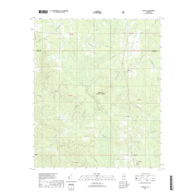
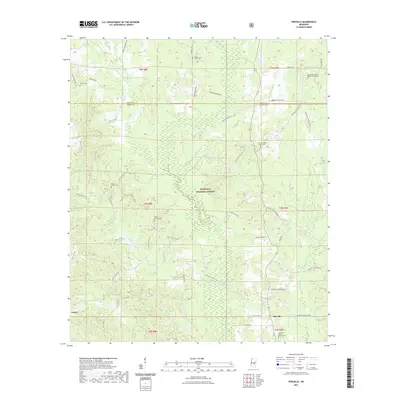
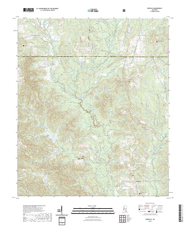
2000 Pineville
Smith County, MS
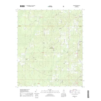
2000 White Oak
Smith County, MS
2012 Center Ridge
Smith County, MS
2012 Cohay
Smith County, MS
2012 Homewood
Smith County, MS
2012 Louin SW
Smith County, MS
2012 Pineville
Smith County, MS
2012 White Oak
Smith County, MS
2015 Center Ridge
Smith County, MS
2015 Cohay
Smith County, MS
2015 Homewood
Smith County, MS
2015 Louin SW
Smith County, MS
2015 Pineville
Smith County, MS
2015 White Oak
Smith County, MS
2018 Center Ridge
Smith County, MS
2018 Cohay
Smith County, MS
2018 Homewood
Smith County, MS
2018 Louin SW
Smith County, MS
2018 Pineville
Smith County, MS
2018 White Oak
Smith County, MS
2020 Center Ridge
Smith County, MS
2020 Cohay
Smith County, MS
2021 Homewood
Smith County, MS
2021 Louin SW
Smith County, MS
2021 Pineville
Smith County, MS
2021 White Oak
Smith County, MS
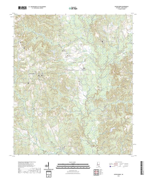
2024 Center Ridge
Smith County, MS
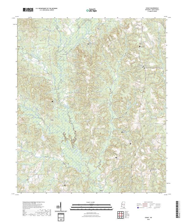
2024 Cohay
Smith County, MS
2024 Homewood
Smith County, MS
2024 Louin SW
Smith County, MS
2024 Pineville
Smith County, MS
2024 White Oak
Smith County, MS