2010s Maps of Rankin County, Mississippi
Explore 69 historic maps of Rankin County from the 2010s. These maps offer a rare glimpse into what life looked like during the 2010s — showing old roads, neighborhoods, homes, and landmarks that have changed or disappeared over time.
Whether you're researching your family's past, planning a metal detecting trip, or studying how Rankin County's landscape evolved across the 2010s, these high-resolution maps are a powerful tool for exploring the history of this region.
- Focus on a specific era: All maps on this page are from the 2010s, giving you a focused view of this time period.
- See what’s changed: Compare century-old streets, trails, and buildings to today's modern landscape using overlays and satellite layers.
- Research with precision: Use these maps for genealogy, historical research, land use analysis, or educational projects.
- View, download, or print: Maps are fully viewable online in high resolution, and can be downloaded or printed for your own records.
Start exploring Rankin County's history through authentic maps from the 2010s. This is your window into the past.
Rankin County, MS maps
(69)- 2012 Map of Leesburg, 2012 Print
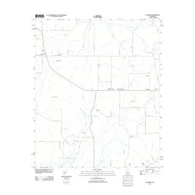 2012 Leesburg2012 Print · USGSRankin County in the early twenty-first century remains a landscape of open prairies and scattered crossroads settlements. Genealogists and local researchers can trace family landmarks like the Hollybush Cem, Neal Cem, and the old Choctaw Trl.
 - 2012 Map of Polkville, 2012 Print
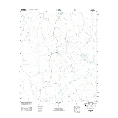 2012 Polkville2012 Print · USGSSmith County is shown during a period of established rural settlement and agriculture in the early twenty-first century. Genealogists and local historians can locate family-named landmarks like Haile Cem and Cooperville or trace the winding course of the Strong River.
 - 2012 Map of White Oak, 2012 Print
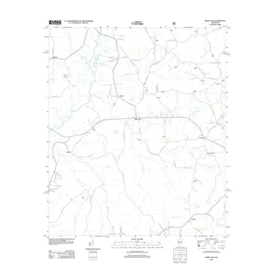 2012 White Oak2012 Print · USGSLife along the Strong River and its many tributaries is captured here in the early twenty-first century. Genealogists and local historians can trace family locations through numerous sites like Old Field Cem, Traxler, and the Puckett Oil and Gas Field.
 - 2012 Map of Johns, 2012 Print
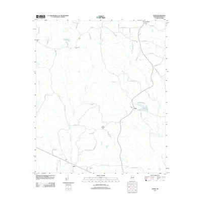 2012 Johns2012 Print · USGSRankin County at the start of the 2010s shows a landscape of timbered ridges and quiet rural junctions. Genealogists and local historians can trace family locations through numerous sites like Silverena Cem, Rufus, and the Shiloh Lookout Tower.
 - 2012 Map of Sharon SE, 2012 Print
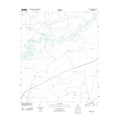 2012 Sharon SE2012 Print · USGSThe Pearl River bottomlands and the shores of the Reservoir define this Mississippi landscape during the early twenty-first century. Genealogists and local researchers can trace rural sites like Eureka, Ratliff, and family-oriented landmarks such as Eureka Cem or Lone Pine Cem.
 - 2012 Map of Puckett, 2012 Print
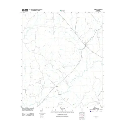 2012 Puckett2012 Print · USGSRankin County rural life is centered around the Puckett and Everett communities during the early twenty-first century. Researchers can trace family heritage through local landmarks like Puckett Cem, Ross Cem, and the river crossing at Floyd Bridge.
 - 2012 Map of Forkville, 2012 Print
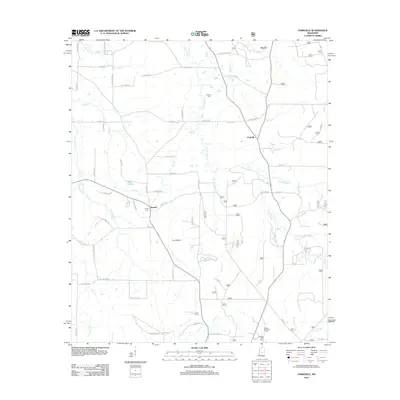 2012 Forkville2012 Print · USGSScott County near Morton is captured here in the early 2010s, showing a rural landscape woven together by winding creek bottoms and named prairies. Researchers can locate family landmarks such as Latham Cem and trace the paths of Coffee Bogue and Sugar Bogue through the settlements of Forkville and Branch.
 - 2012 Map of Morton, 2012 Print
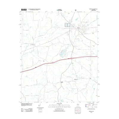 2012 Morton2012 Print · USGSScott County and the town of Morton are shown here in the early twenty-first century as the landscape transitioned between established rail corridors and modern highway networks. Researchers can pinpoint historical burial sites like Line Creek Cem and small settlements such as Kracker Station and Stage.
 - 2012 Map of Madison, 2012 Print
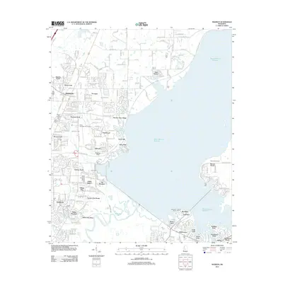 2012 Madison2012 Print · USGSMadison and the banks of the Ross R Barnett Reservoir are captured here during a period of rapid suburban development. Genealogists and local historians can locate numerous burial sites like Jessamine Cem and landmarks such as the Mount Charity Missionary Baptist Church.
 - 2012 Map of Braxton, 2012 Print
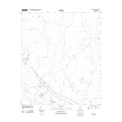 2012 Braxton2012 Print · USGSBraxton and its surrounding rural communities are captured here in the early twenty-first century, showing a landscape defined by small settlements and family history. Researchers can locate numerous local burial sites like Old Gum Springs Cem and Cato Cem, alongside landmarks like Piney Woods and the Cato Lookout Tower.
 - 2012 Map of Goshen Springs, 2012 Print
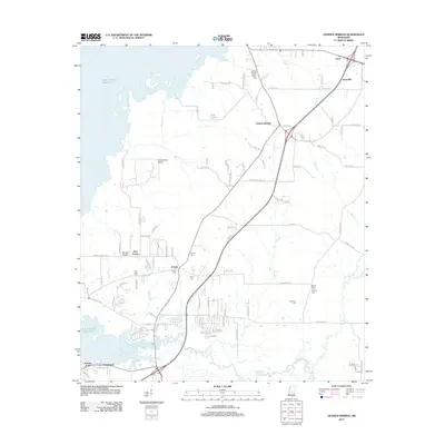 2012 Goshen Springs2012 Print · USGSIn the early twenty-first century, these Rankin County communities sit at the intersection of rural heritage and the expanding Ross R Barnett Reservoir. Genealogists can trace family lines through several local sites like Fannin Cem and the McLaurin Cem, while pilots can locate the small Woodbridge Airport.
 - 2012 Map of Star, 2012 Print
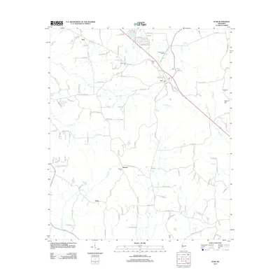 2012 Star2012 Print · USGSThe rural landscape around Simpson County comes into focus in the early 2010s, showing a network of small settlements and family cemeteries. Researchers can trace local roots at Rexford Cem, Middleton Field Cem, and the community of Anse.
 - 2012 Map of Whitfield, 2012 Print
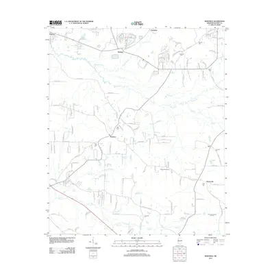 2012 Whitfield2012 Print · USGSRankin County enters a new era of growth in the early 2010s as suburban developments expand around Whitfield and Monterey. Family historians can trace numerous rural burial sites like Sandhill Cem or explore the Thomasville Oil and Gas Field.
 - 2012 Map of Whites, 2012 Print
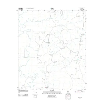 2012 Whites2012 Print · USGSRankin County rural life is preserved here in the early 2010s, showing a landscape defined by the Pearl River and quiet crossroads. Genealogists can trace family connections through numerous sites like Clear Branch Cem, Poplar Springs Cem, and Sinai Cem.
 - 2012 Map of Shoccoe, 2012 Print
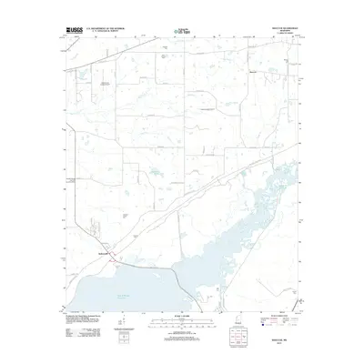 2012 Shoccoe2012 Print · USGSMadison County in the early twenty-first century is defined by the expansive northern reaches of the Ross R Barnett Reservoir. Researchers can trace old family sites and rural landmarks like the Galloway Family Cem and the historic Old Natchez Trce.
 - 2012 Map of Terry, 2012 Print
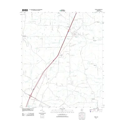 2012 Terry2012 Print · USGSThe town of Terry and its surrounding countryside are captured here in the early twenty-first century as a mix of evolving infrastructure and deep-rooted community landmarks. Researchers can trace family history at the Benevolent Society Cem or locate rural crossroads like Morgans Store and Egypt Hill.
 - 2012 Map of Pelahatchie, 2012 Print
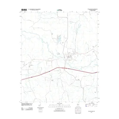 2012 Pelahatchie2012 Print · USGSRankin County's crossroads and rural communities are captured here during a period of modern expansion. Researchers can trace family history through numerous burial grounds like Little Zion Cem or locate local landmarks including Payne Airport and the Pelahatchie Oil Field.
 - 2012 Map of Puckett NW, 2012 Print
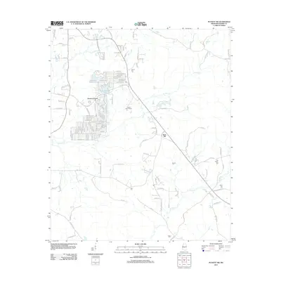 2012 Puckett NW2012 Print · USGSRankin County residential life and rural heritage are captured here in the early twenty-first century. Genealogists and local historians can trace family roots through numerous burial sites like Hebron Hill Cem or locate homes near Robinhood Lake.
 - 2012 Map of Florence, 2012 Print
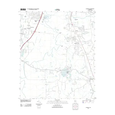 2012 Florence2012 Print · USGSThe Pearl River valley south of Jackson is captured here during a period of modern growth and suburban transition. Researchers can locate several historic burial sites like McGowen Cem and Smith Cem, or trace the waterfronts of Richmond Lake and Lake Mary.
 - 2012 Map of Brandon, 2012 Print
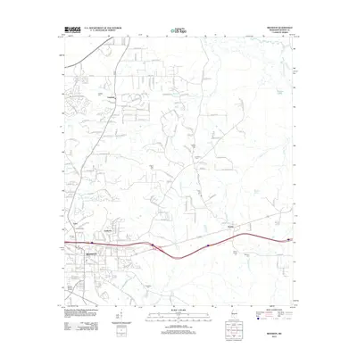 2012 Brandon2012 Print · USGSBrandon and its surrounding Rankin County communities are shown here during a period of modern suburban growth and infrastructure development. Researchers can locate many historical burial sites and transit points, including the Old Brandon Cemetery, Brandon Depot, and Pilgrim Rest Cemetery.
 - 2012 Map of Jackson, 2012 Print
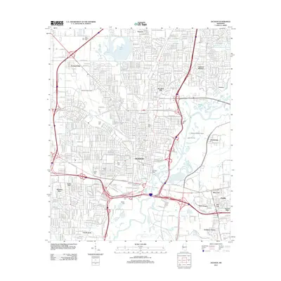 2012 Jackson2012 Print · USGSJackson and its surrounding suburbs are shown in a moment of modern growth along the Pearl River during the early 2010s. Genealogists and local historians can trace burial sites at Greenwood and Beth Israel, or locate old landmarks like Hawkins Field Airport and Bailey Hill.
 - 2012 Map of New Byram, 2012 Print
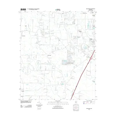 2012 New Byram2012 Print · USGSByram and the rural fringes of Hinds County are documented here in the early twenty-first century as suburban growth spreads south. Researchers can pinpoint Spring Ridge Cem, trace the waters of Wansley Bend, and locate the Raymond Lookout Tower among the wooded creek bottoms.
 - 2012 Map of Jackson SE, 2012 Print
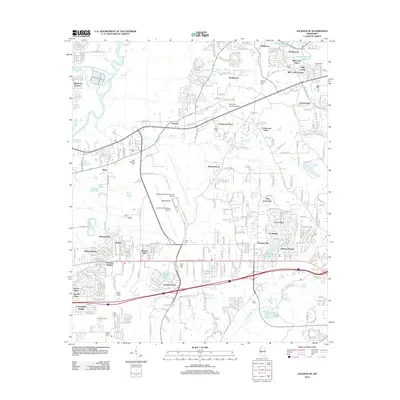 2012 Jackson SE2012 Print · USGSThe suburban landscape southeast of Jackson comes into sharp focus during this era of modern expansion and airport development. Genealogists and local historians can trace the placement of Saint Matthew Ch and several family-named landmarks like Drakes Cem and Flora Hills Cem.
 - 2015 Map of Forkville, 2015 Print
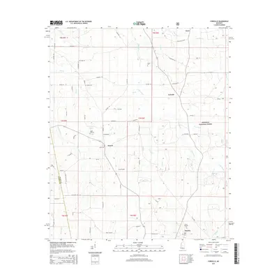 2015 Forkville2015 Print · USGSScott County rural life and the edges of the national forest are captured here in the mid-2010s. Genealogists and local historians can trace family road names and cemetery locations like Liberty Cem, Hodge Hill Cem, and the settlement of Forkville.
 - 2015 Map of Johns, 2015 Print
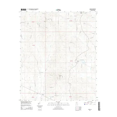 2015 Johns2015 Print · USGSRankin County at the dawn of the 21st century reveals a landscape of quiet family settlements and ancient landmarks. Genealogists and historians can trace local family lineages through Johns Cem, Silverena Cem, and the notable Indian Mound Hill.
Showing maps 1-25 of 69
Top cities of Rankin County
- Pearl historical maps
- Brandon historical maps
- Flowood historical maps
- Richland historical maps
- Florence historical maps
- Pelahatchie historical maps
See more
Frequently asked questions
- What are the different types of historical maps available for Rankin County?
- What is the oldest map of Rankin County?
- Where can I purchase historical maps of Rankin County for my home or office?
- Where can I download high-res historical maps of Rankin County?
- Are there historical topographic maps available for Rankin County?
- Is there historical aerial imagery available for Rankin County?
- Where are historical maps of Rankin County sourced from?