2020s Maps of Pelahatchie, Mississippi
Explore 6 historic maps of Pelahatchie from the 2020s. These maps offer a rare glimpse into what life looked like during the 2020s — showing old roads, neighborhoods, homes, and landmarks that have changed or disappeared over time.
Whether you're researching your family's past, planning a metal detecting trip, or studying how Pelahatchie's landscape evolved across the 2020s, these high-resolution maps are a powerful tool for exploring the history of this region.
- Focus on a specific era: All maps on this page are from the 2020s, giving you a focused view of this time period.
- See what’s changed: Compare century-old streets, trails, and buildings to today's modern landscape using overlays and satellite layers.
- Research with precision: Use these maps for genealogy, historical research, land use analysis, or educational projects.
- View, download, or print: Maps are fully viewable online in high resolution, and can be downloaded or printed for your own records.
Start exploring Pelahatchie's history through authentic maps from the 2020s. This is your window into the past.
Pelahatchie, MS maps
(6)- 2020 Map of Pelahatchie, 2020 Print
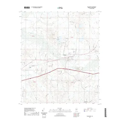 2020 Pelahatchie2020 Print · USGSCovers Pelahatchie, including Gulde, Rankin County, and other nearby areas
 - 2020 Map of Brandon, 2020 Print
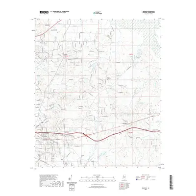 2020 Brandon2020 Print · USGSCovers Pelahatchie, including Brandon, Flowood, and other nearby areas
 - 2021 Map of Morton, 2021 Print
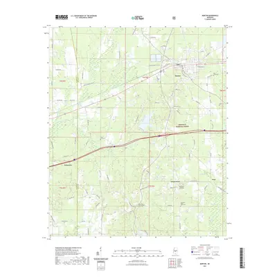 2021 Morton2021 Print · USGSCovers Pelahatchie, including Morton, Independence, and other nearby areas
 - 2024 Map of Morton, 2024 Print
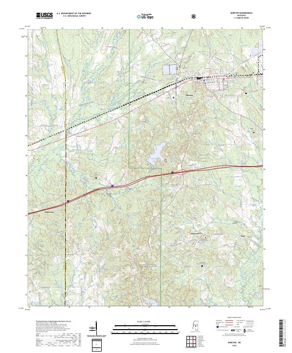 2024 Morton2024 Print · USGSMorton and the surrounding pine woods of the Bienville National Forest appear here in detail during the early 2020s. Genealogists can trace family connections through numerous sites like East Morton Cem, Walker Cem, and Line Creek Cem.
 - 2024 Map of Brandon, 2024 Print
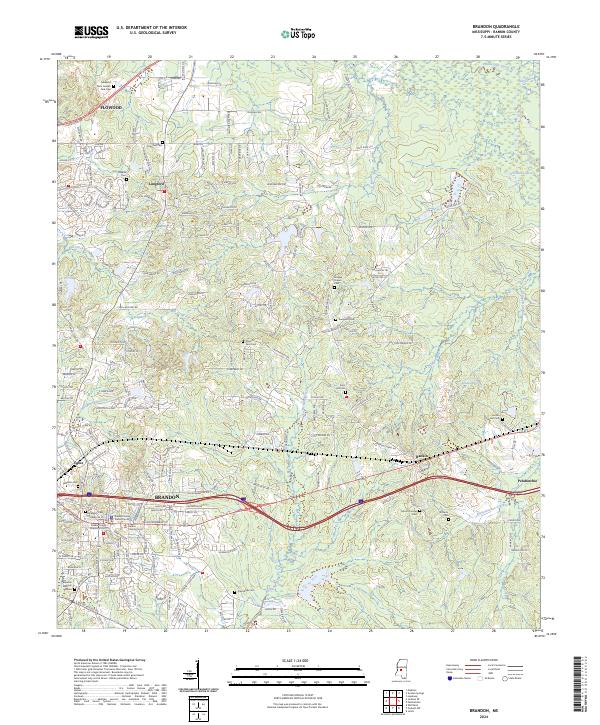 2024 Brandon2024 Print · USGSThe Rankin County seat and its eastern neighbors are documented in this contemporary survey of central Mississippi. Genealogists can locate family landmarks such as Old Brandon Cem, True Vine Cem, and the historic Andrew Chapel.
 - 2024 Map of Pelahatchie, 2024 Print
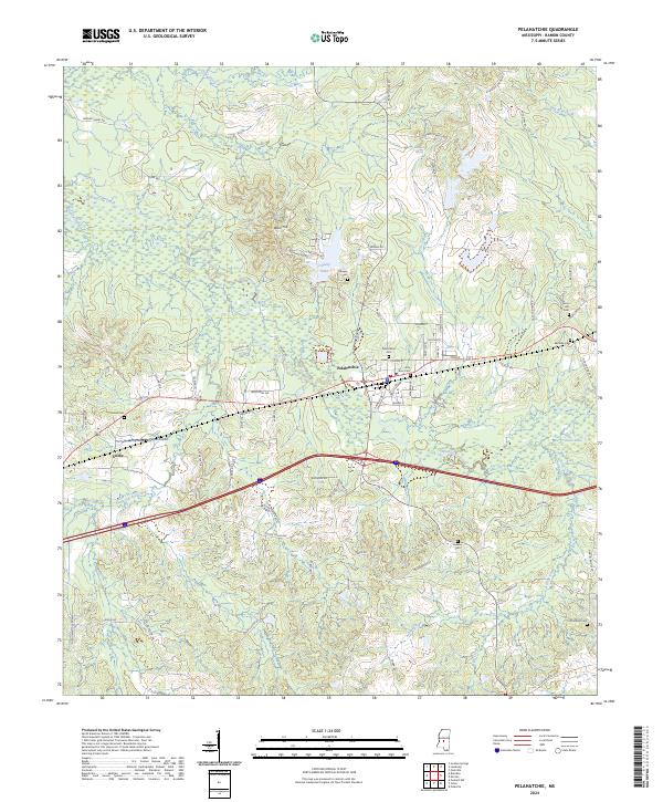 2024 Pelahatchie2024 Print · USGSPelahatchie and the surrounding Rankin County hills are shown in detail as they appear today, defined by creek valleys and a growing transport network. Researchers can locate family burial sites at Little Zion Cem and Gulde Cem or trace landmarks like Payne Airport.
End of results
Showing maps 1-6 of 6
Top cities near Pelahatchie
- Brandon historical maps
- Flowood historical maps
- Morton historical maps
- Puckett historical maps
- Polkville historical maps
Frequently asked questions
- What are the different types of historical maps available for Pelahatchie?
- What is the oldest map of Pelahatchie?
- Where can I purchase historical maps of Pelahatchie for my home or office?
- Where can I download high-res historical maps of Pelahatchie?
- Are there historical topographic maps available for Pelahatchie?
- Is there historical aerial imagery available for Pelahatchie?
- Where are historical maps of Pelahatchie sourced from?