Old Maps of Pelahatchie, Mississippi for Genealogy
Trace your family roots with 29 historic maps of Pelahatchie. These high-res maps reveal old neighborhoods, homesites, landmarks, and streets — helping you uncover where your ancestors lived and how the area evolved over time.
- Explore historic neighborhoods: Identify where your relatives may have lived in the 1800s or 1900s.
- Compare maps over time: Trace the changes in streets, buildings, and landmarks for multi-generational research.
- Perfect for genealogy & ancestry research: Used by family historians and researchers to map out lineage and migration.
These maps are an incredible resource for exploring your personal connection to Pelahatchie's past.
Pelahatchie, MS maps
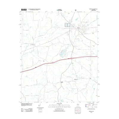
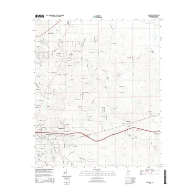
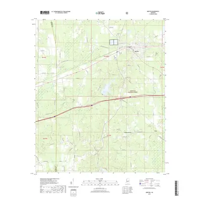
(29)- 1922 Map of Morton
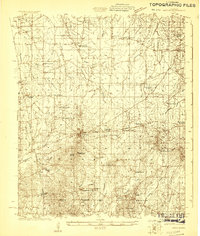 1922 Morton1922 Print · USGSScott County in the early twenties is a landscape of rural schoolhouses and timber operations centered on the Morton rail line. Researchers can locate vanished community landmarks like the Scott County Fair Grounds, Lumber Camp, and several family-named churches.
 - 1922 Map of Pelahatchee
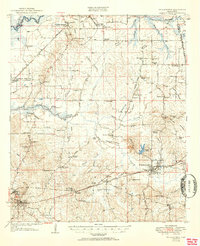
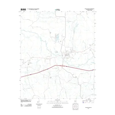
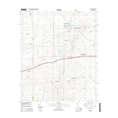
 1922 Pelahatchee1922 Print · USGSRankin County during the early 1920s reveals a landscape of dispersed agricultural communities and transit corridors. You can trace the roots of local settlements at Sand Hill and Leesburg, or locate family landmarks like Pisgah School and St Helen Church.
 - 1924 Map of Pelahatchee
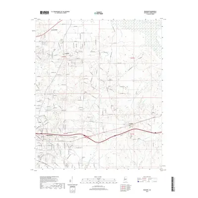
 1924 Pelahatchee1924 Print · USGSRankin County in the 1920s is a landscape of rural schoolhouses and family-named prairies centered on the vital Alabama and Vicksburg RR. Researchers can trace the heritage of local communities through landmarks like the Brandon depot, Trickum Bridge, and Goshen Springs.
 - 1924 Map of Morton
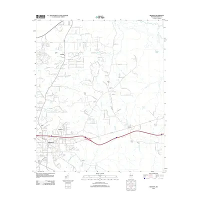
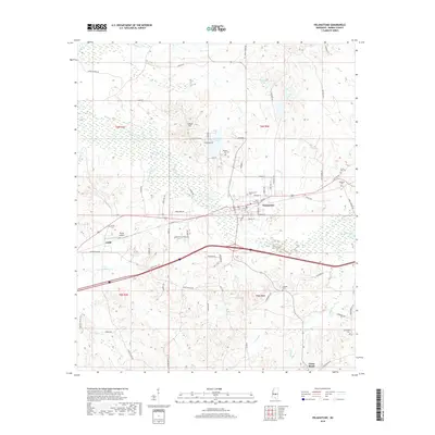
 1924 Morton1924 Print · USGSThe rail-and-timber landscape of Scott and Rankin counties is captured here in the early twenties. Researchers can trace rural life through dozens of named landmarks like Peagler Store, Morton, and the Sprous Cemetery.
 - 1950 Map of Pelahatchie, 1968 Print
 1950 Pelahatchie1968 Print · USGSRankin County's rural landscape is captured here at mid-century, from the busy rails of Brandon to the quiet reaches of Goshen Springs. Researchers can trace old family names at Andrews Chapel, St Helens Ch, or the Spring Hill Cem while following the historic Choctaw Treaty Line of 1820.2 unique versions available
 - 1951 Map of Morton
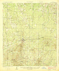
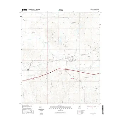
 1951 Morton1951 Print · USGSMid-century Scott and Rankin counties are mapped here just as the modern highway system began to overshadow the rail era. Genealogists can locate family landmarks like Peagler Store and numerous rural sites such as Simmons Grove Ch and Latham Cem.3 unique versions available
 - 1952 Map of Pelahatchie
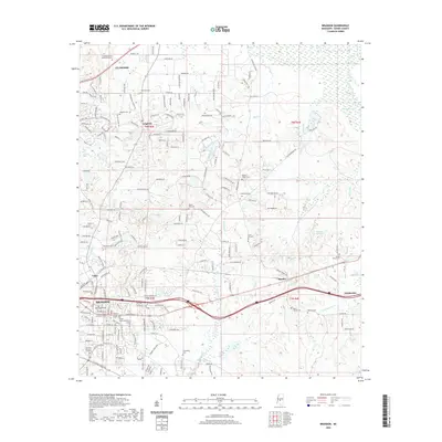
 1952 Pelahatchie1952 Print · USGSRankin County during the early 1950s shows a landscape still defined by its nineteenth-century boundaries and growing rail hubs. Genealogists and historians can trace family locations near Goshen Springs, the Choctaw Treaty Line of 1820, and Andrews Chapel.
 - 1953 Map of Meridian, 1966 Print
 1953 Meridian1966 Print · USGSEast Central Mississippi and the Alabama borderlands are captured here during a period of steady growth and infrastructure expansion. Genealogists and historians can trace rail-town development along the Gulf Mobile & Ohio Railroad and find early settlements like Scooba, Pelahatchie, and De Kalb.2 unique versions available
 - 1957 Map of Meridian
 1957 Meridian1957 Print · USGSEast Central Mississippi and parts of Western Alabama come alive in the mid-1950s, centered on the transit hub of Meridian. Researchers can trace old rail lines like the Illinois Central and find historic sites such as the Choctaw Indian Reservation and Roosevelt State Park.
 - 1965 Map of Meridian
 1965 Meridian1965 Print · USGSEast Mississippi and West Alabama are mapped here in the mid-sixties as the region's modern highway and reservoir systems began to take shape. Researchers can trace rural lineages through local landmarks like Prince Chapel and Tuscahoma Landing, or follow the historic Gulf Mobile & Ohio rail lines.
 - 1982 Map of Morton, 1983 Print
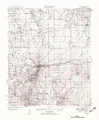
 1982 Morton1983 Print · USGSThe town of Morton and its surrounding timberlands are captured in the early eighties, showing a community defined by its rail access and proximity to the national forest. Trace local roots through a wealth of rural landmarks like Kracker Station, Walker Cem, and the Indian Treaty Boundary.2 unique versions available
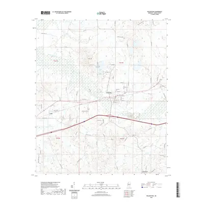
 - 1982 Map of Pelahatchie, 1983 Print
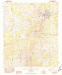
 1982 Pelahatchie1983 Print · USGSPelahatchie and the rural stretches of Rankin County are captured here in the early eighties as the railroad still anchored the local economy. Researchers can trace family roots through numerous country landmarks like Rawls Chapel, Reagan Cem, and the small settlement of Gulde.
 - 1982 Map of Brandon, 1983 Print
 1982 Brandon1983 Print · USGSRankin County enters the early eighties with the bustling town of Brandon anchored by the Illinois Central Gulf rail line. Genealogists and researchers can trace numerous local landmarks including Langford, True Vine Ch, and Andrew Chapel Cem.
 - 1984 Map of Forest
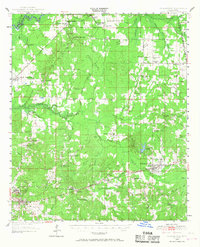
 1984 Forest1984 Print · USGSCentral Mississippi in the mid-eighties centers on the timberlands and rail corridors of the Bienville National Forest. Genealogists and historians can trace old settlements like Conehatta and Hillsboro or follow the Illinois Central Gulf line through Morton and Newton.2 unique versions available
 - 2012 Map of Morton, 2012 Print
 2012 Morton2012 Print · USGSCovers Pelahatchie, including Morton, Independence, and other nearby areas
 - 2012 Map of Pelahatchie, 2012 Print
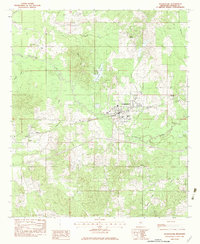
 2012 Pelahatchie2012 Print · USGSCovers Pelahatchie, including Gulde, Rankin County, and other nearby areas
 - 2012 Map of Brandon, 2012 Print
 2012 Brandon2012 Print · USGSCovers Pelahatchie, including Brandon, Flowood, and other nearby areas
 - 2015 Map of Pelahatchie, 2015 Print
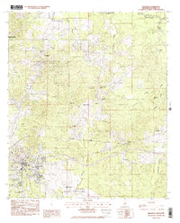
 2015 Pelahatchie2015 Print · USGSCovers Pelahatchie, including Gulde, Rankin County, and other nearby areas
 - 2015 Map of Brandon, 2015 Print
 2015 Brandon2015 Print · USGSCovers Pelahatchie, including Brandon, Flowood, and other nearby areas
 - 2015 Map of Morton, 2015 Print
 2015 Morton2015 Print · USGSCovers Pelahatchie, including Morton, Independence, and other nearby areas
 - 2018 Map of Brandon, 2018 Print
 2018 Brandon2018 Print · USGSCovers Pelahatchie, including Brandon, Flowood, and other nearby areas
 - 2018 Map of Pelahatchie, 2018 Print
 2018 Pelahatchie2018 Print · USGSCovers Pelahatchie, including Gulde, Rankin County, and other nearby areas
 - 2018 Map of Morton, 2018 Print
 2018 Morton2018 Print · USGSCovers Pelahatchie, including Morton, Independence, and other nearby areas
 - 2020 Map of Pelahatchie, 2020 Print
 2020 Pelahatchie2020 Print · USGSCovers Pelahatchie, including Gulde, Rankin County, and other nearby areas
 - 2020 Map of Brandon, 2020 Print
 2020 Brandon2020 Print · USGSCovers Pelahatchie, including Brandon, Flowood, and other nearby areas
Showing maps 1-25 of 29
Top cities near Pelahatchie
- Brandon historical maps
- Flowood historical maps
- Morton historical maps
- Puckett historical maps
- Polkville historical maps
Frequently asked questions
- What are the different types of historical maps available for Pelahatchie?
- What is the oldest map of Pelahatchie?
- Where can I purchase historical maps of Pelahatchie for my home or office?
- Where can I download high-res historical maps of Pelahatchie?
- Are there historical topographic maps available for Pelahatchie?
- Is there historical aerial imagery available for Pelahatchie?
- Where are historical maps of Pelahatchie sourced from?