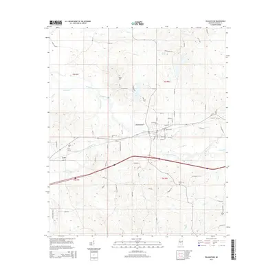
2015 Map of Pelahatchie
USGS Topo · Published 2015About this map
Pelahatchie serves as the central hub of this Rankin County landscape, situated at the crossroads of rail and road infrastructure. The town's grid is bounded by Pelahatchie Creek to the south and County Lake to the north, showing a clear intersection of municipal development and the natural watercourses that define the region. To the west, the smaller settlement of Gulde is situated near Payne Airport, reflecting the area's mid-century aviation history. This survey is particularly valuable for genealogists, as it identifies numerous family and community burial grounds scattered across the townships, including Reagan Cem, Lodebar Cem, and Thornhill Cem. The topography is marked by significant elevations like Ware Hill, which rises above the surrounding basin of Eutacutachee Cr and Ashlog Cr. The mapping of local thoroughfares such as Noblin Bridge RD and Old Us 80 provides a detailed look at the rural transportation network connecting these Mississippi communities.
Find a feature on this map
79 named features on this map. Tap any name to fly to it.
Don’t see what you’re looking for? This feature index may not catch every label — zoom into the map to look around manually.
Map Details
Editions of this 2015 Pelahatchie Map
This is the sole edition of this map. No revisions or reprints were ever made.
Other maps of this area

1922 · Morton
USGS Topo · 1:48,000

1922 · Pelahatchee
USGS Topo · 1:48,000

1924 · Pelahatchee
USGS Topo · 1:62,500

1924 · Morton
USGS Topo · 1:62,500

1950 · Pelahatchie
USGS Topo · 1:62,500

1951 · Morton
USGS Topo · 1:62,500

1952 · Pelahatchie
USGS Topo · 1:62,500

1953 · Meridian
USGS Topo · 1:250,000

1957 · Meridian
USGS Topo · 1:250,000

1965 · Meridian
USGS Topo · 1:250,000