2020s Maps of Sharkey County, Mississippi
Explore 24 historic maps of Sharkey County from the 2020s. These maps offer a rare glimpse into what life looked like during the 2020s — showing old roads, neighborhoods, homes, and landmarks that have changed or disappeared over time.
Whether you're researching your family's past, planning a metal detecting trip, or studying how Sharkey County's landscape evolved across the 2020s, these high-resolution maps are a powerful tool for exploring the history of this region.
- Focus on a specific era: All maps on this page are from the 2020s, giving you a focused view of this time period.
- See what’s changed: Compare century-old streets, trails, and buildings to today's modern landscape using overlays and satellite layers.
- Research with precision: Use these maps for genealogy, historical research, land use analysis, or educational projects.
- View, download, or print: Maps are fully viewable online in high resolution, and can be downloaded or printed for your own records.
Start exploring Sharkey County's history through authentic maps from the 2020s. This is your window into the past.
Sharkey County, MS maps
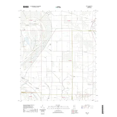
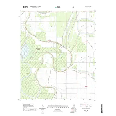
(24)- 2020 Map of Cary, 2020 Print
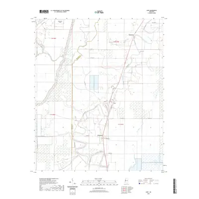 2020 Cary2020 Print · USGSCovers Sharkey County, including Cary, Issaquena, and other nearby areas
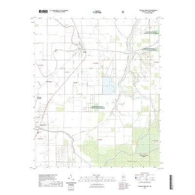
 - 2020 Map of Rolling Fork West, 2020 Print
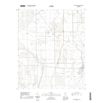 2020 Rolling Fork West2020 Print · USGSCovers Sharkey County, including Rolling Fork, Lorenzen, and other nearby areas
 - 2020 Map of Onward, 2020 Print
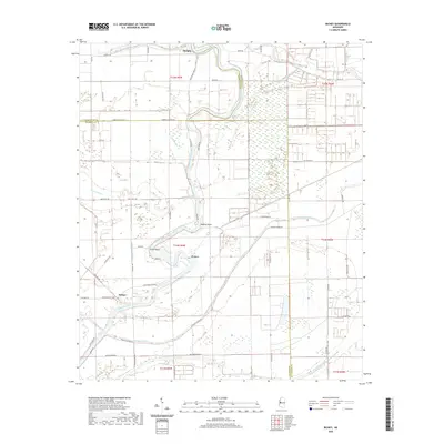
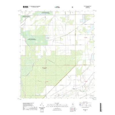
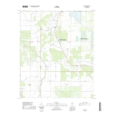 2020 Onward2020 Print · USGSCovers Sharkey County, including Kelso, Blanton, and other nearby areas
 - 2020 Map of Delta City, 2020 Print
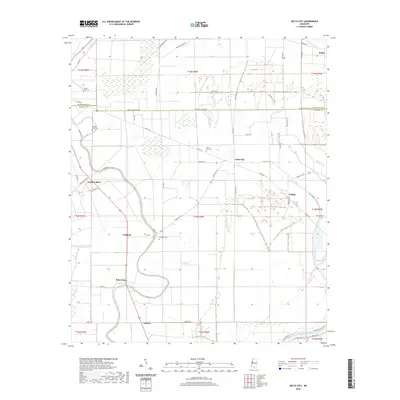 2020 Delta City2020 Print · USGSCovers Sharkey County, including Updike, Cameta, and other nearby areas
 - 2020 Map of Percy, 2020 Print
 2020 Percy2020 Print · USGSCovers Sharkey County, including Percy, Woodside, and other nearby areas
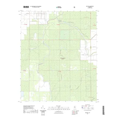
 - 2020 Map of Richey, 2020 Print
 2020 Richey2020 Print · USGSCovers Sharkey County, including Murphy, Bommers, and other nearby areas
 - 2021 Map of Valley Park, 2021 Print
 2021 Valley Park2021 Print · USGSCovers Sharkey County, including Valley Park, Little Sunflower, and other nearby areas
 - 2021 Map of Bayland, 2021 Print
 2021 Bayland2021 Print · USGSCovers Sharkey County, including Bayland, Colby, and other nearby areas
 - 2021 Map of Rolling Fork East, 2021 Print
 2021 Rolling Fork East2021 Print · USGSCovers Sharkey County, including Rolling Fork, Anguilla, and other nearby areas
 - 2021 Map of Lucre, 2021 Print
 2021 Lucre2021 Print · USGSCovers Sharkey County, including Horn Place Landing, Kansas Landing, and other nearby areas
 - 2021 Map of Red Rock, 2021 Print
 2021 Red Rock2021 Print · USGSCovers Sharkey County, including Choctaw Landing, Yazoo County, and other nearby areas
 - 2021 Map of Holly Bluff, 2021 Print
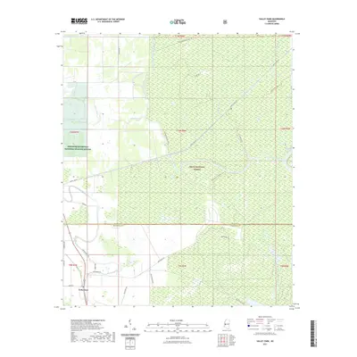
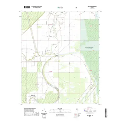 2021 Holly Bluff2021 Print · USGSCovers Sharkey County, including Campbellville, Spanish Fort, and other nearby areas
 - 2024 Map of Delta City, 2024 Print
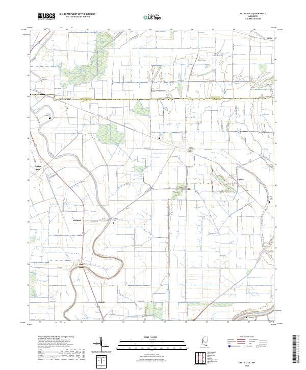 2024 Delta City2024 Print · USGSThe Yazoo-Mississippi Delta is captured in recent detail, showing a landscape defined by its bayous and historic agricultural communities. Researchers can trace the layout of Nitta Yuma and Panther Burn, or locate sites like Mount Zion Cem and Vickland Cem.
 - 2024 Map of Valley Park, 2024 Print
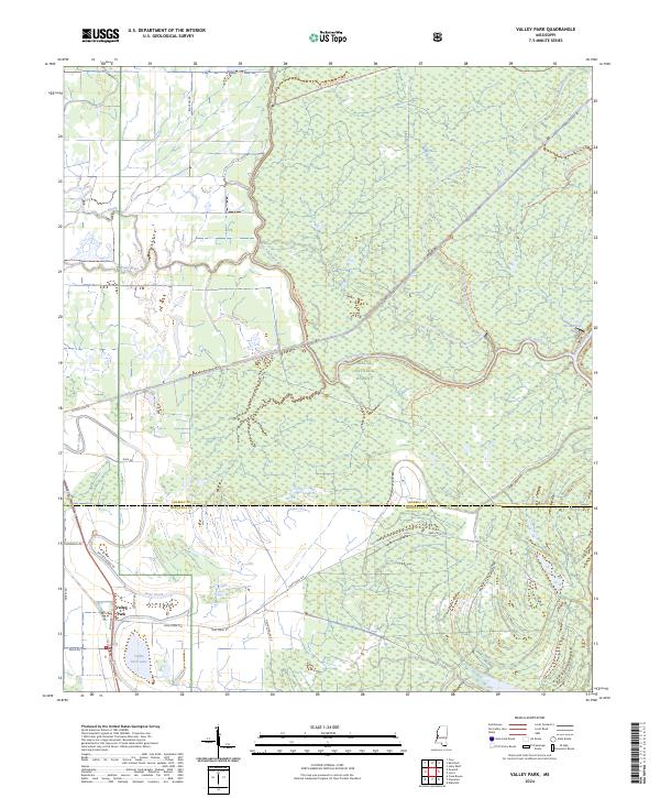 2024 Valley Park2024 Print · USGSThe Issaquena County wetlands and the southern Delta National Forest are captured in this modern survey. Researchers can trace land management boundaries and water features like Valley Park Lake, Deer Creek, and Spanish Fort Rd.
 - 2024 Map of Onward, 2024 Print
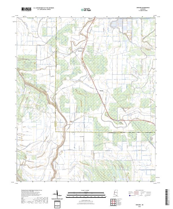 2024 Onward2024 Print · USGSThe lower Mississippi Delta's intricate network of bayous and wildlife lands is shown in this contemporary study of Issaquena and Sharkey counties. Local researchers can trace the roads and waterways connecting Onward, Kelso, and the Theodore Roosevelt National Wildlife Refuge.
 - 2024 Map of Red Rock, 2024 Print
 2024 Red Rock2024 Print · USGSSharkey County, Mississippi, is shown here as a preserve of river-bottom wetlands within the Delta National Forest. Researchers can trace the winding paths of the Big Sunflower River and historical routes like the Spanish Fort Trl.
 - 2024 Map of Cary, 2024 Print
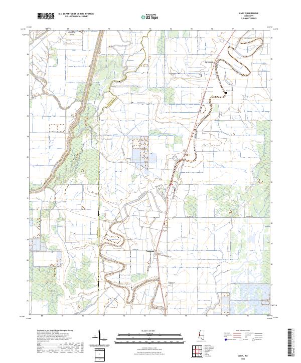 2024 Cary2024 Print · USGSThe fertile Mississippi Delta lands of Sharkey and Issaquena counties appear here in contemporary detail. Genealogists and local historians can locate Danover Cem and trace the small rural communities of Cary and Egremont along the banks of Deer Creek.
 - 2024 Map of Rolling Fork East, 2024 Print
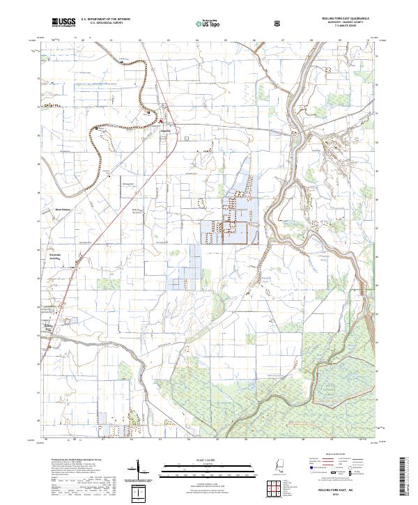 2024 Rolling Fork East2024 Print · USGSThis contemporary look at Sharkey County shows the intricate wetlands of the Mississippi Delta south of Anguilla. Genealogists and historians can locate rural landmarks like Cameta Cem, Mont Helena, and the forested reaches of the Delta National Forest.
 - 2024 Map of Richey, 2024 Print
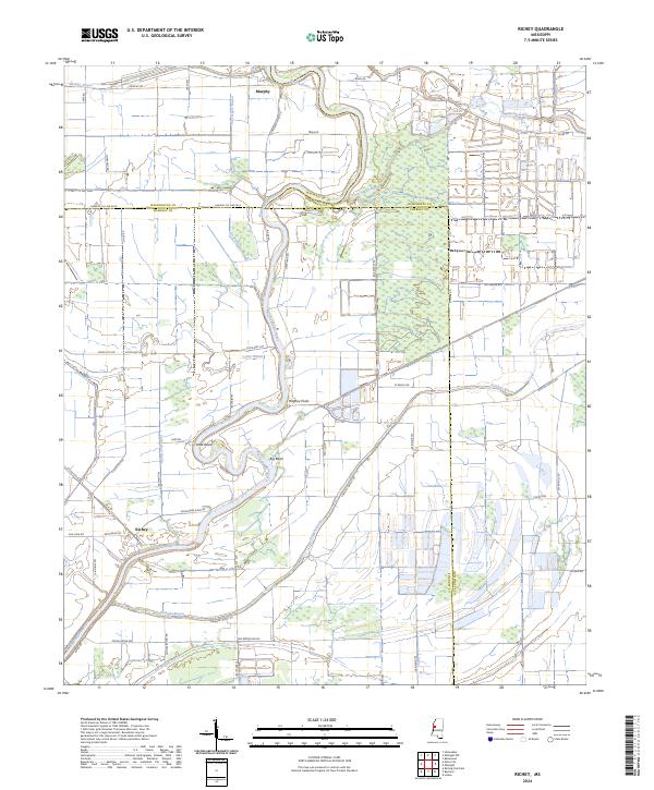 2024 Richey2024 Print · USGSThe Yazoo Basin of western Mississippi remains a landscape of intricate waterways and conservation lands in the modern era. Genealogists and local historians can trace the paths of Big Sunflower River, the settlement at Richey, and the Free Negro Bayou wetlands.
 - 2024 Map of Holly Bluff, 2024 Print
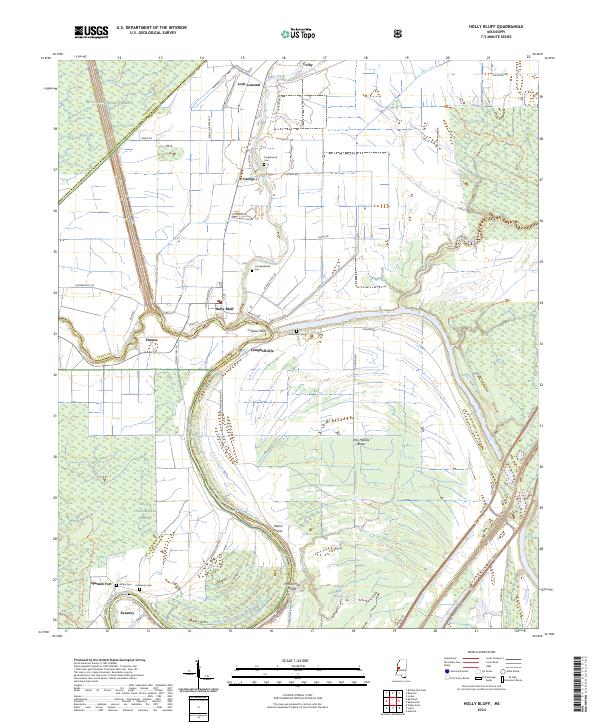 2024 Holly Bluff2024 Print · USGSThe Yazoo Basin river-and-rail landscape is captured here in the 2020s, showing the intersection of managed wetlands and delta agriculture. Researchers can trace the Big Sunflower River to find local landmarks like Holly Bluff, Tanglewood Cem, and Campbellville.
 - 2024 Map of Rolling Fork West, 2024 Print
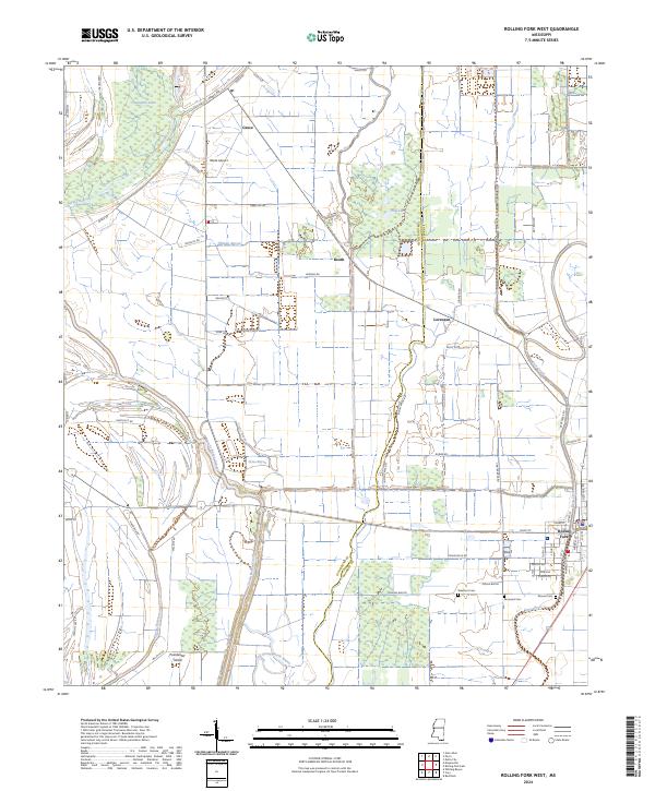 2024 Rolling Fork West2024 Print · USGSThe western outskirts of Rolling Fork and the surrounding Delta bayous are captured here in recent years. Researchers can trace family history at Elmwood Cem and Mound Cem or locate the rural crossroads of Grace and Booth.
 - 2024 Map of Lucre, 2024 Print
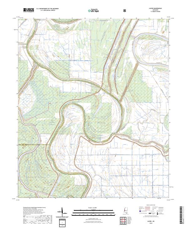 2024 Lucre2024 Print · USGSThe Mississippi Delta bottomlands come alive in this study of the mid-2020s, showing the vast Delta National Forest at the meeting of three counties. You can trace the complex drainage of the Yazoo River alongside major engineering works like the Will M. Whittington Auxiliary Channel.
 - 2024 Map of Bayland, 2024 Print
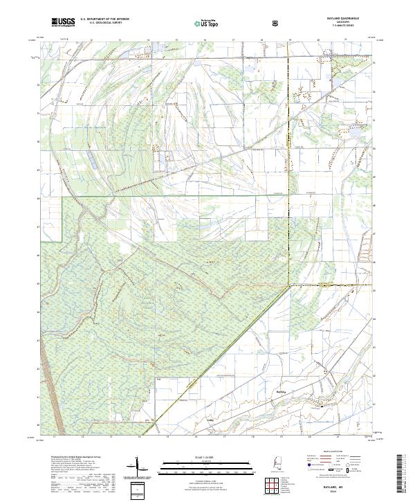 2024 Bayland2024 Print · USGSThe Mississippi Delta bottomlands come alive in this recent survey of Sharkey County and the surrounding forest lands. Researchers can locate the Valley Home Cem and trace rural life near Bayland, Colby, and the Cypress Lake Trl.
 - 2024 Map of Percy, 2024 Print
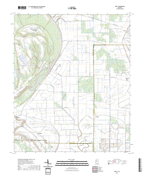 2024 Percy2024 Print · USGSThe Mississippi Delta's intricate wetlands and agricultural plains are shown here in the 2020s, spanning the borders of Washington and Sharkey Counties. Genealogists and local historians can trace small settlements like Panther Burn and Percy or locate Canaan Hill Cem near the Yazoo National Wildlife Refuge.
End of results
Showing maps 1-24 of 24
Top cities of Sharkey County
Frequently asked questions
- What are the different types of historical maps available for Sharkey County?
- What is the oldest map of Sharkey County?
- Where can I purchase historical maps of Sharkey County for my home or office?
- Where can I download high-res historical maps of Sharkey County?
- Are there historical topographic maps available for Sharkey County?
- Is there historical aerial imagery available for Sharkey County?
- Where are historical maps of Sharkey County sourced from?