2010s Maps of Sharkey County, Mississippi
Explore 36 historic maps of Sharkey County from the 2010s. These maps offer a rare glimpse into what life looked like during the 2010s — showing old roads, neighborhoods, homes, and landmarks that have changed or disappeared over time.
Whether you're researching your family's past, planning a metal detecting trip, or studying how Sharkey County's landscape evolved across the 2010s, these high-resolution maps are a powerful tool for exploring the history of this region.
- Focus on a specific era: All maps on this page are from the 2010s, giving you a focused view of this time period.
- See what’s changed: Compare century-old streets, trails, and buildings to today's modern landscape using overlays and satellite layers.
- Research with precision: Use these maps for genealogy, historical research, land use analysis, or educational projects.
- View, download, or print: Maps are fully viewable online in high resolution, and can be downloaded or printed for your own records.
Start exploring Sharkey County's history through authentic maps from the 2010s. This is your window into the past.
Sharkey County, MS maps
(36)- 2012 Map of Delta City, 2012 Print
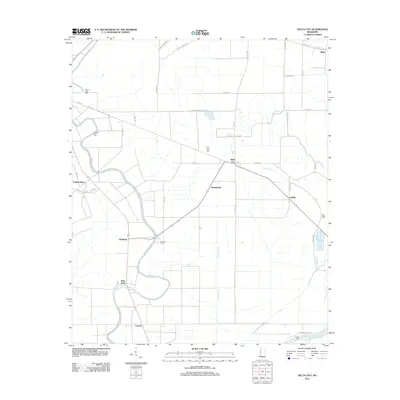 2012 Delta City2012 Print · USGSThe Mississippi Delta's agricultural heartland is documented here in the early twenty-first century, showing the enduring layout of rural Sharkey County. Local researchers can trace family roots through historic sites like Mount Zion Cem and the communities of Nitta Yuma and Panther Burn.
 - 2012 Map of Richey, 2012 Print
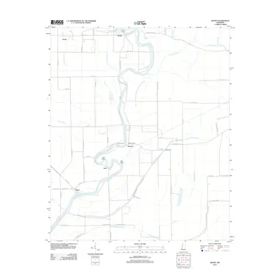 2012 Richey2012 Print · USGSThe Mississippi Delta riverfront comes into focus in this early 21st-century survey of Washington County. Researchers can trace rural road networks and historic river crossings like Murphy Ferry and the settlements of Richey and Bommers.
 - 2012 Map of Percy, 2012 Print
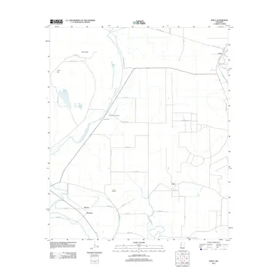 2012 Percy2012 Print · USGSThe Mississippi Delta landscape near Percy shows its agricultural and aquatic character in the early twenty-first century. Researchers can locate small settlements like Sago and Woodside, and trace family sites at Canaan Hill Cem or the local Eifling Farms Airport.
 - 2012 Map of Red Rock, 2012 Print
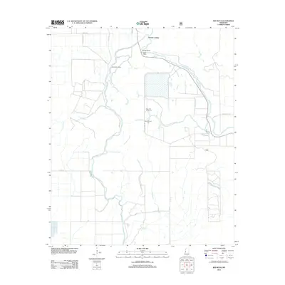 2012 Red Rock2012 Print · USGSSharkey County, Mississippi, is shown here as a landscape of managed wetlands and river landings in the early twenty-first century. Genealogists and researchers can trace the roads and waterways around Choctaw Landing, Red Rock, and the Sunflower Greentree Reservoir.
 - 2012 Map of Rolling Fork East, 2012 Print
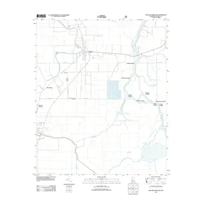 2012 Rolling Fork East2012 Print · USGSSharkey County settlements and river landings are documented here during the early twenty-first century. Researchers can trace family history through local sites like Anguilla, Mont Helena, and several community burial grounds including Vicks Cem and Cameta Cem.
 - 2012 Map of Bayland, 2012 Print
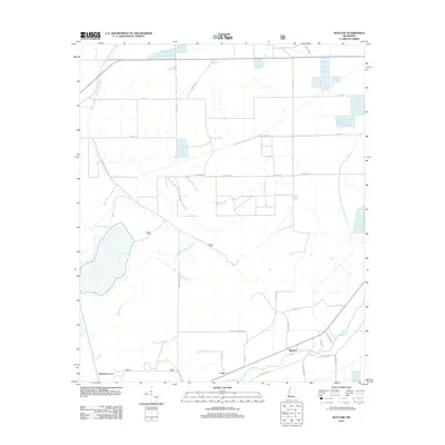 2012 Bayland2012 Print · USGSYazoo County at the start of the 2010s shows a landscape deeply tied to its waterways and agricultural tracts. Genealogists and local historians can trace family-named routes like Peter Rock Rd and Grand Oak Rd near Bayland and Colby.
 - 2012 Map of Valley Park, 2012 Print
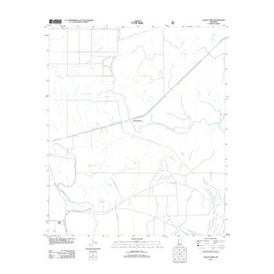 2012 Valley Park2012 Print · USGSThe Mississippi Delta landscape of Issaquena County comes into focus in the early twenty-first century, showing a region defined by its water and winding roads. Trace local history along the Little Sunflower River or explore the rural layout of Valley Park and Little Sunflower.
 - 2012 Map of Lucre, 2012 Print
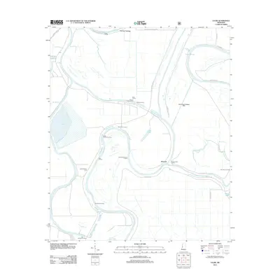 2012 Lucre2012 Print · USGSThe Yazoo River delta remains a landscape of river-dependent settlements and woodyards in this early twenty-first-century survey. Genealogists and local historians can trace numerous named river points including Spanish Fort Landing, Shell Mound Landing, and Harworth.
 - 2012 Map of Holly Bluff, 2012 Print
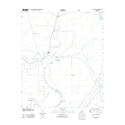 2012 Holly Bluff2012 Print · USGSThe Mississippi Delta's intricate river systems are mapped here in the early twenty-first century, showing a landscape of levees and bayous. Researchers can find many family burial sites and rural landings, from Tanglewood Cem and Spanish Fort to Mabin Island.
 - 2012 Map of Rolling Fork West, 2012 Print
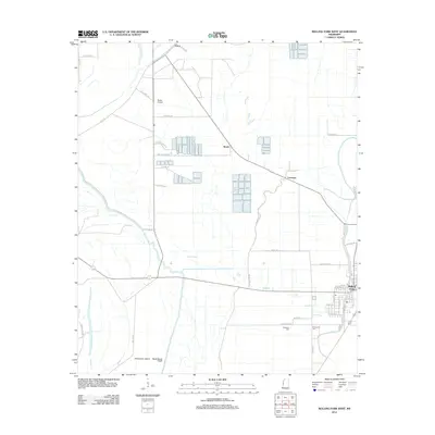 2012 Rolling Fork West2012 Print · USGSThe Mississippi Delta town of Rolling Fork is shown in detail during the early 21st century, surrounded by the bayous and agricultural grids of Sharkey County. Researchers can trace local heritage at Elmwood Cem or explore small settlements like Booth, Grace, and Lorenzen.
 - 2012 Map of Cary, 2012 Print
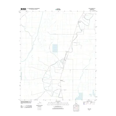 2012 Cary2012 Print · USGSThe Sharkey County delta region is captured here in the early twenty-first century, showing the enduring agricultural character of the Mississippi lowlands. Genealogists and local historians can trace family land via Mount Olive Rd, find the Danover Cem, and explore the small settlements of Cary and Egremont.
 - 2012 Map of Onward, 2012 Print
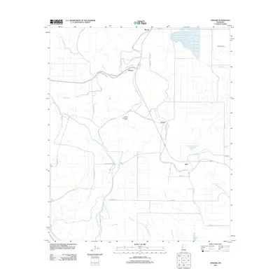 2012 Onward2012 Print · USGSThe Mississippi Delta in the early twenty-first century reveals a landscape of isolated agricultural hubs and winding waterways. Researchers can trace the rural road networks connecting Onward, Smedes, and Kelso, or locate aviation landmarks like Reality Plantation Airport.
 - 2015 Map of Holly Bluff, 2015 Print
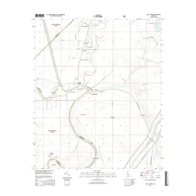 2015 Holly Bluff2015 Print · USGSThe Mississippi Delta riverfront and the Sharkey-Yazoo county line are shown here in the mid-2010s. Researchers can locate family landmarks like Jeffery Cem and Shannon Cem or trace the early paths of Holly Bluff and Spanish Fort.
 - 2015 Map of Bayland, 2015 Print
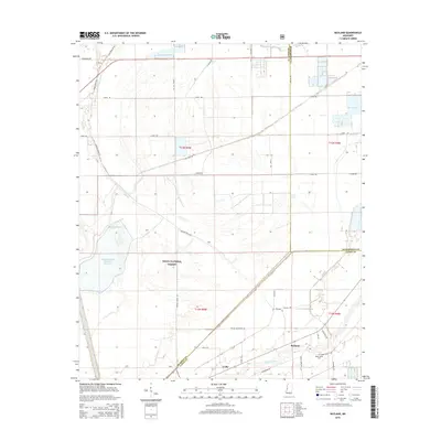 2015 Bayland2015 Print · USGSThe Yazoo Basin's managed wetlands and bottomland forests are documented here in the mid-2010s. Local researchers can trace family-named roads and rural sites like the Valley Home Cem, the Dowling Bayou Greentree Reservoir, and the community of Bayland.
 - 2015 Map of Lucre, 2015 Print
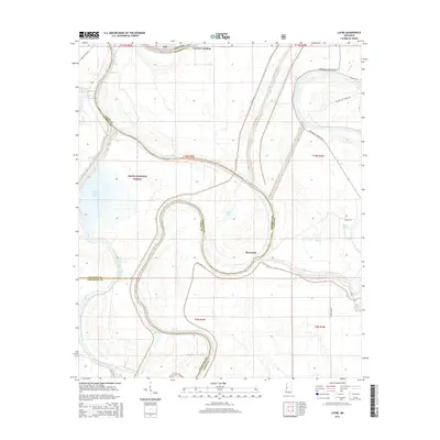 2015 Lucre2015 Print · USGSSoutheastern Sharkey and Yazoo Counties appear here in the mid-2010s, defined by the winding paths of the Big Sunflower River and Yazoo River. Researchers can trace the layout of the Delta National Forest or locate historical landings and hamlets like Fairview Landing and Harworth.
 - 2015 Map of Cary, 2015 Print
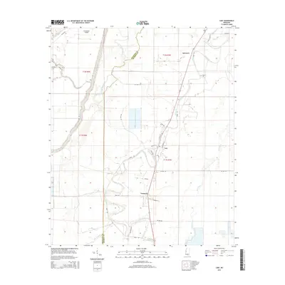 2015 Cary2015 Print · USGSThe fertile Delta lands of Sharkey and Issaquena counties are shown here in the mid-2010s, defined by the winding paths of Deer Creek and Steele Bayou. Researchers can trace the layout of Cary and Issaquena, locating landmarks like Danover Cem and Poindexter Island.
 - 2015 Map of Red Rock, 2015 Print
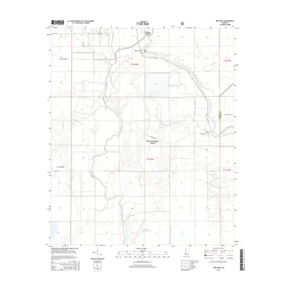 2015 Red Rock2015 Print · USGSSharkey County's bottomlands are shown in the mid-2010s, where the winding Big Sunflower River meets managed forest lands. Researchers can trace the layout of small settlements like Choctaw Landing and follow the intricate drainage of Howlett Bayou through the Delta National Forest.
 - 2015 Map of Rolling Fork West, 2015 Print
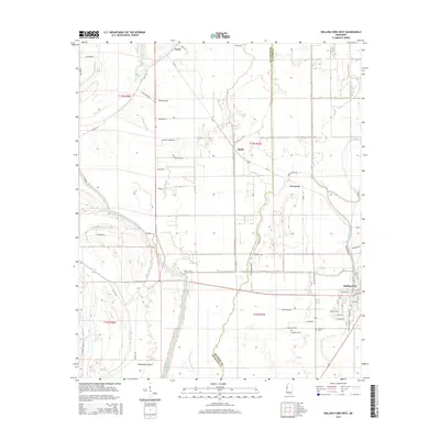 2015 Rolling Fork West2015 Print · USGSThe fertile Mississippi Delta comes to life in this survey of the region surrounding Rolling Fork during the mid-2010s. Genealogists and historians can trace family locations near Weathers Cem, Poindexter Island, and the quiet settlements of Grace and Lorenzen.
 - 2015 Map of Onward, 2015 Print
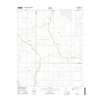 2015 Onward2015 Print · USGSThe Sharkey and Issaquena county line crosses a landscape of delta bayous and rural settlements in the mid-2010s. Researchers can trace family ties and local geography through landmarks like Onward, Kelso, and the winding path of Steele Bayou.
 - 2015 Map of Richey, 2015 Print
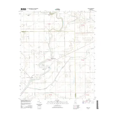 2015 Richey2015 Print · USGSThe Mississippi Delta's river-bottom lands are detailed here in 2015, where three counties meet among winding bayous. Genealogists can trace family locations near Richey, Murphy, and along the banks of Free Negro Bayou or the Big Sunflower River.
 - 2015 Map of Percy, 2015 Print
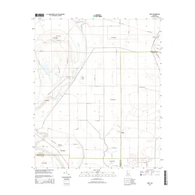 2015 Percy2015 Print · USGSThe Mississippi Delta bottomlands near the junction of three counties are mapped here during the mid-2010s. Researchers can trace rural life through landmarks like Hill Cem, the small settlement of Percy, and the aviation history of Eifling Farms Airport.
 - 2015 Map of Delta City, 2015 Print
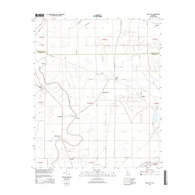 2015 Delta City2015 Print · USGSMississippi Delta life in the early 21st century is centered around agricultural outposts and winding bayous. Trace the roots of local communities at Nitta Yuma and Panther Burn, or locate family sites like Mount Zion Cem and Georgia Bend Cem.
 - 2015 Map of Valley Park, 2015 Print
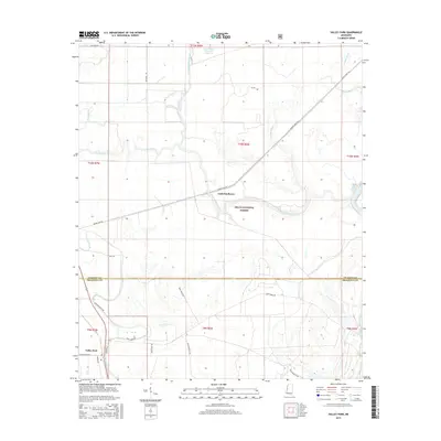 2015 Valley Park2015 Print · USGSIssaquena and Sharkey counties meet in this 2015 study of the Mississippi Delta, a landscape of bottomland forest and winding bayous. Genealogists and researchers can trace local routes like Spanish Fort Rd and Dummy Line Rd near the Valley Park settlement.
 - 2015 Map of Rolling Fork East, 2015 Print
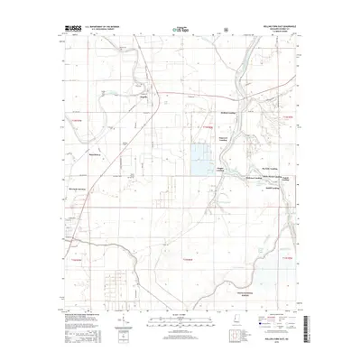 2015 Rolling Fork East2015 Print · USGSThe fertile Sharkey County delta is captured here in the mid-2010s, showing the intersection of agricultural life and the Delta National Forest. Genealogists and local historians can trace family sites at Vicks Cem or explore the numerous river landings like Hickman Landing along the Big Sunflower River.
 - 2018 Map of Rolling Fork West, 2018 Print
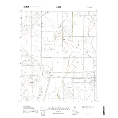 2018 Rolling Fork West2018 Print · USGSThe Mississippi Delta's intricate water network defines this 2018 survey of the western outskirts of Rolling Fork. Genealogists and local historians can trace family sites at Weathers Cem and Elmwood Cem or explore the rural landscape around Grace and Booth.
Showing maps 1-25 of 36
Top cities of Sharkey County
Frequently asked questions
- What are the different types of historical maps available for Sharkey County?
- What is the oldest map of Sharkey County?
- Where can I purchase historical maps of Sharkey County for my home or office?
- Where can I download high-res historical maps of Sharkey County?
- Are there historical topographic maps available for Sharkey County?
- Is there historical aerial imagery available for Sharkey County?
- Where are historical maps of Sharkey County sourced from?