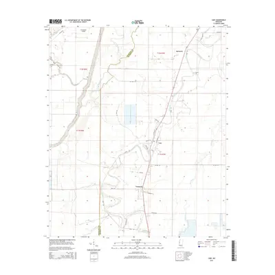
2015 Map of Cary
USGS Topo · Published 2015About this map
The low-lying agricultural landscape of the Mississippi Delta is defined here by a complex network of waterways, centered on the communities of Cary and Issaquena. These settlements are situated along the winding course of Deer Creek, a prominent feature that meanders south through the quadrangle. The intersection of local infrastructure and the natural drainage system is evident in the grid of rural roads such as Grain Rd and Oil Well Rd, which support the region's agricultural and resource-based economy. To the west, the expansive Steele Bayou and its E Prong carve through the terrain, creating natural boundaries and landforms like Poindexter Island. Further east, Egremont stands near the Danover Cem, offering a localized point of interest for those tracing family history in Sharkey and Issaquena counties. The map illustrates how human settlement has adapted to the alluvial plains, with development concentrated along the higher ground of the creek banks.
Find a feature on this map
36 named features on this map. Tap any name to fly to it.
Don’t see what you’re looking for? This feature index may not catch every label — zoom into the map to look around manually.
Map Details
Editions of this 2015 Cary Map
This is the sole edition of this map. No revisions or reprints were ever made.
Other maps of this area

1909 · Wilsons Point
USGS Topo · 1:24,000

1913 · Wilson Point
USGS Topo · 1:31,680

1939 · Onward
USGS Topo · 1:62,500

1939 · Lorenzen
USGS Topo · 1:62,500

1939 · Alsatia
USGS Topo · 1:62,500

1939 · Mayersville
USGS Topo · 1:62,500

1955 · Jackson
USGS Topo · 1:250,000

1961 · Jackson
USGS Topo · 1:250,000

1962 · Jackson
USGS Topo · 1:250,000

1963 · Onward
USGS Topo · 1:62,500