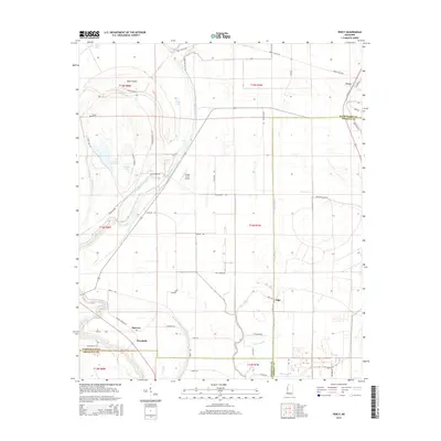
2015 Map of Percy
USGS Topo · Published 2015About this map
Steele Bayou and its winding tributaries dominate this landscape at the intersection of Washington, Sharkey, and Issaquena counties. The terrain is a complex network of wetlands and agricultural tracts, characterized by features like Swan Island, Deer Lake, and numerous sloughs such as Gin Slough and Hoots Dump Slough. The settlement pattern follows the drainage and road networks, with small communities like Percy, Spencer, and Woodside situated near the watercourses. The local infrastructure reflects a rural aviation and agricultural focus, notably anchored by the Eifling Farms Airport. Genealogists may find interest in the Hill Cem near Canaan, while the road system, including Panther Burn Rd and Yazoo Refuge RD, provides a clear view of the mid-20th-century transportation corridors through the Delta's bottomlands.
Find a feature on this map
58 named features on this map. Tap any name to fly to it.
Don’t see what you’re looking for? This feature index may not catch every label — zoom into the map to look around manually.
Map Details
Editions of this 2015 Percy Map
This is the sole edition of this map. No revisions or reprints were ever made.
Other maps of this area

1909 · Wilsons Point
USGS Topo · 1:24,000

1913 · Wilson Point
USGS Topo · 1:31,680

1939 · Lorenzen
USGS Topo · 1:62,500

1939 · Readland
USGS Topo · 1:62,500

1939 · Mayersville
USGS Topo · 1:62,500

1939 · Swan Lake
USGS Topo · 1:62,500

1953 · Greenwood
USGS Topo · 1:250,000

1955 · Jackson
USGS Topo · 1:250,000

1956 · Greenwood
USGS Topo · 1:250,000

1961 · Jackson
USGS Topo · 1:250,000