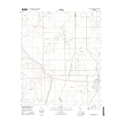
2015 Map of Rolling Fork West
USGS Topo · Published 2015About this map
Steele Bayou and its numerous branches, including Tillman Bayou and Gross Bayou, dominate this low-lying landscape within the Mississippi Delta. The intricate drainage network is supplemented by Indian Bayou and Deer Creek, reflecting the region's historical reliance on waterways for both transport and agriculture. Small settlements such as Grace, Lorenzen, and the western portion of Rolling Fork are connected by a grid of rural roads, including Grayson Rd and Burma Rd, which cut across the flat, fertile terrain.
Find a feature on this map
54 named features on this map. Tap any name to fly to it.
Don’t see what you’re looking for? This feature index may not catch every label — zoom into the map to look around manually.
Map Details
Editions of this 2015 Rolling Fork West Map
This is the sole edition of this map. No revisions or reprints were ever made.
Other maps of this area

1909 · Wilsons Point
USGS Topo · 1:24,000

1913 · Wilson Point
USGS Topo · 1:31,680

1939 · Lorenzen
USGS Topo · 1:62,500

1939 · Readland
USGS Topo · 1:62,500

1939 · Mayersville
USGS Topo · 1:62,500

1939 · Swan Lake
USGS Topo · 1:62,500

1953 · Greenwood
USGS Topo · 1:250,000

1955 · Jackson
USGS Topo · 1:250,000

1956 · Greenwood
USGS Topo · 1:250,000

1961 · Jackson
USGS Topo · 1:250,000