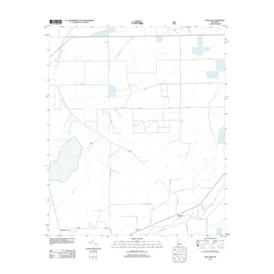
2012 Map of Bayland
USGS Topo · Published 2012About this map
Silver Cr winds through the southern landscape of this Delta region, defining the drainage patterns around the small settlements of Bayland and Colby. The map reveals an intricate network of rural roads and bayous that support the local agricultural character. Distinctive water features like Big Widow Bayou, Dowling Bayou, and McCann Bayou segment the terrain, while the Holly Bluff Cut-Off marks a significant hydrological modification to the natural flow of the area. Family-named and descriptive thoroughfares such as Peter Rock Rd, Grand Oak Rd, and Collins Deadening Rd provide clues to early landownership and local landmarks. This survey captures the layout of Yazoo County before further modern development, preserving the proximity of these small communities to the natural bayou systems.
Find a feature on this map
37 named features on this map. Tap any name to fly to it.
Don’t see what you’re looking for? This feature index may not catch every label — zoom into the map to look around manually.
Map Details
Editions of this 2012 Bayland Map
This is the sole edition of this map. No revisions or reprints were ever made.
Other maps of this area

1939 · Lorenzen
USGS Topo · 1:62,500

1939 · Swan Lake
USGS Topo · 1:62,500

1940 · Auter
USGS Topo · 1:62,500

1953 · Greenwood
USGS Topo · 1:250,000

1955 · Jackson
USGS Topo · 1:250,000

1956 · Greenwood
USGS Topo · 1:250,000

1961 · Jackson
USGS Topo · 1:250,000

1961 · Bayland
USGS Topo · 1:62,500

1962 · Jackson
USGS Topo · 1:250,000

1964 · Lorenzen
USGS Topo · 1:62,500