Old Maps of Stone County, Mississippi for Academic Research
Study the evolution of Stone County with 37 high-resolution historic maps. Whether you're teaching, researching, or modeling changes in land use, these maps provide essential visual documentation of urban, environmental, and geographic change.
- Analyze long-term change: Track patterns in development, transportation, and natural features.
- Ideal for environmental or urban studies: Support academic projects with primary historical map data.
- Use in the classroom or lab: Educators and researchers rely on these maps to bring historical context to life.
These maps are a powerful tool for teaching, research, and visualizing how Stone County has changed over the decades.
Stone County, MS maps
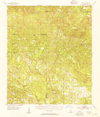
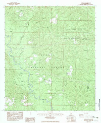
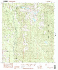
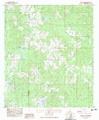
(37)- 1947 Map of Wiggins, 1965 Print
 1947 Wiggins1965 Print · USGSCovers Stone County, including Wiggins, Big Level, and other nearby areas2 unique versions available
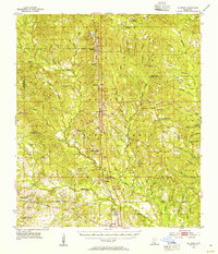
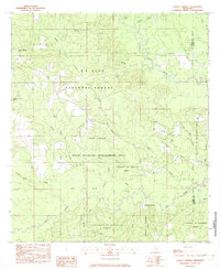
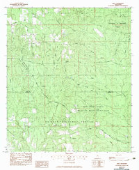
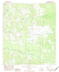
 - 1947 Map of Benndale, 1966 Print
 1947 Benndale1966 Print · USGSCovers Stone County, including Batt Place, Avent, and other nearby areas2 unique versions available
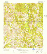
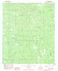
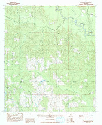
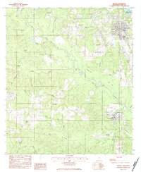
 - 1949 Map of Wiggins
 1949 Wiggins1949 Print · USGSCovers Stone County, including Wiggins, Big Level, and other nearby areas2 unique versions available
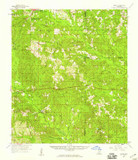
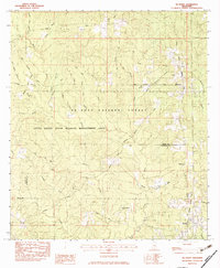
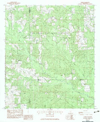
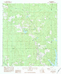
 - 1949 Map of Benndale
 1949 Benndale1949 Print · USGSCovers Stone County, including Batt Place, Avent, and other nearby areas2 unique versions available
 - 1953 Map of Mobile, 1968 Print
 1953 Mobile1968 Print · USGSCovers Stone County, including New Orleans, Mobile, and other nearby areas3 unique versions available
 - 1954 Map of Vestry, 1955 Print
 1954 Vestry1955 Print · USGSCovers Stone County, including Vestry, Latimer, and other nearby areas4 unique versions available
 - 1954 Map of McHenry, 1955 Print
 1954 McHenry1955 Print · USGSCovers Stone County, including Gulfport, Hovey, and other nearby areas3 unique versions available
 - 1955 Map of Savannah, 1956 Print
 1955 Savannah1956 Print · USGSCovers Stone County, including New Camp Rowlands, Crane Creek, and other nearby areas3 unique versions available
 - 1957 Map of Mobile
 1957 Mobile1957 Print · USGSCovers Stone County, including New Orleans, Mobile, and other nearby areas3 unique versions available
 - 1958 Map of Carnes, 1959 Print
 1958 Carnes1959 Print · USGSCovers Stone County, including Hillsdale, Lumberton, and other nearby areas2 unique versions available
 - 1960 Map of Mobile
 1960 Mobile1960 Print · USGSCovers Stone County, including New Orleans, Mobile, and other nearby areas
 - 1963 Map of Mobile
 1963 Mobile1963 Print · USGSCovers Stone County, including New Orleans, Mobile, and other nearby areas
 - 1965 Map of Mobile
 1965 Mobile1965 Print · USGSCovers Stone County, including New Orleans, Mobile, and other nearby areas
 - 1982 Map of Barbara
 1982 Barbara1982 Print · USGSCovers Stone County, including Batt Place, Barbara, and other nearby areas
 - 1982 Map of Ramsey Springs
 1982 Ramsey Springs1982 Print · USGSCovers Stone County, including Ramsey Springs, George County, and other nearby areas
 - 1982 Map of Beatrice
 1982 Beatrice1982 Print · USGSCovers Stone County, including Beatrice, Dantzler, and other nearby areas
 - 1982 Map of McHenry, 1983 Print
 1982 McHenry1983 Print · USGSCovers Stone County, including Howison, Perry, and other nearby areas2 unique versions available
 - 1982 Map of Silver Run, 1983 Print
 1982 Silver Run1983 Print · USGSCovers Stone County, including Silver Run, Barth, and other nearby areas
 - 1982 Map of Airey, 1983 Print
 1982 Airey1983 Print · USGSCovers Stone County, including Airey, Harrison County, and other nearby areas
 - 1983 Map of Bond Pond
 1983 Bond Pond1983 Print · USGSCovers Stone County, including Wiggins, Perry County, and other nearby areas
 - 1983 Map of Carnes
 1983 Carnes1983 Print · USGSCovers Stone County, including Carnes, Texas, and other nearby areas
 - 1983 Map of Browns Lake
 1983 Browns Lake1983 Print · USGSCovers Stone County, including Smith Town, Pearl River County, and other nearby areas
 - 1983 Map of Whites Crossing, 1984 Print
 1983 Whites Crossing1984 Print · USGSCovers Stone County, including Wiggins, Big Level, and other nearby areas
 - 1983 Map of Wiggins, 1984 Print
 1983 Wiggins1984 Print · USGSCovers Stone County, including Wiggins, Perkinston, and other nearby areas
 - 1983 Map of Bond, 1984 Print
 1983 Bond1984 Print · USGSCovers Stone County, including Wiggins, Fruitland Park, and other nearby areas
Showing maps 1-25 of 37
Top cities of Stone County
Frequently asked questions
- What are the different types of historical maps available for Stone County?
- What is the oldest map of Stone County?
- Where can I purchase historical maps of Stone County for my home or office?
- Where can I download high-res historical maps of Stone County?
- Are there historical topographic maps available for Stone County?
- Is there historical aerial imagery available for Stone County?
- Where are historical maps of Stone County sourced from?