2000s (21st Century) Maps of Stone County, Mississippi
Explore 67 historic maps of Stone County from the 2000s (21st Century). These maps offer a rare glimpse into what life looked like during the 2000s — showing old roads, neighborhoods, homes, and landmarks that have changed or disappeared over time.
Whether you're researching your family's past, planning a metal detecting trip, or studying how Stone County's landscape evolved across the 2000s, these high-resolution maps are a powerful tool for exploring the history of this region.
- Focus on a specific era: All maps on this page are from the 2000s, giving you a focused view of this time period.
- See what’s changed: Compare century-old streets, trails, and buildings to today's modern landscape using overlays and satellite layers.
- Research with precision: Use these maps for genealogy, historical research, land use analysis, or educational projects.
- View, download, or print: Maps are fully viewable online in high resolution, and can be downloaded or printed for your own records.
Start exploring Stone County's history through authentic maps from the 2000s. This is your window into the past.
Stone County, MS maps
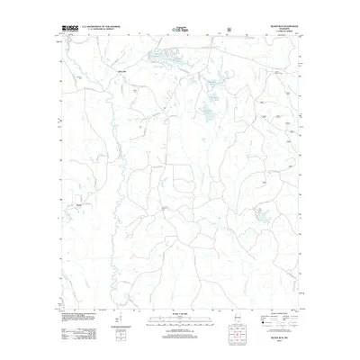
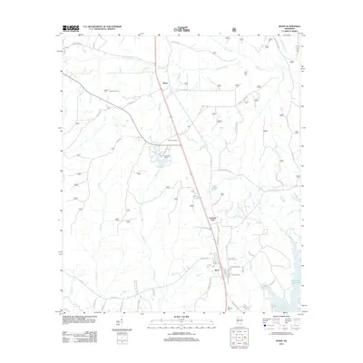
(67)- 2000 Map of Bond, 2002 Print
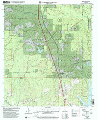 2000 Bond2002 Print · USGSThe piney woods of southern Mississippi are captured here at the start of the millennium, showing a landscape defined by timber and energy. Researchers can locate family landmarks like Batson Cem, the Maxie Lookout Tower, and Fruitland Park.
 - 2000 Map of Ramsey Springs, 2002 Print
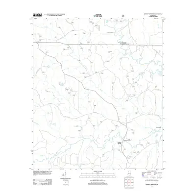
 2000 Ramsey Springs2002 Print · USGSSoutheast Mississippi forest lands at the turn of the millennium are defined here by the winding Black Creek and Red Creek corridors. Researchers can locate remote family burial sites like Whittington Cem and Hickman Cem or trace the early rural hubs of Ramsey Springs and Moore Crossing.
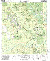
 - 2000 Map of Whites Crossing, 2002 Print
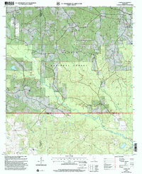
 2000 Whites Crossing2002 Print · USGSStone County life in the early 2000s centered around the growth of Wiggins and the surrounding pine woods of the De Soto National Forest. Genealogists and historians can trace family roots through numerous country landmarks like Liberty Hill Ch, Big Level, and Whites Cem.
 - 2000 Map of Bond Pond, 2002 Print
 2000 Bond Pond2002 Print · USGSSouthern Mississippi's piney woods and the Black Creek Wilderness are captured here at the end of the twentieth century. Researchers can locate family landmarks and rural congregations like Andrews Chapel, Sims Cem, and Howard-Breland Cem.
 - 2000 Map of Carnes, 2002 Print
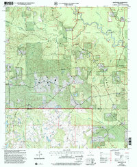
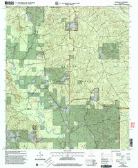
 2000 Carnes2002 Print · USGSForrest and Stone counties appear at the turn of the millennium as a blend of timberland and active energy extraction. Genealogists can locate several remote burial grounds and churches, including Old Sandhill Ch, Eureka Cem, and Fairley Cem.
 - 2000 Map of Silver Run, 2002 Print
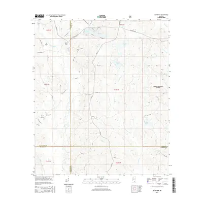
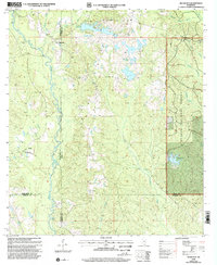 2000 Silver Run2002 Print · USGSSouthern Mississippi's timber and river country is captured here at the end of the twentieth century, spanning the borders of Stone, Harrison, and Pearl River counties. Researchers can locate numerous family burial sites like Hester Cem and rural centers such as Old Barth Community Ch.
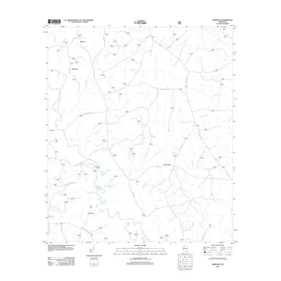
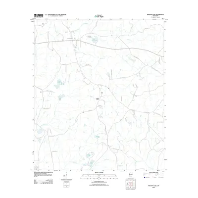
 - 2000 Map of Barbara, 2003 Print
 2000 Barbara2003 Print · USGSThe De Soto National Forest comes into focus at the turn of the century as a landscape defined by the winding Black Creek. Researchers can trace family roots through numerous small cemeteries and sites like St Luke Ch, Doctor Lake, and Cochran Cem.
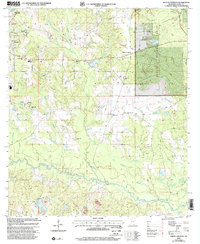
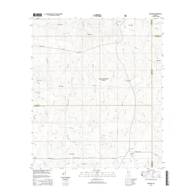
 - 2012 Map of Beatrice, 2012 Print
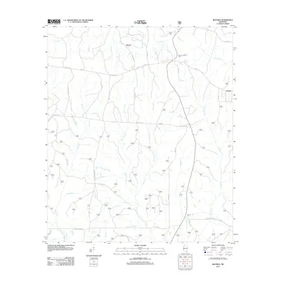 2012 Beatrice2012 Print · USGSCovers Stone County, including Dantzler, Beatrice, and other nearby areas
 - 2012 Map of Ramsey Springs, 2012 Print
 2012 Ramsey Springs2012 Print · USGSCovers Stone County, including Ramsey Springs, George County, and other nearby areas
 - 2012 Map of Bond Pond, 2012 Print
 2012 Bond Pond2012 Print · USGSCovers Stone County, including Wiggins, Perry County, and other nearby areas
 - 2012 Map of Whites Crossing, 2012 Print
 2012 Whites Crossing2012 Print · USGSCovers Stone County, including Wiggins, Big Level, and other nearby areas
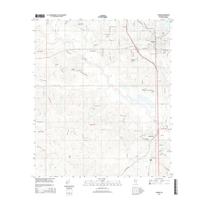
 - 2012 Map of Wiggins, 2012 Print
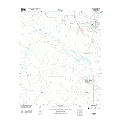 2012 Wiggins2012 Print · USGSCovers Stone County, including Wiggins, Ten Mile, and other nearby areas
 - 2012 Map of Silver Run, 2012 Print
 2012 Silver Run2012 Print · USGSCovers Stone County, including Silver Run, Barth, and other nearby areas
 - 2012 Map of Barbara, 2012 Print
 2012 Barbara2012 Print · USGSCovers Stone County, including Batt Place, Deep Creek, and other nearby areas
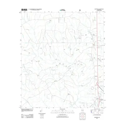
 - 2012 Map of Airey, 2012 Print
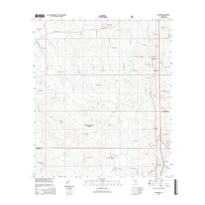
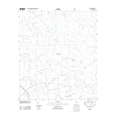 2012 Airey2012 Print · USGSCovers Stone County, including Airey, Harrison County, and other nearby areas
 - 2012 Map of Carnes, 2012 Print
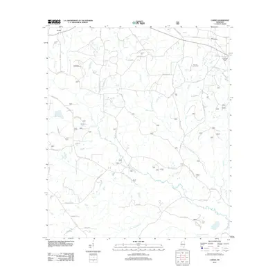 2012 Carnes2012 Print · USGSCovers Stone County, including Texas, Carnes, and other nearby areas
 - 2012 Map of Bond, 2012 Print
 2012 Bond2012 Print · USGSCovers Stone County, including Wiggins, Maxie, and other nearby areas
 - 2012 Map of Browns Lake, 2012 Print
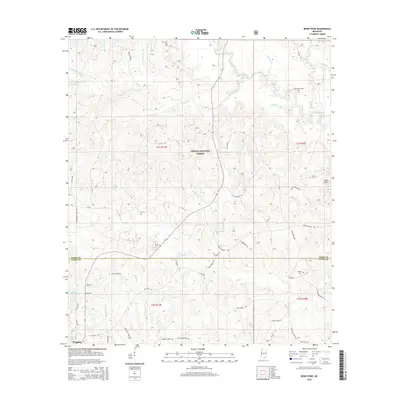
 2012 Browns Lake2012 Print · USGSCovers Stone County, including Smith Town, Pearl River County, and other nearby areas
 - 2012 Map of McHenry, 2012 Print
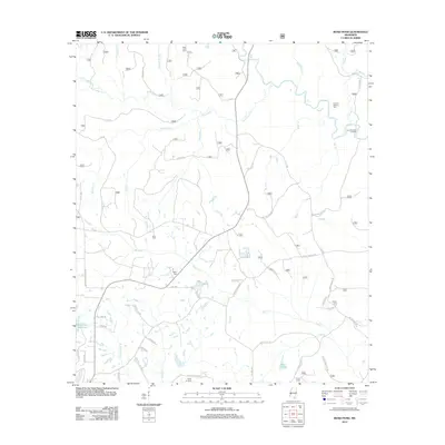
 2012 McHenry2012 Print · USGSCovers Stone County, including Howison, McHenry, and other nearby areas
 - 2015 Map of Bond Pond, 2015 Print
 2015 Bond Pond2015 Print · USGSCovers Stone County, including Wiggins, Perry County, and other nearby areas
 - 2015 Map of Beatrice, 2015 Print
 2015 Beatrice2015 Print · USGSCovers Stone County, including Dantzler, Beatrice, and other nearby areas
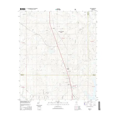
 - 2015 Map of Wiggins, 2015 Print
 2015 Wiggins2015 Print · USGSCovers Stone County, including Wiggins, Ten Mile, and other nearby areas
 - 2015 Map of McHenry, 2015 Print
 2015 McHenry2015 Print · USGSCovers Stone County, including Howison, McHenry, and other nearby areas
 - 2015 Map of Bond, 2015 Print
 2015 Bond2015 Print · USGSCovers Stone County, including Wiggins, Maxie, and other nearby areas
 - 2015 Map of Silver Run, 2015 Print
 2015 Silver Run2015 Print · USGSCovers Stone County, including Silver Run, Barth, and other nearby areas
Showing maps 1-25 of 67
Top cities of Stone County
Frequently asked questions
- What are the different types of historical maps available for Stone County?
- What is the oldest map of Stone County?
- Where can I purchase historical maps of Stone County for my home or office?
- Where can I download high-res historical maps of Stone County?
- Are there historical topographic maps available for Stone County?
- Is there historical aerial imagery available for Stone County?
- Where are historical maps of Stone County sourced from?