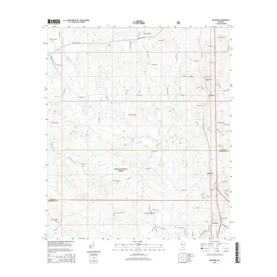
2015 Map of McHenry
USGS Topo · Published 2015About this map
Desoto National Forest dominates the heart of this coastal Mississippi landscape, where the Biloxi River and its numerous tributaries, such as Indian Turner Br and Race Path Br, carve through the pine-rich terrain. The map captures a transition between the established communities of McHenry and Saucier, connected by the spine of the highway corridor. For genealogists, the map is particularly valuable for its density of family-named landmarks and resting places, including Hickman Cem, Wedgeworth Cem, and the uniquely named Yellow Fever Cem. These smaller burial grounds, often tucked away on rural roads like Bo Hickman Rd or Steven Hickman Rd, suggest the long-standing family ties and the historical health challenges of this Gulf Coast region. The boundary line between Stone Co and Harrison Co bisects the quadrangle, illustrating the jurisdictional divide that once separated these timber and rail-dependent communities.
Find a feature on this map
91 named features on this map. Tap any name to fly to it.
Don’t see what you’re looking for? This feature index may not catch every label — zoom into the map to look around manually.
Map Details
Editions of this 2015 McHenry Map
This is the sole edition of this map. No revisions or reprints were ever made.
Other maps of this area

1947 · Wiggins
USGS Topo · 1:62,500

1949 · Wiggins
USGS Topo · 1:62,500

1953 · Mobile
USGS Topo · 1:250,000

1954 · McHenry
USGS Topo · 1:62,500

1955 · Savannah
USGS Topo · 1:62,500

1957 · Mobile
USGS Topo · 1:250,000

1958 · Carnes
USGS Topo · 1:62,500

1960 · Mobile
USGS Topo · 1:250,000

1963 · Mobile
USGS Topo · 1:250,000

1965 · Mobile
USGS Topo · 1:250,000