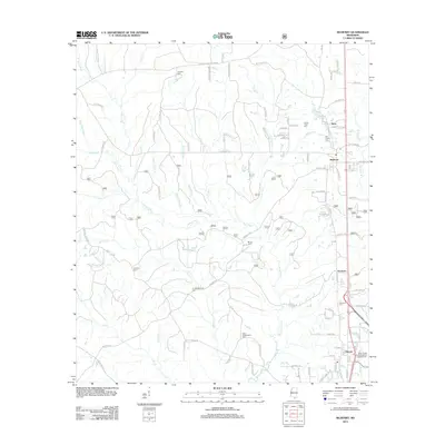
2012 Map of McHenry
USGS Topo · Published 2012About this map
McHenry and Howison stand as the primary settlements in this rural Harrison County landscape, situated along a north-south corridor that parallels the Biloxi River. The area is notably dense with small family and community burial grounds, including the Hickman Cem, Bond Cem, and the D C Wedgeworth Cem. One of the most significant historical markers is the Yellow Fever Cem, which serves as a silent witness to past epidemics in the region.
Find a feature on this map
96 named features on this map. Tap any name to fly to it.
Don’t see what you’re looking for? This feature index may not catch every label — zoom into the map to look around manually.
Map Details
Editions of this 2012 McHenry Map
This is the sole edition of this map. No revisions or reprints were ever made.
Other maps of this area

1947 · Wiggins
USGS Topo · 1:62,500

1949 · Wiggins
USGS Topo · 1:62,500

1953 · Mobile
USGS Topo · 1:250,000

1954 · McHenry
USGS Topo · 1:62,500

1955 · Savannah
USGS Topo · 1:62,500

1957 · Mobile
USGS Topo · 1:250,000

1958 · Carnes
USGS Topo · 1:62,500

1960 · Mobile
USGS Topo · 1:250,000

1963 · Mobile
USGS Topo · 1:250,000

1965 · Mobile
USGS Topo · 1:250,000