2010s Maps of Stone County, Mississippi
Explore 36 historic maps of Stone County from the 2010s. These maps offer a rare glimpse into what life looked like during the 2010s — showing old roads, neighborhoods, homes, and landmarks that have changed or disappeared over time.
Whether you're researching your family's past, planning a metal detecting trip, or studying how Stone County's landscape evolved across the 2010s, these high-resolution maps are a powerful tool for exploring the history of this region.
- Focus on a specific era: All maps on this page are from the 2010s, giving you a focused view of this time period.
- See what’s changed: Compare century-old streets, trails, and buildings to today's modern landscape using overlays and satellite layers.
- Research with precision: Use these maps for genealogy, historical research, land use analysis, or educational projects.
- View, download, or print: Maps are fully viewable online in high resolution, and can be downloaded or printed for your own records.
Start exploring Stone County's history through authentic maps from the 2010s. This is your window into the past.
Stone County, MS maps
(36)- 2012 Map of Beatrice, 2012 Print
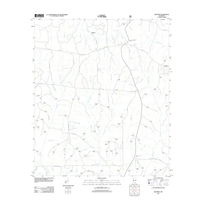 2012 Beatrice2012 Print · USGSCoastal Mississippi's interior pine forests and rural crossroads are captured here during the early 2010s. Genealogists can locate family sites like Broadus Cem and Ramsey Cem while tracing the historic route of Wire Rd E.
 - 2012 Map of Ramsey Springs, 2012 Print
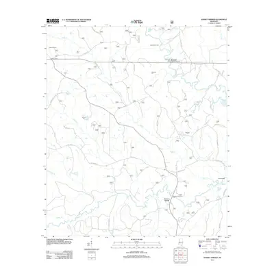 2012 Ramsey Springs2012 Print · USGSStone County’s river-fed backcountry comes to life in this survey of the Mississippi piney woods during the early twenty-first century. Genealogists and local historians can trace family roots through Moore Cem, Wittington Cem, and the settlement at Rosette.
 - 2012 Map of Bond Pond, 2012 Print
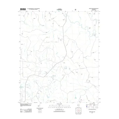 2012 Bond Pond2012 Print · USGSStone County’s forested creek bottoms are captured here during the early twenty-first century, showing a landscape defined by family settlements and water. Genealogists can locate several family burial sites including Howard-Breland Cem and Taylor Cemetery near Bluff Cr.
 - 2012 Map of Whites Crossing, 2012 Print
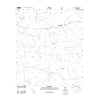 2012 Whites Crossing2012 Print · USGSMississippi's southern piney woods are documented here in the early twenty-first century, showing a rural landscape defined by the winding Red Creek. Researchers can locate family landmarks like Whites Cemetery or trace the environs of Whites Crossing and Big Level.
 - 2012 Map of Wiggins, 2012 Print
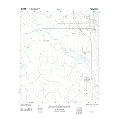 2012 Wiggins2012 Print · USGSStone County is shown in detail during a period of established growth, centered on the city of Wiggins and the academic grounds of Perkinston. Genealogists can trace numerous local burial sites like Welcome Hill Cem and Price Memorial Cem, or locate family landmarks near Ball Hill Reed Brake.
 - 2012 Map of Silver Run, 2012 Print
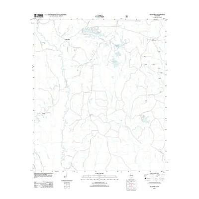 2012 Silver Run2012 Print · USGSSilver Run and the Pearl River County backcountry are captured here in the early twenty-first century, showing a landscape of timberlands and family homesteads. Researchers can locate ancestral sites like Dedeaux Cem or trace landmarks such as the Hickman Lookout Tower.
 - 2012 Map of Barbara, 2012 Print
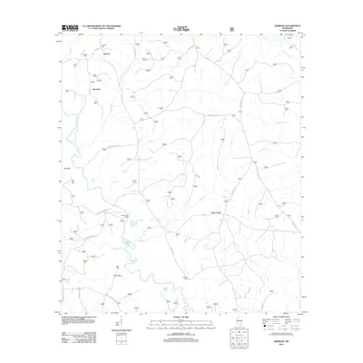 2012 Barbara2012 Print · USGSPerry County's rural creek-bottom lands and timbered ridges are captured here in the early twenty-first century. Genealogists and local historians can locate several family burial sites, including Thomas Cem and O'Neal Cem, or trace the winding course of Black Creek past Fairley Bridge Landing.
 - 2012 Map of Airey, 2012 Print
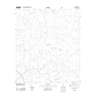 2012 Airey2012 Print · USGSHarrison County in the early twenty-first century reveals a landscape of managed timberlands and family-named homesteads. Genealogists and historians can locate Broadus Cem, trace the drainage of Tuxachanie Cr, and find the Airey Lookout Tower.
 - 2012 Map of Carnes, 2012 Print
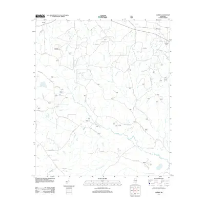 2012 Carnes2012 Print · USGSStone County life in the early twenty-first century is centered on rural communities like Carnes and Texas. Genealogists and historians can trace family roots through numerous burial sites including Entrekin Cem, Bounds Cem, and the Thomas School site.
 - 2012 Map of Bond, 2012 Print
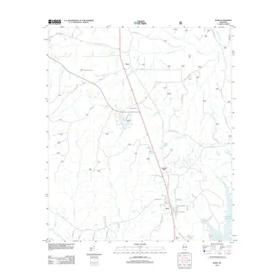 2012 Bond2012 Print · USGSMississippi's piney woods come to life in this survey of the Stone County timber belt during the early 2010s. Researchers can trace the layout of Fruitland Park and Bond or find family history at Saint Paul Cem and the Maxie Gas Field.
 - 2012 Map of Browns Lake, 2012 Print
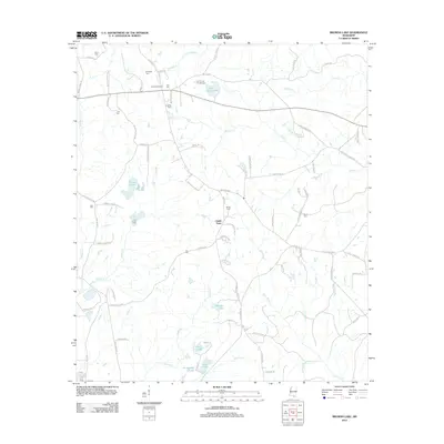 2012 Browns Lake2012 Print · USGSStone County in the early twenty-first century reveals a deeply rooted rural landscape centered on the settlement of Smith Town. Genealogists and local historians can trace family land via Lee Lookout Tower and numerous burial sites like Seals Cem and Daugdrill Cem.
 - 2012 Map of McHenry, 2012 Print
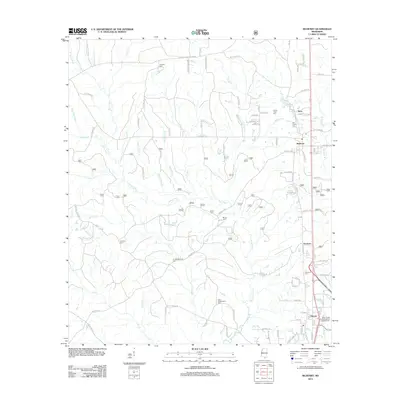 2012 McHenry2012 Print · USGSHarrison County settlement patterns and family heritage are on display here in the early twenty-first century. Genealogists can trace local lineages through family-named landmarks like Doss Wedgeworth Cem or the haunting Yellow Fever Cem near Perry.
 - 2015 Map of Bond Pond, 2015 Print
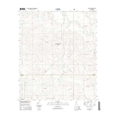 2015 Bond Pond2015 Print · USGSStone and Perry Counties are documented here in the mid-2010s as the Desoto National Forest meets the northern outskirts of Wiggins. Researchers can trace rural lineages through family landmarks like Howard-Breland Cem, Sims Cem, and Taylor Cemetery.
 - 2015 Map of Beatrice, 2015 Print
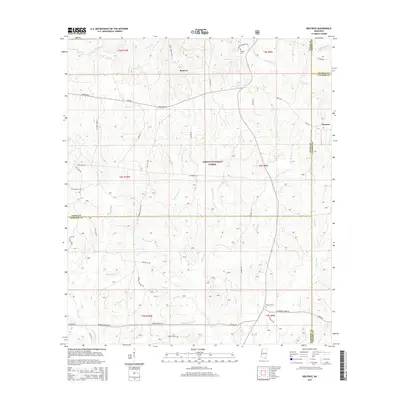 2015 Beatrice2015 Print · USGSCoastal Mississippi pine lands come into focus in the mid-2010s at the intersection of four counties. Genealogists and local historians can trace family sites like Broadus Cem and Ramsey Cem near the historic Wire Road E and Beatrice.
 - 2015 Map of Wiggins, 2015 Print
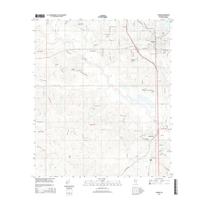 2015 Wiggins2015 Print · USGSStone County’s timber and education corridor is centered here around the busy hub of Wiggins and the southern campus at Perkinston. Researchers can locate numerous family burial sites like Price Memorial Cem and trace the many branches of Red Creek.
 - 2015 Map of McHenry, 2015 Print
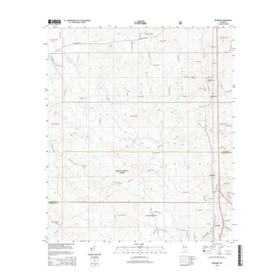 2015 McHenry2015 Print · USGSCoastal Mississippi's timberlands and rural communities are preserved in this mid-2010s survey of the Stone and Harrison County line. Genealogists can locate family burial sites like Yellow Fever Cem and Oak Lawn Cem near the historic settlements of McHenry and Saucier.
 - 2015 Map of Bond, 2015 Print
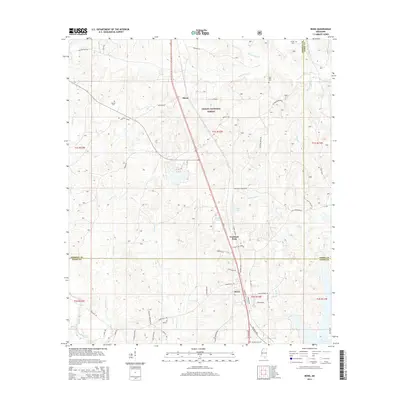 2015 Bond2015 Print · USGSSouth Mississippi’s piney woods come into focus during this mid-decade survey of the Stone and Forrest County line. Genealogists and local researchers can locate family sites like Batson Cem or trace the early paths of Fruitland Park and Maxie.
 - 2015 Map of Silver Run, 2015 Print
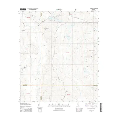 2015 Silver Run2015 Print · USGSThe pine forests of Pearl River County are documented here in the mid-2010s, showing a landscape defined by timber and the Wolf River watershed. Local historians can locate ancestral sites like Dedeaux Cem and Hester Cem along historic routes like Silver Run Rd.
 - 2015 Map of Whites Crossing, 2015 Print
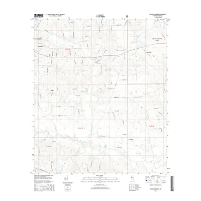 2015 Whites Crossing2015 Print · USGSStone County, Mississippi, is shown here in the mid-2010s as a landscape of managed timberland and rural crossroads. Local historians can trace family roots through numerous sites like Sumrall Cemetery, Whites Crossing, and the small community of India.
 - 2015 Map of Ramsey Springs, 2015 Print
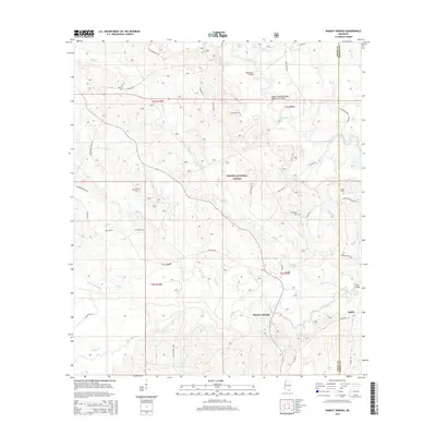 2015 Ramsey Springs2015 Print · USGSCoastal Mississippi's piney woods and creek bottoms are well-documented here during the early twenty-first century. Genealogists and local historians can trace family locations through numerous sites like Hickman Cem, Alexander Bridge, and the settlement of Ramsey Springs.
 - 2015 Map of Carnes, 2015 Print
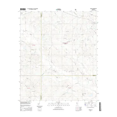 2015 Carnes2015 Print · USGSSouthern Mississippi's rural timber and creek lands are captured here just after the turn of the millennium. Researchers can locate numerous family burial sites like Eureka Cem and Lott Smith Cem near the settlements of Carnes and Texas.
 - 2015 Map of Browns Lake, 2015 Print
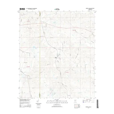 2015 Browns Lake2015 Print · USGSThe borderlands of Stone and Pearl River Counties are captured here in a 2015 survey of the rural landscape around Smith Town. Researchers can trace family history through several local burial sites, including Davis, Lee, and Daugdrill Cemeteries.
 - 2015 Map of Barbara, 2015 Print
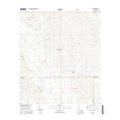 2015 Barbara2015 Print · USGSPerry County and the surrounding Pine Belt are captured here in the mid-2010s, showing a landscape defined by forest and family-named landmarks. Genealogists can locate several burial sites including Fairley Cem, Cooper Cem, and Red Hill Cem.
 - 2015 Map of Airey, 2015 Print
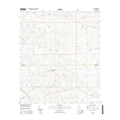 2015 Airey2015 Print · USGSSoutheastern Mississippi's piney woods and creek bottoms are documented here in the mid-2010s. Local researchers can trace family landmarks and burial sites across the DeSoto National Forest, from Airey to Broadus Cemetery and Lott Cemetery.
 - 2018 Map of McHenry, 2018 Print
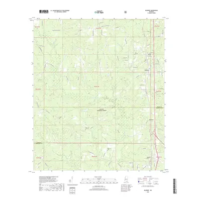 2018 McHenry2018 Print · USGSHarrison and Stone County communities are captured here in the late twenty-teens, showing the enduring rural character of the De Soto National Forest. Researchers can trace local lineage through numerous sites like the Yellow Fever Cem, Oak Lawn Cem, and the family-named D E Wedgeworth Cem.
Showing maps 1-25 of 36
Top cities of Stone County
Frequently asked questions
- What are the different types of historical maps available for Stone County?
- What is the oldest map of Stone County?
- Where can I purchase historical maps of Stone County for my home or office?
- Where can I download high-res historical maps of Stone County?
- Are there historical topographic maps available for Stone County?
- Is there historical aerial imagery available for Stone County?
- Where are historical maps of Stone County sourced from?