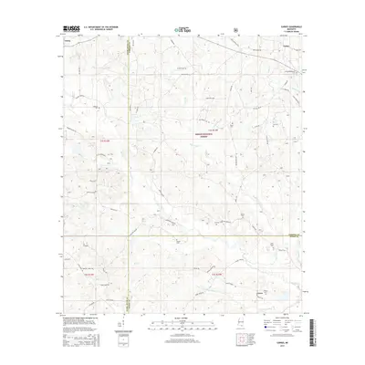
2015 Map of Carnes
USGS Topo · Published 2015About this map
DeSoto National Forest provides the backdrop for this southern Mississippi landscape where the borders of Pearl River, Forrest, and Stone counties converge. The area is defined by a dense network of watercourses, including the meandering Red Creek and its many tributaries like Billy Br, Wash Cr, and Double Br. The small settlements of Carnes and Texas serve as focal points for a rural community connected by family-named roads such as Mary Sollie Rd and Joe Lee Rd. For genealogists, the map is particularly detailed, recording numerous small family and community burial grounds including Entrekin Cem, Seal Cem, Eureka Cem, and the J E Bounds Memorial Cem. This 2015 survey reveals a terrain where timber and small-scale agriculture persisted into the 21st century, centered around the drainage basins of Mill Cr and Indian Cr.
Find a feature on this map
73 named features on this map. Tap any name to fly to it.
Don’t see what you’re looking for? This feature index may not catch every label — zoom into the map to look around manually.
Map Details
Editions of this 2015 Carnes Map
This is the sole edition of this map. No revisions or reprints were ever made.
Other maps of this area

1947 · Wiggins
USGS Topo · 1:62,500

1947 · New Augusta
USGS Topo · 1:62,500

1949 · Wiggins
USGS Topo · 1:62,500

1949 · New Augusta
USGS Topo · 1:62,500

1953 · Hattiesburg
USGS Topo · 1:250,000

1953 · Mobile
USGS Topo · 1:250,000

1957 · Mobile
USGS Topo · 1:250,000

1958 · Hattiesburg
USGS Topo · 1:250,000

1958 · Carnes
USGS Topo · 1:62,500

1960 · Mobile
USGS Topo · 1:250,000