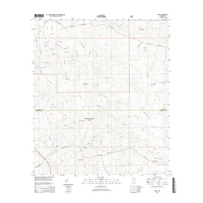
2015 Map of Airey
USGS Topo · Published 2015About this map
Airey serves as a central point of settlement within this portion of the DeSoto National Forest, where the landscape is defined by an intricate network of waterways and timberland. This 2015 survey illustrates a rural environment transition at the boundary of Stone and Harrison Counties, anchored by long-standing local landmarks such as Broadus Cemetery and Lott Cemetery. The terrain is deeply carved by the Tuxachanie Creek and its many tributaries, including Saucier Creek, Beaver Dam Creek, and Spike Buck Creek. The map documents a mix of named family roads like Percy O'Neal Road and Olie Walker Road, alongside specialized features like WLOX-TV Road and Copeland Spring, reflecting the area's modern infrastructure and historic land use patterns.
Find a feature on this map
78 named features on this map. Tap any name to fly to it.
Don’t see what you’re looking for? This feature index may not catch every label — zoom into the map to look around manually.
Map Details
Editions of this 2015 Airey Map
This is the sole edition of this map. No revisions or reprints were ever made.
Other maps of this area

1947 · Wiggins
USGS Topo · 1:62,500

1947 · Benndale
USGS Topo · 1:62,500

1949 · Wiggins
USGS Topo · 1:62,500

1949 · Benndale
USGS Topo · 1:62,500

1953 · Mobile
USGS Topo · 1:250,000

1954 · Vestry
USGS Topo · 1:62,500

1954 · McHenry
USGS Topo · 1:62,500

1957 · Mobile
USGS Topo · 1:250,000

1960 · Mobile
USGS Topo · 1:250,000

1963 · Mobile
USGS Topo · 1:250,000