Old Maps of Ramsey Springs, Mississippi
Explore 17 old maps of Ramsey Springs, spanning from 1947 to today. These high-resolution historic maps reveal how streets, neighborhoods, landmarks, and natural features evolved over time — perfect for genealogy, metal detecting, research, and local history exploration.
What you can do with these maps:
- See how Ramsey Springs changed over time: Compare historical maps to modern-day views to trace roads, homesites, rail lines & more.
- View detailed metadata: Each map includes creators, publishers, year, scale, and archive source.
- Overlay maps with satellite & LiDAR: Visualize the past alongside modern tools to explore terrain & human change.
- Trusted historical sources: Maps sourced from the USGS, Library of Congress, and other archives.
- Access maps your way: View online, download high-res files, or order prints for personal or research use.
Start exploring old maps of Ramsey Springs to uncover forgotten places, hidden landmarks, and the deep history beneath your feet.
Ramsey Springs, MS maps
(17)- 1947 Map of Benndale, 1966 Print
 1947 Benndale1966 Print · USGSSoutheast Mississippi's piney woods and river bottoms are documented here just after the war. Researchers can locate family landmarks like Alexander Bridge, Indian Cem, and the community of Benndale amidst the Pascagoula River wetlands.2 unique versions available
 - 1949 Map of Benndale
 1949 Benndale1949 Print · USGSSoutheast Mississippi's piney woods and river bottoms come into focus in the late 1940s as the De Soto National Forest reaches across four counties. Researchers can trace the heritage of local settlements through Benndale, St Luke Ch, and several family cemeteries.2 unique versions available
 - 1953 Map of Mobile, 1968 Print
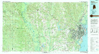
 1953 Mobile1968 Print · USGSThe Gulf Coast comes alive in this mid-century survey, from the streets of Mobile to the marshes of New Orleans. Trace family roots in coastal towns like Pass Christian and Bayou La Batre or locate military landmarks including Keesler AFB.3 unique versions available
 - 1957 Map of Mobile
 1957 Mobile1957 Print · USGSThe Gulf Coast in the mid-1950s reveals a bustling corridor of rail-and-river commerce connecting Alabama to Louisiana. Genealogists and historians can trace old settlements and military hubs from Keesler Afb to the coastal reaches of Ship Island and Bogalusa.3 unique versions available
 - 1960 Map of Mobile
 1960 Mobile1960 Print · USGSThe Gulf Coast at the dawn of the sixties shows a landscape of busy ports, military airbases, and barrier islands. Trace the rail lines of the Louisville & Nashville through BILOXI and Pascagoula or find family history in towns like Bayou La Batre and Poplarville.
 - 1963 Map of Mobile
 1963 Mobile1963 Print · USGSThe Gulf Coast at the dawn of the sixties shows a thriving maritime and military corridor from Louisiana to Alabama. Genealogists and historians can trace rail lines like the Louisville & Nashville RR and find landmarks from Brookley AFB to Fort Morgan.
 - 1965 Map of Mobile
 1965 Mobile1965 Print · USGSThe Gulf Coast at mid-century reveals a landscape of expanding ports and vital military installations from Louisiana to Alabama. Genealogists and historians can trace the growth of Biloxi, Pascagoula, and Mobile, alongside the sprawling De Soto National Forest.
 - 1982 Map of Ramsey Springs
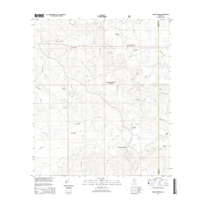
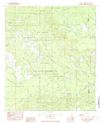 1982 Ramsey Springs1982 Print · USGSSoutheastern Mississippi's piney woods and creek bottoms are documented here in the early eighties. Genealogists can locate family landmarks like Whittington Cem and Moore Cem or trace the Old RR Grade through Ramsey Springs.
 - 1984 Map of Mobile
 1984 Mobile1984 Print · USGSMobile and its surrounding Gulf Coast backcountry appear in the mid-eighties as a hub of maritime industry and timber management. Genealogists and historians can trace the development of the riverfront near McDuffie Island or explore rural settlements like Lucedale and Chunchula.
 - 1984 Map of Mobile
 1984 Mobile1984 Print · USGSThe Gulf Coast at the height of the mid-eighties shows a landscape of rapid industrial growth and military significance. Researchers can trace the sprawling rail lines of the Illinois Central Gulf RR, locate the NASA Test Facility, or study the barrier island chain from Cat Island to Petit Bois Island.3 unique versions available
 - 1994 Map of Mobile
 1994 Mobile1994 Print · USGSMobile and its sprawling bay are captured in the mid-nineties as the industrial port and coastal wilderness found a modern balance. Genealogists and historians can trace rail lines like the Illinois Central Gulf RR and find landmarks such as Bonnie Chapel and Hollingers Island.
 - 2000 Map of Ramsey Springs, 2002 Print
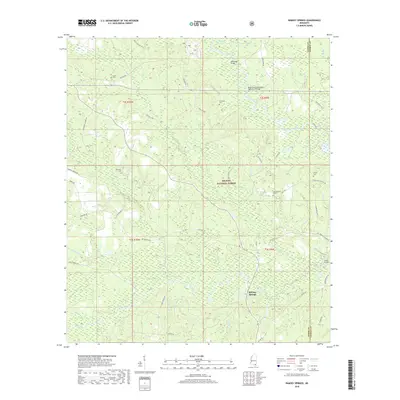
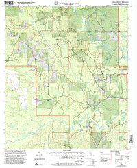 2000 Ramsey Springs2002 Print · USGSSoutheast Mississippi forest lands at the turn of the millennium are defined here by the winding Black Creek and Red Creek corridors. Researchers can locate remote family burial sites like Whittington Cem and Hickman Cem or trace the early rural hubs of Ramsey Springs and Moore Crossing.
 - 2012 Map of Ramsey Springs, 2012 Print
 2012 Ramsey Springs2012 Print · USGSCovers Ramsey Springs, including George County, Stone County, and other nearby areas
 - 2015 Map of Ramsey Springs, 2015 Print
 2015 Ramsey Springs2015 Print · USGSCovers Ramsey Springs, including George County, Stone County, and other nearby areas
 - 2018 Map of Ramsey Springs, 2018 Print
 2018 Ramsey Springs2018 Print · USGSCovers Ramsey Springs, including George County, Stone County, and other nearby areas
 - 2021 Map of Ramsey Springs, 2021 Print
 2021 Ramsey Springs2021 Print · USGSCovers Ramsey Springs, including George County, Stone County, and other nearby areas
 - 2024 Map of Ramsey Springs, 2024 Print
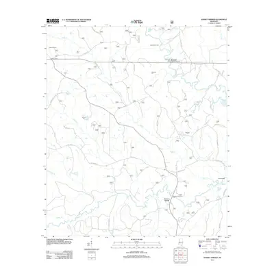
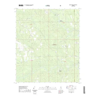
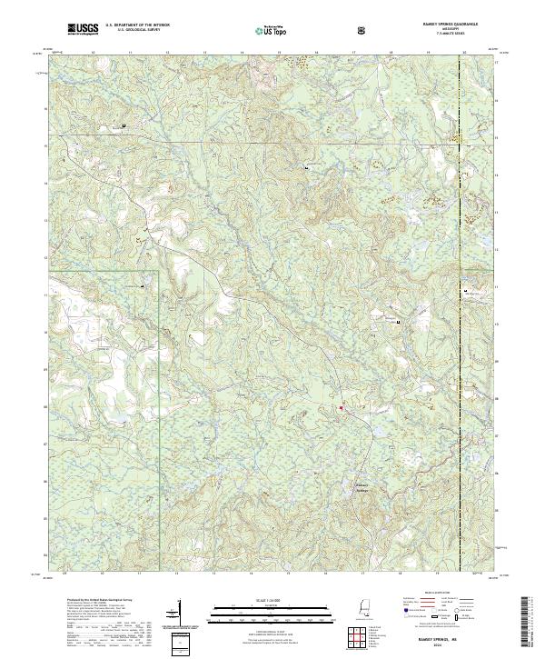 2024 Ramsey Springs2024 Print · USGSThe Piney Woods of Stone County are mapped in the modern era, showing the quiet settlement of Ramsey Springs. Genealogists and historians can trace family locations through Moore Cem, Old King Cem, and Wittington Cem.
End of results
Showing maps 1-17 of 17
Top cities near Ramsey Springs
Frequently asked questions
- What are the different types of historical maps available for Ramsey Springs?
- What is the oldest map of Ramsey Springs?
- Where can I purchase historical maps of Ramsey Springs for my home or office?
- Where can I download high-res historical maps of Ramsey Springs?
- Are there historical topographic maps available for Ramsey Springs?
- Is there historical aerial imagery available for Ramsey Springs?
- Where are historical maps of Ramsey Springs sourced from?